516
Total Miles
1.3
Technical Rating
Best Time
Spring, Summer, Fall, Winter
Trail Type
Single Track
Accessible By
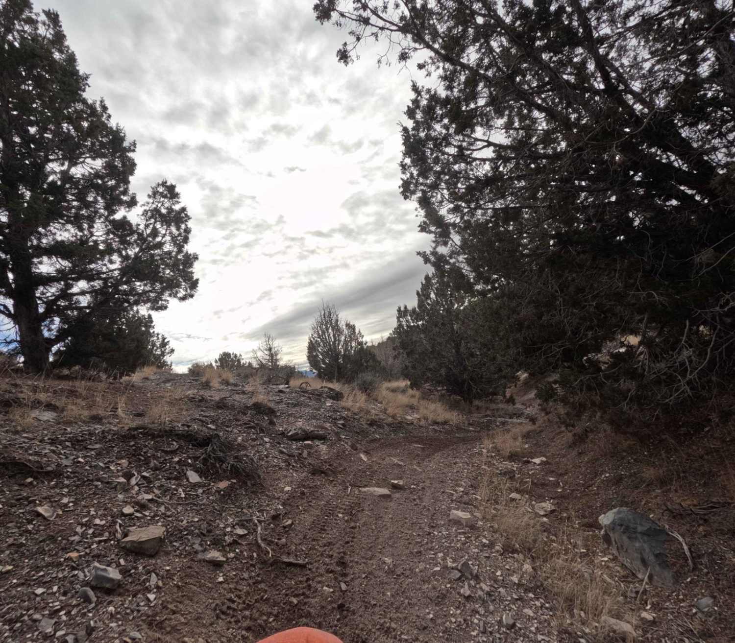
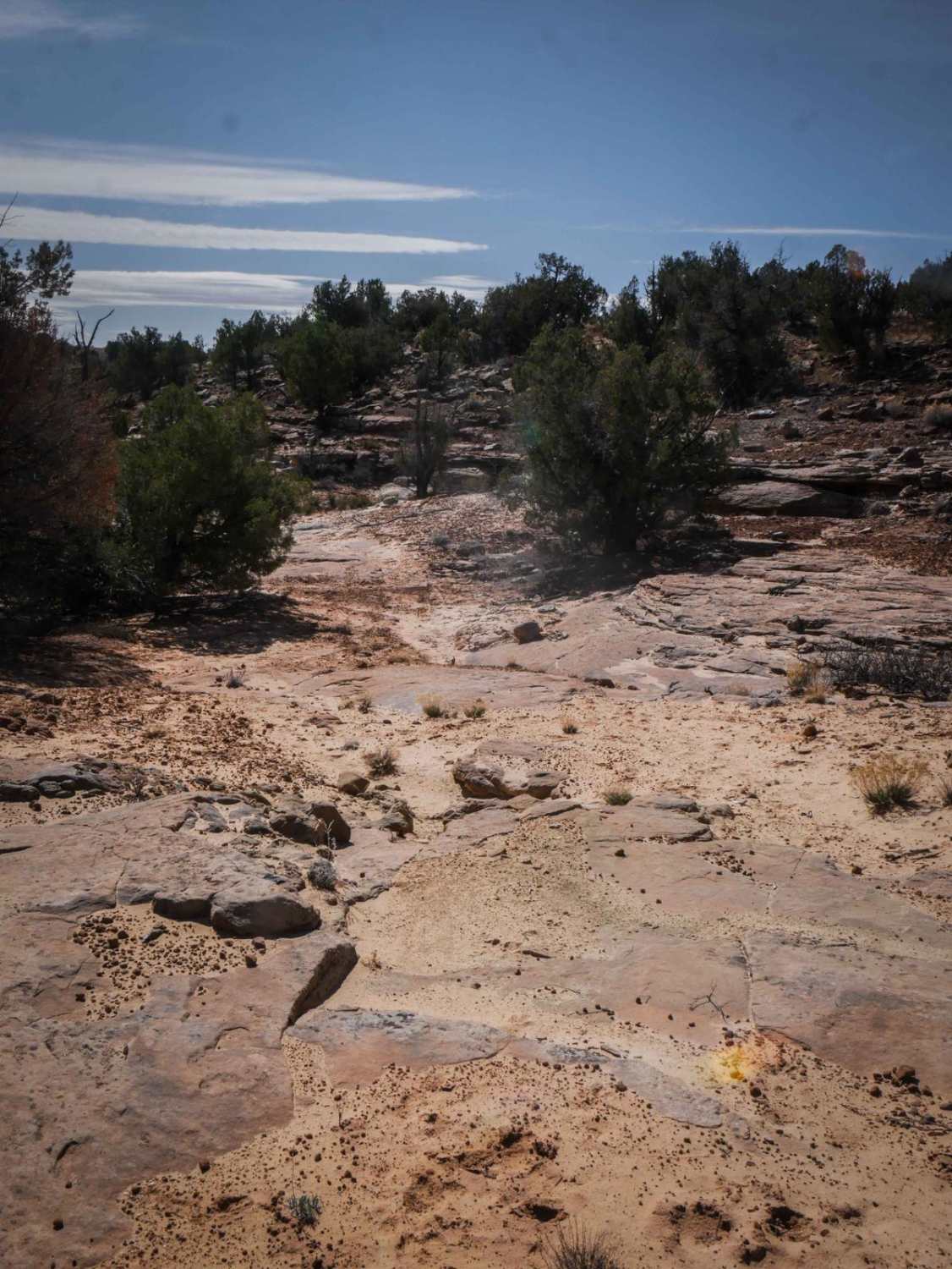
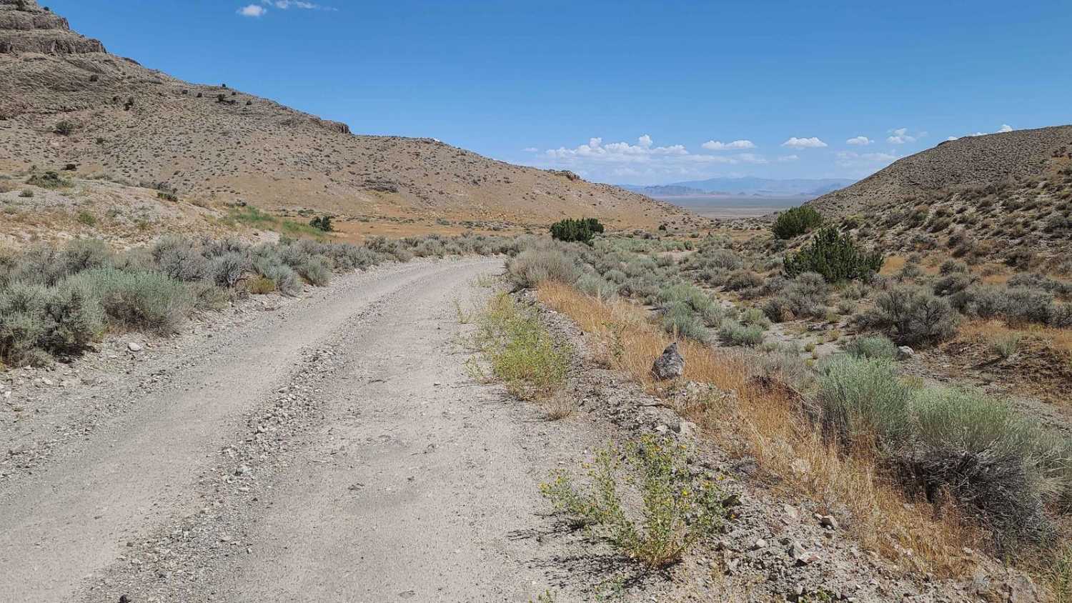
Trail Overview
Trail 516 begins after a dirt road crossing on Trail 514. This is a 1.1-mile long trail that travels West and then North before hitting into Trail 517. Riding North, this track gains ~300 ft of elevation and flows through a few ravines to get there. The ravines feature many banked turns and some pine trees and sagebrush branches that can get in the way. This trail is rockier than most - the dirt has a lot of crushed rock in it, and there are sections of loose golf ball-sized rocks.
Photos of 516

Difficulty
Loose rocks and tree branches are present on this trail.
Status Reports
516 can be accessed by the following ride types:
- Dirt Bike
516 Map
Popular Trails
Limekiln Road-BLM2350
The onX Offroad Difference
onX Offroad combines trail photos, descriptions, difficulty ratings, width restrictions, seasonality, and more in a user-friendly interface. Available on all devices, with offline access and full compatibility with CarPlay and Android Auto. Discover what you’re missing today!