Revenue Basin Road
Total Miles
13.8
Technical Rating
Best Time
Spring, Summer, Fall, Winter
Trail Type
Full-Width Road
Accessible By
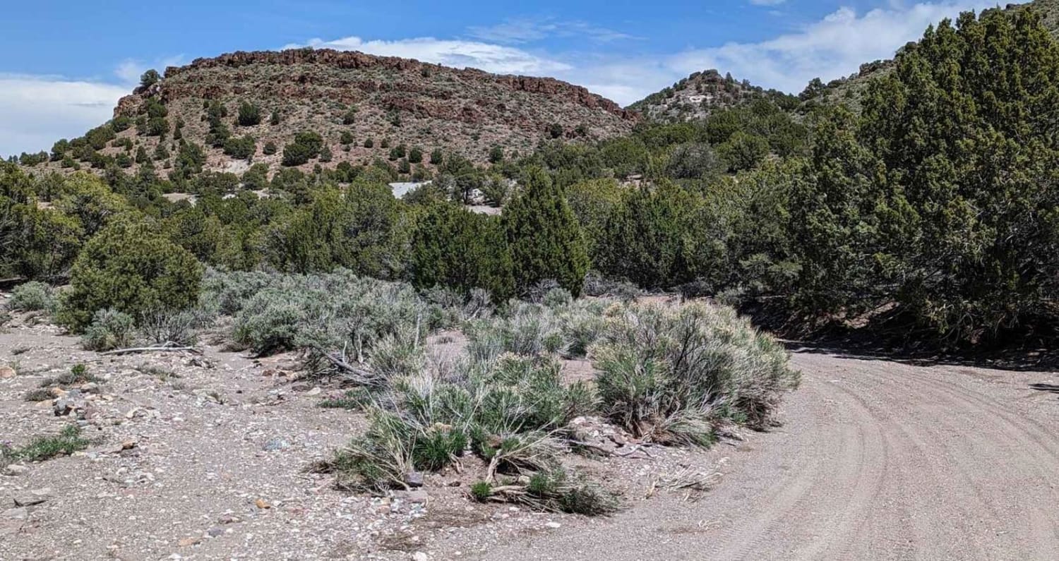
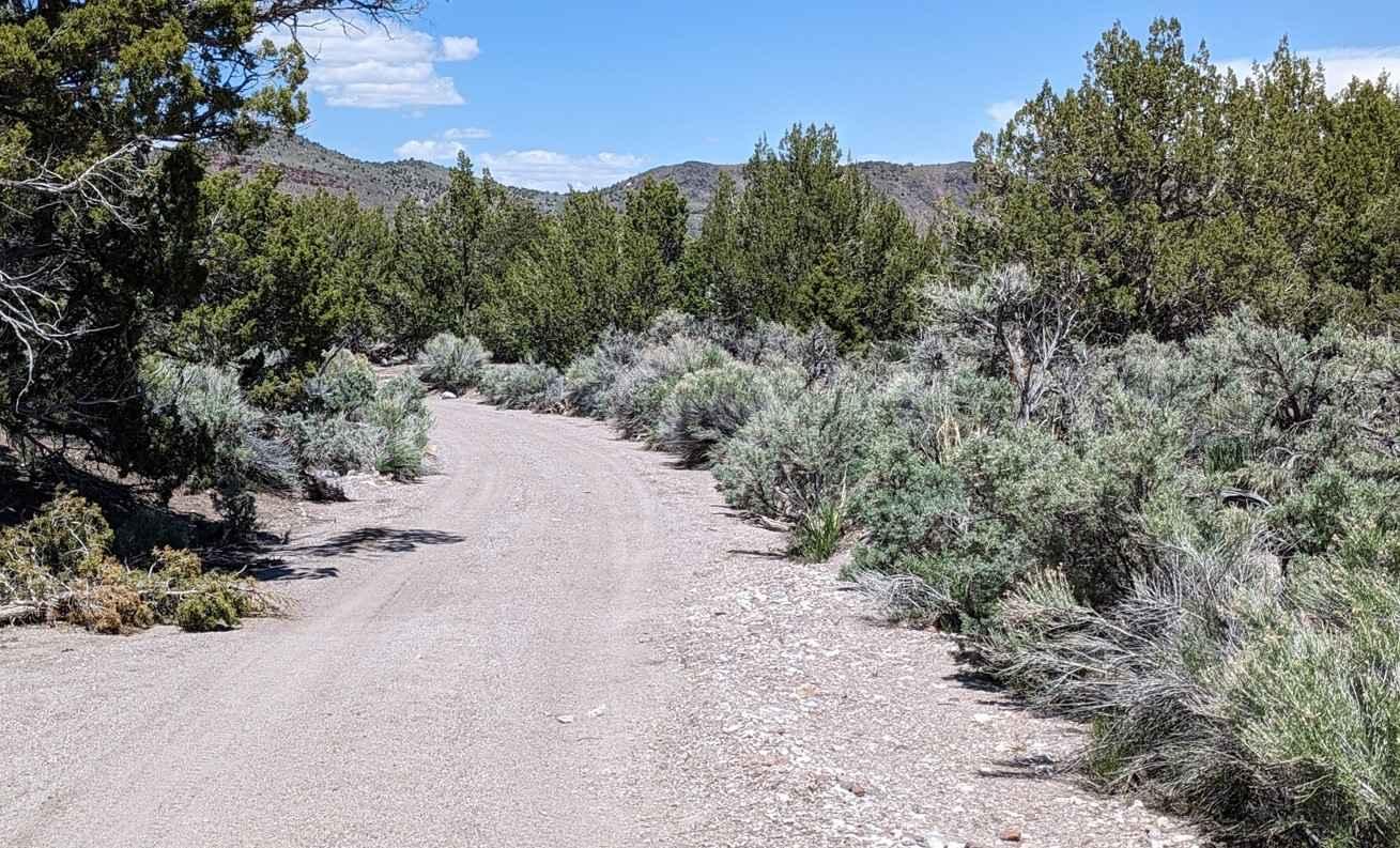
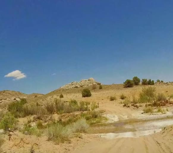
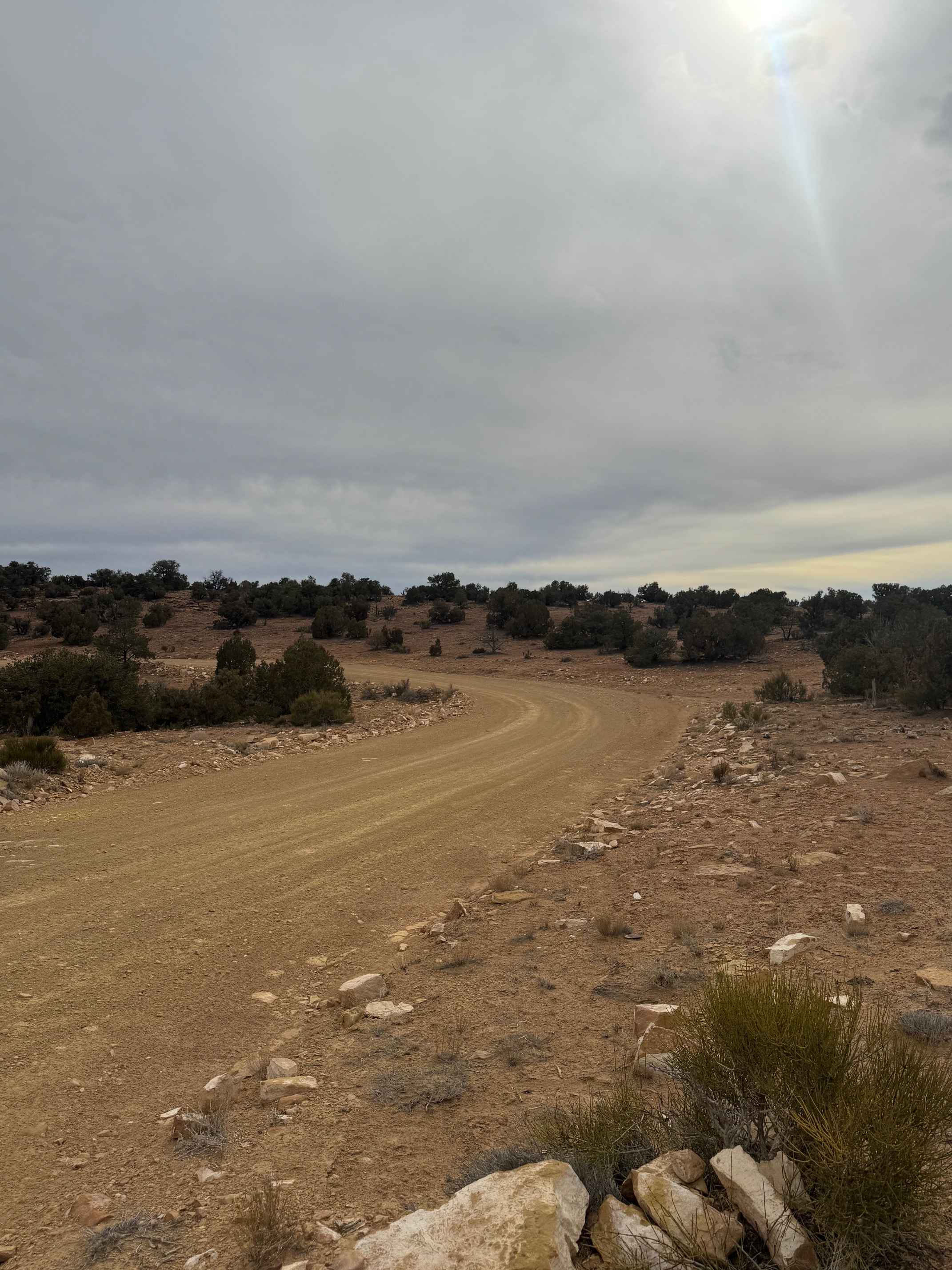
Trail Overview
Revenue Basin Road is a 13.7-mile point-to-point main access road rated 2 of 10. Revenue Basin starts at Utah Highway 21 and runs southwest through the Wah Wah Valley, Revenue Basin, and into the Wah Wah Mountains. The trail rises in elevation nearly 2500' over the 13 miles. This trail is a main access route for many off-road enthusiasts. There are multiple opportunities for dispersed camping on the BLM maintain lands. The trail network at the end of the basin road leads to several mines such as Revenue, Tasso, and The Lou mines. The local Native Americans named the range after Wah Wah Springs, on the eastern slope of the range. It is reported that Wah Wah means "Good Clear Water." The area contains the oldest known genetic ponderosa pine population in the world composed of old-growth stands, scattered groups, and scattered individual trees, including some trees approaching 1,000 years old. This area is very remote with no services of any type. The nearest community is Milford 35 miles to the east. As sections of this road rise above the 6000' level and may not be accessible during the winter.
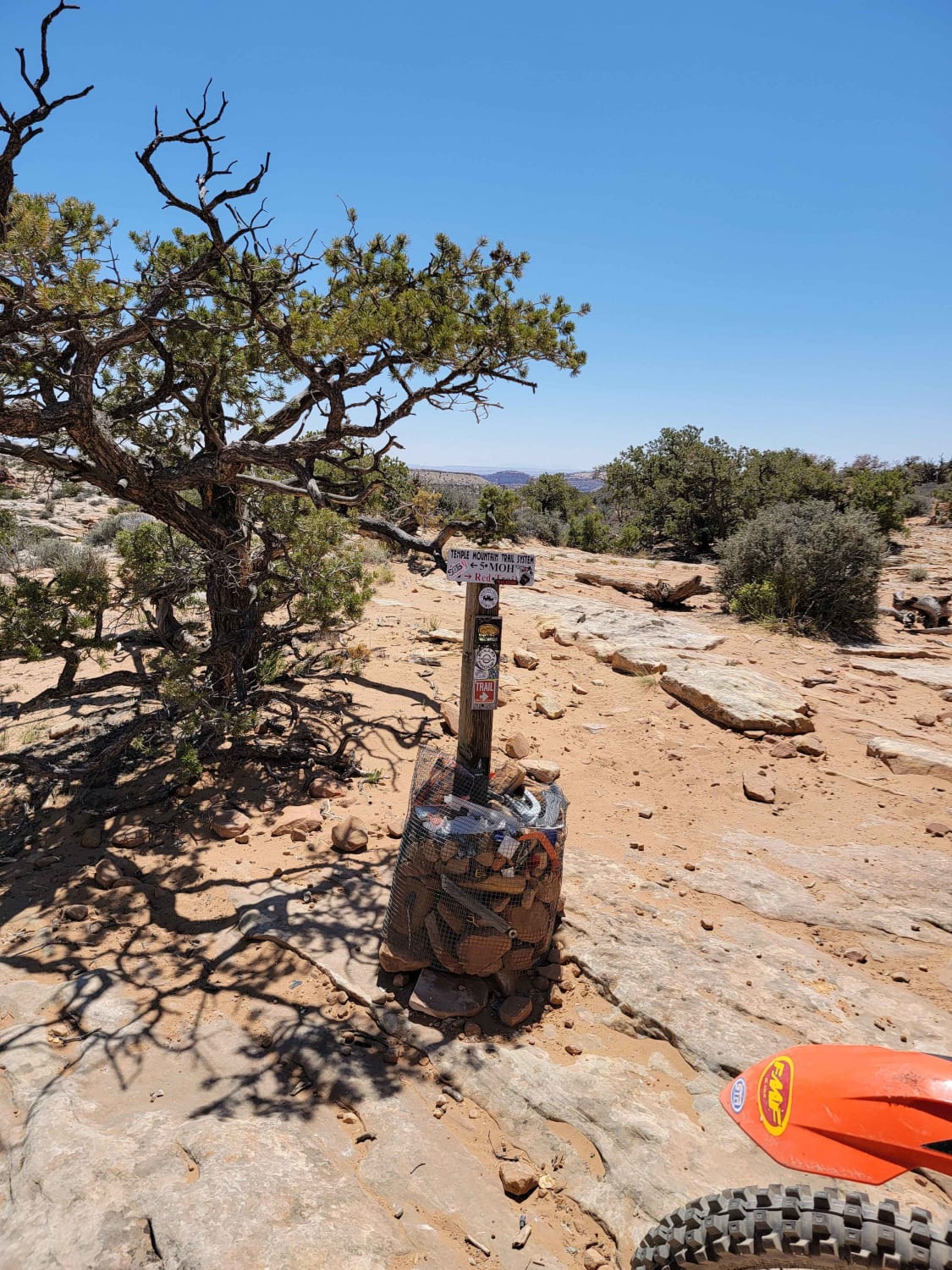
Photos of Revenue Basin Road
Difficulty
This is a county dirt road with infrequent or light maintenance after rain or snow, high clearance light duty 4WD may be required.
Status Reports
Revenue Basin Road can be accessed by the following ride types:
- High-Clearance 4x4
- SUV
- SxS (60")
- ATV (50")
- Dirt Bike
Revenue Basin Road Map
Popular Trails
Hartnett/Cathedral Connector
Temple Junction - BLM 1012
5 Miles of Hell

Horseshoe Canyon
The onX Offroad Difference
onX Offroad combines trail photos, descriptions, difficulty ratings, width restrictions, seasonality, and more in a user-friendly interface. Available on all devices, with offline access and full compatibility with CarPlay and Android Auto. Discover what you’re missing today!