Off-Road Trails in Utah
Discover off-road trails in Utah
Learn more about Prospector Trail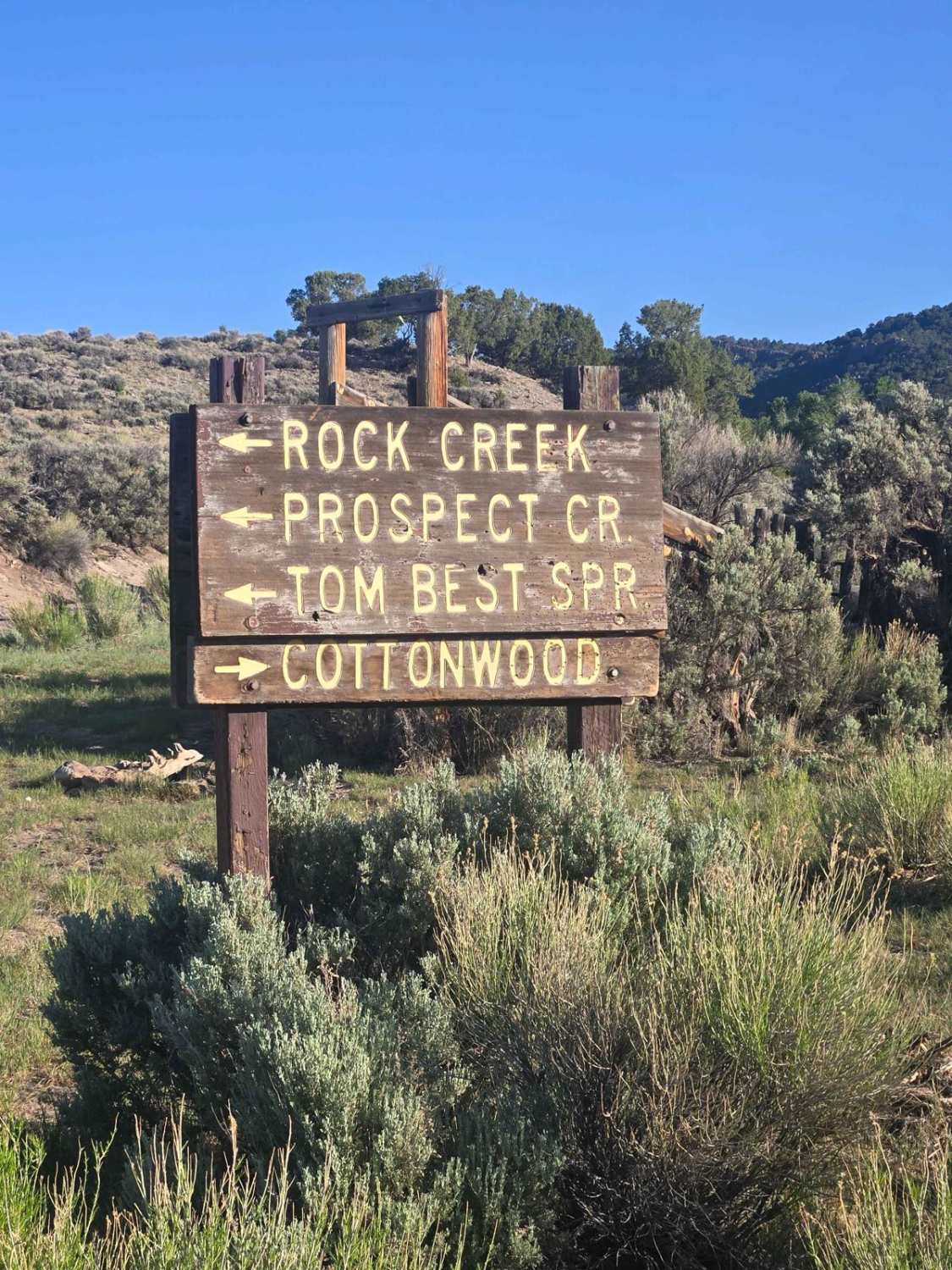
Prospector Trail
Total Miles
13.7
Tech Rating
Easy
Best Time
Spring, Summer, Fall
Learn more about Providence Canyon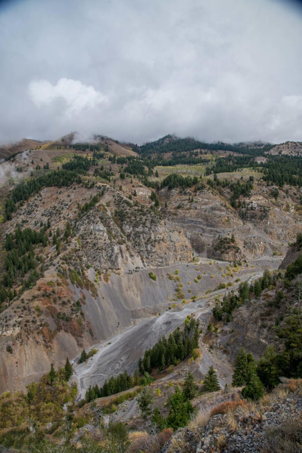
Providence Canyon
Total Miles
11.2
Tech Rating
Difficult
Best Time
Spring, Summer, Fall, Winter
Learn more about Public Grove ATV Trail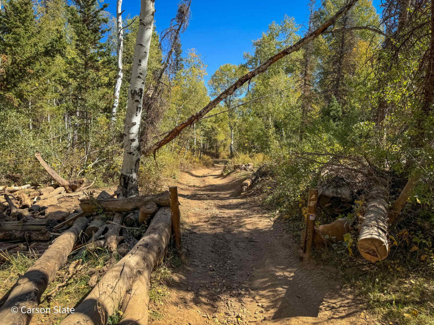
Public Grove ATV Trail
Total Miles
3.0
Tech Rating
Moderate
Best Time
Fall
Learn more about Puddle Valley Road
Puddle Valley Road
Total Miles
8.8
Tech Rating
Easy
Best Time
Spring, Summer, Fall, Winter
Learn more about Pump House Pass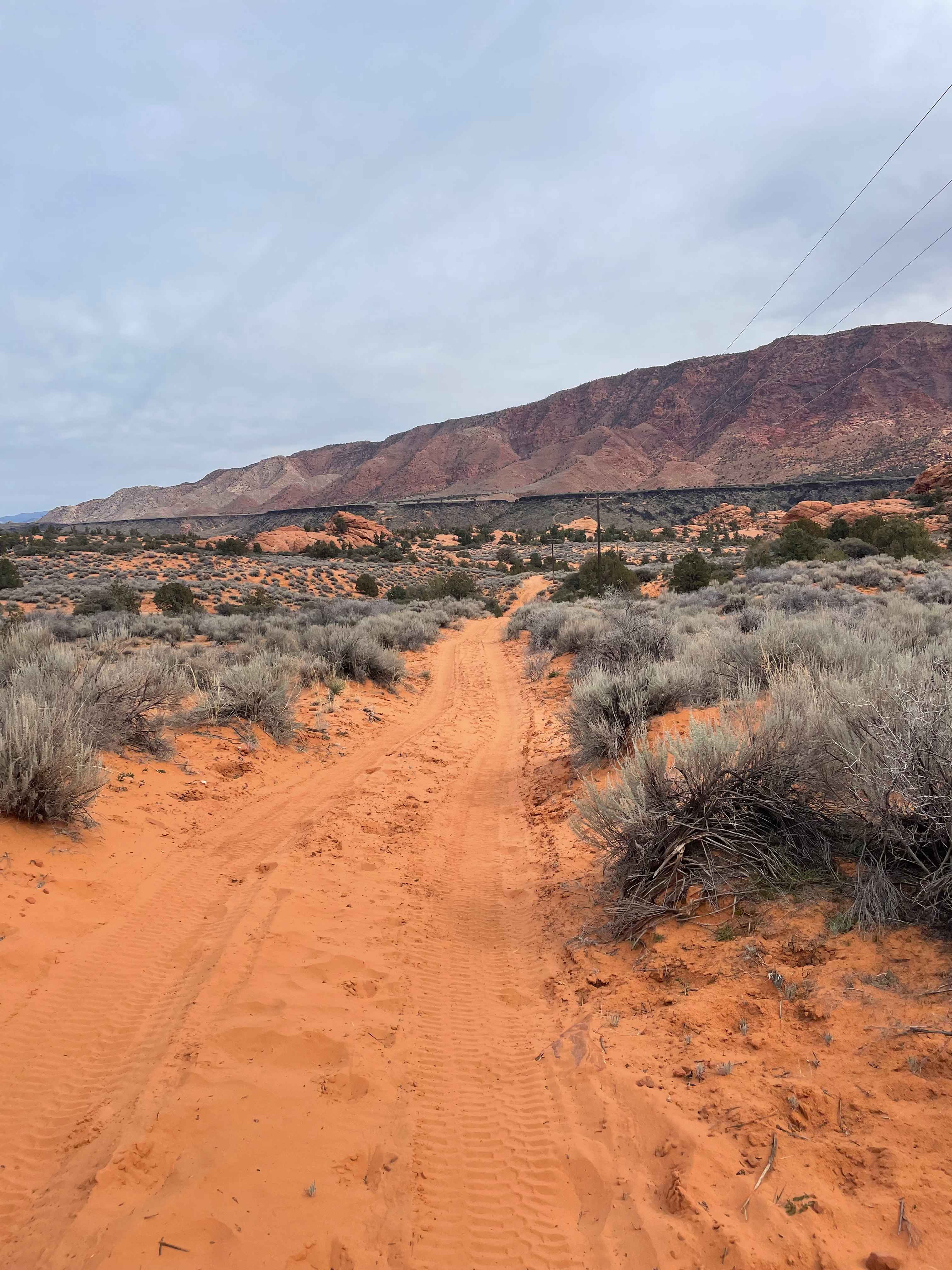
Pump House Pass
Total Miles
2.5
Tech Rating
Moderate
Best Time
Spring, Summer, Fall, Winter
Learn more about Purple Hills Connector - Single Track
Purple Hills Connector - Single Track
Total Miles
0.5
Tech Rating
Moderate
Best Time
Spring, Summer, Fall, Winter
Learn more about Purple Hills Road
Purple Hills Road
Total Miles
3.3
Tech Rating
Easy
Best Time
Spring, Summer, Fall, Winter
Learn more about Queens Court
Queens Court
Total Miles
2.1
Tech Rating
Difficult
Best Time
Spring, Summer, Fall, Winter
Learn more about Quincy Spring Canyon
Quincy Spring Canyon
Total Miles
1.7
Tech Rating
Moderate
Best Time
Summer, Spring, Fall
Learn more about Race Track Reservoir 
Race Track Reservoir
Total Miles
3.7
Tech Rating
Moderate
Best Time
Spring, Summer, Fall
Learn more about Racetrack (FR 70514)
Racetrack (FR 70514)
Total Miles
3.3
Tech Rating
Easy
Best Time
Summer, Fall
Learn more about Racetrack Cutoff (FR 70203)
Racetrack Cutoff (FR 70203)
Total Miles
0.6
Tech Rating
Moderate
Best Time
Summer, Fall
Learn more about Racetrack Layout (FR 70740)
Racetrack Layout (FR 70740)
Total Miles
0.8
Tech Rating
Easy
Best Time
Summer, Fall
Learn more about Radio Tower - Tramway Slide Trail
Radio Tower - Tramway Slide Trail
Total Miles
4.0
Tech Rating
Moderate
Best Time
Fall, Summer
Learn more about Radio Tower Ridge
Radio Tower Ridge
Total Miles
3.9
Tech Rating
Easy
Best Time
Spring, Summer, Fall, Winter
Learn more about Railroad Access Road
Railroad Access Road
Total Miles
5.1
Tech Rating
Easy
Best Time
Spring, Summer, Fall, Winter
Learn more about Rainbow Terrace
Rainbow Terrace
Total Miles
11.4
Tech Rating
Moderate
Best Time
Spring, Summer, Fall
Learn more about Randolph to Peter Sinks Road
Randolph to Peter Sinks Road
Total Miles
31.8
Tech Rating
Easy
Best Time
Summer, Fall
Learn more about Range Creek Access via horse canyon
Range Creek Access via horse canyon
Total Miles
10.1
Tech Rating
Easy
Best Time
Spring, Summer, Fall
Learn more about Rattlesnake Canyon
Rattlesnake Canyon
Total Miles
1.8
Tech Rating
Moderate
Best Time
Summer, Fall, Spring
ATV trails in Utah

Learn more about 14 Mile Road
14 Mile Road
Total Miles
14.7
Tech Rating
Easy
Best Time
Spring, Summer, Fall, Winter


UTV/side-by-side trails in Utah
Learn more about 14 Mile Road
14 Mile Road
Total Miles
14.7
Tech Rating
Easy
Best Time
Spring, Summer, Fall, Winter
The onX Offroad Difference
onX Offroad combines trail photos, descriptions, difficulty ratings, width restrictions, seasonality, and more in a user-friendly interface. Available on all devices, with offline access and full compatibility with CarPlay and Android Auto. Discover what you’re missing today!