Off-Road Trails in Utah
Discover off-road trails in Utah
Learn more about Robertson Pasture Trail No. 020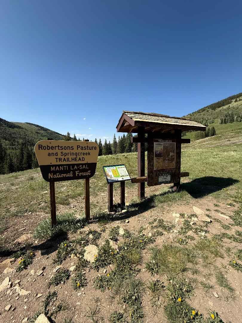
Robertson Pasture Trail No. 020
Total Miles
7.5
Tech Rating
Difficult
Best Time
Summer, Fall
Learn more about Rock Canyon - Dry Fork
Rock Canyon - Dry Fork
Total Miles
3.4
Tech Rating
Moderate
Best Time
Summer, Fall
Learn more about Rock Fight
Rock Fight
Total Miles
3.8
Tech Rating
Moderate
Best Time
Spring, Summer, Fall, Winter
Learn more about Rock Garden
Rock Garden
Total Miles
7.1
Tech Rating
Moderate
Best Time
Spring, Summer, Fall
Learn more about Rock Rim Single Track
Rock Rim Single Track
Total Miles
1.3
Tech Rating
Difficult
Best Time
Winter, Fall, Spring
Learn more about Rock Spring - FS 8101
Rock Spring - FS 8101
Total Miles
4.5
Tech Rating
Easy
Best Time
Fall, Summer
Learn more about Rock Spring #083 
Rock Spring #083
Total Miles
3.2
Tech Rating
Easy
Best Time
Spring, Summer, Fall
Learn more about Rockwood - FSR40110
Rockwood - FSR40110
Total Miles
7.0
Tech Rating
Easy
Best Time
Spring, Summer, Fall
Learn more about Rocky Bluff 
Rocky Bluff
Total Miles
1.6
Tech Rating
Moderate
Best Time
Fall, Spring, Winter
Learn more about Rocky Escalator - FS 40153 - BLM 7934
Rocky Escalator - FS 40153 - BLM 7934
Total Miles
3.5
Tech Rating
Moderate
Best Time
Spring, Summer, Fall
Learn more about Rocky Pass Peak 
Rocky Pass Peak
Total Miles
24.1
Tech Rating
Moderate
Best Time
Spring, Summer, Fall, Winter
Learn more about Rocky Road
Rocky Road
Total Miles
2.5
Tech Rating
Moderate
Best Time
Spring, Summer, Fall, Winter
Learn more about Rocky Road Trail
Rocky Road Trail
Total Miles
1.7
Tech Rating
Moderate
Best Time
Fall, Summer
Learn more about Rocky Sandbox Loop
Rocky Sandbox Loop
Total Miles
1.7
Tech Rating
Easy
Best Time
Spring, Summer, Fall, Winter
Learn more about Rocky Top Little Creek Mesa
Rocky Top Little Creek Mesa
Total Miles
4.4
Tech Rating
Easy
Best Time
Spring, Summer, Fall
ATV trails in Utah

Learn more about 14 Mile Road
14 Mile Road
Total Miles
14.7
Tech Rating
Easy
Best Time
Spring, Summer, Fall, Winter


UTV/side-by-side trails in Utah
Learn more about 14 Mile Road
14 Mile Road
Total Miles
14.7
Tech Rating
Easy
Best Time
Spring, Summer, Fall, Winter
The onX Offroad Difference
onX Offroad combines trail photos, descriptions, difficulty ratings, width restrictions, seasonality, and more in a user-friendly interface. Available on all devices, with offline access and full compatibility with CarPlay and Android Auto. Discover what you’re missing today!