Trail Overview
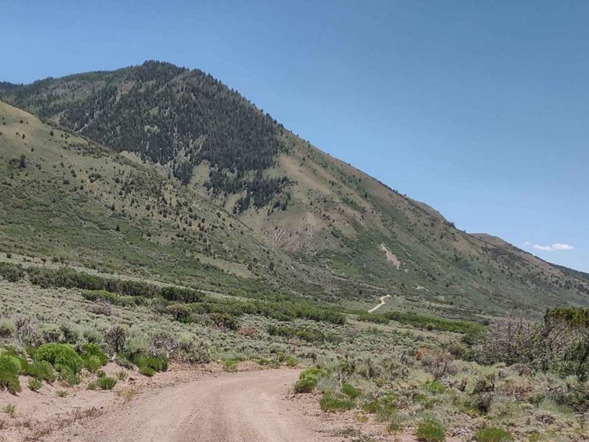
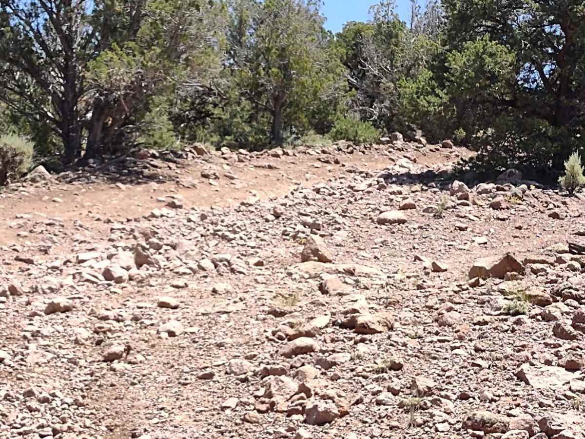
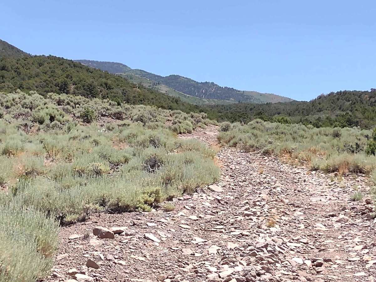
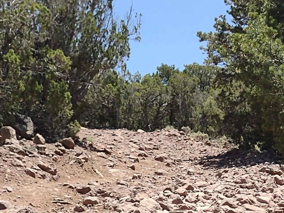
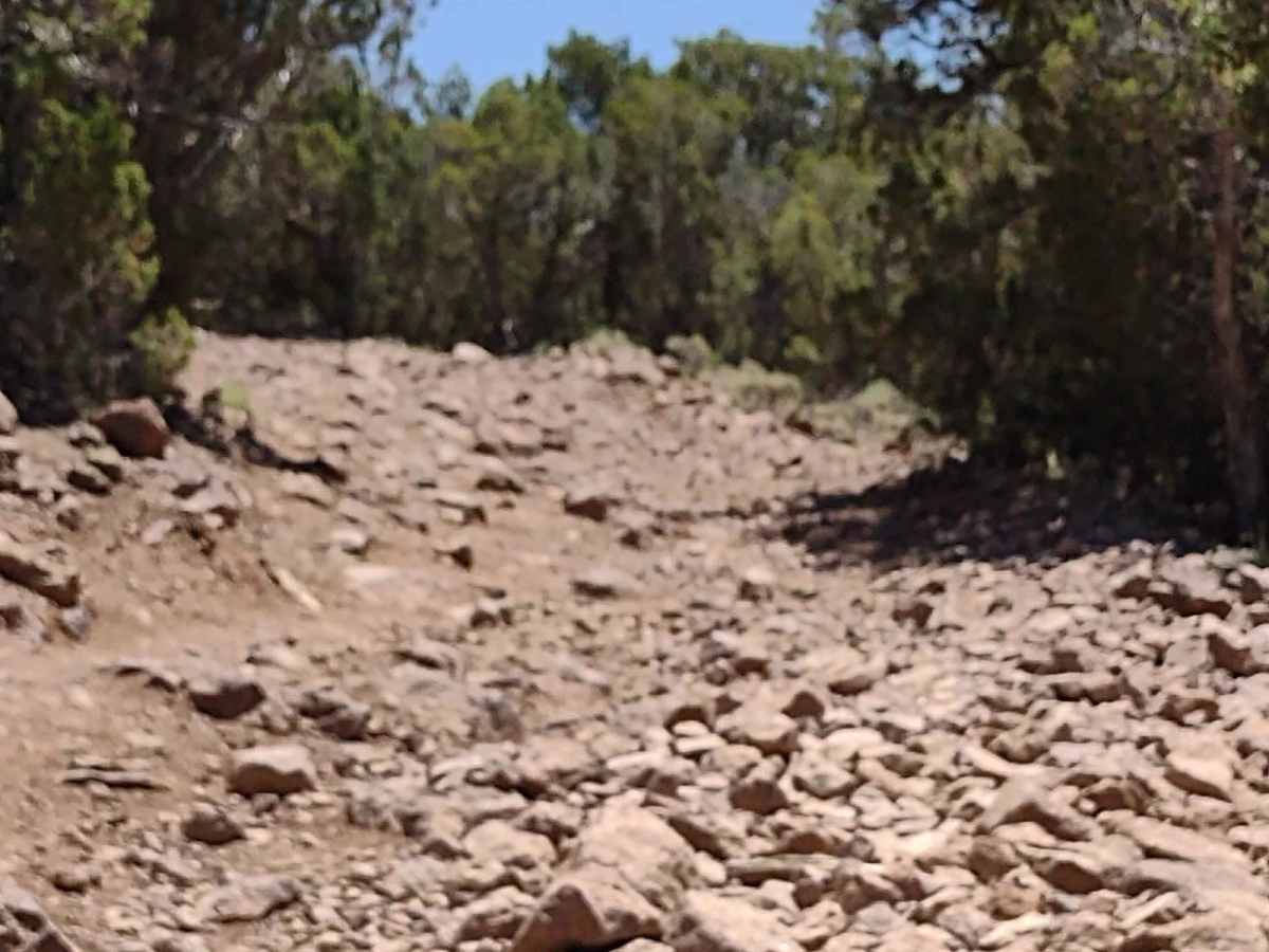
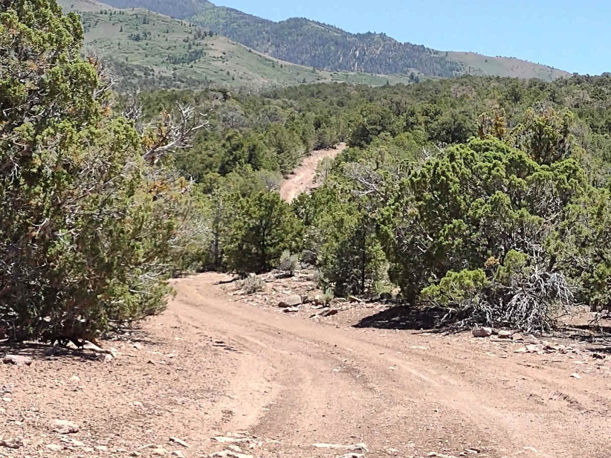
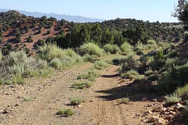
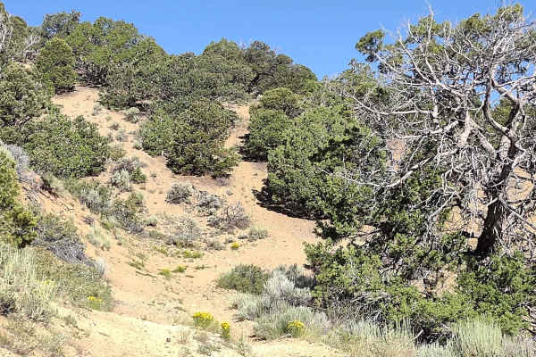
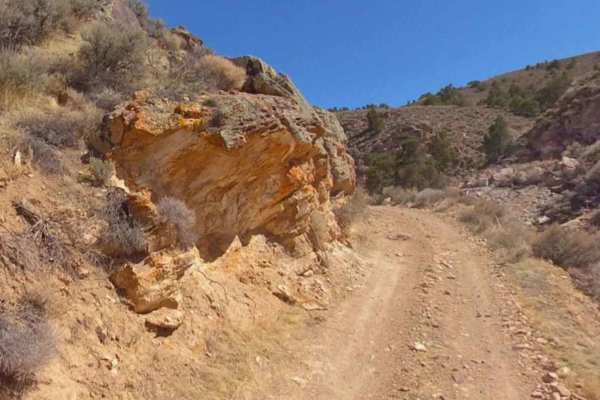
This steep, rocky trail goes from Poverty Flat up to the Fishlake National Forest where it joins FS# 40153, near Anderson Canyon. You gain over 1700 feet in elevation, topping out at 8156 feet. And it's rocky from top to bottom! With our 72" SXS in low gear it was no problem, but vehicles without a low gear, like the XYZ, will struggle on this climb. The rocks vary in size, but good ground clearance is required. There is little room to pass an oncoming vehicle on this trail, and then it's only in certain places. Many of the rocks are loose. In some sections, the trail shows signs of erosion from run-off. At the top the wildflowers are blooming, the cattle are fat and happy, and the views in every direction are spectacular. The cattle are kept in the area with a cattle guard, so no gates to open. Off-roaders in Utah need to have an online education course certificate as well as an OHV sticker.
Difficulty
This trail is a very steep incline, is very rocky, and many rocks are loose, with areas of erosion. If it's dry, it's not too bad if you've got good ground clearance and a low gear. If the trail is wet, it'd be sketchy.
History
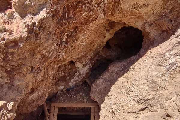
This area of Southern Utah is rich in mining history, as well as dairy and cattle ranching and a sawmill operation that operated on top of the Sevier Plateau. Henry Torgerson operated a sawmill near Monroe Peak from 1914 to 1939. The Brindley Dairy was in operation on the Sevier Plateau from 1891-1894. Old mining operations/sites can be found all over these mountains but most have no historical data.