Trail Overview
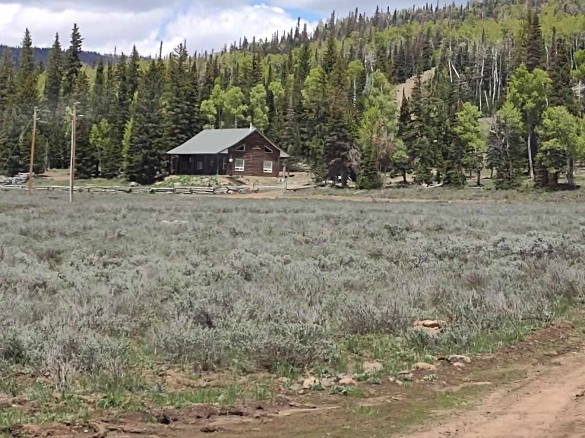
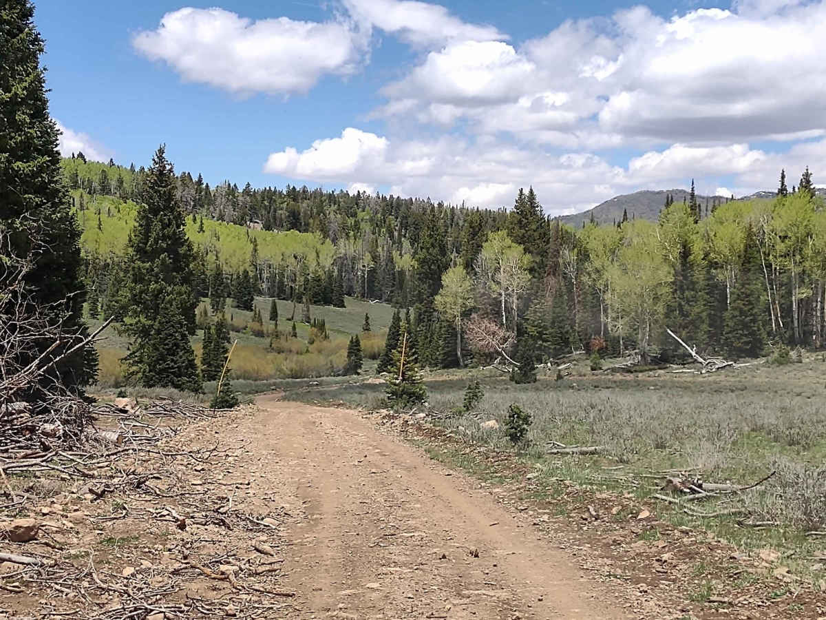
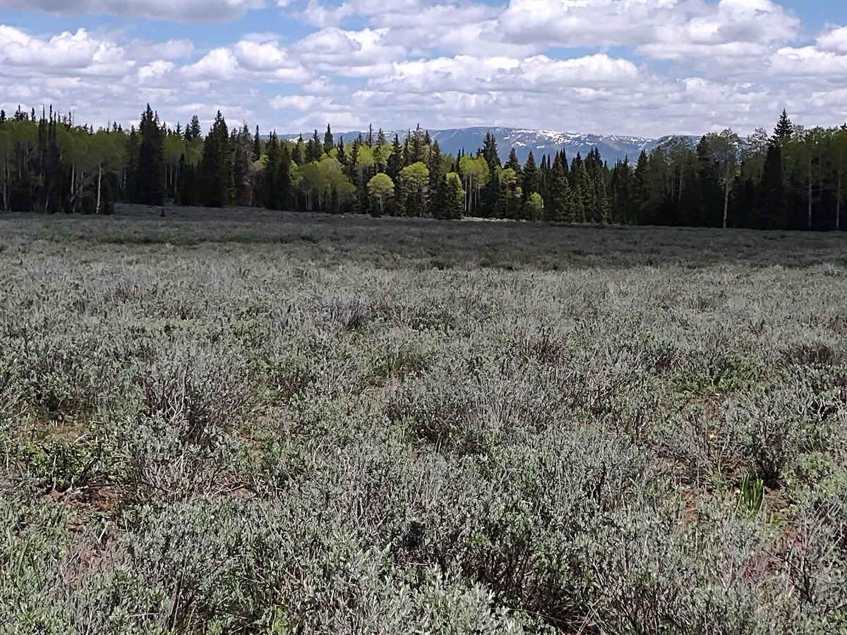
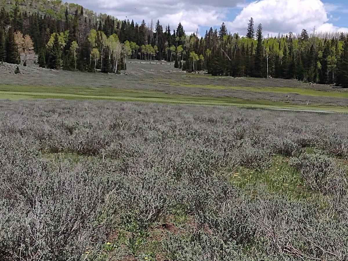
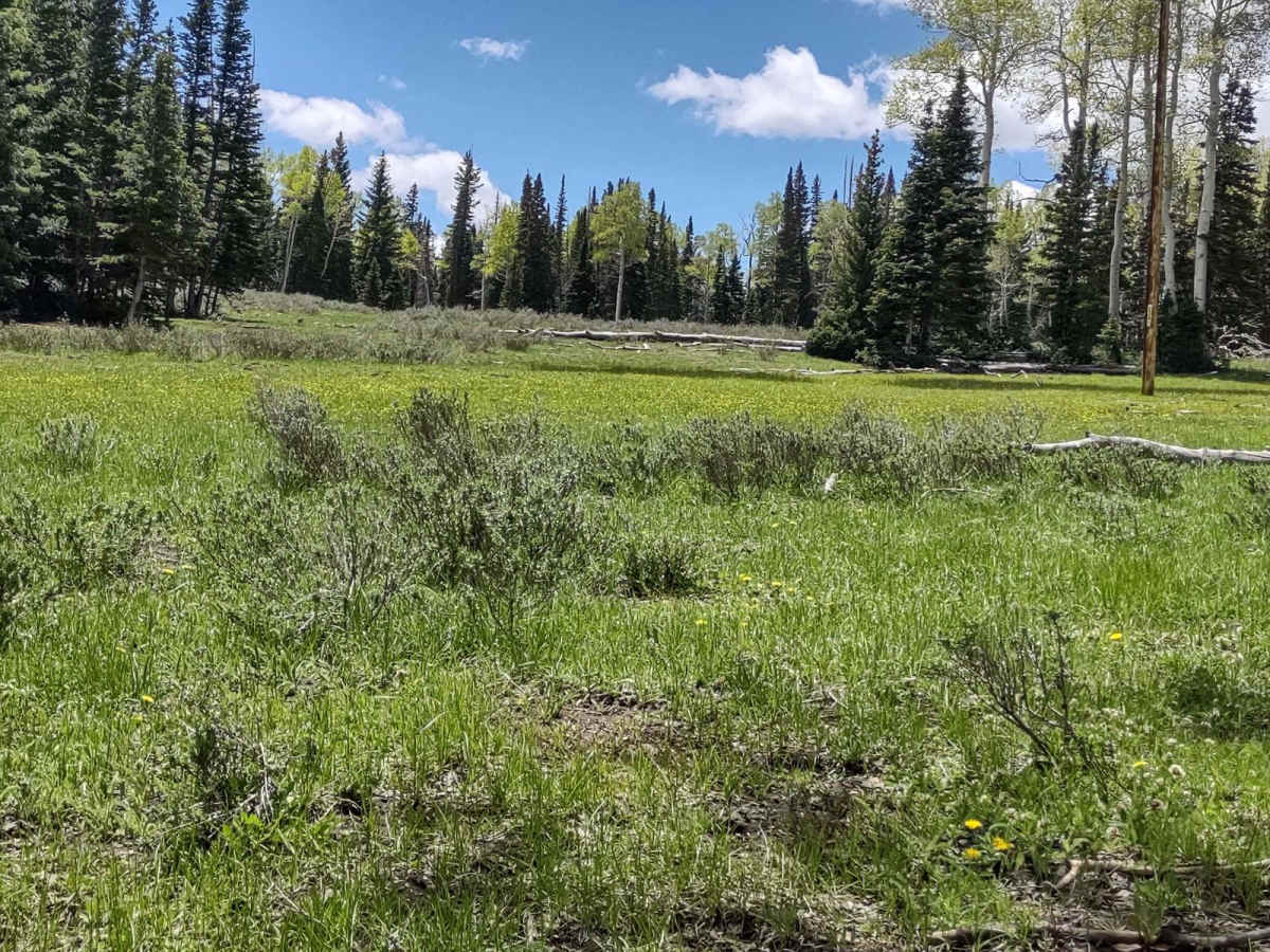
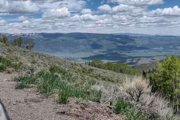
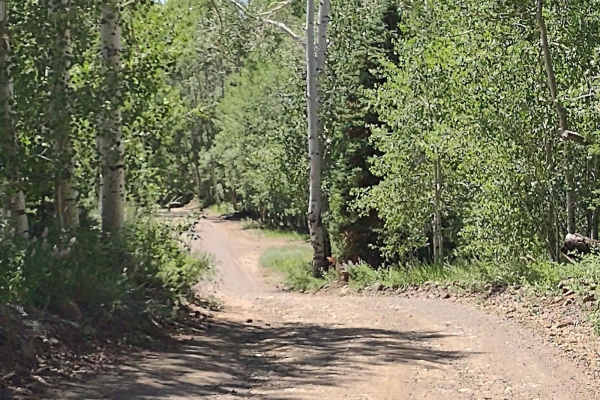
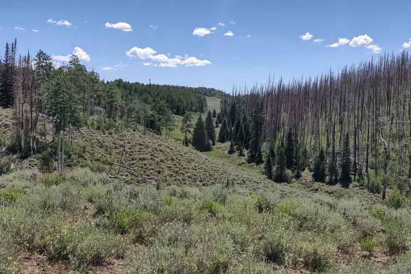
The Koosharem Pasture Road connects to the Koosharem Guard Station Road and linked together they're called Paiute Side Trail 44. They run across the top of the Sevier Plateau, rising to an elevation of just over 9800 feet. The north end of this track ends at the Forest Service Guard Station and the Koosharem Cabin is available to rent. Both of these buildings are on the Koosharem Ranger Station Road. This track does cross some private property boundaries, but there are no gates. The boundaries are controlled by cattle guards. On the west end, the trail goes between some private properties and then connects to the Paiute ATV Trail Barney Lake to Monroe Peak. Barney Lake to Monroe Peak is marked as a 50" trail, but these roads are the main access roads up on this part of the forest, and they're wide enough for larger vehicles. They're used by full-size pickups when the Forest Service personnel drive around up here, as well as the private property owners. It's used also by people towing their campers up here. You can go north or south off the west end of this track in a full-size vehicle, no problem. The trail moves through aspen and pine groves, through open meadows, and through sagebrush patches, too. The trail was mostly dry in the summertime, but there was still some snow on the north sides of trees in June. In places the trail has rocks, but they're not large and they are easy to navigate. There is evidence of a forest fire in this area sometime in the last several years. The new growth of aspen and pine trees is pretty well established. There are still a lot of downed trees from the fire, and there is evidence of the Forest Service gathering some downed timber into piles and burning it when they can. Kudos to the Forest Service personnel here in Utah who are doing what they can to clean up the forest. There are road markers along the trail with tall orange extensions, which indicate this trail is used as a snowmobile trail in the winter. Don't forget, to off-road in Utah you need to have the online education course certificate as well as an OHV sticker.
History
This area of Southern Utah is rich in mining history, as well as dairy and cattle ranching and a sawmill operation up here on top of the Sevier Plateau. The Brindley Dairy was in operation from 1891-1894. Henry Torgerson operated a sawmill near Monroe Peak from 1914 to 1939. Old mining operations/sites can be found all over these mountains but most have no historical data.