Beaver Creek Road
Total Miles
6.2
Technical Rating
Best Time
Spring, Summer, Fall
Trail Type
Full-Width Road
Accessible By
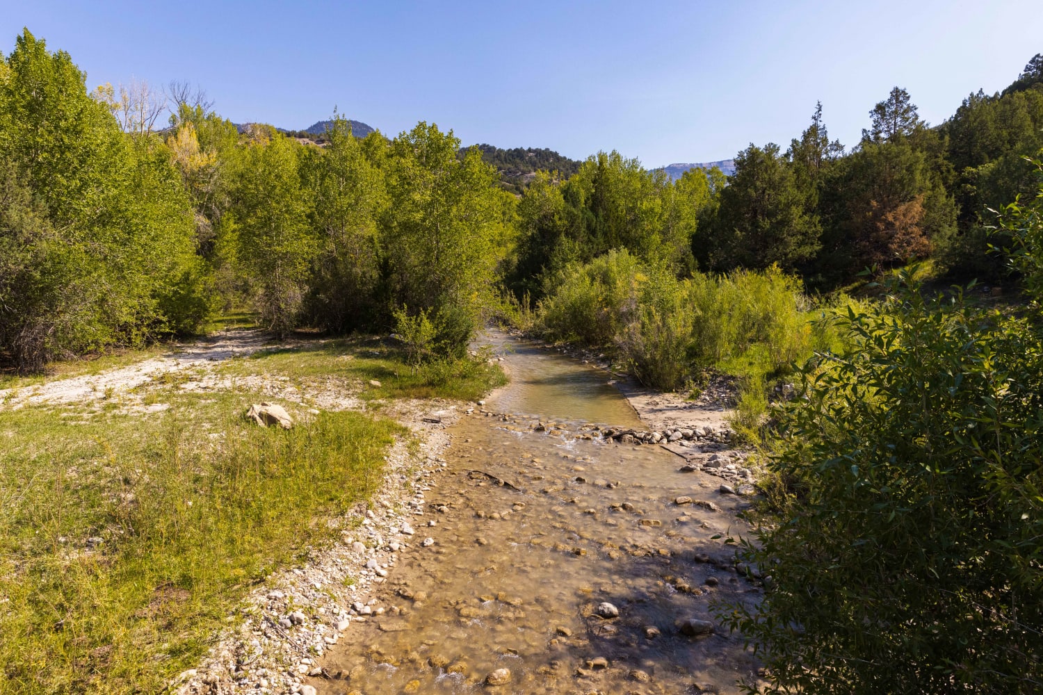
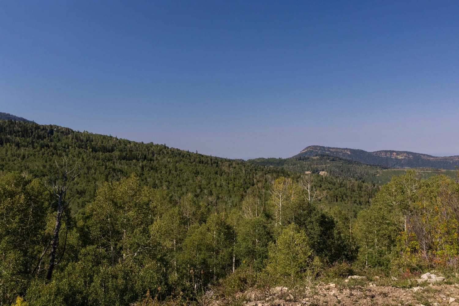
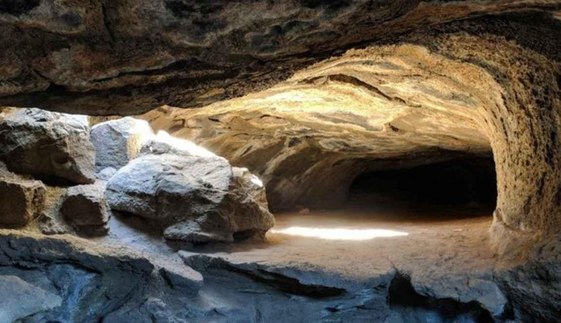
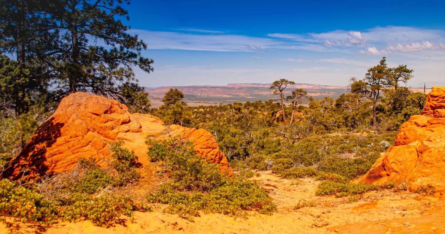
Trail Overview
The area is made up of several smaller trails and roads which traverse the scenic beauty of the Manti-LaSal National Forest. Beaver Creek road intertwines with several trails as it traverses East-West between the Mayfield-Gunnison road and Skyline Drive. Pine, Aspen, and Cedar trees cover the area along with many wildflowers, brush, and grasses. Wildlife can be viewed anywhere along this trail, especially during early mornings or later in the evening. Elk, Deer, Black Bear, wild turkey, and several other species inhabit the area.
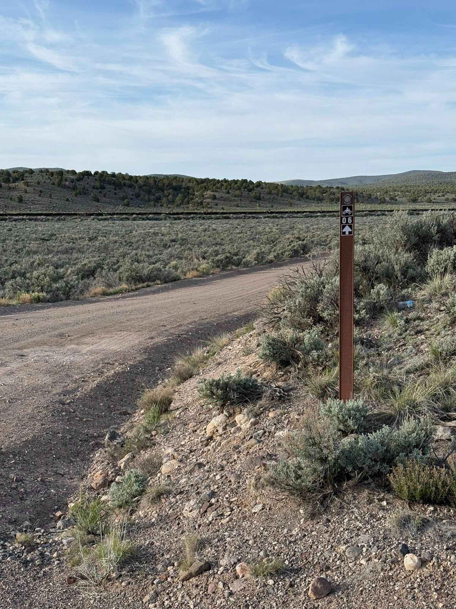
Photos of Beaver Creek Road
Difficulty
Very rocky, rutted and off-camber trail with erosion, loose rocks, washes, exposed tree roots and obstacles up to 1 foot tall, including ledges and short, steep grades. Potential for minimal water crossings.during inclement weather.
Status Reports
Beaver Creek Road can be accessed by the following ride types:
- High-Clearance 4x4
- SUV
- SxS (60")
- ATV (50")
- Dirt Bike
Beaver Creek Road Map
Popular Trails
Mammoth Cave Road

Lost Creek Rex Reservoir- FS 40053
Sand/Lamb Point Loop Road (BLM05)
Color Country North Hills Segment Trail 6
The onX Offroad Difference
onX Offroad combines trail photos, descriptions, difficulty ratings, width restrictions, seasonality, and more in a user-friendly interface. Available on all devices, with offline access and full compatibility with CarPlay and Android Auto. Discover what you’re missing today!