Sand/Lamb Point Loop Road (BLM05)
Total Miles
8.5
Technical Rating
Best Time
Spring, Summer, Fall, Winter
Trail Type
High-Clearance 4x4 Trail
Accessible By
Trail Overview
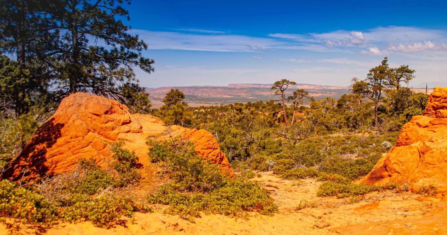
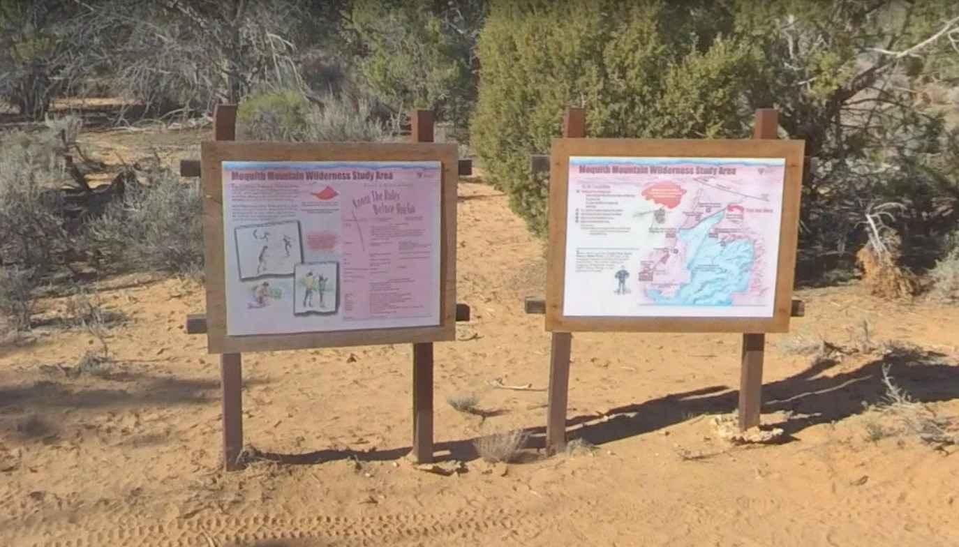
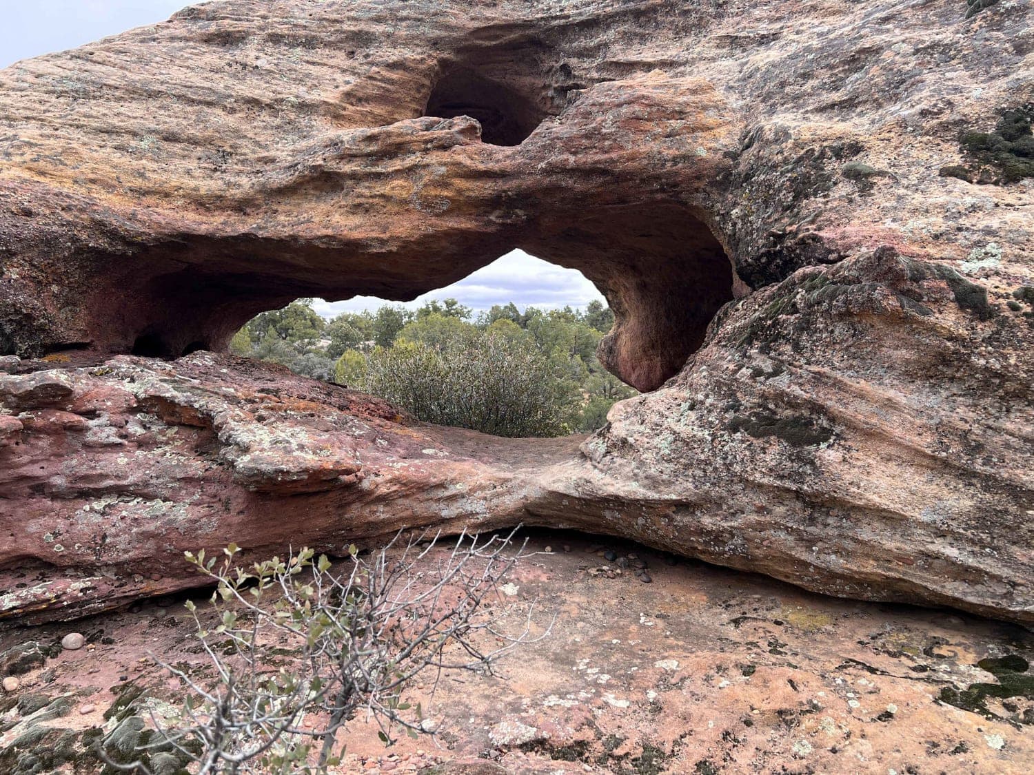
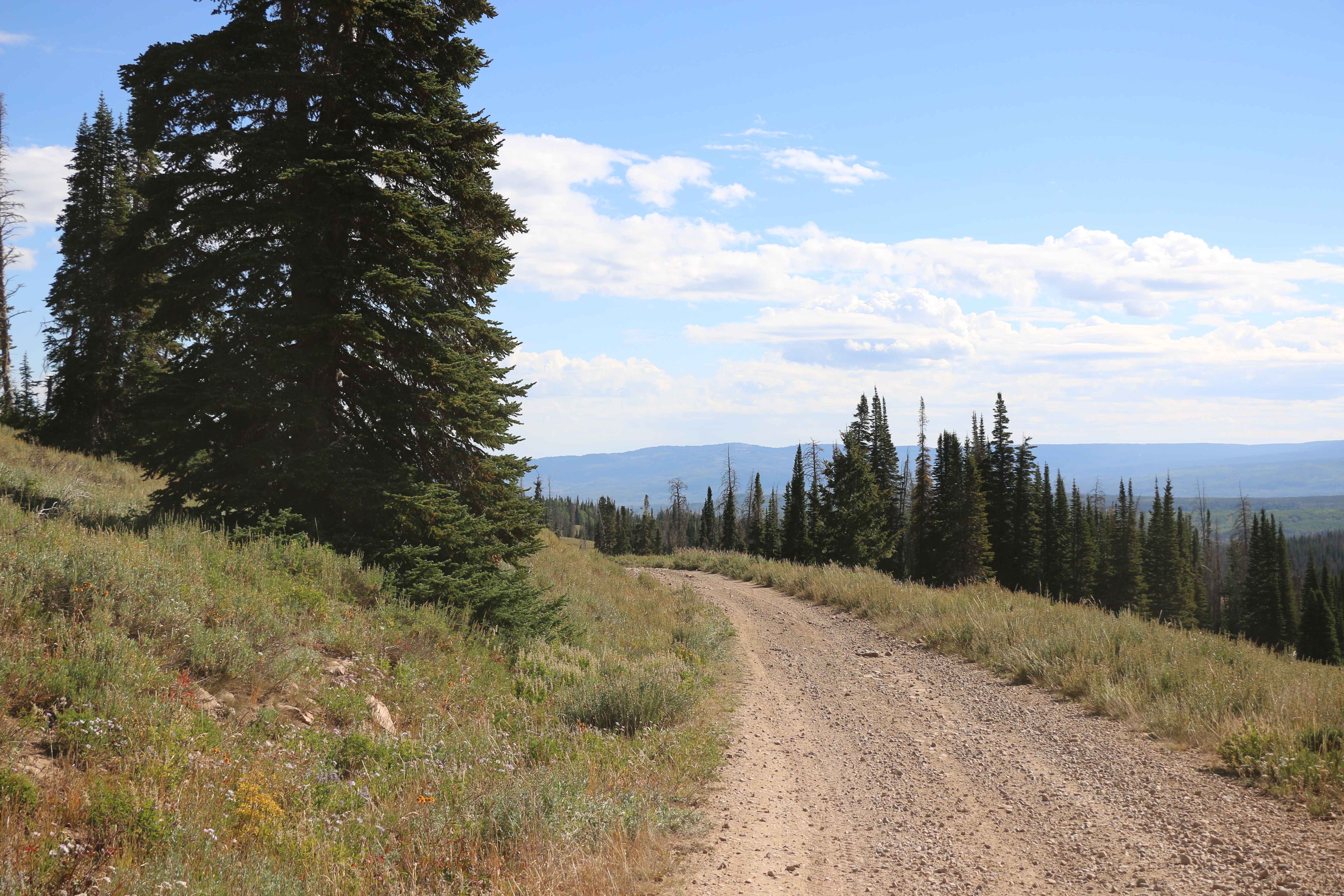
Sand/Lamb Point Loop Road-BLM051 is an 8.4-mile sand and slick rock trail rated 4 of 10. The last 2.2-miles of this trail which remains BLM052 is also known as Hell Dive Canyon Trail. This trail leads to a short destination hike to observe ancient native pictographs. The Hell Dive Canyon Pictographs are located within the Moquith Mountain Wilderness Study Area. Unique pictographs of a baby's foot and depictions of a family are protected beneath an overhanging alcove. Locals call this site Medicine Man Cave because of the many intriguing rock art pictographs and ceremonial symbols. Early natives may have used this area for food storage and preparation as evidenced by the many grinding locations, grooves, and storage pits. This cave may have been a place for women to have childbirth, hence the babies' feet and the fertility God Kokopelli painted on the walls. BLM051 consists of a sand track (sometimes deep) and multiple slick rock climbs. There are several overlooks that provide Vista views. At the end of BLM051, park and follow the hiking trail approximately one quarter mile east along the edge to the alcove which is visible from the end of BLM051. There are no barriers to prevent a person from walking right up to the ancient paintings. It is of the utmost importance that the area is not disturbed. Do not touch the delicate art, as the oil from our skin destroys the paintings. Do not camp or build fires in the alcove as the smoke will cause irreparable damage. This trail is suited to high clearance 4x4 vehicles and is not recommended for light-duty 4-wheel or all-wheel drive vehicles. This is a remote area and there are no services or cell phone coverage in the area. Take only pictures, and leave with memories.
Photos of Sand/Lamb Point Loop Road (BLM05)
Difficulty
The trail consists of loose rock, dirt, and sand with some slickrock surfaces. Some erosion; washes, gulches, and rock steps no higher than 18". Tall tires (33" plus) and a limited slip would be a plus. 4WD is required. Enhanced suspension travel and good ground clearance are helpful.
Status Reports
Sand/Lamb Point Loop Road (BLM05) can be accessed by the following ride types:
- High-Clearance 4x4
- SxS (60")
- ATV (50")
- Dirt Bike
Sand/Lamb Point Loop Road (BLM05) Map
Popular Trails
Ephraim Cyn Side Trail

Baldy Wheeler Road
Windmill Arch
Meadow Creek - FS 80071
The onX Offroad Difference
onX Offroad combines trail photos, descriptions, difficulty ratings, width restrictions, seasonality, and more in a user-friendly interface. Available on all devices, with offline access and full compatibility with CarPlay and Android Auto. Discover what you’re missing today!