Rocky Bluff
Total Miles
1.6
Technical Rating
Best Time
Fall, Spring, Winter
Trail Type
Single Track
Accessible By
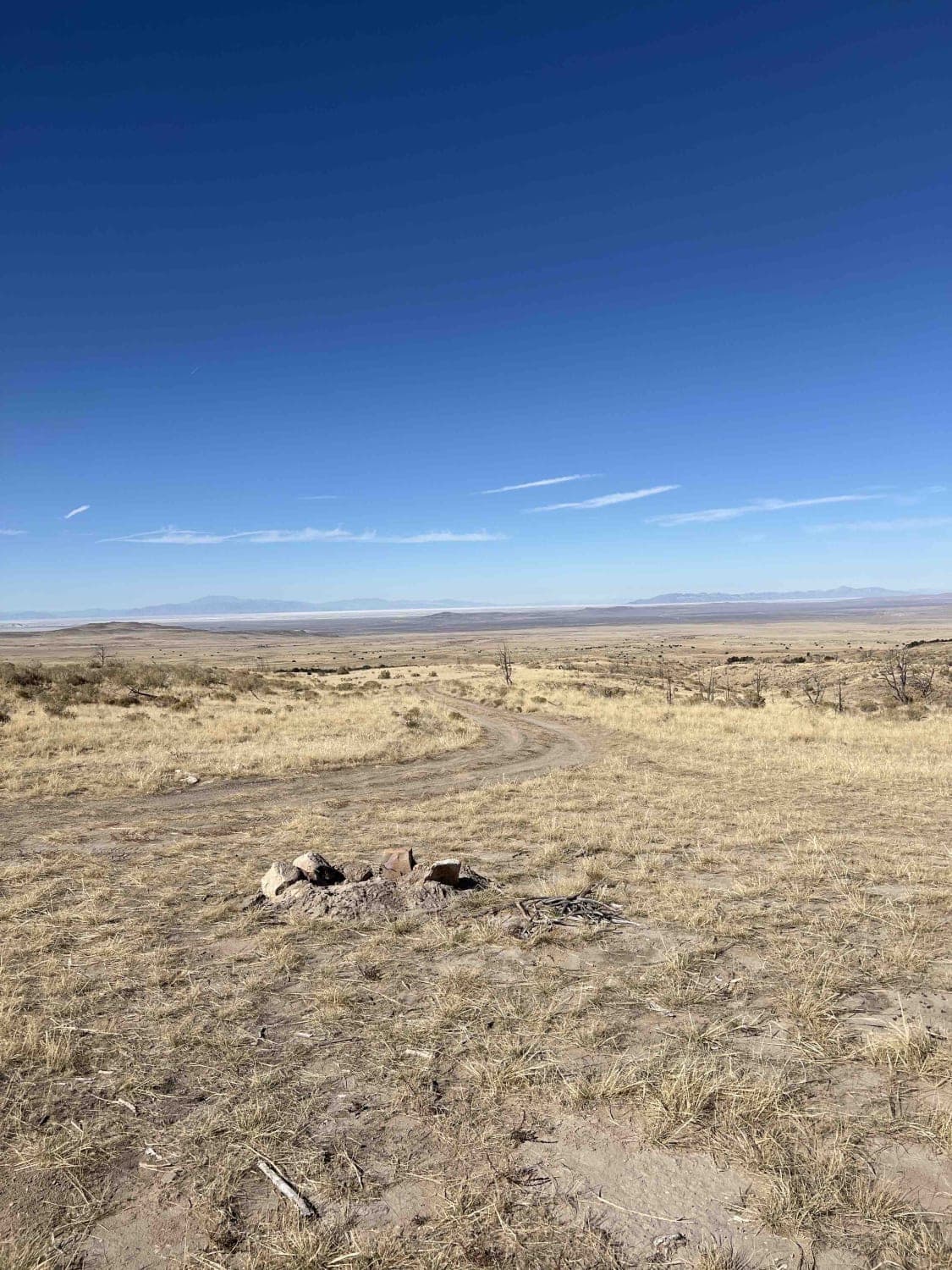
Trail Overview
This short desert single track is less than 2 miles long but is full of moderate rocky challenges and varying terrain. From the south, it starts climbing the rocky bluff and goes up some small rock ledges right away, then over slabs of slick rock between small juniper bushes. As you wind through the bluffs, the ground is made of chunky, uneven rock layers. It rides next to the mesa's rim and giant boulders. It winds down the mesa on a skinny single track. More challenging obstacles are scattered throughout this trail, such as up and down multiple rock stair steps, each about a foot tall. There is sometimes white paint on the slickrock to help follow the trail, but other sections will require some navigation, so having a map is helpful. Many sandy fast sections are flat and straight, but you must watch out for sudden big dips and whoops. Near the north end, it goes down a long ramped slickrock section before ending at an intersection with another single track.
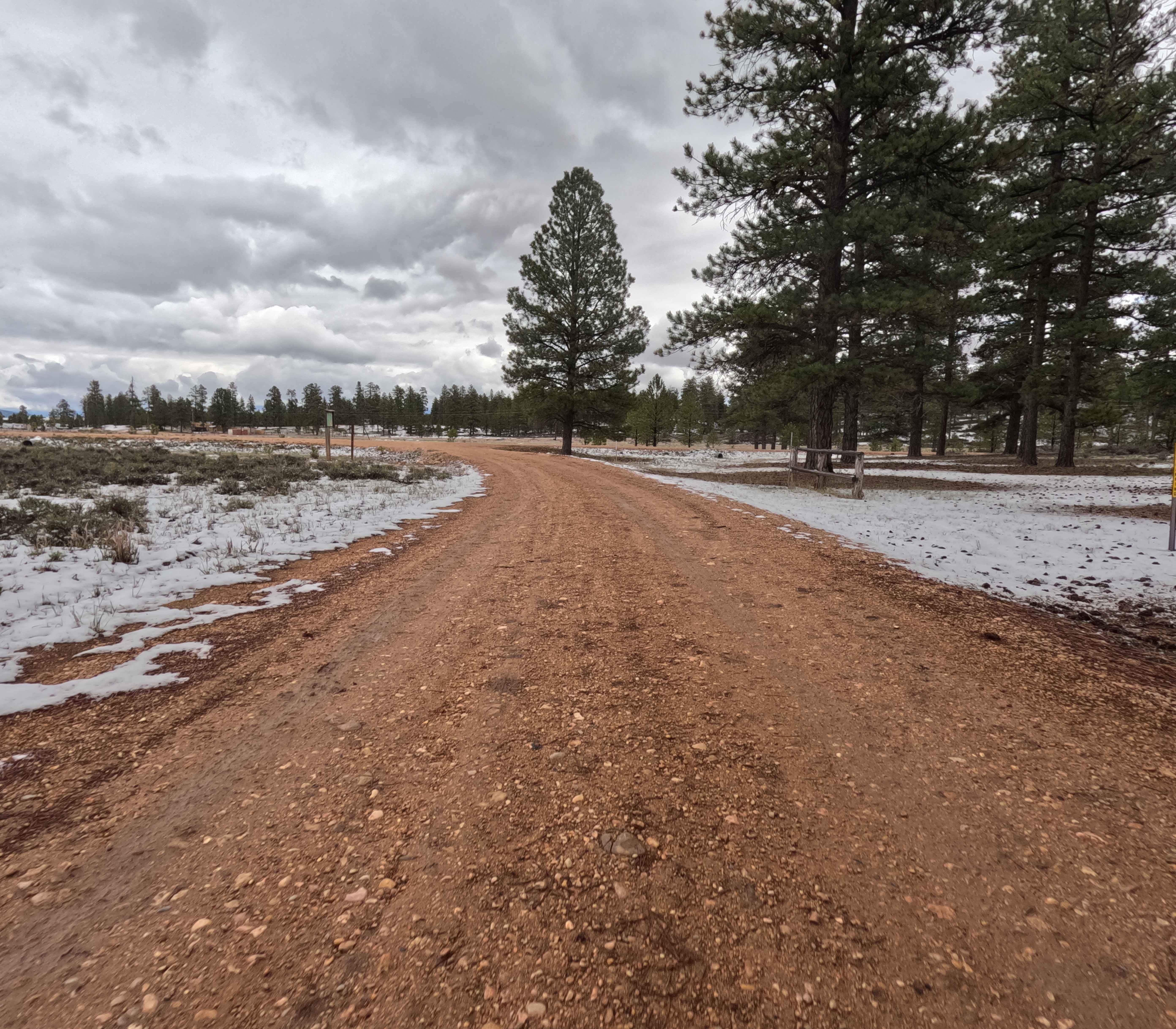
Photos of Rocky Bluff


Difficulty
This is an intermediate single track that has several rock ledge obstacles over a foot tall that will be a good challenge for average or newer riders.
Status Reports
Rocky Bluff can be accessed by the following ride types:
- Dirt Bike
Rocky Bluff Map
Popular Trails

VCA Mine Road
West Cedar Mountain Route 4

Clear Lake Road
The onX Offroad Difference
onX Offroad combines trail photos, descriptions, difficulty ratings, width restrictions, seasonality, and more in a user-friendly interface. Available on all devices, with offline access and full compatibility with CarPlay and Android Auto. Discover what you’re missing today!