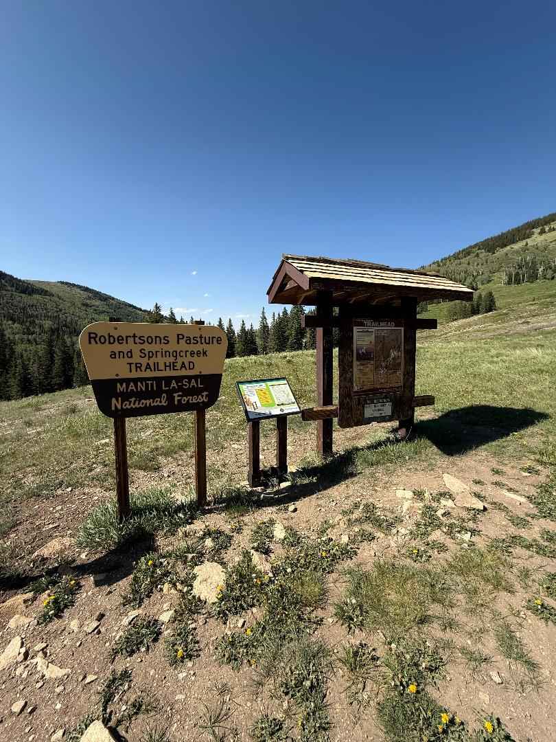
Robertson Pasture Trail No. 020
Total Miles
7.5
Technical Rating
Best Time
Summer, Fall
Trail Type
Single Track
Accessible By
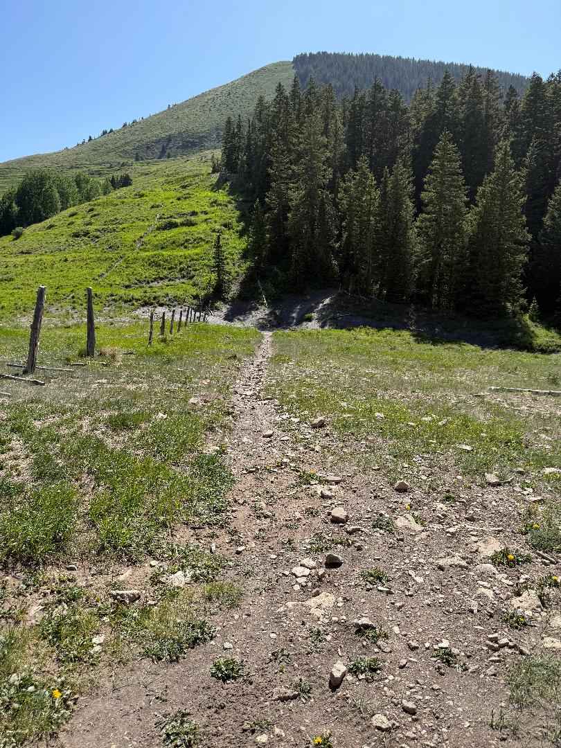
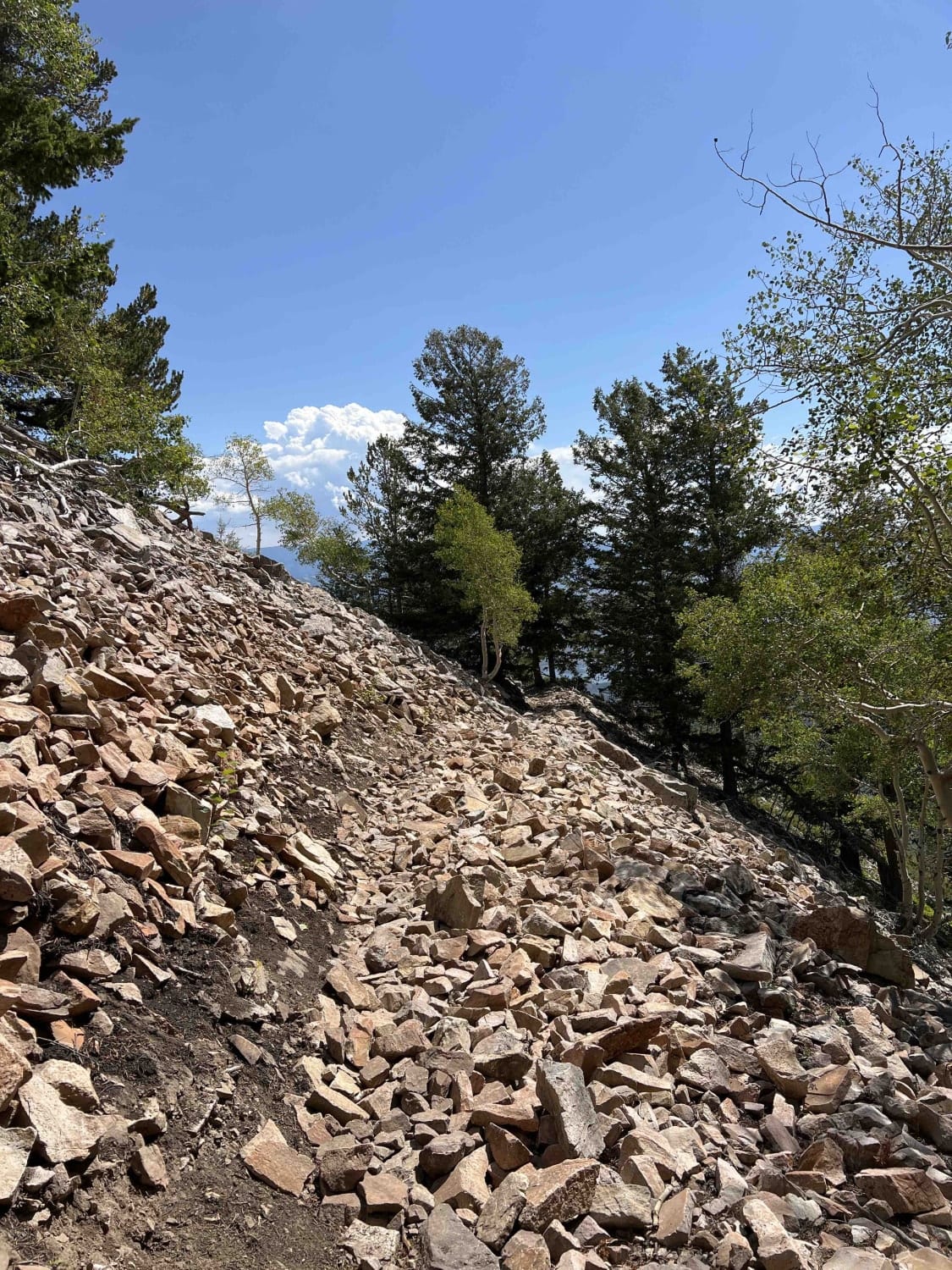
Trail Overview
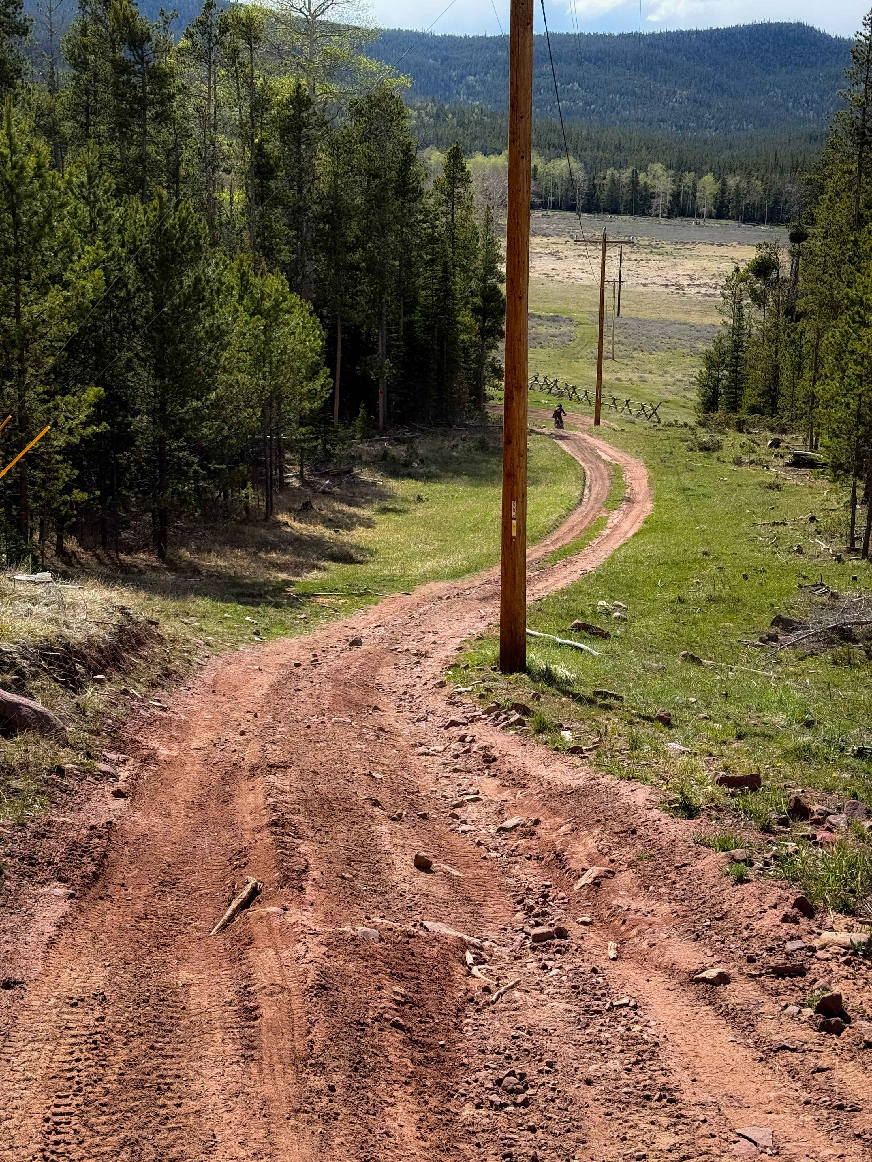
The Robertson Pasture singletrack trail traverses 7.4 miles through the lush pine, fir, and aspen forests of the Abajo Mountains--also known as the Blue Mountains. The trail begins at its southern trailhead off Indian Creek Road (FR 50079) and ends just past Foy Lake (Spring Lake) on FR 55389 to the north. Starting at an elevation of 10,016 feet, the trail climbs steeply to 10,524 feet within the first mile. The southern section features demanding terrain with steep ascents and descents, while the northern end is equally rugged and technical. Riders will encounter multiple dry streambeds and numerous off-camber switchbacks, offering thrilling climbs and descents alongside stunning mountain views. Rock gardens appear throughout the trail but are manageable with steady momentum. Riders can create various loops by connecting to nearby trails, including Red Ledges #019, Red Ledges Access #160, Aspen Flat #018, Spring Creek #159, and Shay Ridge #162--using Indian Creek Road (FR 50079) as the main connector. Please be respectful of private property and ensure that gates are left as you found them. This area is sensitive and closely monitored, so it's important to stay on designated trails. Note that bike and motorcycle access is restricted from October 1 to May 1.
Photos of Robertson Pasture Trail No. 020
Difficulty
Very rocky, rutted and off-camber trail with erosion, loose rocks, and dry washes.
Status Reports
Robertson Pasture Trail No. 020 can be accessed by the following ride types:
- Dirt Bike
Robertson Pasture Trail No. 020 Map
Popular Trails

Racetrack (FR 70514)
Dinosaur Tracks Loop
East Ridge (2038)
Grizzly Ridge North Spur #15
The onX Offroad Difference
onX Offroad combines trail photos, descriptions, difficulty ratings, width restrictions, seasonality, and more in a user-friendly interface. Available on all devices, with offline access and full compatibility with CarPlay and Android Auto. Discover what you’re missing today!