2 trails found in Utah
Which "richfield pioneer road" are you looking for?
We found 2 off-road trails in Utah matching your search. Pick the one you're looking for below.
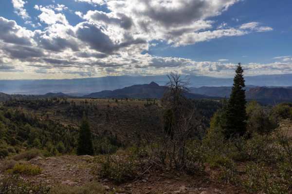
Richfield-Pioneer Road
The north end is accessed via Willow Creek Canyon Road and follows along the top of the Tushar Mountain Range. The area has several meadows, large Pine Trees, red rock outcroppings, and views of the Sevier, Sanpete, and Millard County Valleys. Many different species of wildlife can be viewed along t...
Learn more about Richfield-Pioneer Road
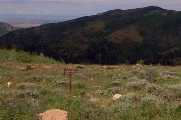
Richfield Pioneer Road North
Richfield Pioneer Road North is an 11.9-mile (23.8-mile round trip) out-and-back trail rated 3 of 10 located in Millard County. The trail is located within the Fishlake National Forest, Fillmore Ranger District. This trail is also marked as Paiute Side Trail #96 and is popular with the ATV/UTV crowd...
Learn more about Richfield Pioneer Road North