South Fork Greenwich Creek
Total Miles
1.7
Technical Rating
Best Time
Spring, Summer, Fall
Trail Type
High-Clearance 4x4 Trail
Accessible By
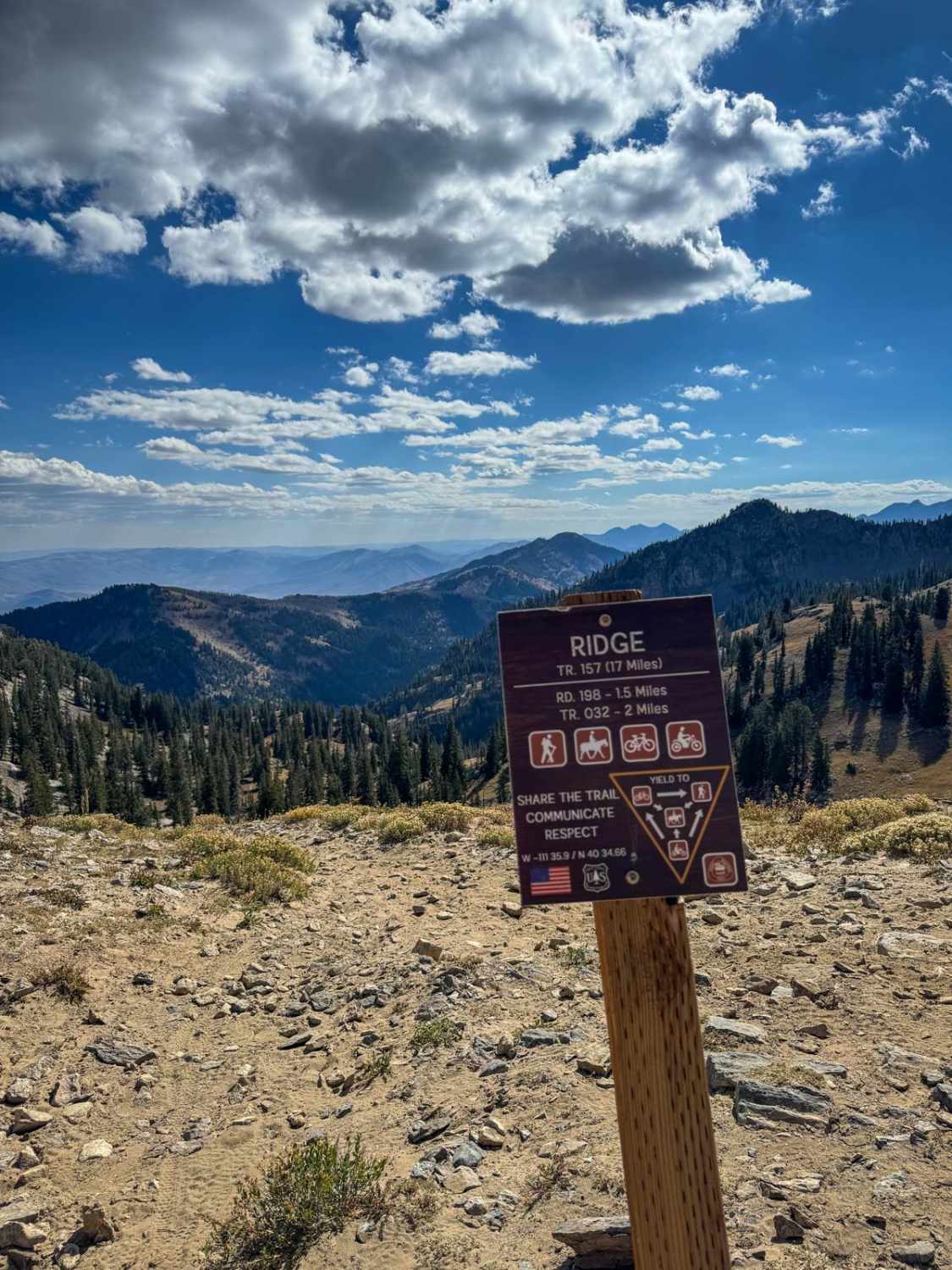
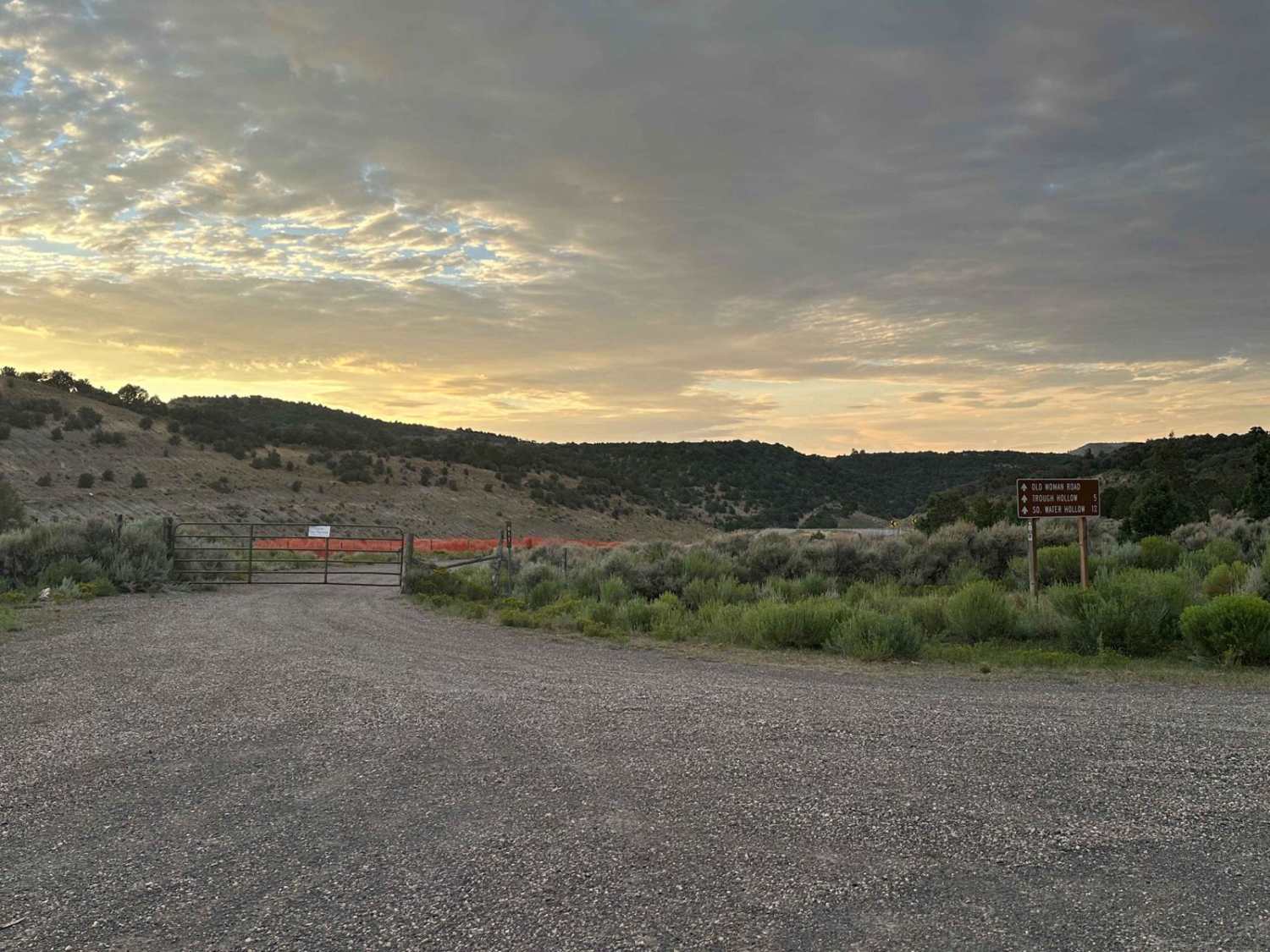
Trail Overview
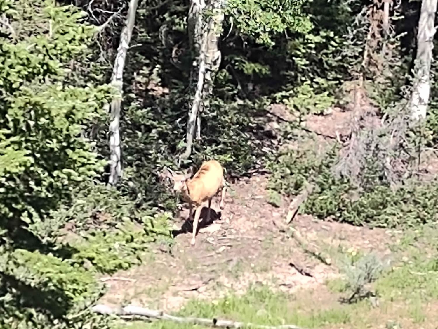
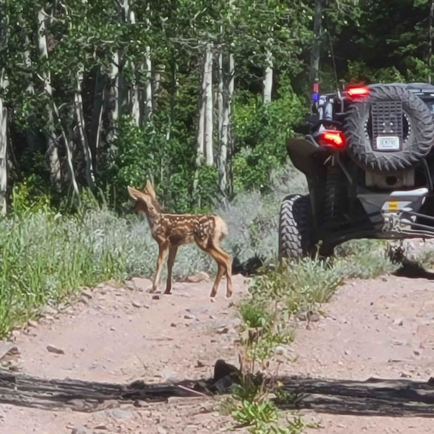
South Fork Greenwich Creek is a full-size trail that runs north/south between Greenwich Canyon Road and Koosharem Pasture Road/Guard Station. It's an easy dirt trail. We found a bit of mud in early July, but mostly just from nearby springs that run across the trail. You climb from 8791 feet on the south end to over 9330 feet at Koosharem Pasture Road. There is one place where the creek crosses the trail, but by July, it was easy. You move through some tall pine tree groves, as well as through sagebrush and aspen trees. The trail is rocky in some areas, but the rocks do not exceed 12", and the inclines aren't steep enough to be challenging. There is evidence of a fire in this area several years ago, and you can see places where the Forest Service is piling up the dead trees and burning them. The new growth of aspens, pines, and shrubs is well underway. Because of the creek running parallel to the trail, this is a good place for wildlife viewing. We saw a doe and two fawns when we were here. The grass and water in this area are plentiful. Near the north end of the trail, you break out into an open sagebrush meadow where the wildflowers are spectacular. Remember, to off-road in Utah, you need the online education course certificate and an OHV sticker.
Photos of South Fork Greenwich Creek
Difficulty
Expect mud after a heavy rain or early in the spring is the only obstacle.
History
This area of Southern Utah is rich in mining history, as well as dairy and cattle ranching and a sawmill operation up here on top of the Sevier Plateau. The Brindley Dairy was in operation from 1891-1894. Henry Torgerson operated a sawmill over near Monroe Peak from 1914 to 1939. Old mining operations/sites can be found all over these mountains but most have no historical data.
Status Reports
South Fork Greenwich Creek can be accessed by the following ride types:
- High-Clearance 4x4
- SxS (60")
- ATV (50")
- Dirt Bike
South Fork Greenwich Creek Map
Popular Trails
Gould's Rim Wanderings
Hell Roaring Rim
The onX Offroad Difference
onX Offroad combines trail photos, descriptions, difficulty ratings, width restrictions, seasonality, and more in a user-friendly interface. Available on all devices, with offline access and full compatibility with CarPlay and Android Auto. Discover what you’re missing today!