Off-Road Trails in Utah
Discover off-road trails in Utah
Learn more about Swing Arm City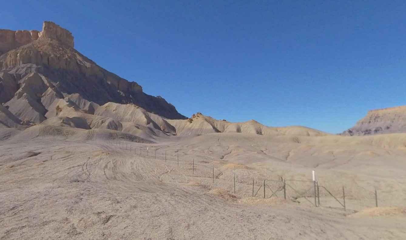
Swing Arm City
Total Miles
7.7
Tech Rating
Easy
Best Time
Spring, Summer, Fall, Winter
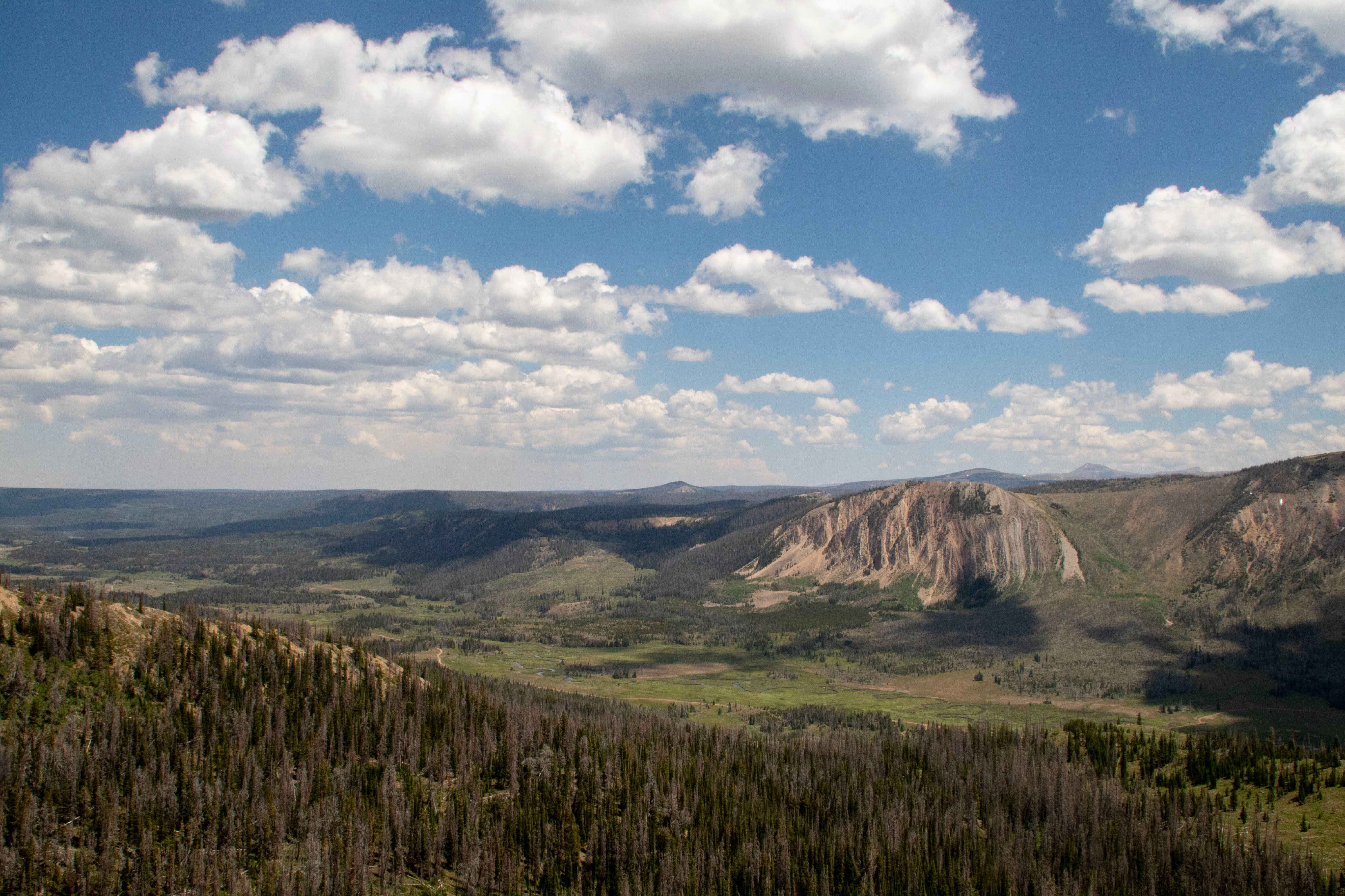
Learn more about Tabby Mountain Loop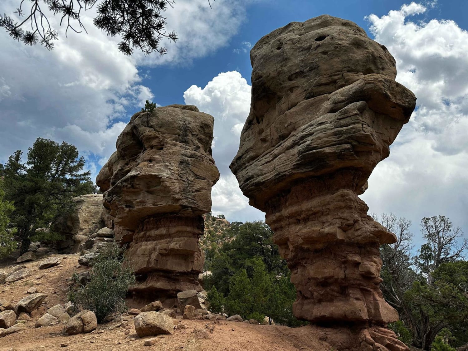
Tabby Mountain Loop
Total Miles
40.3
Tech Rating
Moderate
Best Time
Summer, Fall
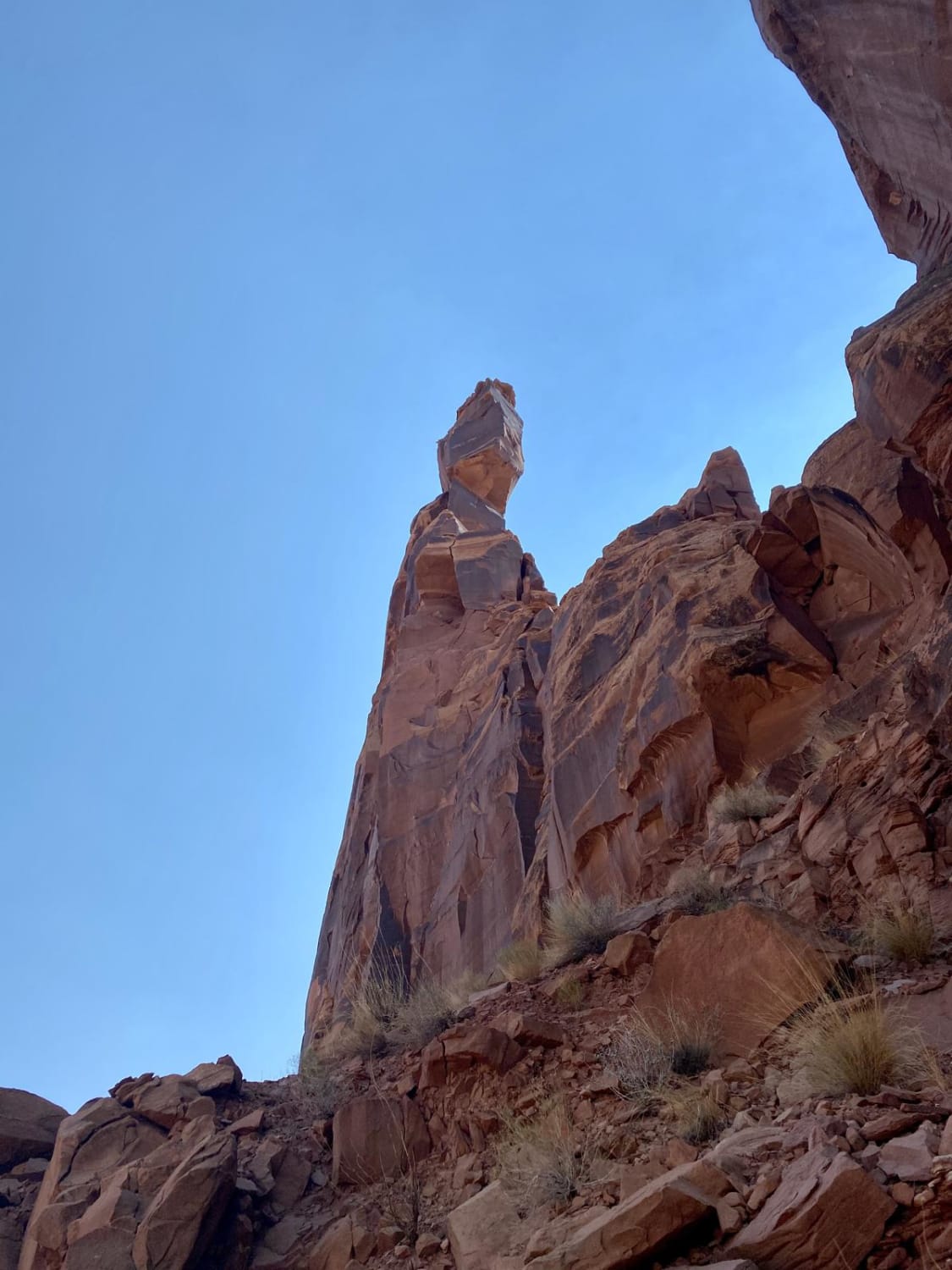
Learn more about Tabby's Canyon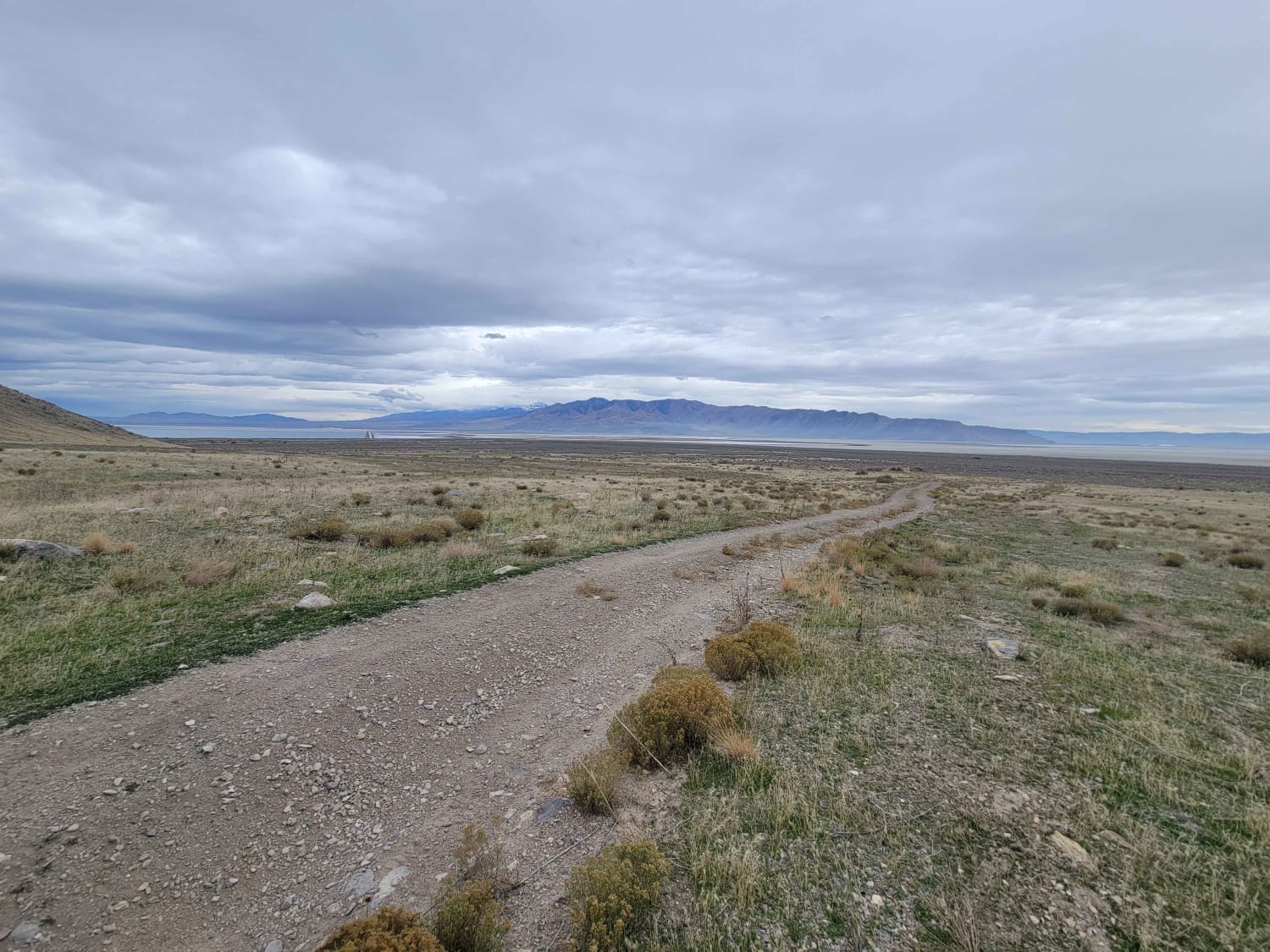
Tabby's Canyon
Total Miles
1.7
Tech Rating
Moderate
Best Time
Spring, Summer, Fall
Learn more about Tantalus Flat - NF30168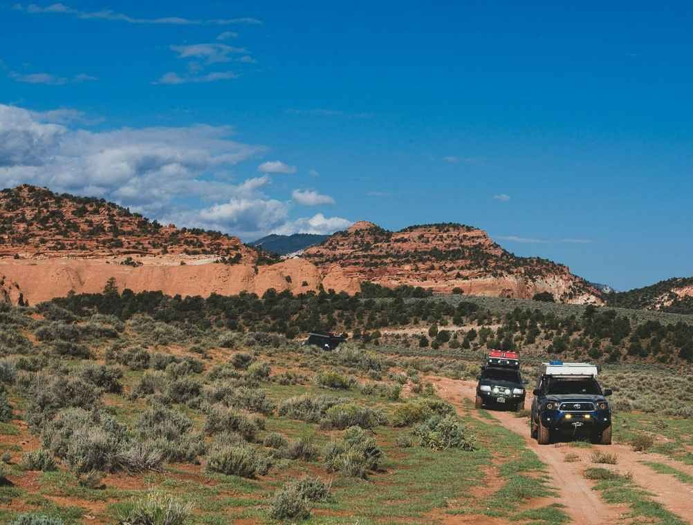
Tantalus Flat - NF30168
Total Miles
10.4
Tech Rating
Easy
Best Time
Spring, Summer, Fall
Learn more about Teah Flat Road
Teah Flat Road
Total Miles
5.5
Tech Rating
Easy
Best Time
Spring, Summer, Fall
Learn more about Teah Flat Trail
Teah Flat Trail
Total Miles
2.3
Tech Rating
Moderate
Best Time
Spring, Summer, Fall
Learn more about Teapot Canyon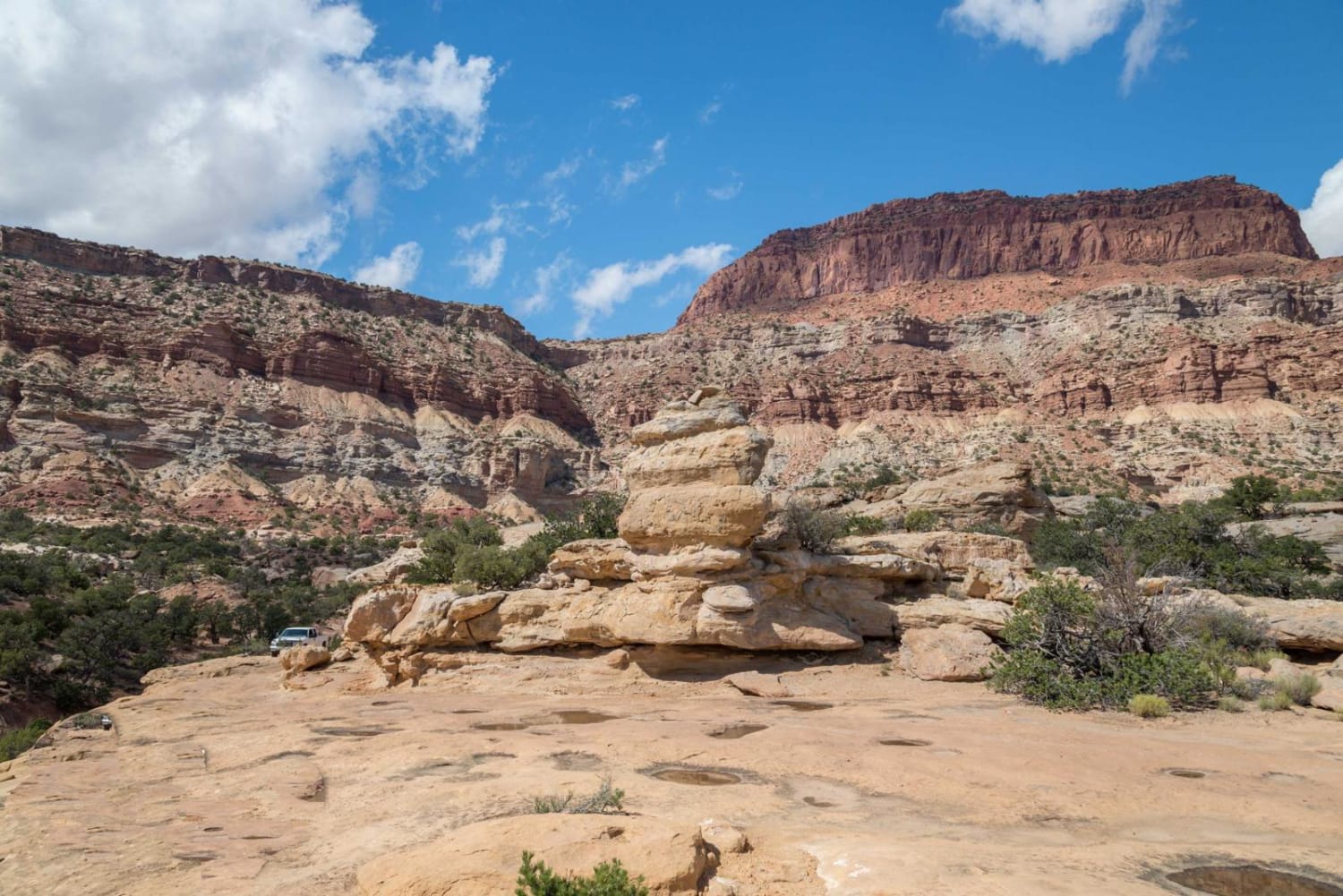
Teapot Canyon
Total Miles
13.2
Tech Rating
Difficult
Best Time
Spring, Summer, Fall, Winter
Learn more about Teat Mountain ATV #202 
Teat Mountain ATV #202
Total Miles
3.2
Tech Rating
Moderate
Best Time
Spring, Summer, Fall
Learn more about Tebbs Hollow/Sandy Creek - FS 2900, 3200.1.19
Tebbs Hollow/Sandy Creek - FS 2900, 3200.1.19
Total Miles
14.7
Tech Rating
Easy
Best Time
Spring, Fall, Summer
Learn more about Temple Fork and Old Ephraim's Grave
Temple Fork and Old Ephraim's Grave
Total Miles
7.7
Tech Rating
Easy
Best Time
Winter, Spring
Learn more about Temple Junction - BLM 1012
Temple Junction - BLM 1012
Total Miles
10.0
Tech Rating
Easy
Best Time
Spring, Summer, Fall, Winter
Learn more about Temple Mountain
Temple Mountain
Total Miles
1.7
Tech Rating
Moderate
Best Time
Spring, Summer, Fall, Winter
Learn more about Temple Mountain Road
Temple Mountain Road
Total Miles
13.7
Tech Rating
Easy
Best Time
Fall
Learn more about Ten Mile Point Road
Ten Mile Point Road
Total Miles
4.3
Tech Rating
Easy
Best Time
Spring, Summer, Fall, Winter
Learn more about Ten Mile Road
Ten Mile Road
Total Miles
9.9
Tech Rating
Easy
Best Time
Spring, Summer, Fall, Winter
Learn more about Tenmile Creek Trail
Tenmile Creek Trail
Total Miles
4.7
Tech Rating
Easy
Best Time
Summer, Fall
ATV trails in Utah

Learn more about 14 Mile Road
14 Mile Road
Total Miles
14.7
Tech Rating
Easy
Best Time
Spring, Summer, Fall, Winter


UTV/side-by-side trails in Utah
Learn more about 14 Mile Road
14 Mile Road
Total Miles
14.7
Tech Rating
Easy
Best Time
Spring, Summer, Fall, Winter
The onX Offroad Difference
onX Offroad combines trail photos, descriptions, difficulty ratings, width restrictions, seasonality, and more in a user-friendly interface. Available on all devices, with offline access and full compatibility with CarPlay and Android Auto. Discover what you’re missing today!