Tantalus Flat - NF30168
Total Miles
10.4
Technical Rating
Best Time
Spring, Summer, Fall
Trail Type
Full-Width Road
Accessible By
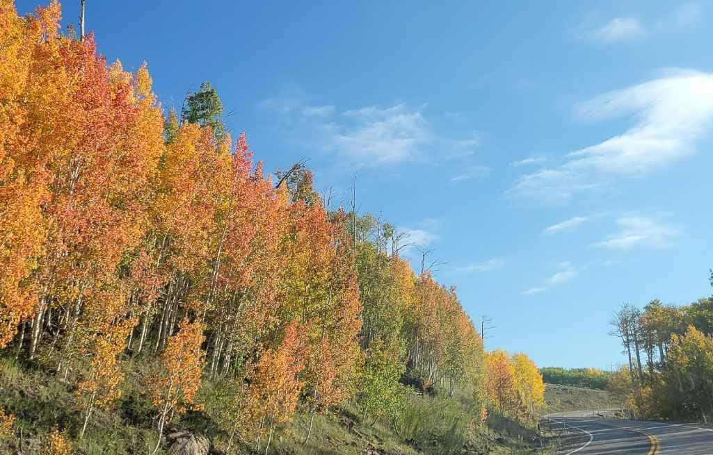
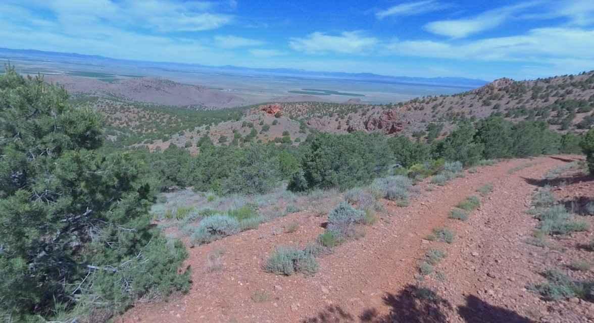
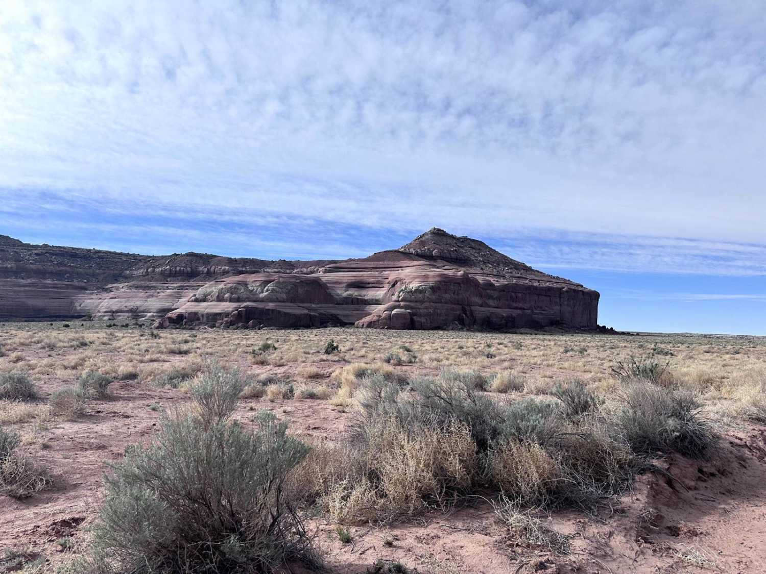
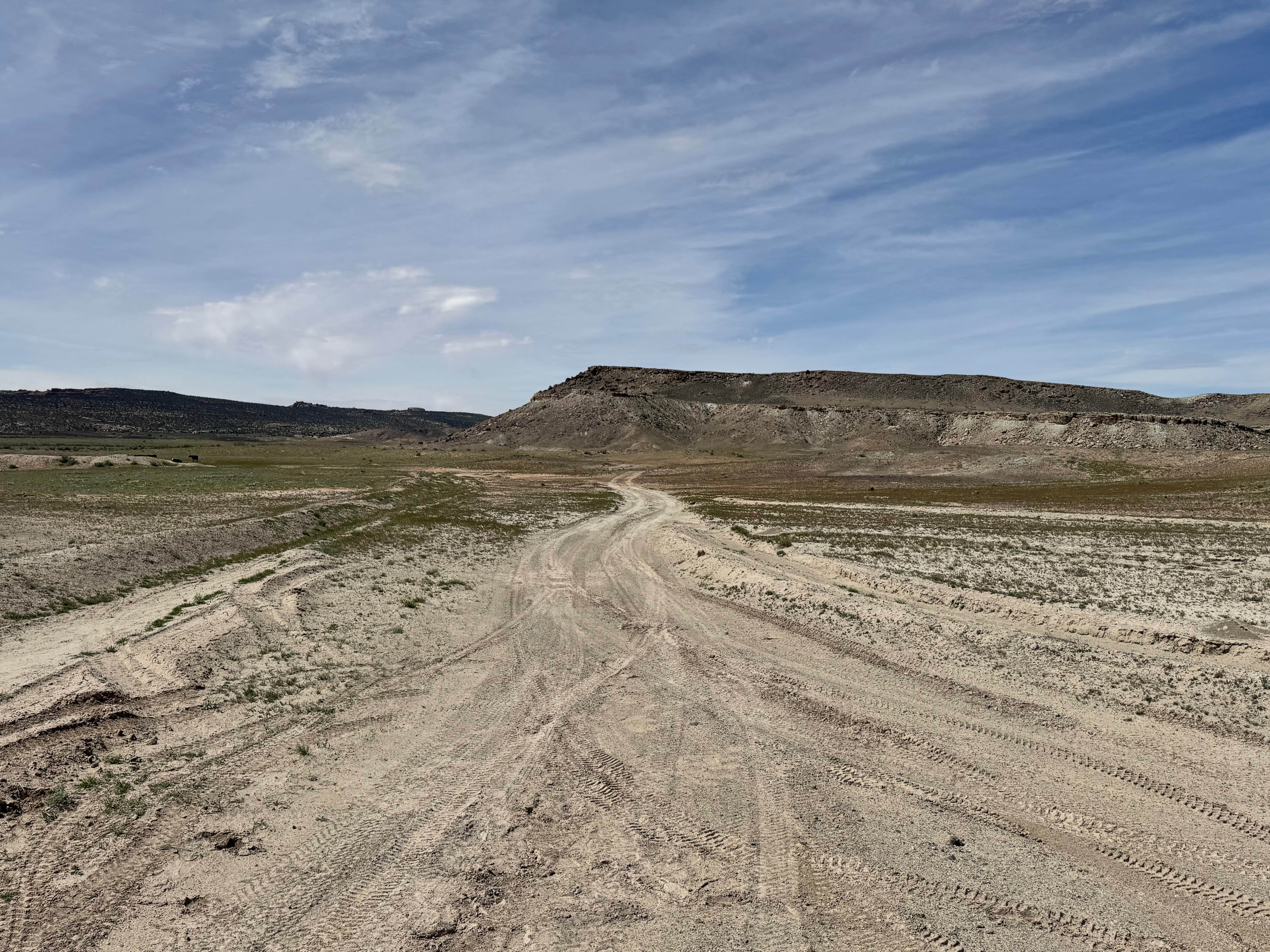
Trail Overview
Fun mixed terrain route accessing Lower Browns Reservoir, Jorgensen Flat, Tantalus Flats, Laurel and Hardy Arch, and the Western back-door access point of Capitol Reef National Park. This route starts out as a graded gravel Forest Service road that begins to denigrate into a bumpy dirt two-track as it passes through Tantalus Flats. Once crossing into the national park and onto South Draw Road, the road turns much more rugged, and a high clearance vehicle is needed. Much of that portion of the route either crosses or runs in a dry creekbed. Do not go further than the Pleasant Creek crossing ahead of Tantalus Flats during wet weather.
Photos of Tantalus Flat - NF30168

Difficulty
Easy dirt road
Status Reports
Tantalus Flat - NF30168 can be accessed by the following ride types:
- High-Clearance 4x4
- SUV
- SxS (60")
- ATV (50")
- Dirt Bike
Tantalus Flat - NF30168 Map
Popular Trails
Bullion Peak Loop
Levi Well Road (CR372)
Salt Valley Gorge Connector East
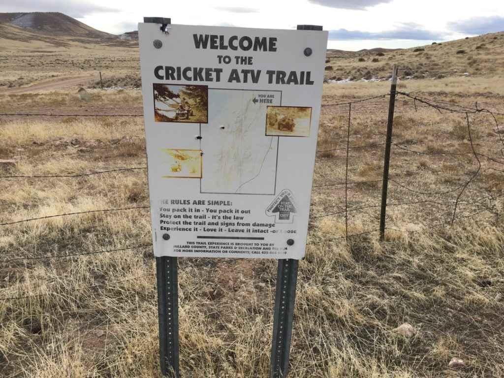
Cricket Mountain OHV Route 6
The onX Offroad Difference
onX Offroad combines trail photos, descriptions, difficulty ratings, width restrictions, seasonality, and more in a user-friendly interface. Available on all devices, with offline access and full compatibility with CarPlay and Android Auto. Discover what you’re missing today!