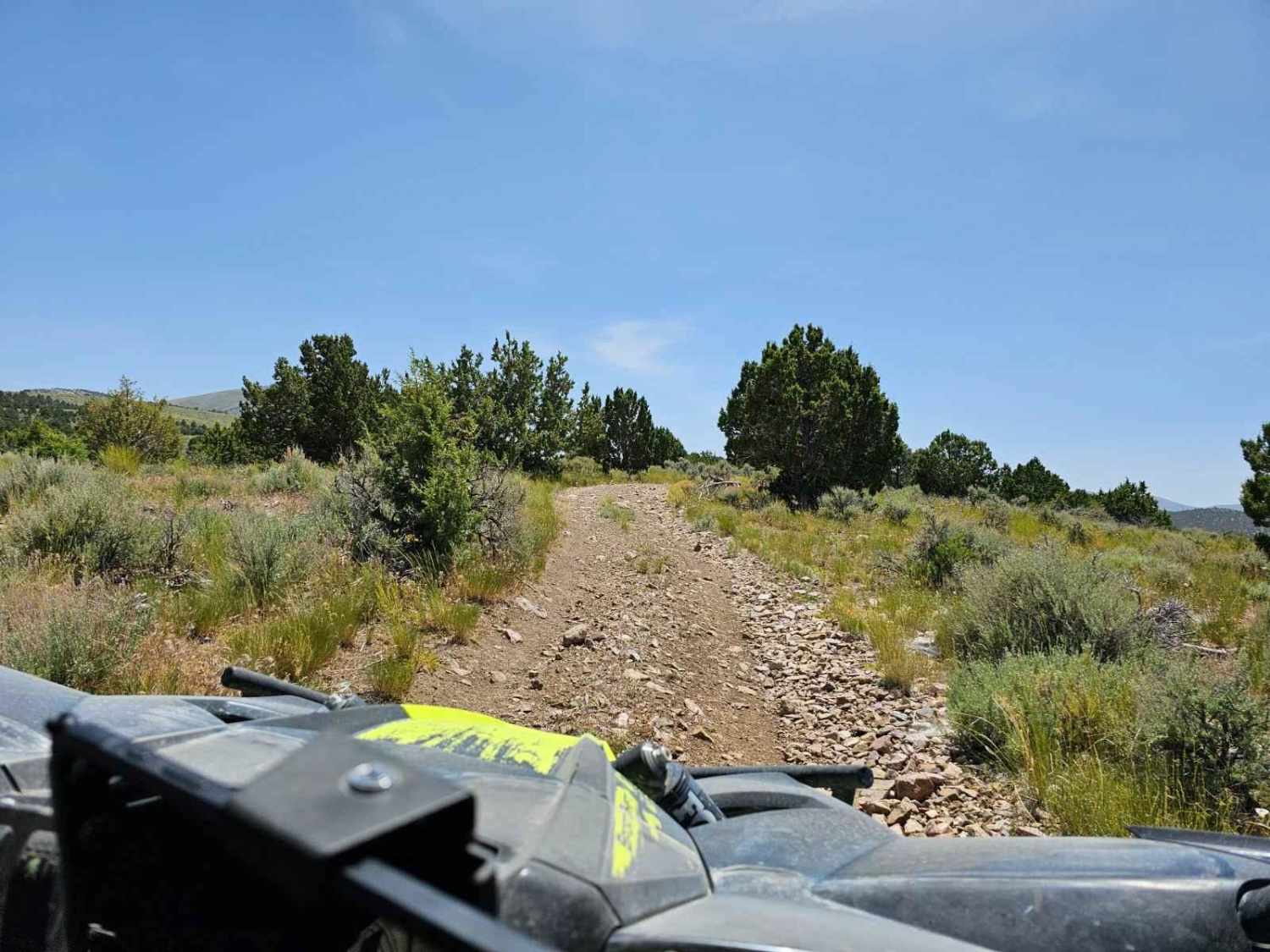
Off-Road Trails in Utah
Discover off-road trails in Utah
Learn more about Tommy Loop Access
Tommy Loop Access
Total Miles
1.3
Tech Rating
Easy
Best Time
Fall, Summer
Learn more about Tommy Loop Connector
Tommy Loop Connector
Total Miles
1.1
Tech Rating
Easy
Best Time
Fall, Summer
Learn more about Tommy Loop to Henrie Knolls
Tommy Loop to Henrie Knolls
Total Miles
5.0
Tech Rating
Easy
Best Time
Summer, Fall
Learn more about Toms Best Spring Road (BLM 33001A-30117)
Toms Best Spring Road (BLM 33001A-30117)
Total Miles
16.0
Tech Rating
Easy
Best Time
Spring, Summer, Fall, Winter
Learn more about Toms Canyon
Toms Canyon
Total Miles
10.1
Tech Rating
Easy
Best Time
Spring, Summer, Fall, Winter
Learn more about Tooele / Box Elder Line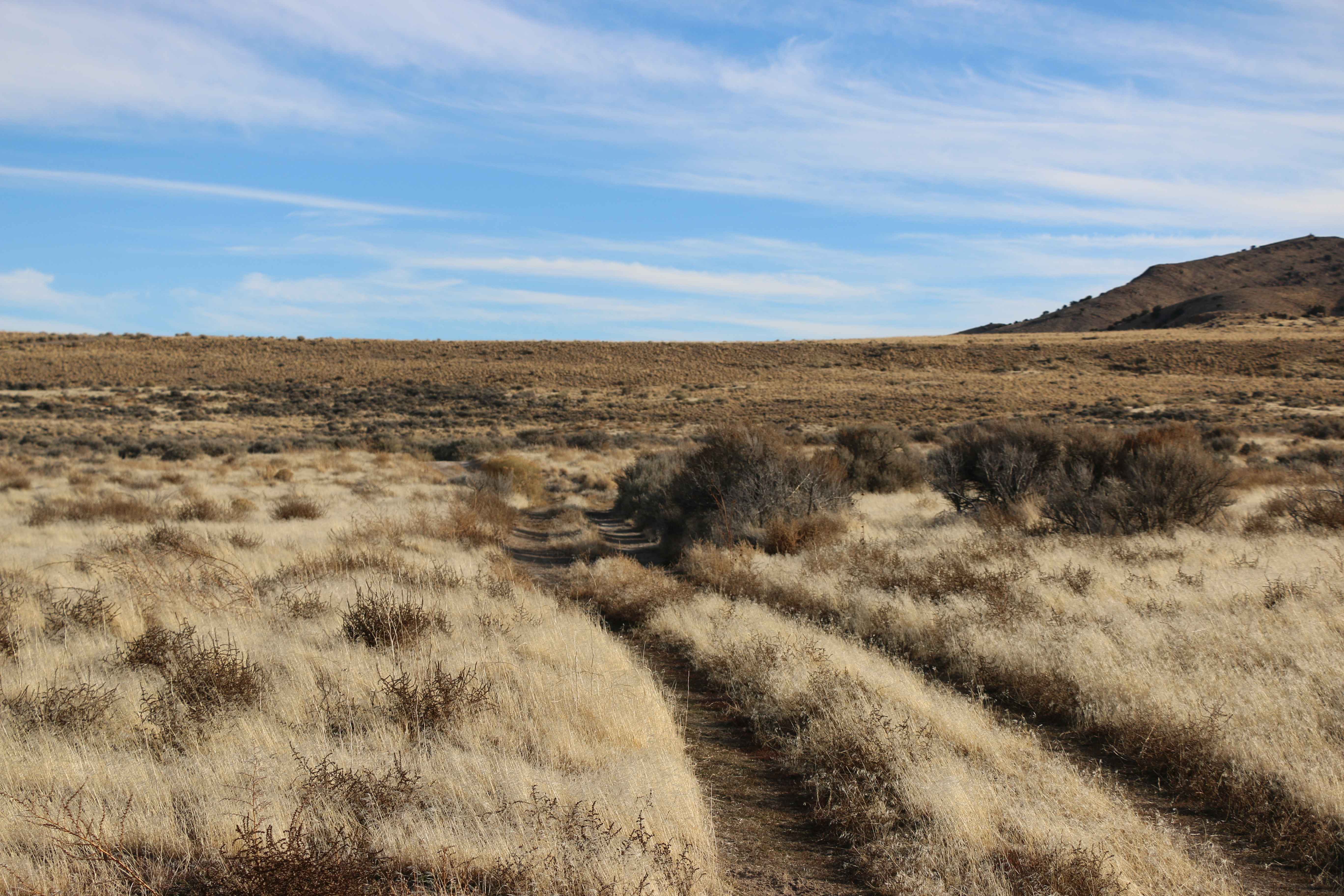
Tooele / Box Elder Line
Total Miles
6.4
Tech Rating
Easy
Best Time
Spring, Summer, Fall
Learn more about Top of the World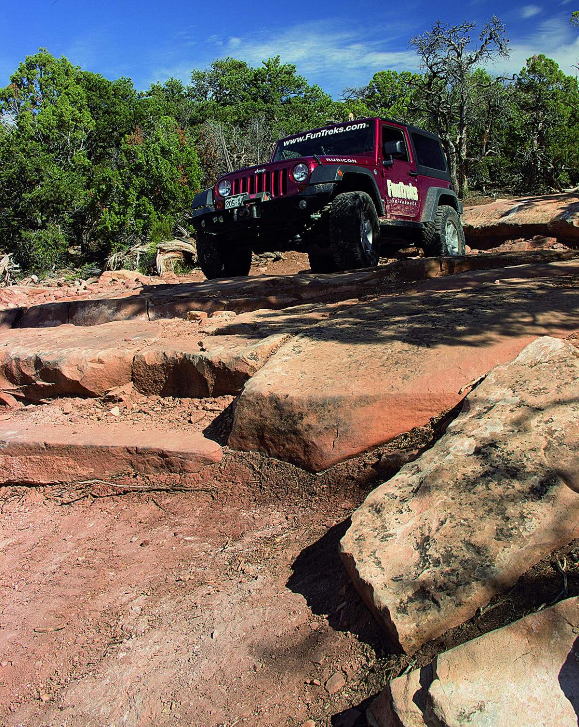
Top of the World
Total Miles
10.6
Tech Rating
Moderate
Best Time
Summer, Fall
Learn more about Top of the World Loop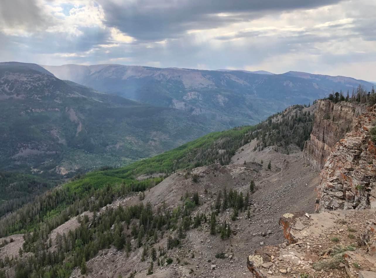
Top of the World Loop
Total Miles
13.9
Tech Rating
Easy
Best Time
Spring, Summer, Fall
Learn more about Toquer Fun Loop
Toquer Fun Loop
Total Miles
2.7
Tech Rating
Moderate
Best Time
Fall, Winter, Summer, Spring
Learn more about Toquerville Communication Towers Overlook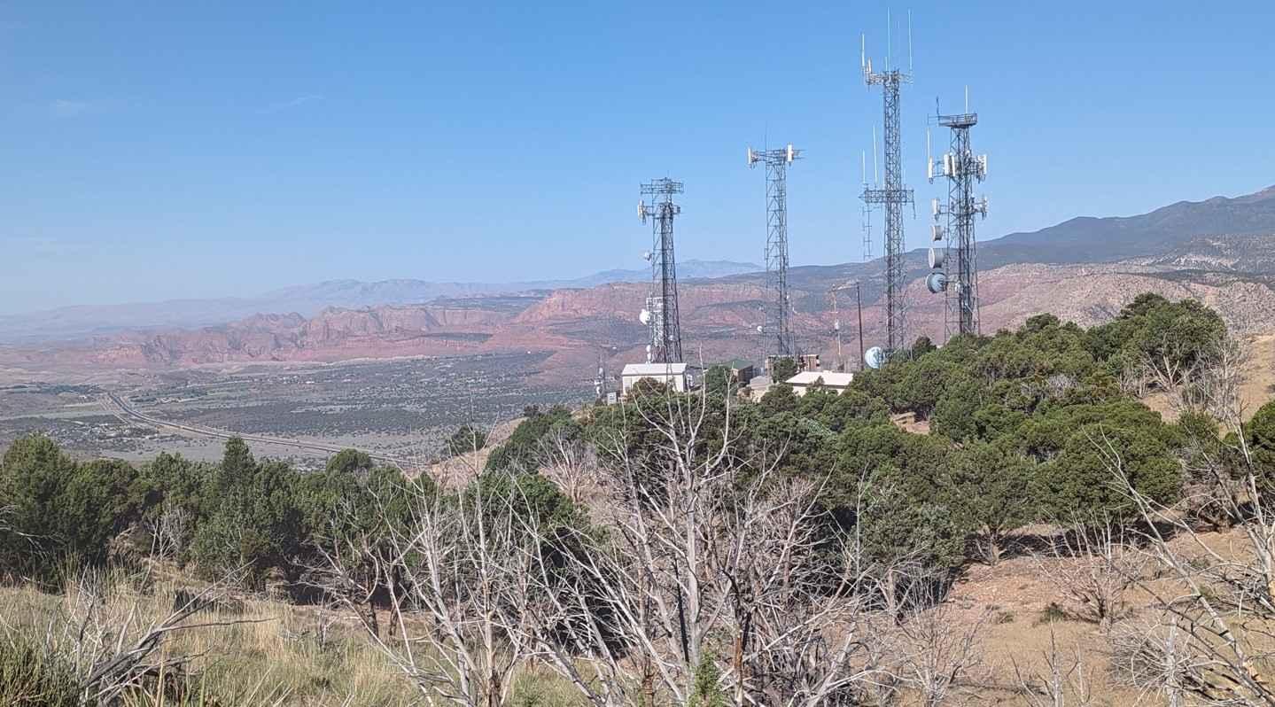
Toquerville Communication Towers Overlook
Total Miles
1.7
Tech Rating
Easy
Best Time
Spring, Summer, Fall, Winter
Learn more about Toquerville Falls
Toquerville Falls
Total Miles
7.5
Tech Rating
Easy
Best Time
Spring, Summer, Fall, Winter
Learn more about Toquerville Twister Lower Section
Toquerville Twister Lower Section
Total Miles
2.4
Tech Rating
Moderate
Best Time
Spring, Summer, Fall, Winter
Learn more about Tower Arch 4x4 Trail
Tower Arch 4x4 Trail
Total Miles
3.4
Tech Rating
Moderate
Best Time
Spring, Fall
Learn more about Trachyte Ranch Road - BLM14000
Trachyte Ranch Road - BLM14000
Total Miles
11.8
Tech Rating
Easy
Best Time
Spring, Summer, Fall, Winter
Learn more about Tracking Station Road
Tracking Station Road
Total Miles
2.0
Tech Rating
Easy
Best Time
Spring, Summer, Fall
Learn more about Trail 16 Loop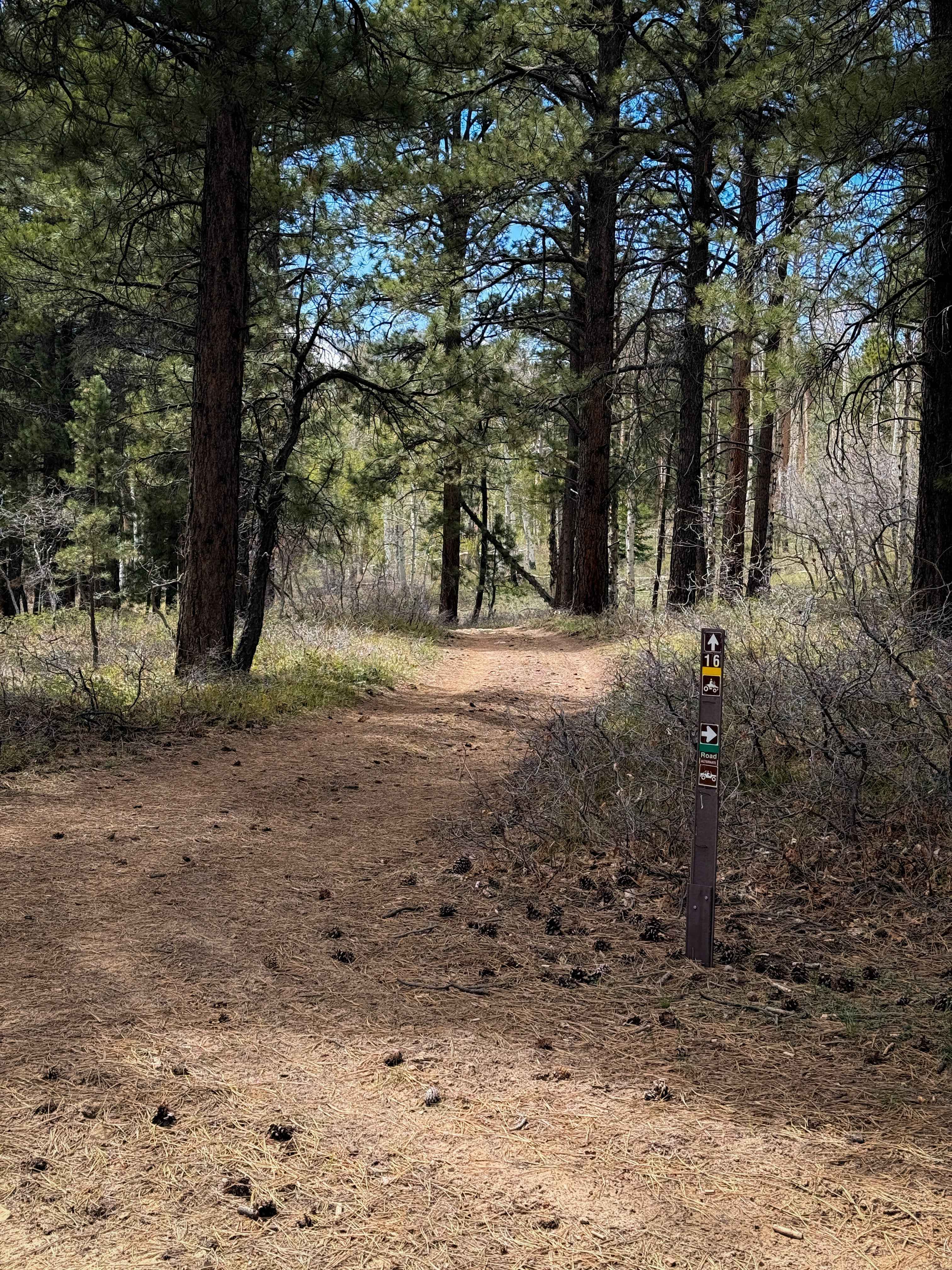
Trail 16 Loop
Total Miles
1.6
Tech Rating
Easy
Best Time
Summer, Fall, Spring
ATV trails in Utah

Learn more about 14 Mile Road
14 Mile Road
Total Miles
14.7
Tech Rating
Easy
Best Time
Spring, Summer, Fall, Winter


UTV/side-by-side trails in Utah
Learn more about 14 Mile Road
14 Mile Road
Total Miles
14.7
Tech Rating
Easy
Best Time
Spring, Summer, Fall, Winter
The onX Offroad Difference
onX Offroad combines trail photos, descriptions, difficulty ratings, width restrictions, seasonality, and more in a user-friendly interface. Available on all devices, with offline access and full compatibility with CarPlay and Android Auto. Discover what you’re missing today!