Off-Road Trails in Utah
Discover off-road trails in Utah
Learn more about Upper Ward Canyon Road
Upper Ward Canyon Road
Total Miles
3.6
Tech Rating
Easy
Best Time
Summer, Fall
Learn more about Upper Warner Ridge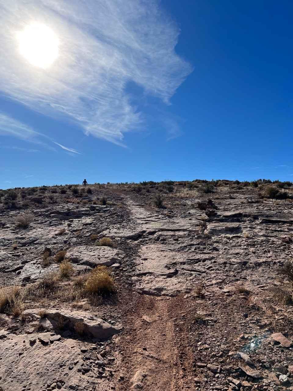
Upper Warner Ridge
Total Miles
7.4
Tech Rating
Difficult
Best Time
Winter, Fall, Summer, Spring
Learn more about UT-153 (East End)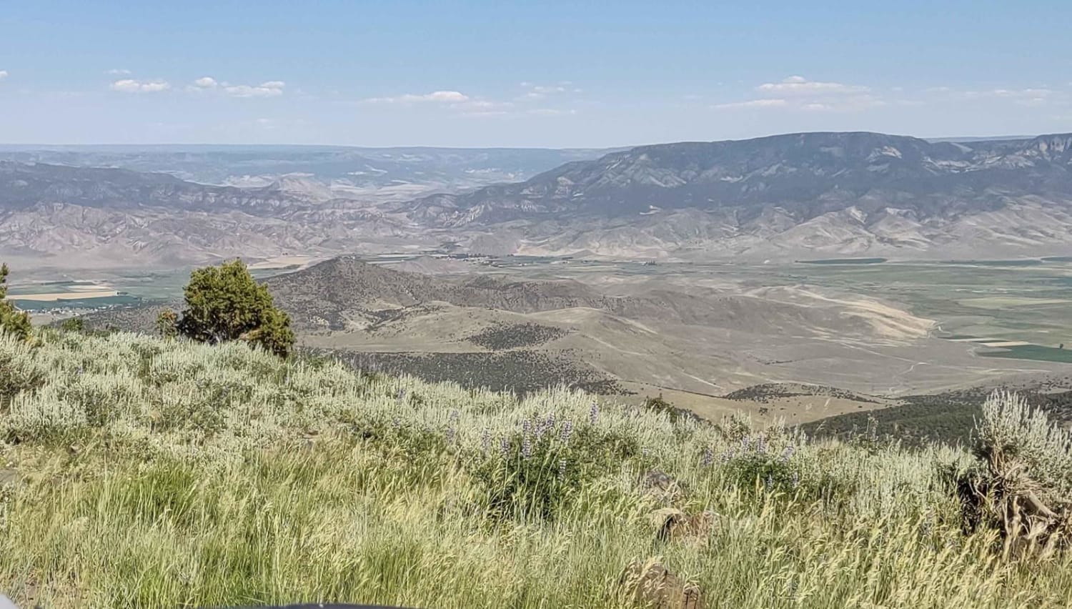
UT-153 (East End)
Total Miles
6.3
Tech Rating
Easy
Best Time
Spring, Summer, Fall, Winter
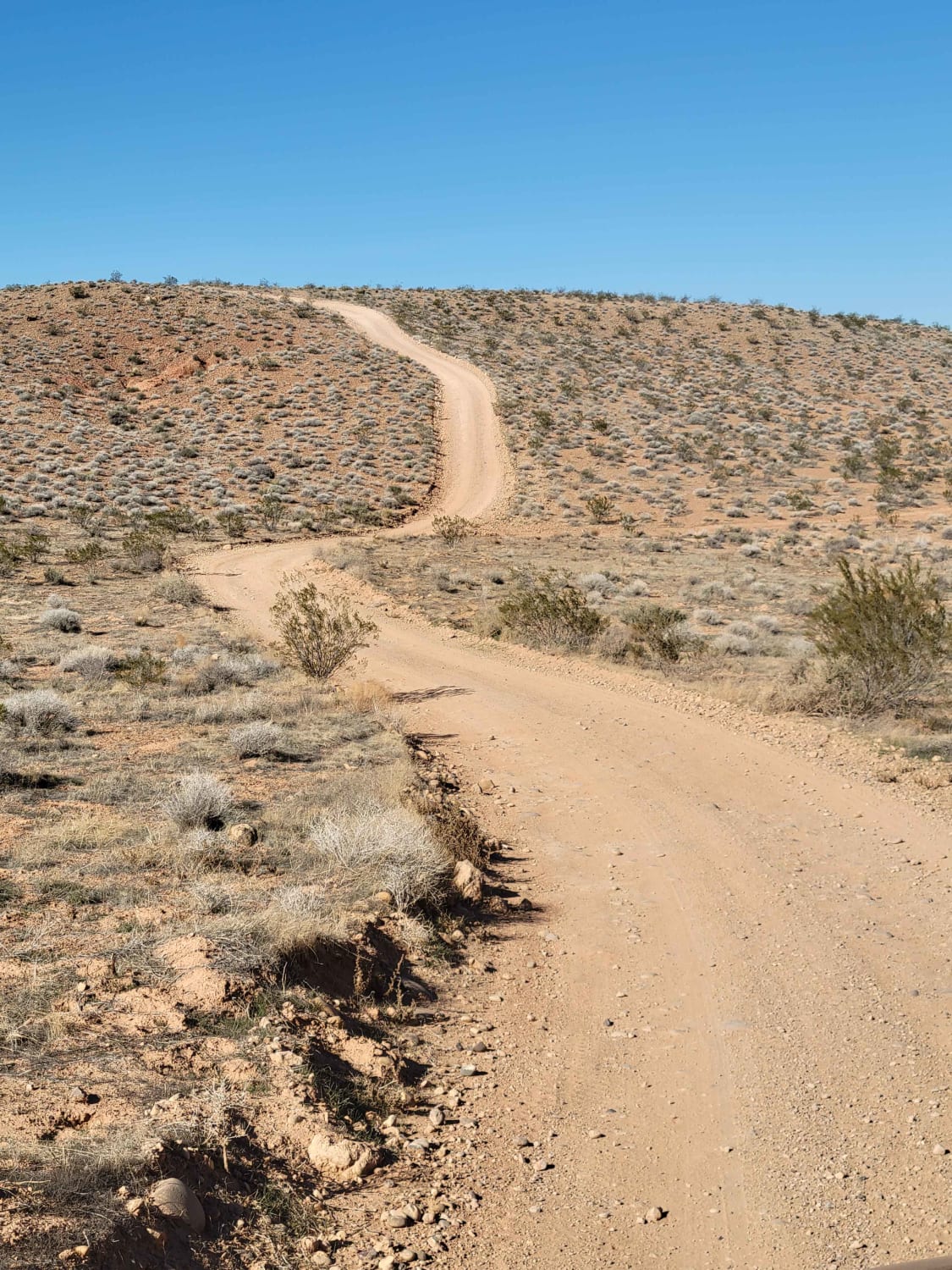
Learn more about Utah Hill Road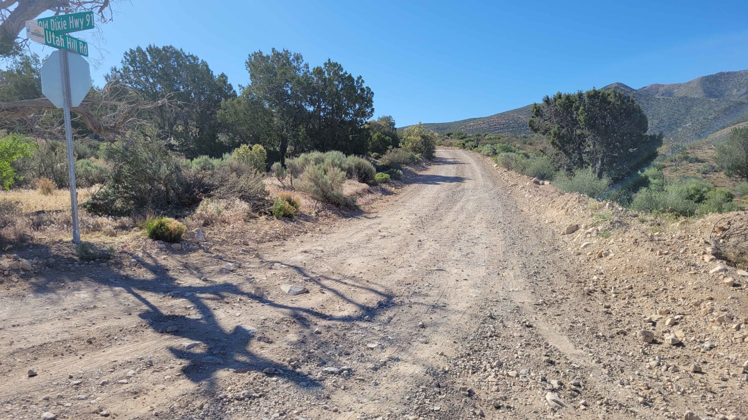
Utah Hill Road
Total Miles
3.7
Tech Rating
Moderate
Best Time
Spring, Summer, Fall
Learn more about Valley of the Gods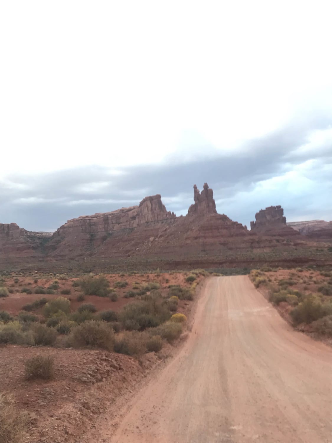
Valley of the Gods
Total Miles
16.3
Tech Rating
Easy
Best Time
Spring, Summer, Fall, Winter
Learn more about Valley Turn Track
Valley Turn Track
Total Miles
0.5
Tech Rating
Easy
Best Time
Spring, Summer, Fall, Winter
Learn more about Velocity Valley Run
Velocity Valley Run
Total Miles
13.7
Tech Rating
Easy
Best Time
Spring, Summer, Fall, Winter
Learn more about Velvet Lake Road
Velvet Lake Road
Total Miles
8.5
Tech Rating
Moderate
Best Time
Spring, Summer, Fall
Learn more about Verde Loop Trail
Verde Loop Trail
Total Miles
6.7
Tech Rating
Easy
Best Time
Spring, Summer, Fall
Learn more about Verde Mounds Trail
Verde Mounds Trail
Total Miles
2.9
Tech Rating
Easy
Best Time
Spring, Summer, Fall
Learn more about Verde South Trail
Verde South Trail
Total Miles
12.3
Tech Rating
Easy
Best Time
Spring, Summer, Fall
Learn more about Views of Big Rock Candy Mountain Canyon
Views of Big Rock Candy Mountain Canyon
Total Miles
1.6
Tech Rating
Easy
Best Time
Spring, Summer, Fall
Learn more about Vindication Canyon
Vindication Canyon
Total Miles
6.5
Tech Rating
Moderate
Best Time
Spring, Summer, Fall, Winter
Learn more about Virgin Overlook 
Virgin Overlook
Total Miles
15.5
Tech Rating
Moderate
Best Time
Summer, Fall, Spring
Learn more about Virgin River Gorge Overlook 1
Virgin River Gorge Overlook 1
Total Miles
4.4
Tech Rating
Easy
Best Time
Winter, Fall, Summer, Spring
Learn more about Virgin River Gorge Overlook 2
Virgin River Gorge Overlook 2
Total Miles
0.7
Tech Rating
Easy
Best Time
Fall, Summer, Spring
Learn more about Wallsburg Loop
Wallsburg Loop
Total Miles
34.5
Tech Rating
Moderate
Best Time
Summer, Fall
ATV trails in Utah

Learn more about 14 Mile Road
14 Mile Road
Total Miles
14.7
Tech Rating
Easy
Best Time
Spring, Summer, Fall, Winter


UTV/side-by-side trails in Utah
Learn more about 14 Mile Road
14 Mile Road
Total Miles
14.7
Tech Rating
Easy
Best Time
Spring, Summer, Fall, Winter
The onX Offroad Difference
onX Offroad combines trail photos, descriptions, difficulty ratings, width restrictions, seasonality, and more in a user-friendly interface. Available on all devices, with offline access and full compatibility with CarPlay and Android Auto. Discover what you’re missing today!