Trail Overview
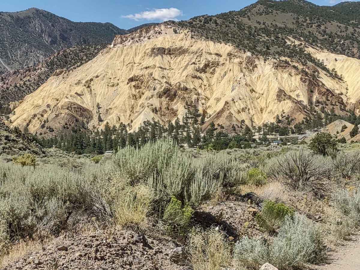
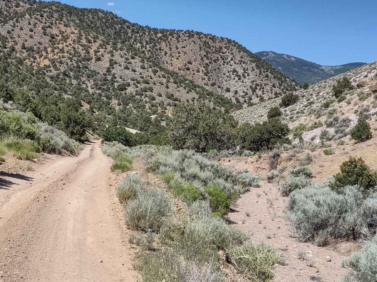
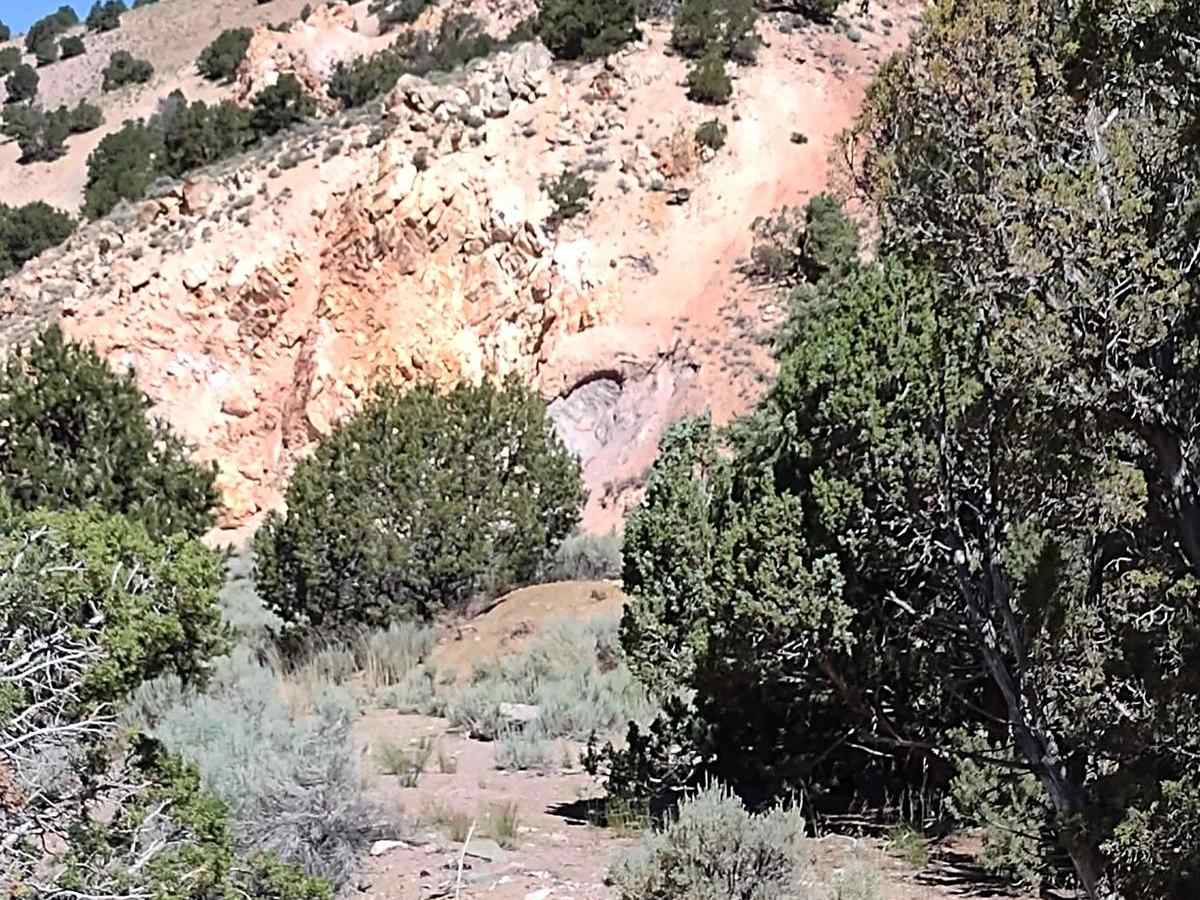
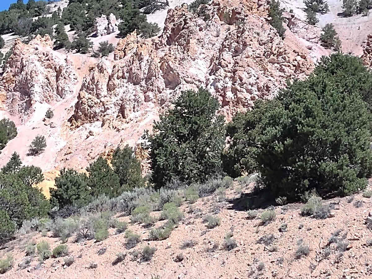
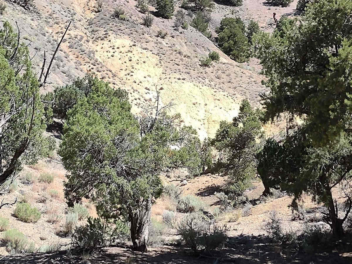
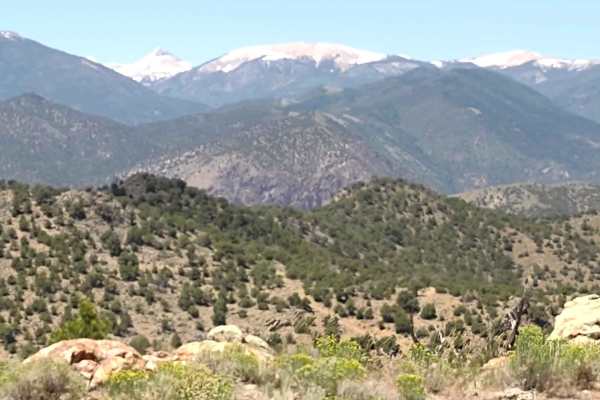
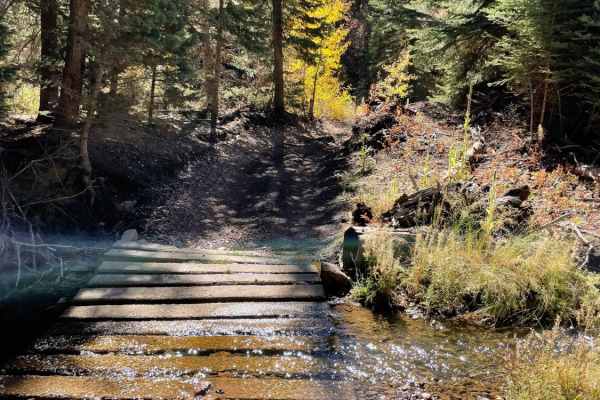
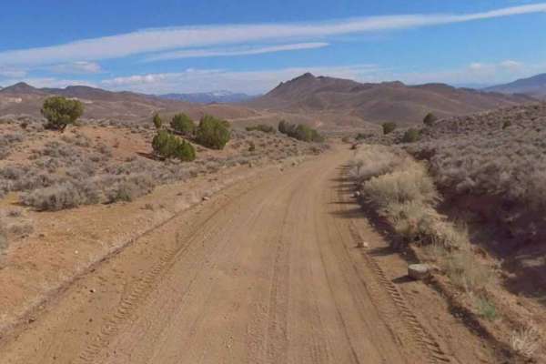
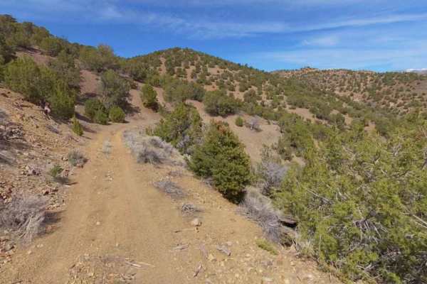
This canyon does NOT come down off of Big Rock Candy Mountain, but it is across the Sevier River and faces Big Rock Candy Mountain as you drop from the Antelope Range/Antelope Mine down to the river. The views of the mountain are better than you get just driving by on the highway. The trail crosses both BLM and private land, but access is granted. As you move through the canyon, you see evidence of historical mining done in this area. The trail is narrow in places, with no room to pass. It's rocky at times, but primarily good. And it's not a steep climb or drop. At the river, there is a nice covered pavilion with picnic tables, and there are other picnic tables under the trees. If there isn't a raft group or some other group here, they're open to the public. The views of Big Rock Candy Mountain are fantastic. Some history about Big Rock Candy Mountain. Shortly after the release of the song in 1928 with the same name, some local residents, as a joke, placed a sign at the base of this colorful mountain in Utah naming it "Big Rock Candy Mountain." They also placed a sign next to a nearby spring proclaiming it 'Lemonade Springs' based on the lyrics of the song. These names stuck, and the mythical Big Rock Candy Mountain of the song became perhaps one of the most recognized geologic sites in west-central Utah. The yellow, orange, and red colors on the mountain are from the presence of iron minerals, such as jarosite, hematite, and pyrite. The white color is due to the presence of alunite and kaolinite, minerals rich in potassium. This canyon trail is the best access from this area of southern Utah up to the Paiute Trail System, the Sevier Plateau the Manning, Upper Box Creek and Lower Box Creek Reservoirs, and Barney Lake Reservoir. It prevents you from having to travel down the pavement to Marysvale.
History
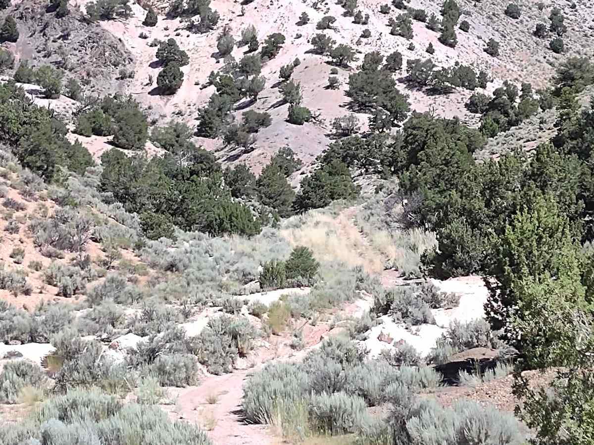
This area of Southern Utah is rich in mining history, as well as dairy and cattle ranching and a sawmill operation that operated on top of the Sevier Plateau. Henry Torgerson operated a sawmill over near Monroe Peak from 1914 to 1939. The Brindley Dairy was in operation on the Sevier Plateau from 1891-1894. Old mining operations/sites can be found all over these mountains but most have no historical data.