2 trails found in Utah
Which "trail 16" are you looking for?
We found 2 off-road trails in Utah matching your search. Pick the one you're looking for below.
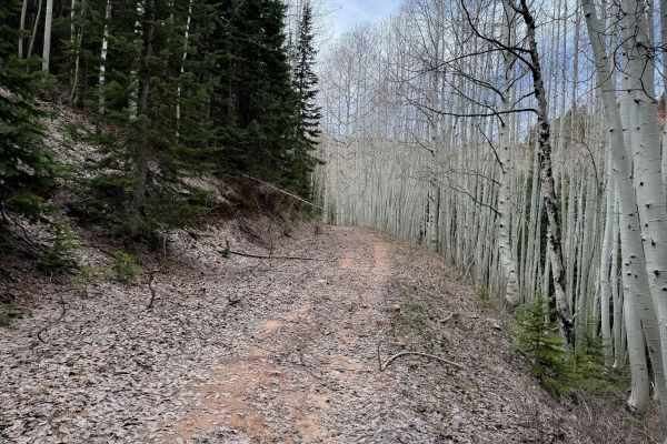
Trail 16
The eastern end of this ATV segment of Trail 16 starts at a turnoff from a road portion of Trail 16, at a 50” pinch point that departs from the road alternate. The route follows a wide shelf trail cut into the mountainside, elevated above Twomile Creek, as it traverses the hillside through a foreste...
Learn more about Trail 16
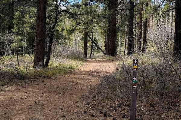
Trail 16 Loop
The north end of this trail starts at a parking area and vault toilet off of Geyser Pass, and makes a short loop around the area for 1.5 miles. It’s a quick and easy trail that younger or newer ATV riders could make while camped nearby. The trail is wide and easy, covered in small loose rocks or sti...
Learn more about Trail 16 Loop