Springs Road Fence Line Trail
Total Miles
4.0
Technical Rating
Best Time
Winter, Fall, Summer
Trail Type
High-Clearance 4x4 Trail
Accessible By
Trail Overview
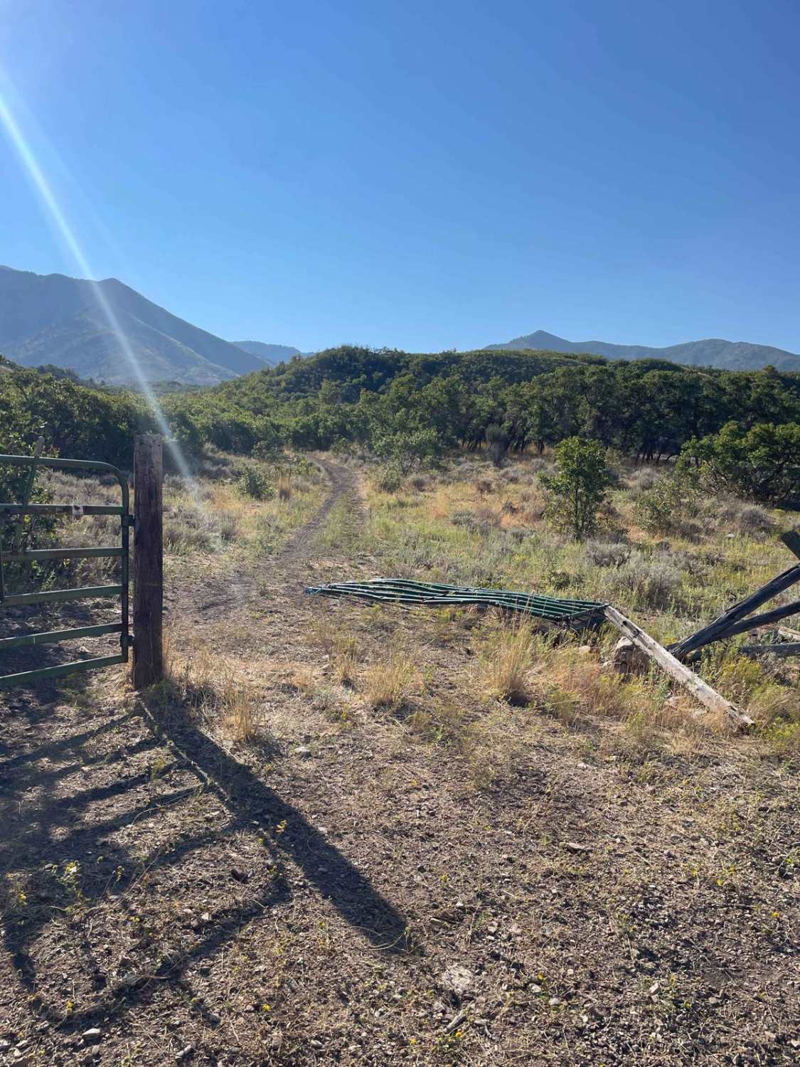
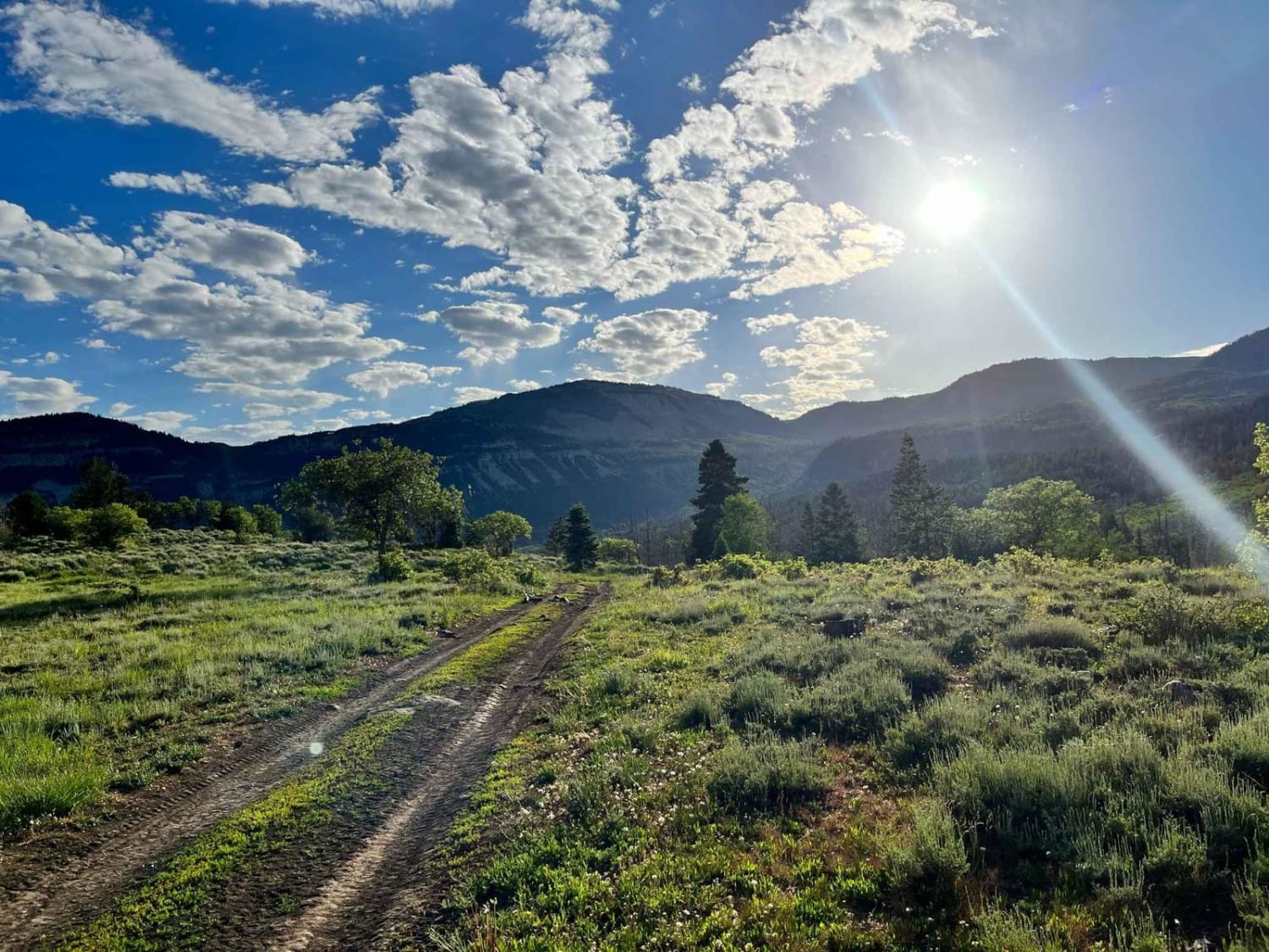
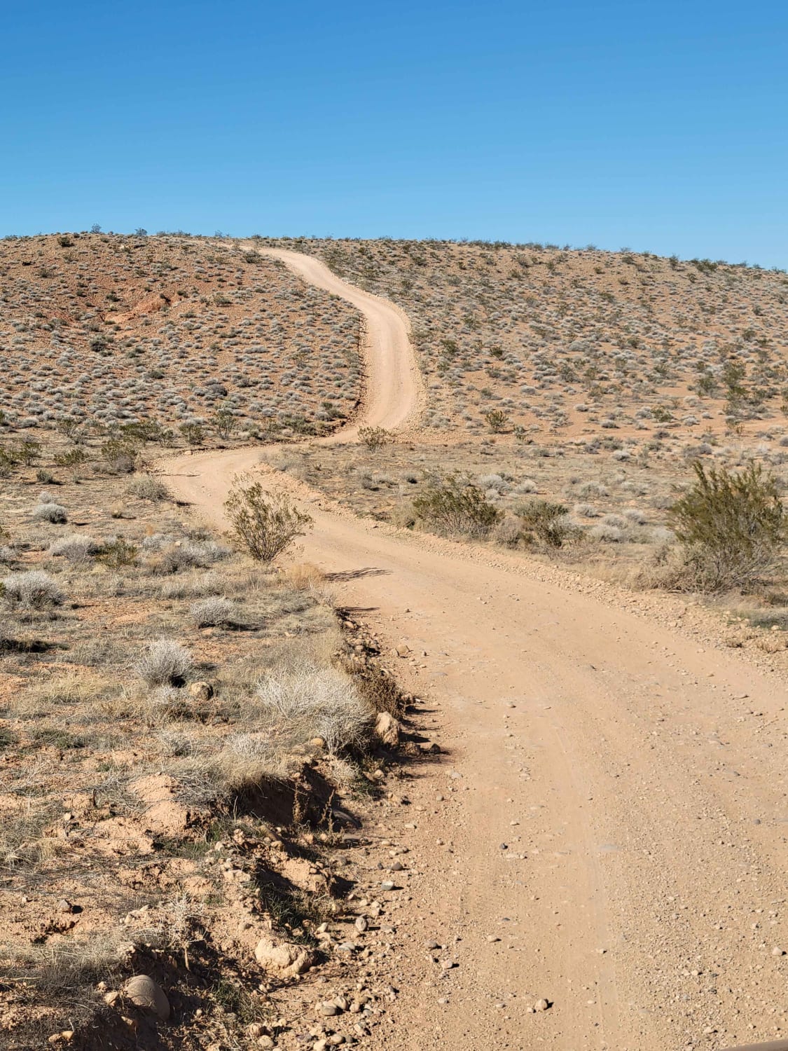
This trail starts off the dirt road called Foothill Drive. It starts heading east up the hill on the section line road and then connects to TC03617 back to the southeast all the way to the fence line. There is a gate that has been broken down in the past. There is NO Motorized access past this gate, so be aware that you could end up in a restricted area if you are not careful. You will turn south along the fence line and ride the cattle trampled and pickup rutted road down to the Bates Canyon Trail and cross over to the Erda Lookout, where you can stop and enjoy the view of the Tooele Valley.
Photos of Springs Road Fence Line Trail

Difficulty
The main challenges here are the ruts from the cattle trucks and water runoff. There are some areas that get rocky with boulders from 6 inches to over 2 feet, but they shouldn't give you too much trouble if you are traveling at an appropriate speed.
Status Reports
Springs Road Fence Line Trail can be accessed by the following ride types:
- High-Clearance 4x4
- SxS (60")
- ATV (50")
- Dirt Bike
Springs Road Fence Line Trail Map
Popular Trails

Rose Meadows- FS 40058
Toquerville Communication Towers Overlook
The onX Offroad Difference
onX Offroad combines trail photos, descriptions, difficulty ratings, width restrictions, seasonality, and more in a user-friendly interface. Available on all devices, with offline access and full compatibility with CarPlay and Android Auto. Discover what you’re missing today!