Starvation Road - FS0009
Total Miles
10.7
Technical Rating
Best Time
Spring, Summer, Fall
Trail Type
Full-Width Road
Accessible By
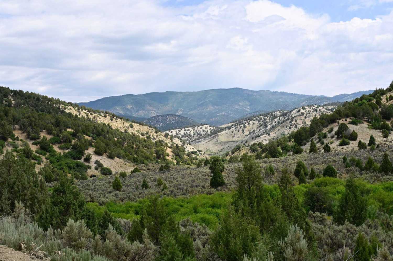
Trail Overview
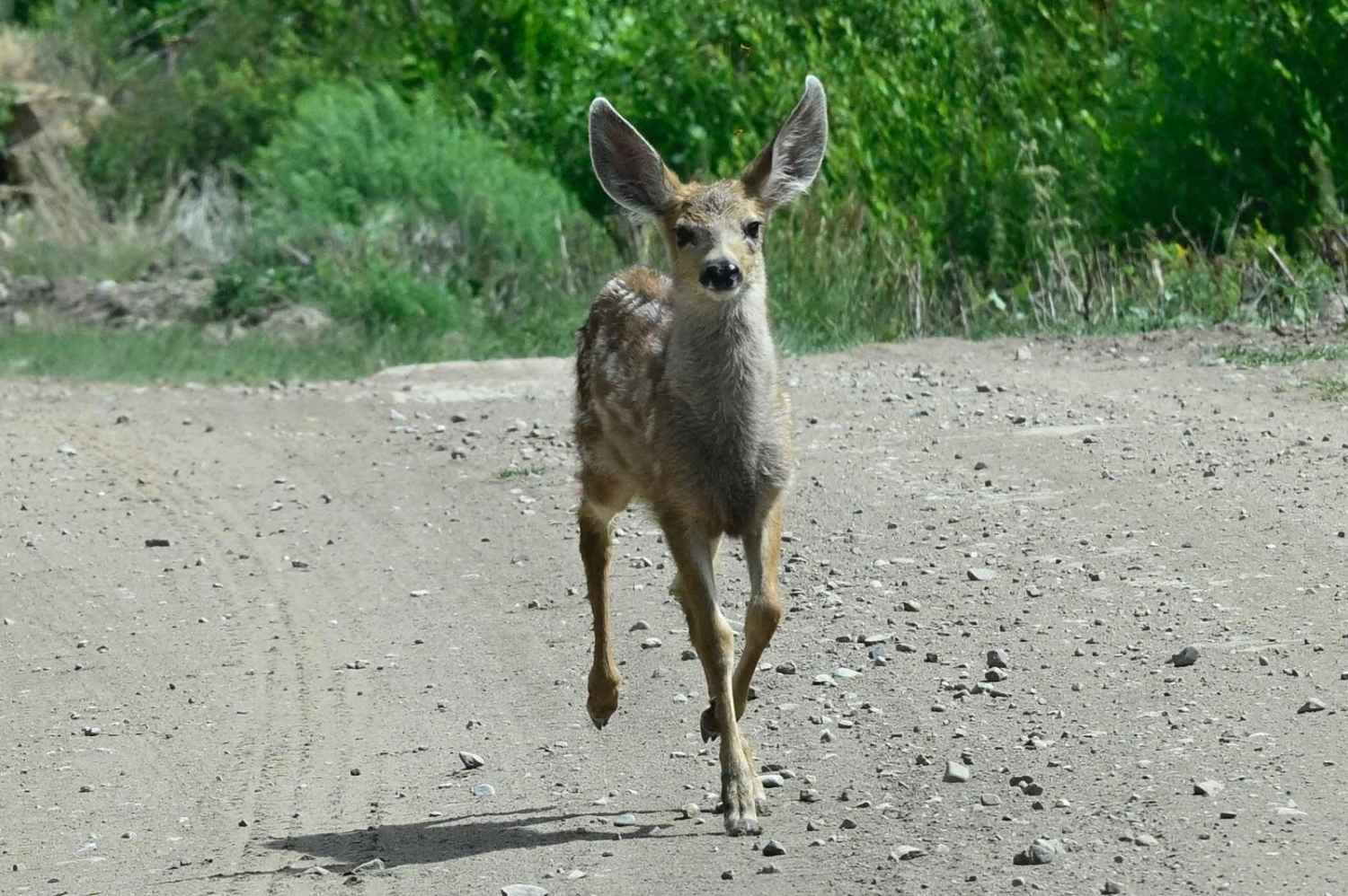
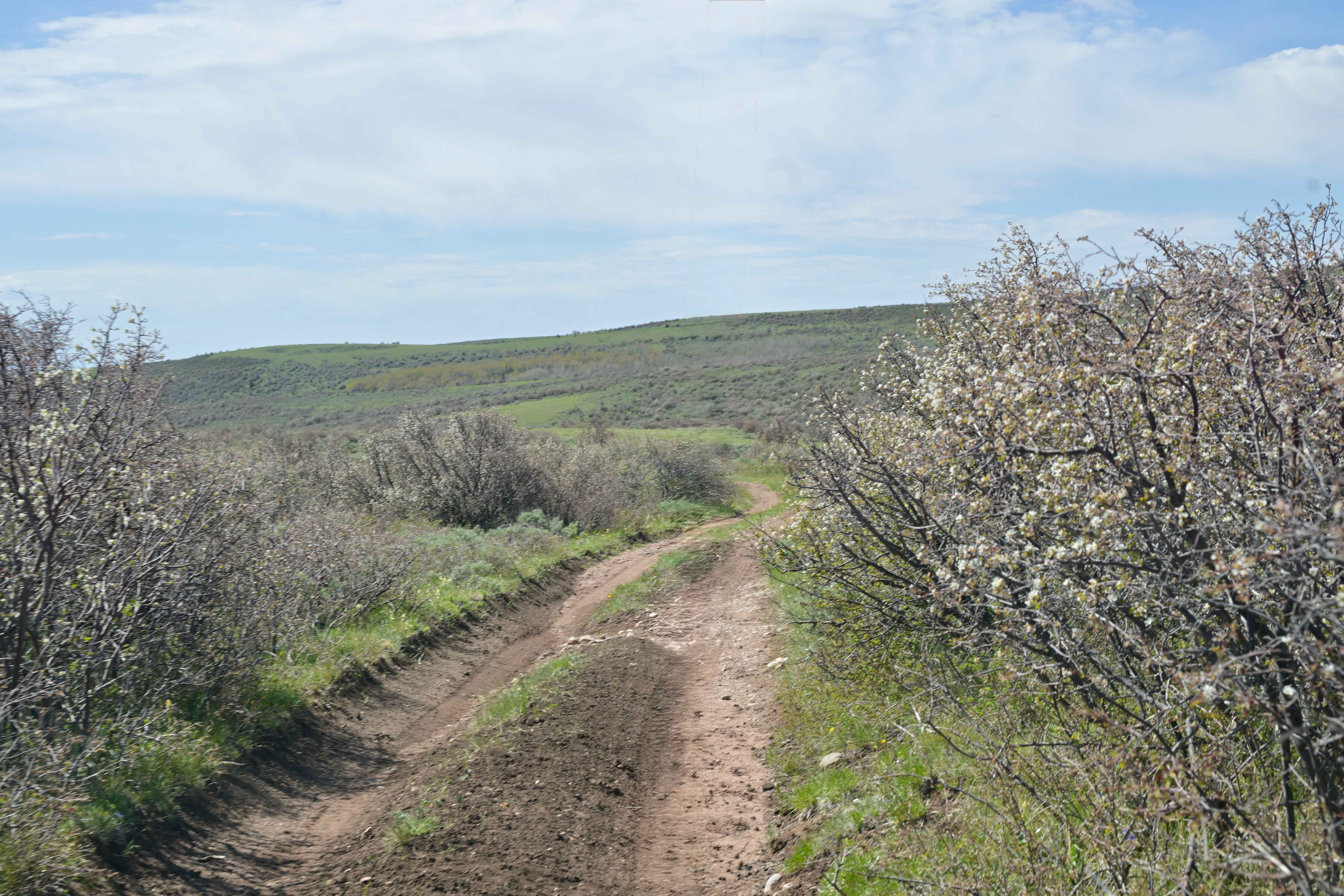
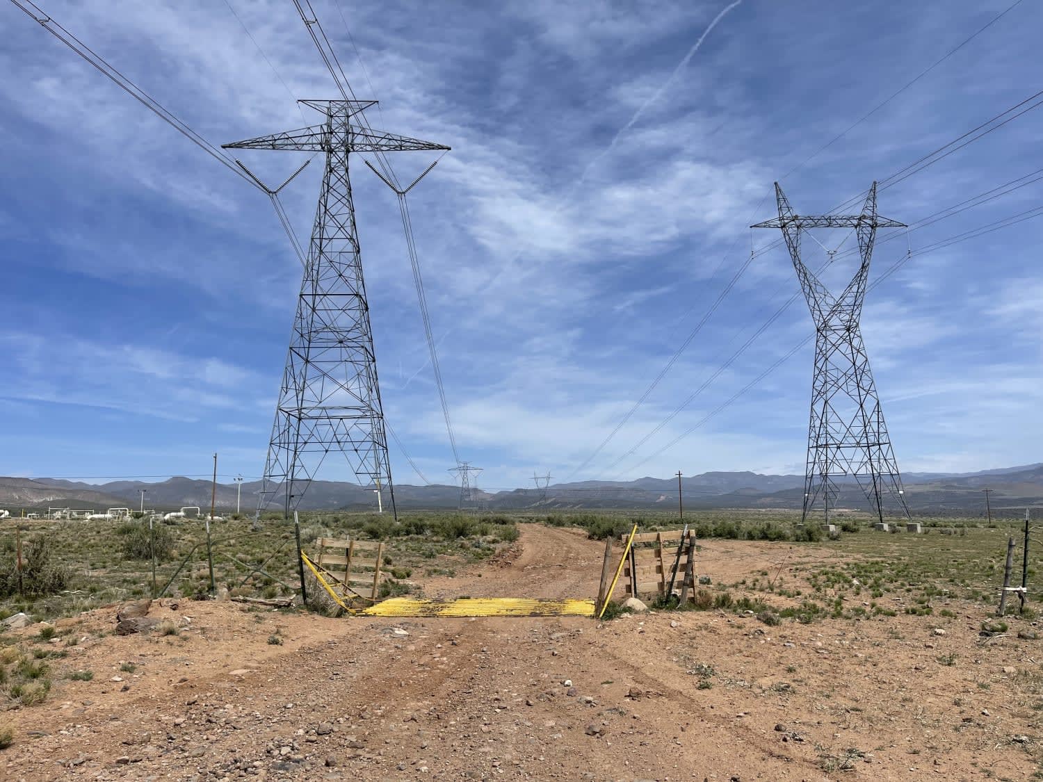
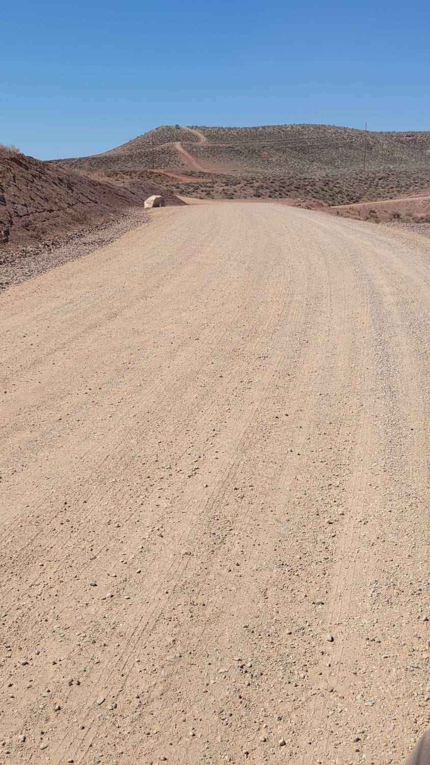
Trail travels from Utah Highway 6 at the north end, near the Skyline Drive northern terminus and trail head, and winds through Starvation Canyon to the Intersection of Bear Ridge (FS0008) at which point you can either continue to Scofield Lake/Scofield State Park, or follow Bear Ridge back to Skyline Drive making a larger loop without an out and back. The trail is generally well-maintained and ranges from smooth dirt to mild two-track and slightly rougher dirt trails. Road conditions tend to change based on what agency the trail is currently passing through. It does pass through BLM, Utah Fish and Wildlife, Utah Trust, and a small portion of easement through private land. The trail has a large amount of wildlife and is also open grazing land, so keep an eye out. Starvation Canyon's geological views are interesting and make for a scenic ride
Photos of Starvation Road - FS0009
Difficulty
Generally easy trail, numerous areas of deadfall were encountered due to beetle infestation downing trees, so travel prepared.
Status Reports
Starvation Road - FS0009 can be accessed by the following ride types:
- High-Clearance 4x4
- SUV
- SxS (60")
- ATV (50")
- Dirt Bike
Starvation Road - FS0009 Map
Popular Trails
Bassett Creek - FS 10579
Twisty Turny Teeth Chattering Powerline Trail

The onX Offroad Difference
onX Offroad combines trail photos, descriptions, difficulty ratings, width restrictions, seasonality, and more in a user-friendly interface. Available on all devices, with offline access and full compatibility with CarPlay and Android Auto. Discover what you’re missing today!