BLM13480
Total Miles
4.5
Technical Rating
Best Time
Spring, Summer, Fall, Winter
Trail Type
Full-Width Road
Accessible By
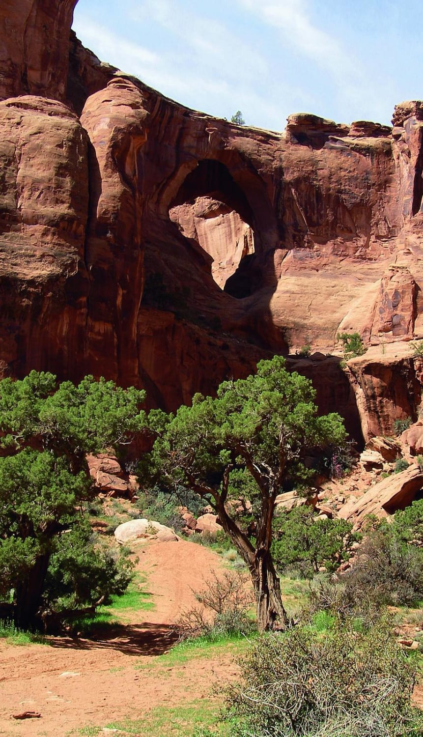
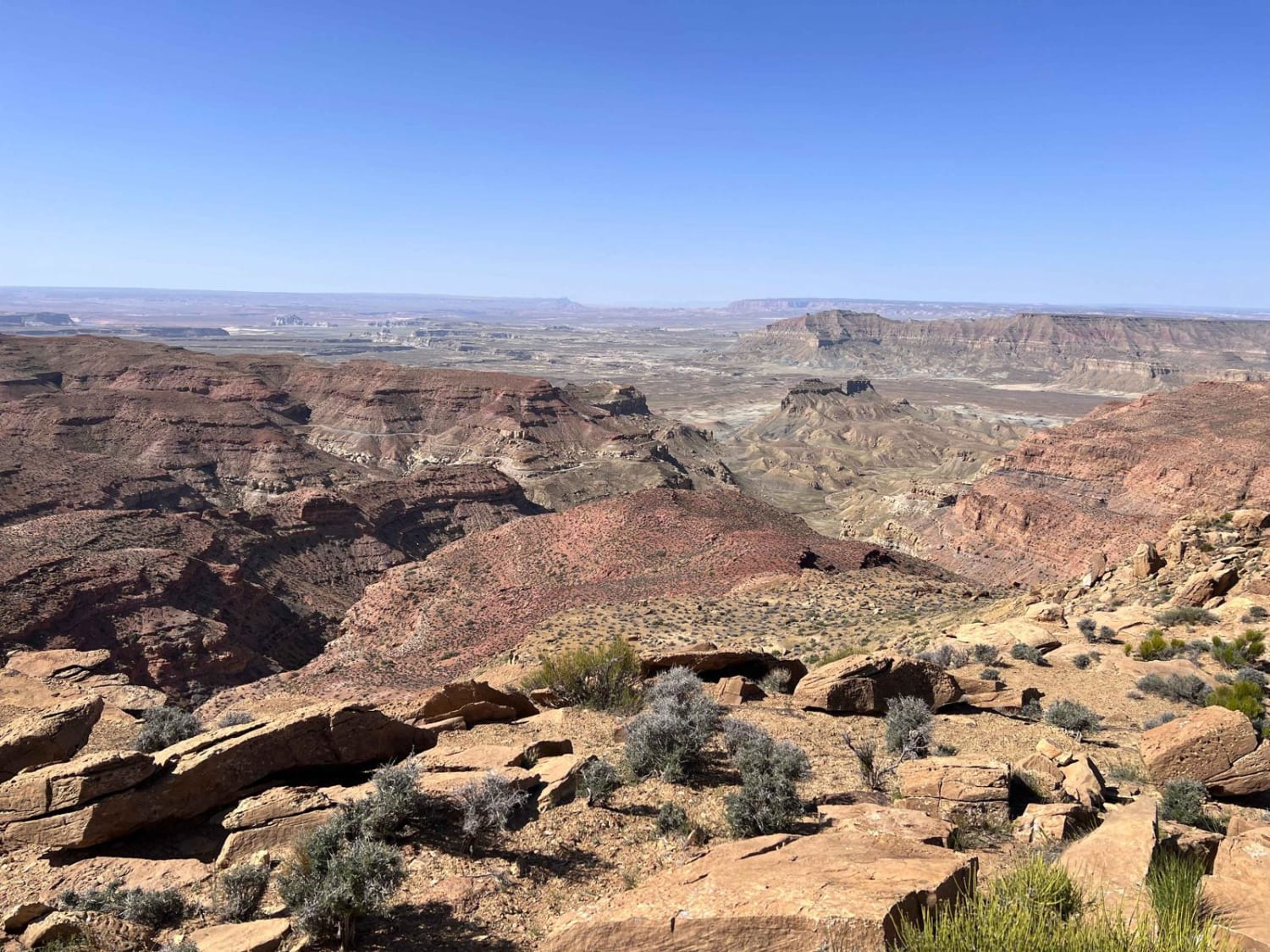
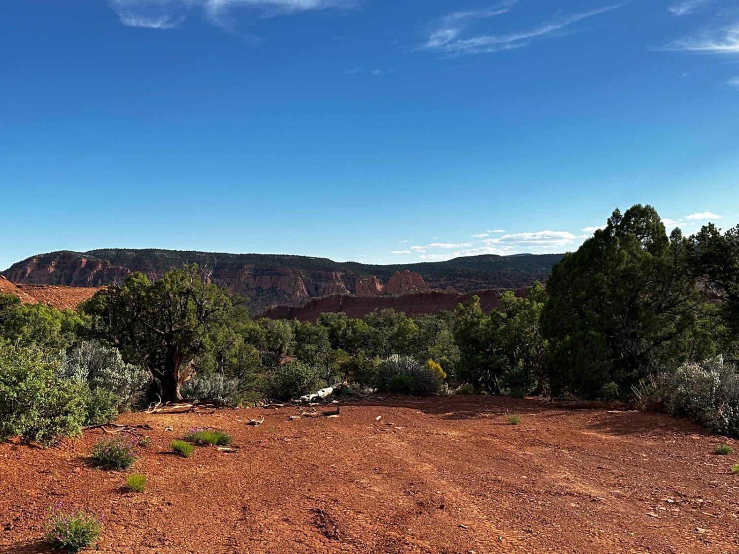
Trail Overview
BLM13480 is a 4.5-mile loop trail rated 3 of 10 located in Garfield County, Utah, just north of the Glen Canyon National Recreational Area. BLM13480 is one of the easternmost accessible trails within the Cane Spring Desert. This looping single-track trail runs from the eastern end of Ticaboo Mesa Road into the Glen Canyon NRA and out onto Good Hope Mesa with an overlook of Lake Powell and the Good Hope Bar. Once you leave the highway, cell phone service is intermittent. There are several fuel stations along Highway 276. The nearest full services are located in Hanksville to the north.
Photos of BLM13480


Difficulty
The trail consists of loose rocks, dirt, and sand with some slickrock surfaces, mud holes possible, no steps higher than 12". 4WD may be required, aggressive tires are a plus.
Status Reports
BLM13480 can be accessed by the following ride types:
- High-Clearance 4x4
- SUV
- SxS (60")
- ATV (50")
- Dirt Bike
BLM13480 Map
Popular Trails
Bull Canyon, Day Canyon
Smokey Mountain Road Must See Sites
Markagunt Plateau-Clear Creek FS 30050
Pleasant Creek (South Draw Road)
The onX Offroad Difference
onX Offroad combines trail photos, descriptions, difficulty ratings, width restrictions, seasonality, and more in a user-friendly interface. Available on all devices, with offline access and full compatibility with CarPlay and Android Auto. Discover what you’re missing today!