Markagunt Plateau-Clear Creek FS 30050
Total Miles
4.0
Technical Rating
Best Time
Spring, Summer, Fall
Trail Type
Full-Width Road
Accessible By
Trail Overview
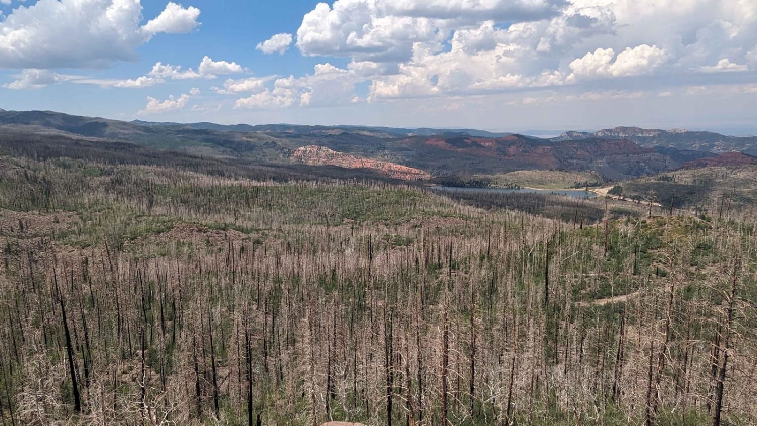
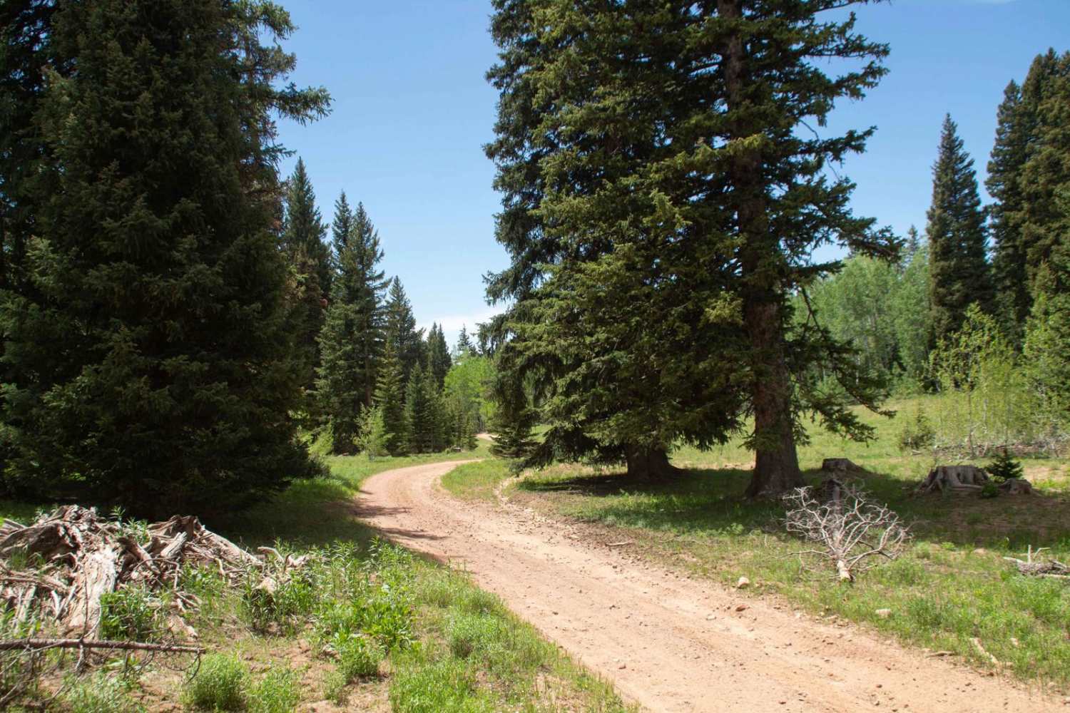
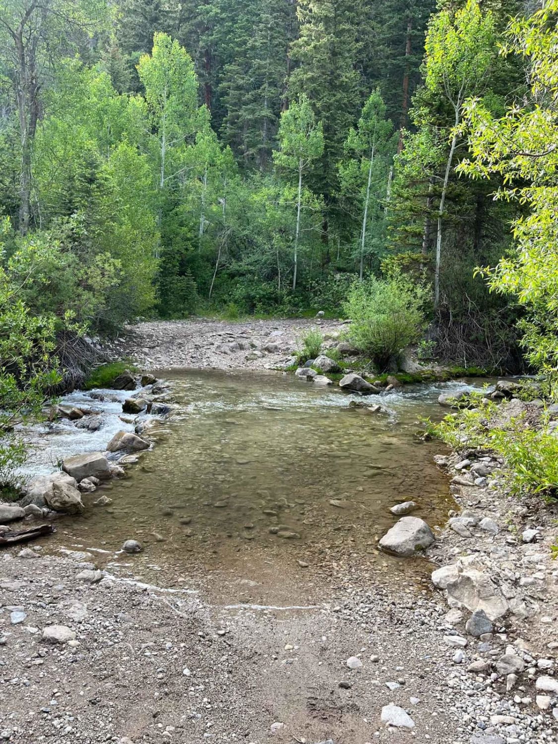
Markagunt Plateau-Clear Creek FS 30050 is a 4-mile point-to-point or out-and-back (depending upon vehicle size) trail located in Iron County, Utah, within the Cedar City Ranger District of the Dixie National Forest. The trailhead starts at the Clear Creek ATV parking area and travels west to the Clear Creek Pass at 9,940 feet. The trail is open to all types of off-road vehicles to the pass. Crossing the pass and continuing down the western slope, the trail is restricted to vehicles 72 inches or less in width. This is a popular destination trail for the views of colorful cliffs to the west. The view is spectacular any time of the day but is best when the sun is rising in the east and shining directly on the cliff line. Do not attempt to descend the western section in a full-size vehicle. First, it is illegal and secondly, the trail is loose rock with steps with restricted width where the rockfalls are located. There is no cell service along this route and the nearest services are in Hatch.
Photos of Markagunt Plateau-Clear Creek FS 30050
Difficulty
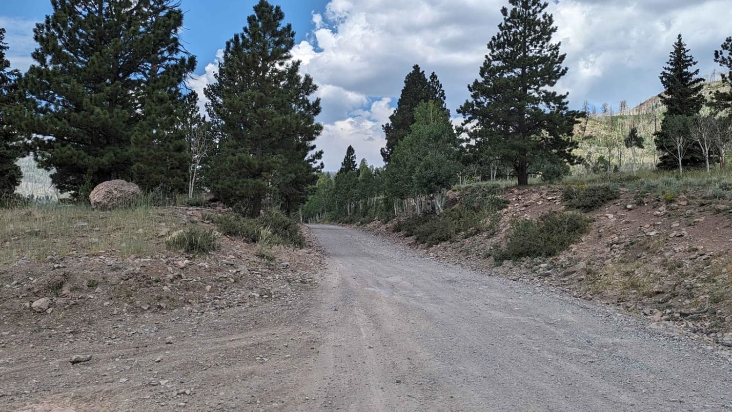
The trail consists of loose rocks, dirt, and sand with some slickrock surfaces. Mud holes are possible, but there are no steps higher than 12 inches. 4WD may be required, and aggressive tires are a plus.
Status Reports
Markagunt Plateau-Clear Creek FS 30050 can be accessed by the following ride types:
- High-Clearance 4x4
- SUV
- SxS (60")
- ATV (50")
- Dirt Bike
Markagunt Plateau-Clear Creek FS 30050 Map
Popular Trails
Canyonlands Overlook
Left Fork Days Canyon (8011)
Running Water Spring Road
Green Springs Trail
The onX Offroad Difference
onX Offroad combines trail photos, descriptions, difficulty ratings, width restrictions, seasonality, and more in a user-friendly interface. Available on all devices, with offline access and full compatibility with CarPlay and Android Auto. Discover what you’re missing today!
