Spring Canyon Point - PARTIALLY CLOSED
Total Miles
17.3
Technical Rating
Best Time
Spring, Summer, Fall
Trail Type
Full-Width Road
Accessible By
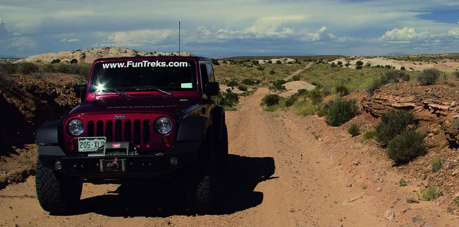
Trail Overview
Photos of Spring Canyon Point - PARTIALLY CLOSED
Difficulty
Easy. Wide road until the end. Mostly dirt and sand with a little slickrock mixed in. Ruts and occasional washouts possible. We call the optional side trip to the arch 'moderate,' but a careful driver should be able to make it with little trouble in a stock, high-clearance 4-wheel-drive SUV.
History
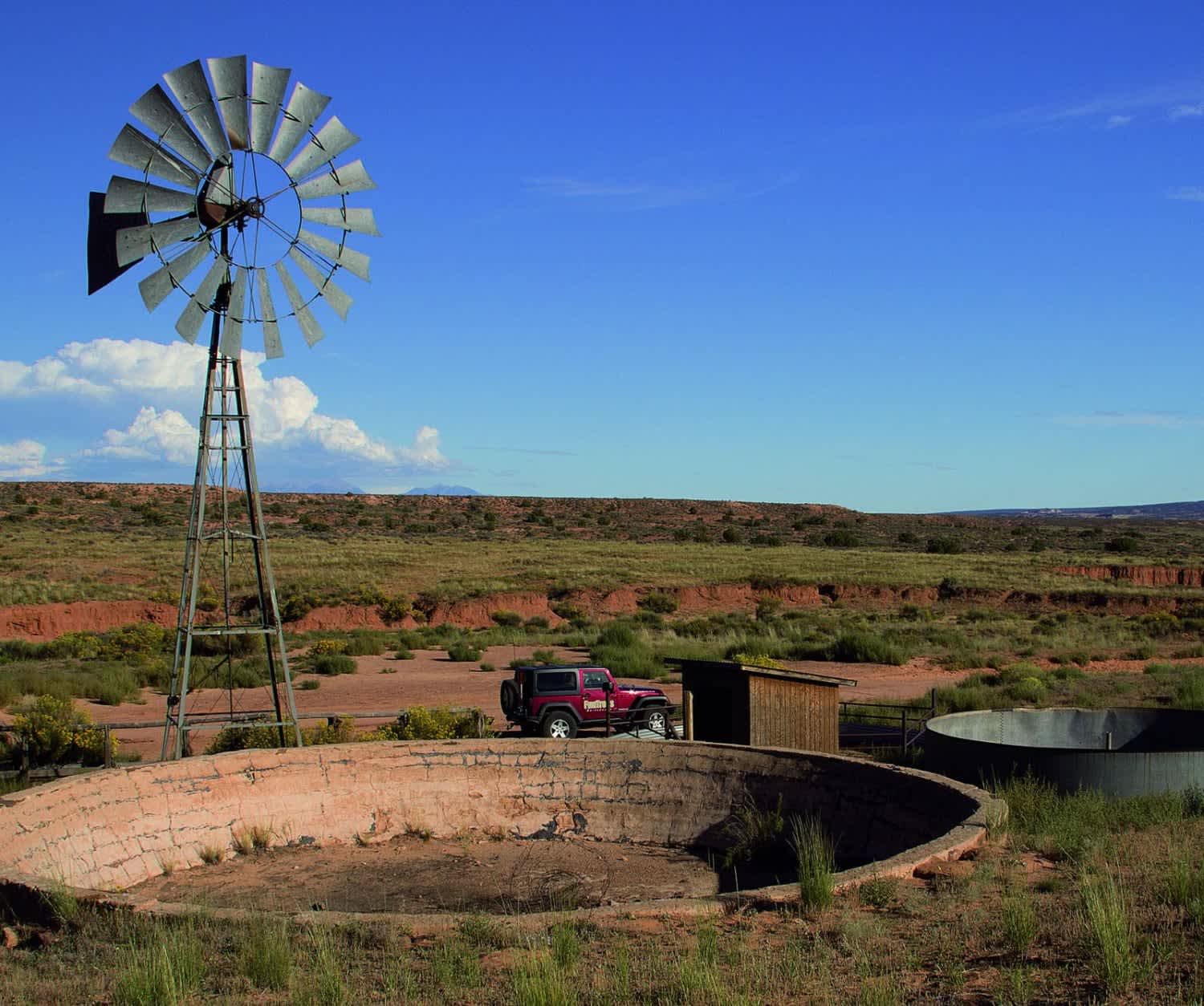
Take a few extra minutes to see Dubinky Well, just 0.2 mile north of the start. It was originally built in 1937 by the Civilian Conservation Corps and provides water for livestock grazing. The windmill is larger than normal to facilitate the extradeep 500-ft. well. Source: Kiosk at site.
Status Reports
Spring Canyon Point - PARTIALLY CLOSED can be accessed by the following ride types:
- High-Clearance 4x4
- SUV
- SxS (60")
- ATV (50")
- Dirt Bike
Spring Canyon Point - PARTIALLY CLOSED Map
Popular Trails

Parker Mountain Trail (PMT) 14 to PMT 15
Pinchot to Cowboy Camp Trail

Davis Mountain Pass

Great Western Trail
The onX Offroad Difference
onX Offroad combines trail photos, descriptions, difficulty ratings, width restrictions, seasonality, and more in a user-friendly interface. Available on all devices, with offline access and full compatibility with CarPlay and Android Auto. Discover what you’re missing today!