Sovereign Singletrack
Total Miles
17.4
Technical Rating
Best Time
Spring, Fall
Trail Type
Single Track
Accessible By
Trail Overview
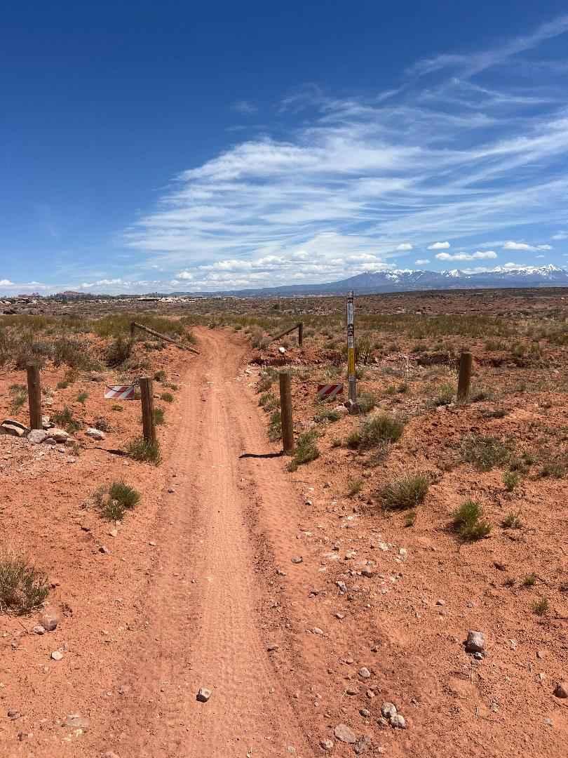
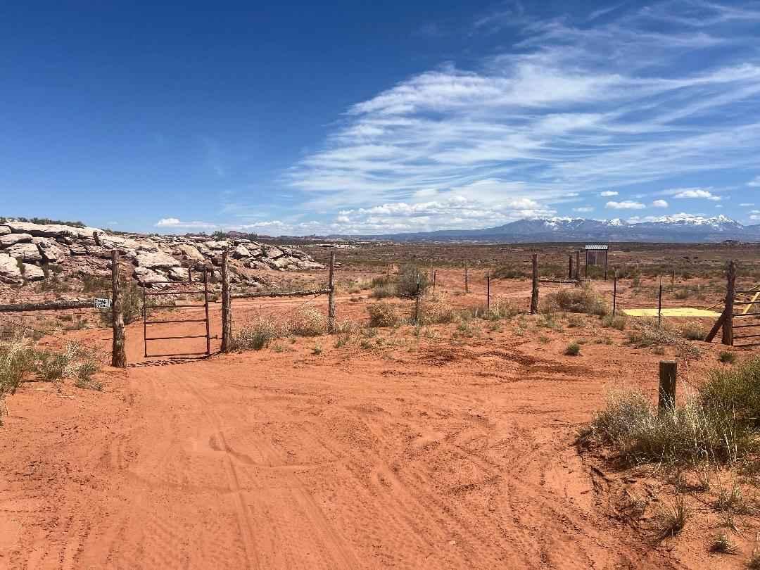
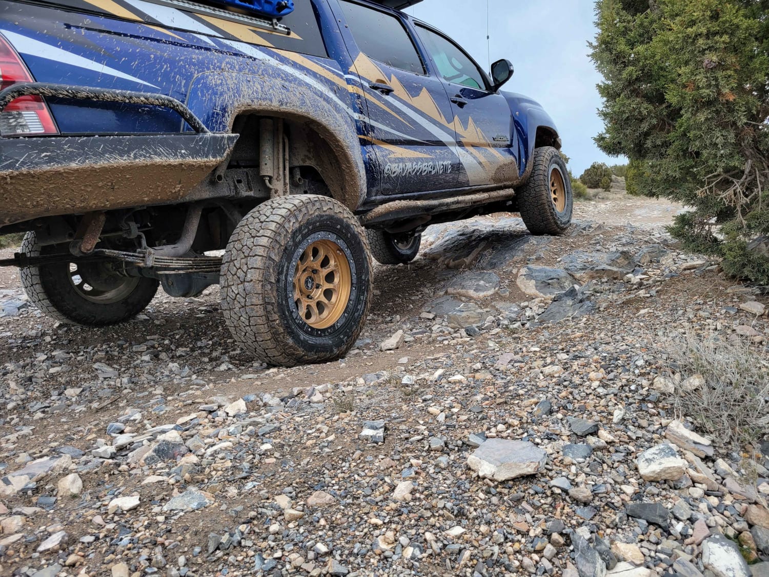
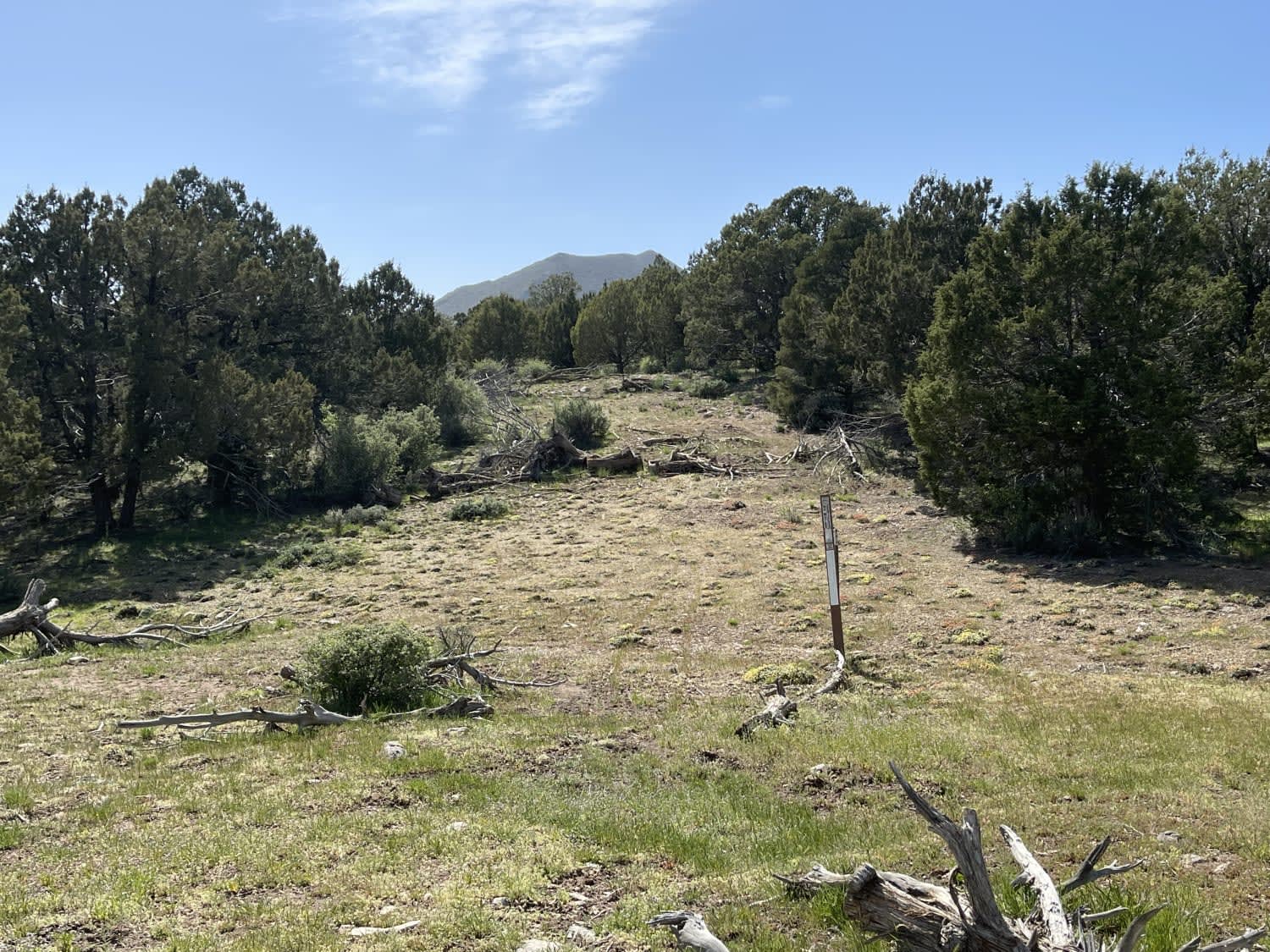
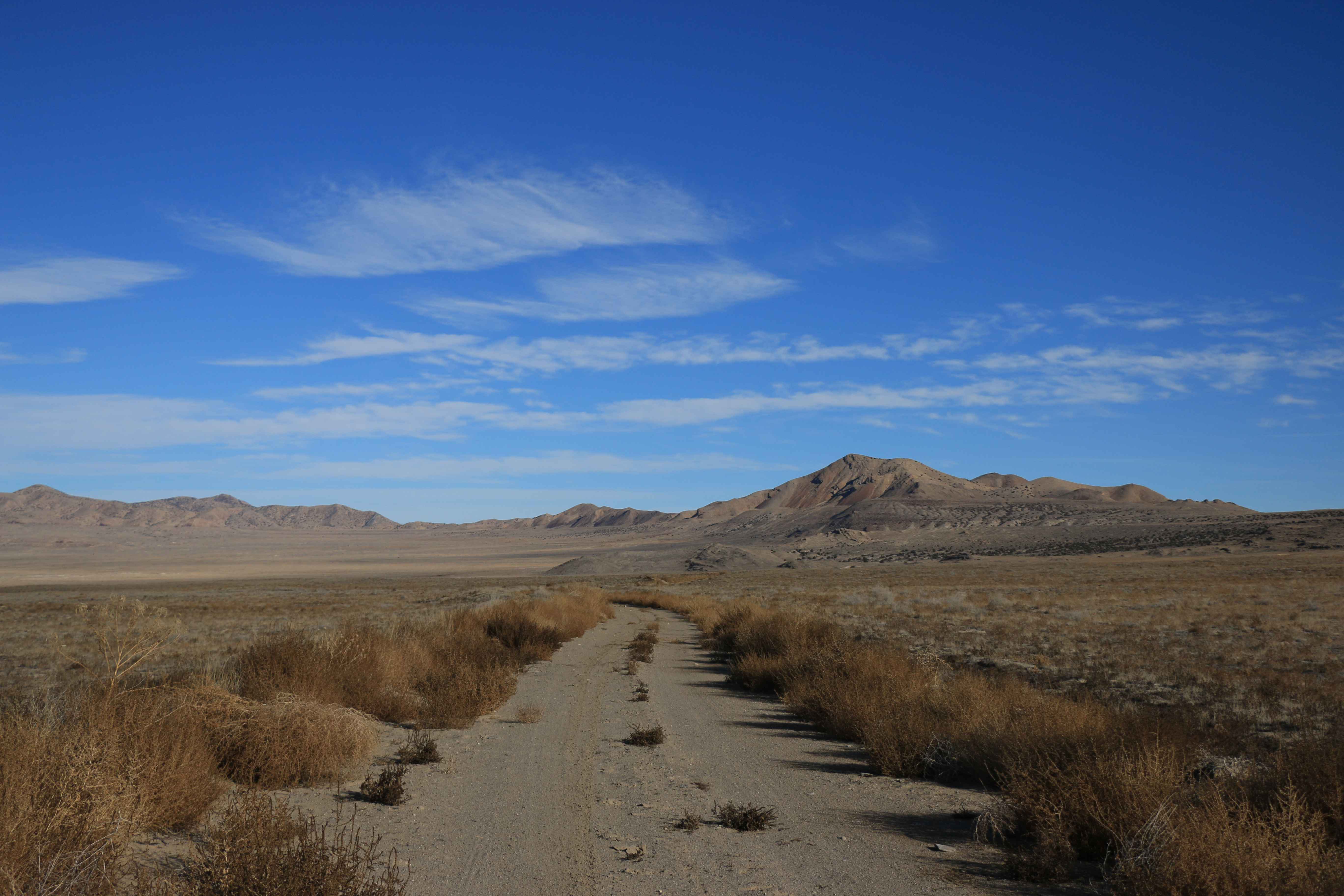
The Sovereign Single-track Trail is renowned for its challenging terrain, technical features, and breathtaking scenery, establishing itself as a premier destination for experienced dirt bikers. Due to its demanding nature, this trail is unsuitable for beginners, requiring a high level of skill and confidence. Stretching approximately 18 miles long, the trail typically takes around two hours to complete. While there are multiple entry points, the official route begins behind the gas station off Highway 191, north of Moab, and follows a south-to-north direction. The trail starts off fast and flowy along the Sovereign ATV loop/Sovereign single-track trail and at approximately mile 1.15, riders should make a sharp left and navigate through the rocky terrain, paying careful attention to the signage and arrows guiding them through Courthouse Wash and across Willow Springs Road (CR378) to the main trail pinch point. Well-marked with blue paint, the trail features various exits, including Link 3 and Lawson's Ledge, as well as alternate routes like the Saltwash Single-track Trail, Sovereign ATV Loop, and Copper Ridge 4WD route. Riders will encounter a range of technical challenges, including significant rock ledge obstacles and tight switchbacks, interspersed with faster, easier sections. The trail winds along the desert mesas, guiding bikers through rock pinches, descending rocky drops, and ascending challenging stair-step sections, highlighted by an impressive extended slab rock segment. At mile 10.3, just after crossing Dalton Wells Road (CR 142), riders can choose between the Sovereign bypass or continuing on the trail through Terry's Tunnel, an exciting and difficult section. The trail concludes at Klondike Bluffs Road (CR142). Overall, the Sovereign Single-track Trail offers a thrilling and challenging experience set against a stunning landscape. When combined with the Salt Wash Singletrack and Cedar Mountain, it creates an exhilarating loop. Riders are advised to minimize wheel spin when climbing steep sections or to ride them in the downhill direction. Please stay on the trail as this area is heavily used. No shortcuts or go-arounds.
Photos of Sovereign Singletrack
Difficulty
Riders will encounter a variety of obstacles, including steep off-camber ascents and descents, rocky sections, and sharp off-camber turns, all of which require precise handling, strength, and strategic navigation.
History
The Sovereign Trail system is named in honor of the Utah DNR that permits its use. This expansive network of trails, along with the nearby Dubinky/White Wash and Westwater/Utah Rims, is maintained by Ride with Respect, a 501(c)(3) nonprofit based in Moab, Utah. Ride with Respect aims to conserve shared-use trails and their surroundings through fieldwork, education, and advocacy for responsible recreation opportunities. For more information or to learn how to get involved, please contact them at http://www.ridewithrespect.org.
Status Reports
Sovereign Singletrack can be accessed by the following ride types:
- Dirt Bike
Sovereign Singletrack Map
Popular Trails
Direct Shot
The onX Offroad Difference
onX Offroad combines trail photos, descriptions, difficulty ratings, width restrictions, seasonality, and more in a user-friendly interface. Available on all devices, with offline access and full compatibility with CarPlay and Android Auto. Discover what you’re missing today!