Smith Canyon Access (FS# 41190)
Total Miles
1.4
Technical Rating
Best Time
Spring, Summer, Fall
Trail Type
High-Clearance 4x4 Trail
Accessible By
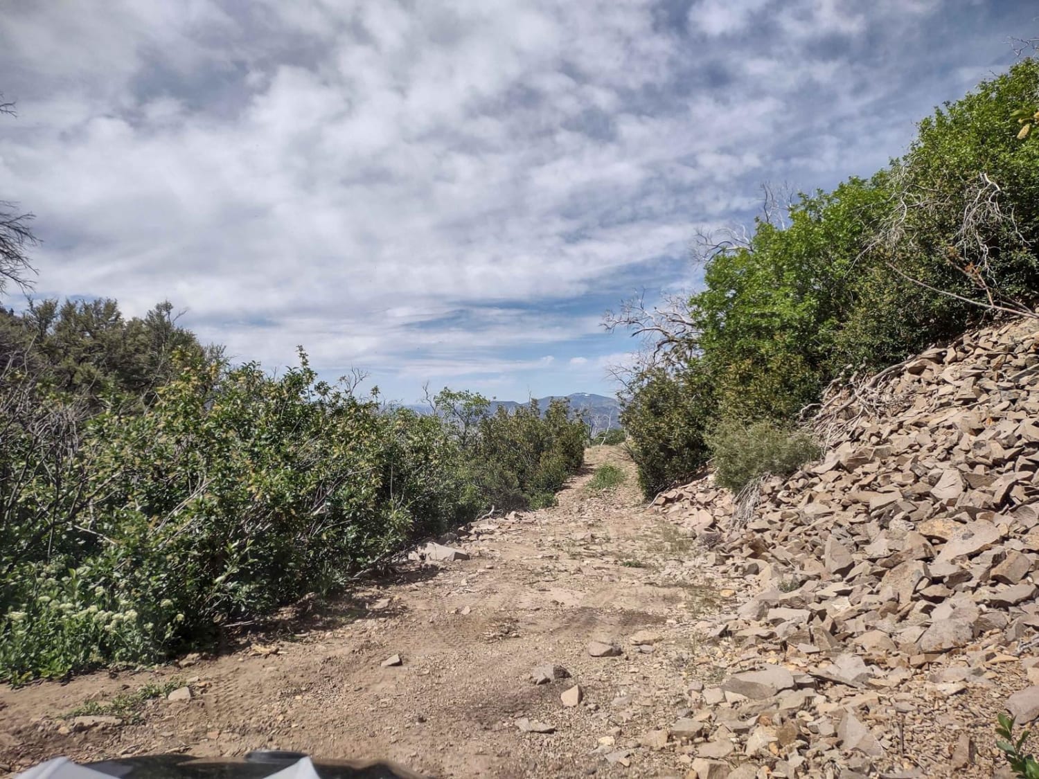
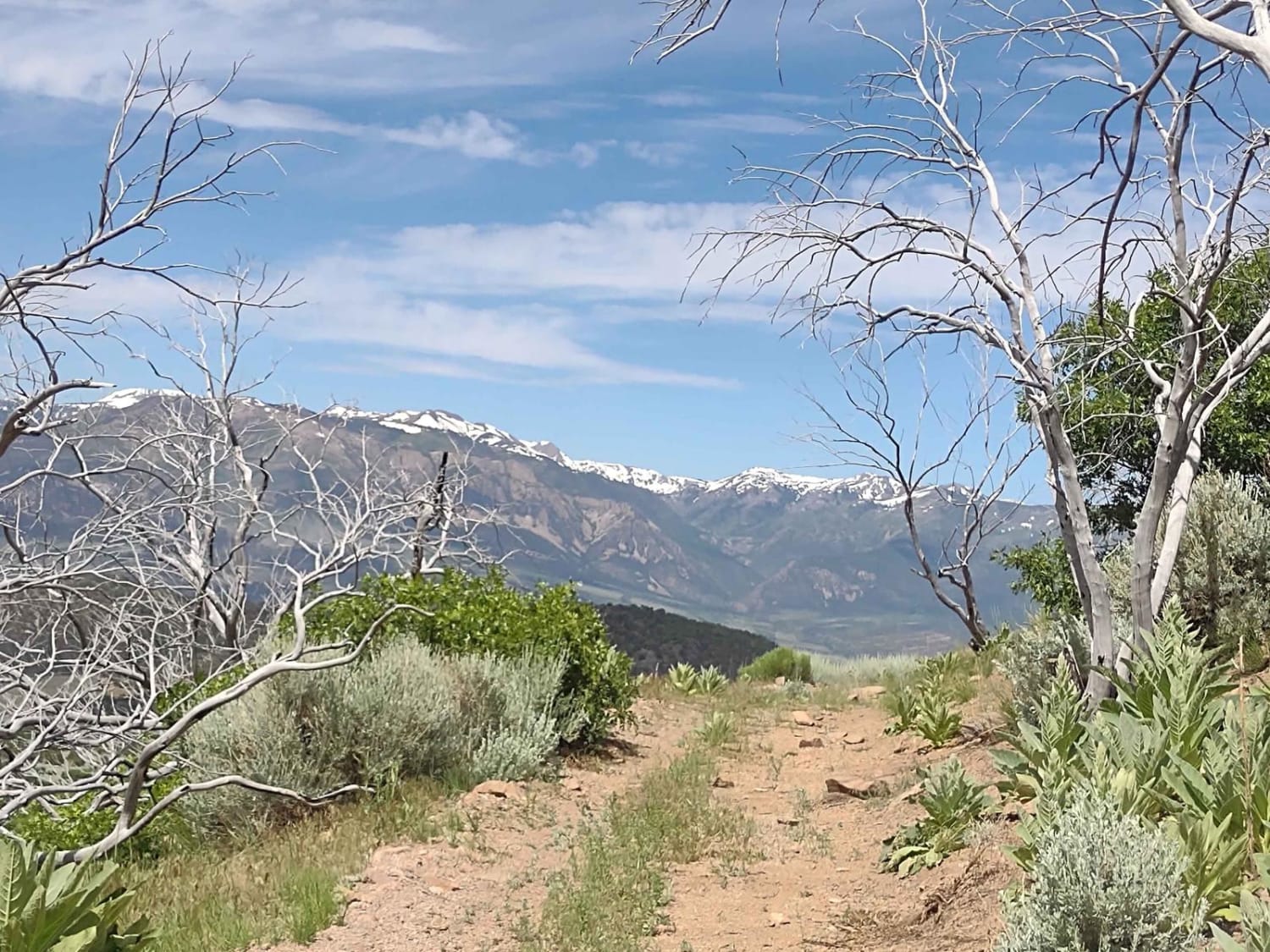
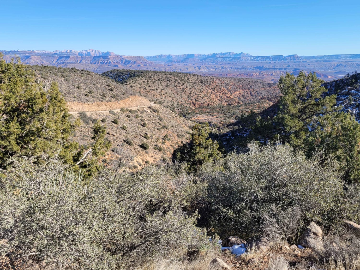
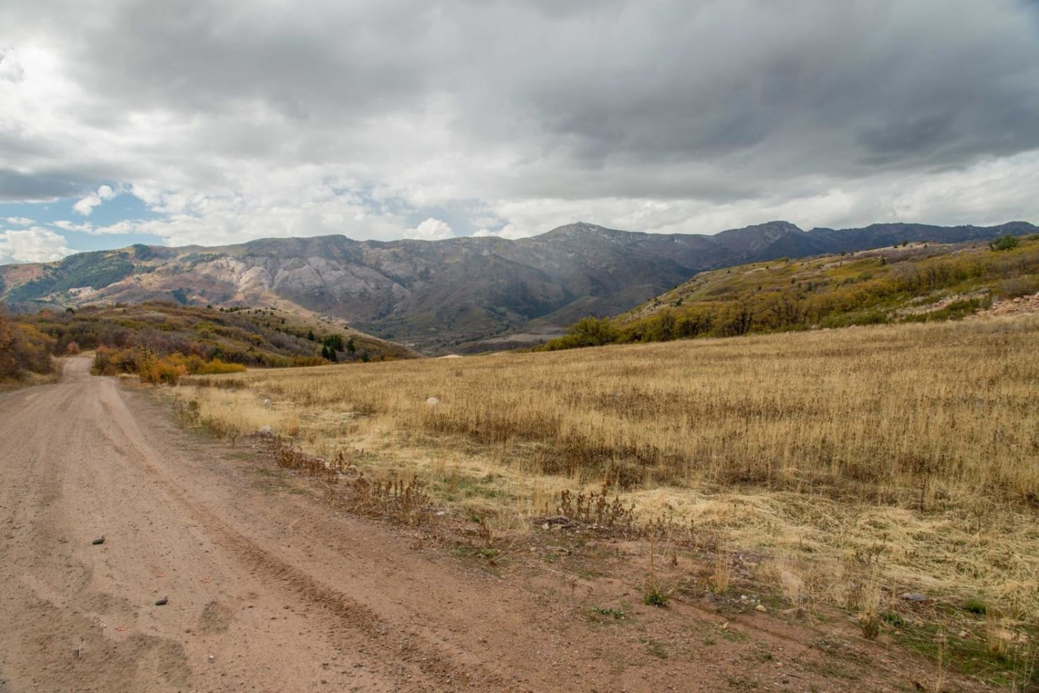
Trail Overview
Smith Canyon sits in the shadow of Miners Ridge in the Fishlake National Forest. The trail ends at just under 8000 feet, and you can hike up through the canyon or to the top of the ridge. The views are spectacular, the wildlife possibilities are endless and pine trees and oak brush are plentiful. The trail is an easy trail. It's narrow across the north-south section, but our 72" SXS fits fine. There is room to turn around at the end of the trail, but not very many vehicles will fit there. If hiking with a group, you should park some of them along the trail where there are wide spots before you get to the end. In February of 2023, Utah began enforcement of a new law, which requires an online education course for all off-roaders. The free course is available online. Google "Utah OHV Education Course," and the free test will pop up. It's an easy test that will only take 15-30 minutes, and it's required for all off-roaders, Jeeps, SXSs, dirt bikes, and ATVs. Kids under the age of 18 will have to take the Youth Education Test at the same site. After completing the test, print out the certificate to carry with you which shows you completed the course. We have taken it, and it's really no big deal. Good reminders about trail etiquette and trail preservation.
Photos of Smith Canyon Access (FS# 41190)
Difficulty
There are loose rocks and dirt as you move up to the top of the trail, but nothing difficult.
Status Reports
Smith Canyon Access (FS# 41190) can be accessed by the following ride types:
- High-Clearance 4x4
- SxS (60")
- ATV (50")
- Dirt Bike
Smith Canyon Access (FS# 41190) Map
Popular Trails

Cottonwood Creek

Alternate GWT - FR129
Liberty Avon Road
The onX Offroad Difference
onX Offroad combines trail photos, descriptions, difficulty ratings, width restrictions, seasonality, and more in a user-friendly interface. Available on all devices, with offline access and full compatibility with CarPlay and Android Auto. Discover what you’re missing today!