Smelter Knolls Powerline Trail
Total Miles
9.7
Technical Rating
Best Time
Spring, Summer, Fall, Winter
Trail Type
Full-Width Road
Accessible By
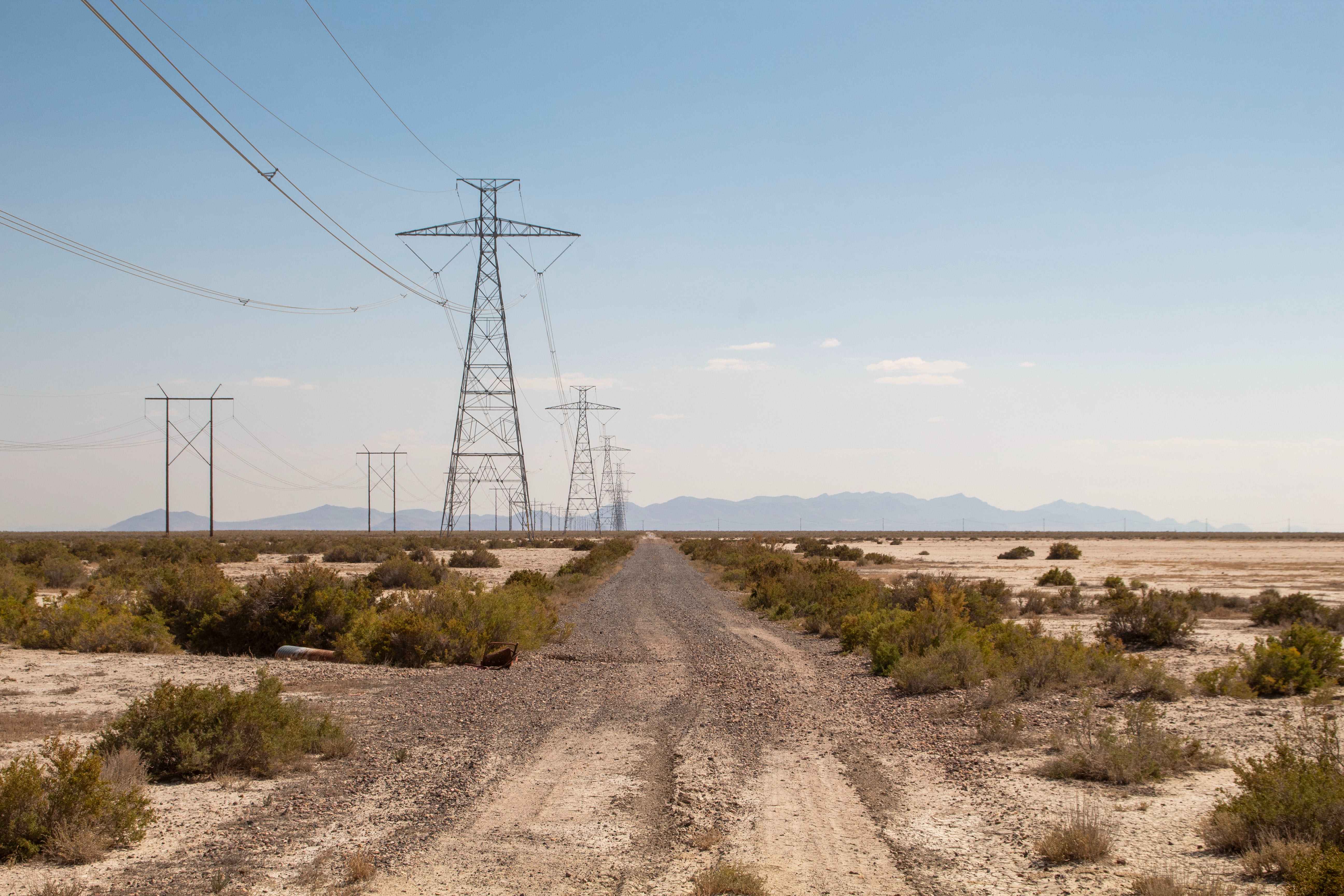
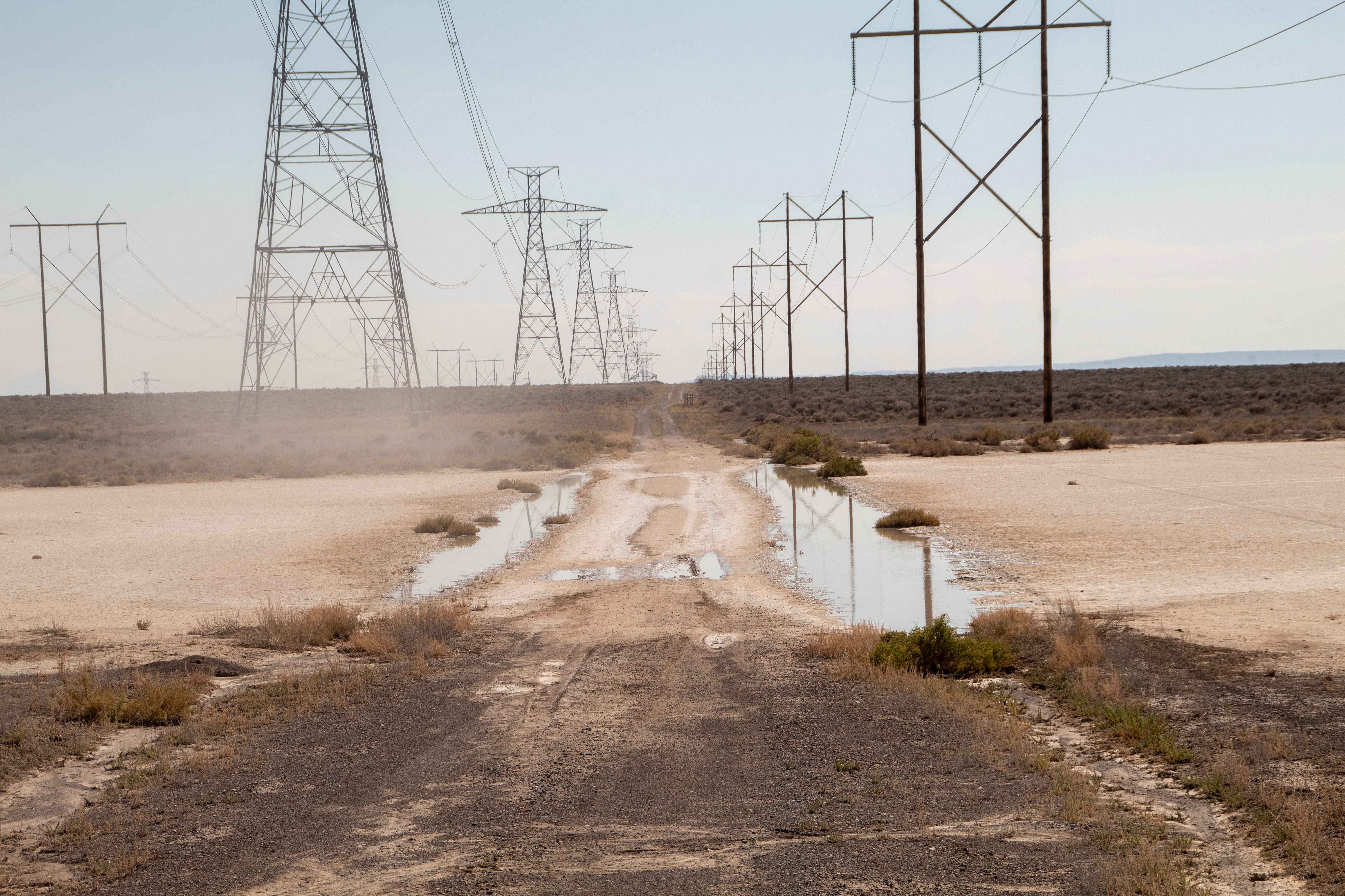
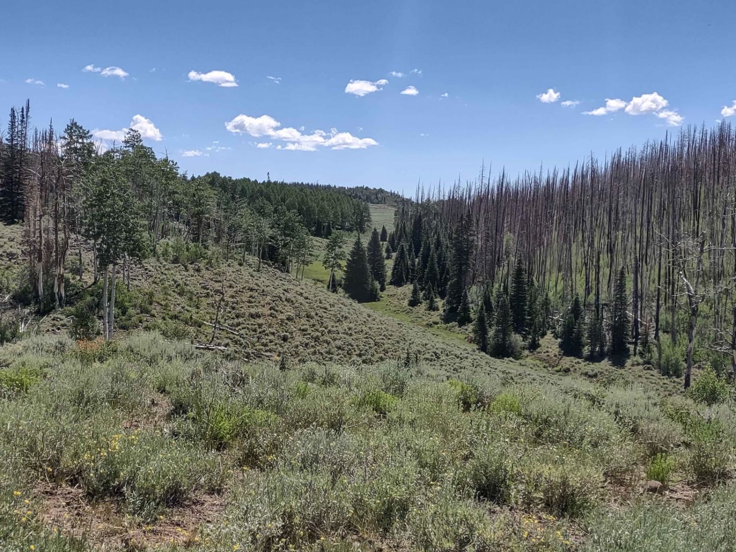
Trail Overview
This trail travels across the desert landscape, following the powerlines traveling across the open flats. This trail is mostly straight with few turns and it may be tempting to travel at a higher speed, but you must be extremely careful as there are washouts and potholes at points in the road that are near impossible to notice until you are at them which by that point it may be too late to stop if you are going too fast, as well as the trail being only one vehicle wide. This trail is open year-round but may be impassable during wetter periods due to it traveling across mud flats that, when wet, will be impassable.
Photos of Smelter Knolls Powerline Trail
Difficulty
Trail is one vehicle wide and has some washouts and potholes to look out for.
Status Reports
Smelter Knolls Powerline Trail can be accessed by the following ride types:
- High-Clearance 4x4
- SUV
- SxS (60")
- ATV (50")
- Dirt Bike
Smelter Knolls Powerline Trail Map
Popular Trails
Brindley Dairy (FS# 40160)

Indian Peak Trail - FS 40180
The onX Offroad Difference
onX Offroad combines trail photos, descriptions, difficulty ratings, width restrictions, seasonality, and more in a user-friendly interface. Available on all devices, with offline access and full compatibility with CarPlay and Android Auto. Discover what you’re missing today!