Slickrock Moab Overlook
Total Miles
0.2
Technical Rating
Best Time
Spring, Summer, Fall
Trail Type
Single Track
Accessible By
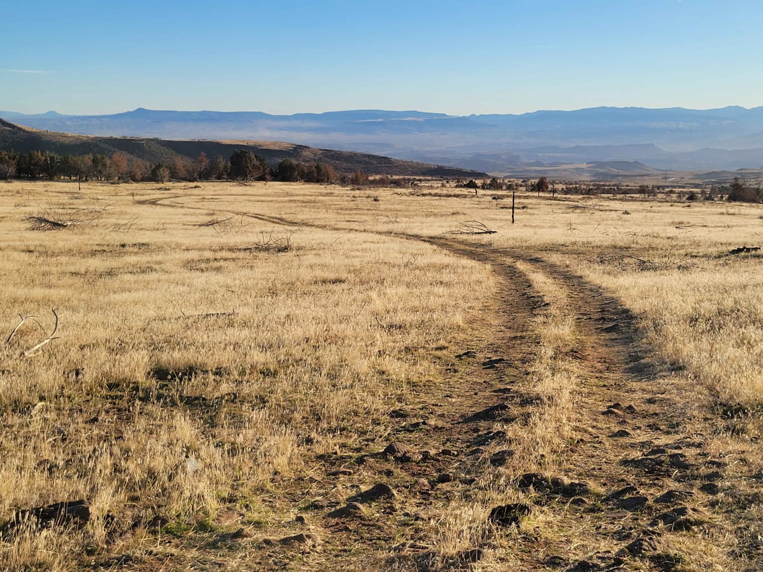
Trail Overview
Slickrock Moab Overlook is a short trail that breaks off from the Slickrock Main Loop near the southwest corner of the loop. The trail travels west along a rock ridgeline which is smooth and without obstacles. When you get to the end on your bike, there isn't much of a view. You'll have to dismount and hike 50 feet (slightly uphill) to get views of Moab and the Colorado River. The views are worth the walk, though!
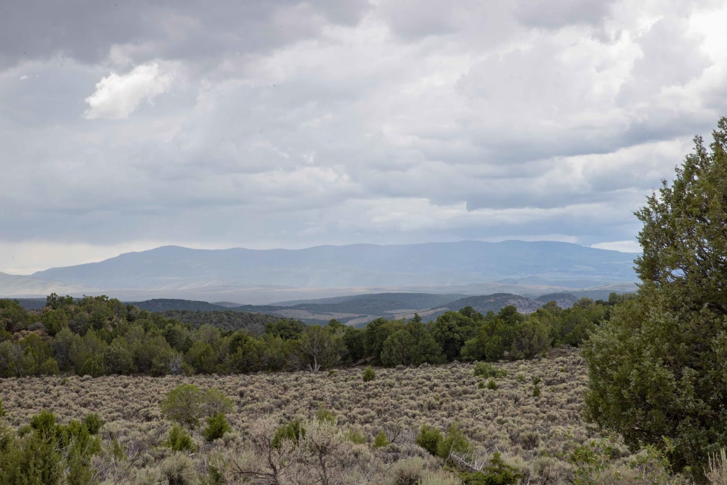
Photos of Slickrock Moab Overlook


Difficulty
There are no major obstacles but some walking/hiking is required at the end to get the full view of town.
Status Reports
Slickrock Moab Overlook can be accessed by the following ride types:
- Dirt Bike
Slickrock Moab Overlook Map
Popular Trails
Rex's Reservoir to Lost Creek Road
Cedar Bench Trail

Ripple Valley Road 2.0

The onX Offroad Difference
onX Offroad combines trail photos, descriptions, difficulty ratings, width restrictions, seasonality, and more in a user-friendly interface. Available on all devices, with offline access and full compatibility with CarPlay and Android Auto. Discover what you’re missing today!