Cottonwood East
Total Miles
2.6
Technical Rating
Best Time
Spring, Summer, Fall, Winter
Trail Type
50" Trail
Accessible By
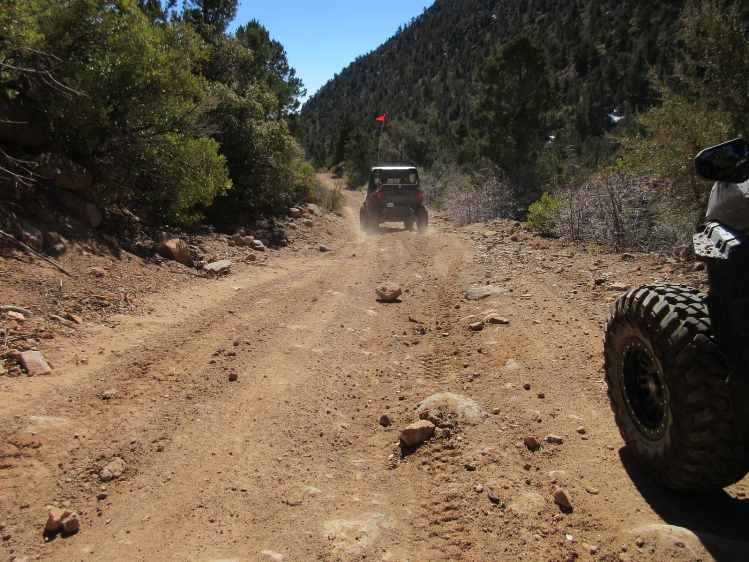
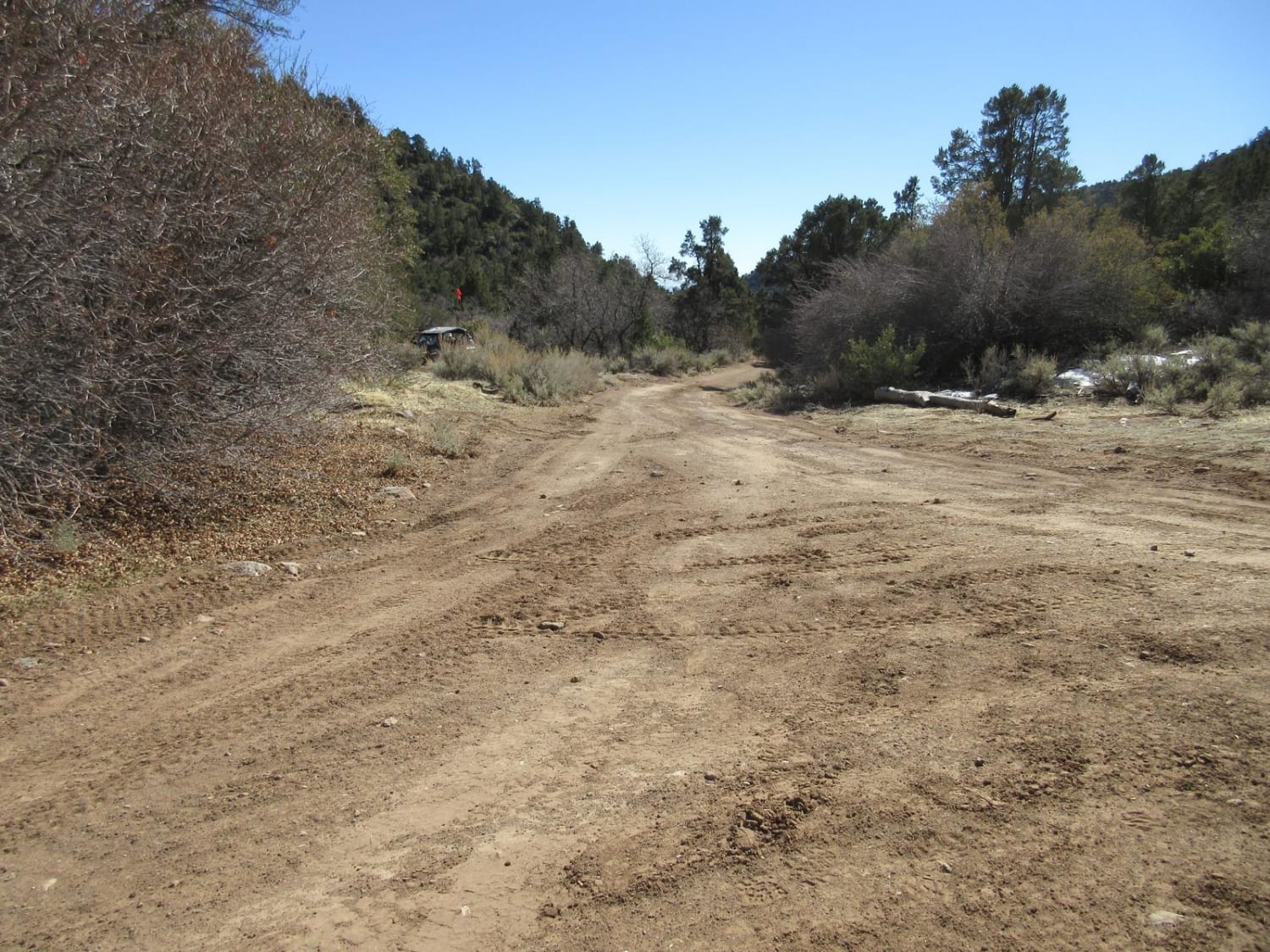
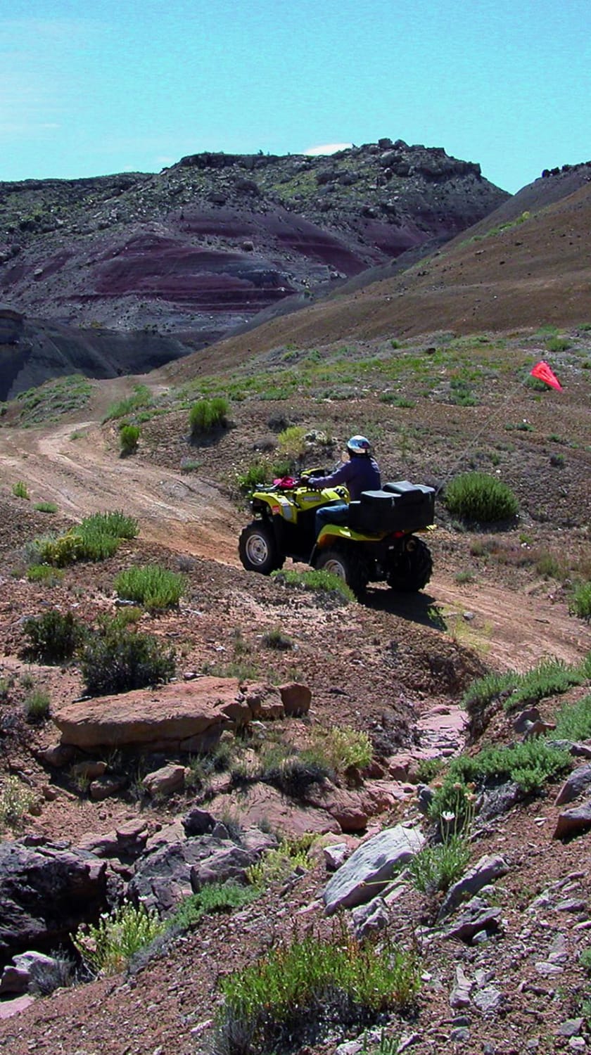
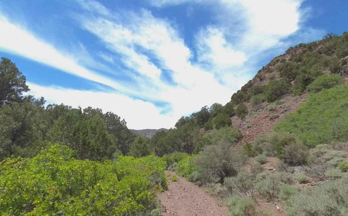
Trail Overview
The first part of this trail is relatively easy, but it does narrow on the second half as you climb up the canyon. At the end you stop right next to a large pipe that is carrying significant water from a spring on up the valley. You can tell how much water flowed from the area by the size of the old creek bed adjacent to the trail. A fun diversion with a hike at the end.
Photos of Cottonwood East
Difficulty
The trail is single width and narrow in spots. You will climb some rocky ridges and turning around at the end is a challenge for a two-place UTV. The second half of the trail is much more challenging. Like all trails at this elevation, it can be challenging after a snow or rain storm. The trail can become very muddy in spots.
Status Reports
Cottonwood East can be accessed by the following ride types:
- ATV (50")
- Dirt Bike
Cottonwood East Map
Popular Trails
Patton's Boot
Poverty Gulch Overlook
Crystal Geyser
Chloride Canyon
The onX Offroad Difference
onX Offroad combines trail photos, descriptions, difficulty ratings, width restrictions, seasonality, and more in a user-friendly interface. Available on all devices, with offline access and full compatibility with CarPlay and Android Auto. Discover what you’re missing today!