Salt Valley Road Connector
Total Miles
5.4
Technical Rating
Best Time
Spring, Summer, Fall, Winter
Trail Type
Full-Width Road
Accessible By
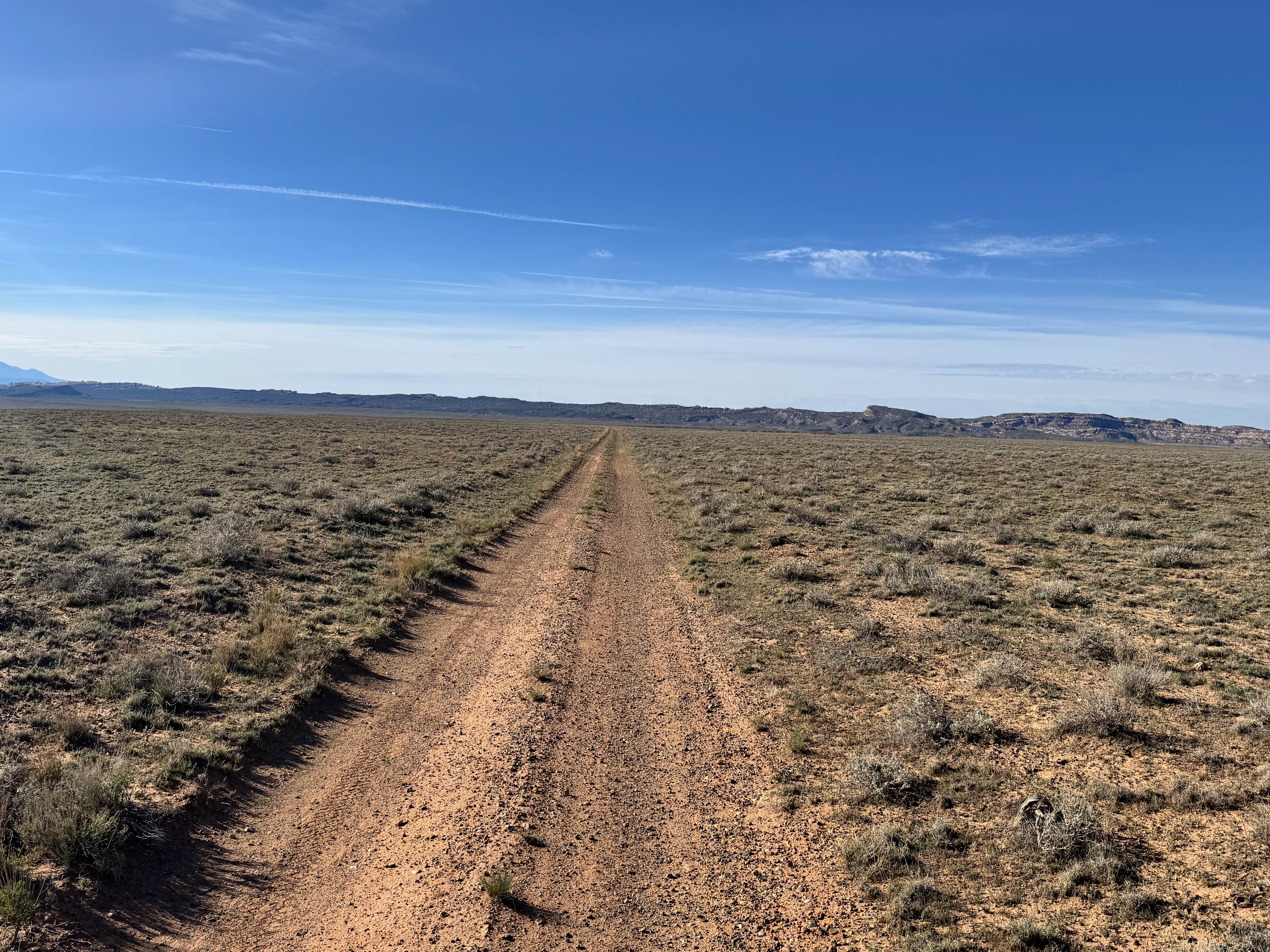
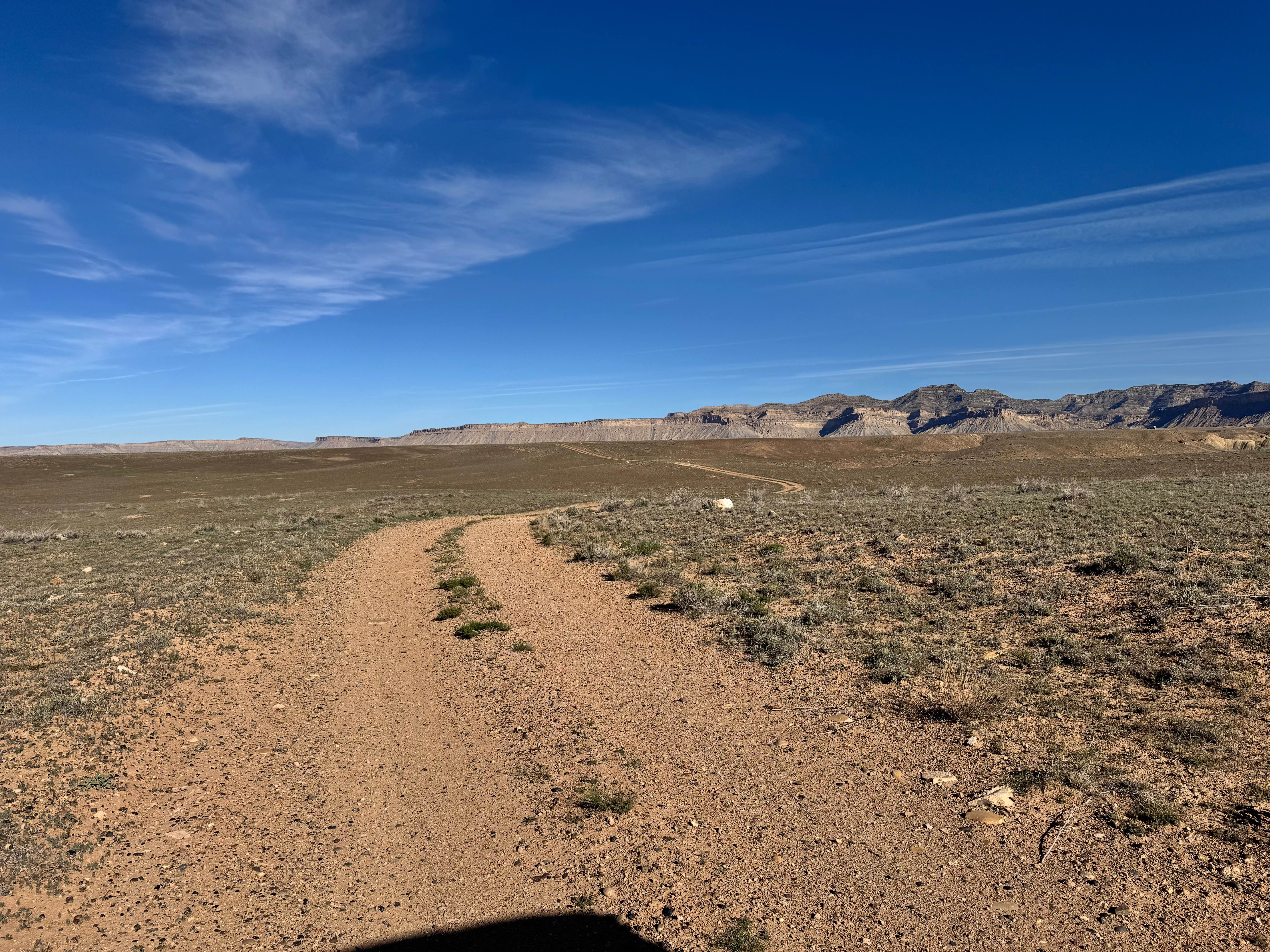
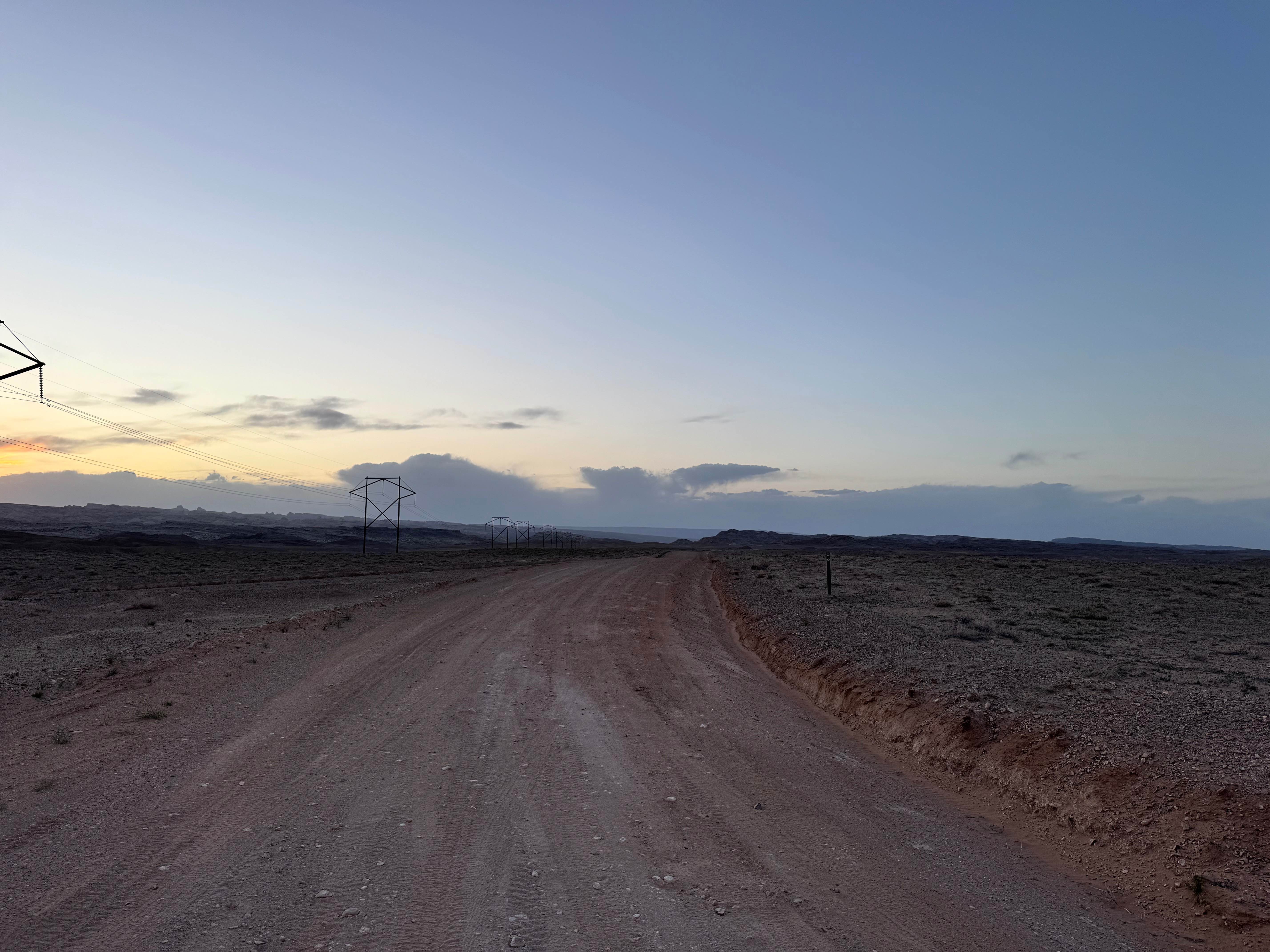
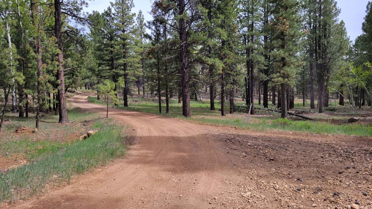
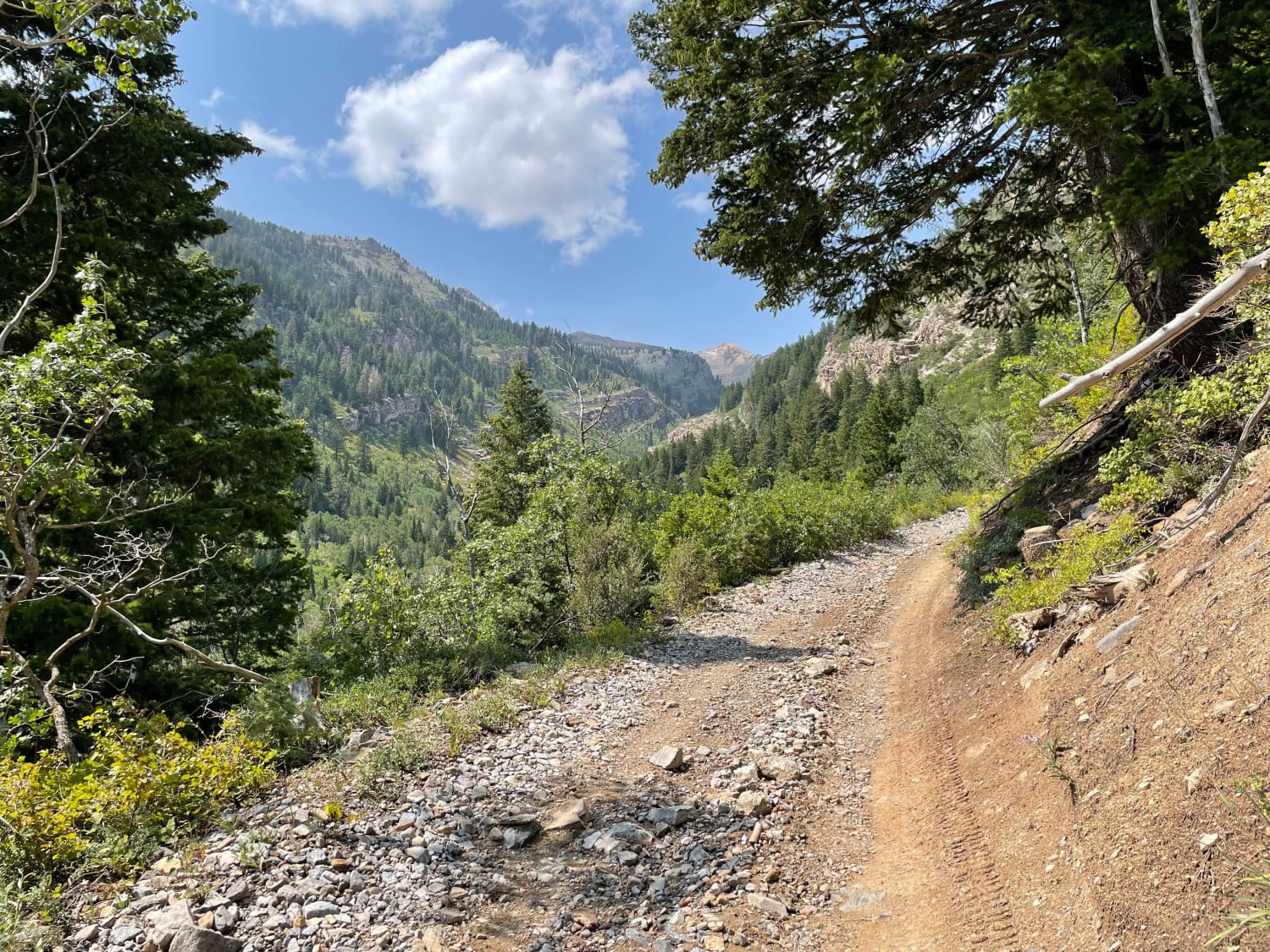
Trail Overview
Non-Resident OHV permits apply to ATVs, UTVs, and dirt bikes. Plated street-legal vehicles typically do not need one on legal motorized routes. This route changes character as you travel, beginning as a fairly maintained road on the north end before gradually becoming rougher and less maintained farther south. The easier northern section allows for a more relaxed drive, while the southern miles feel more remote and require greater attention to the trail surface. This area remains active, open ranching, so drivers should stay alert for cows on or near the road, as well as the occasional cow pie left in the travel lane. Several smaller washouts are scattered along the route and may seem minor at first, but ongoing traffic and seasonal water erosion can deepen them over time and increase the challenge.
Photos of Salt Valley Road Connector
Difficulty
This route starts fairly maintained and gradually becomes rougher as you travel south. Smaller washouts and declining road maintenance add some challenge, but there are no major technical obstacles described.
Status Reports
Salt Valley Road Connector can be accessed by the following ride types:
- High-Clearance 4x4
- SUV
- SxS (60")
- ATV (50")
- Dirt Bike
Salt Valley Road Connector Map
Popular Trails
Smith Camp Road
Mesa Top Cut-Across
Tommy Loop Access
Mary Ellen Gulch
The onX Offroad Difference
onX Offroad combines trail photos, descriptions, difficulty ratings, width restrictions, seasonality, and more in a user-friendly interface. Available on all devices, with offline access and full compatibility with CarPlay and Android Auto. Discover what you’re missing today!