Salt Valley Gorge
Total Miles
14.7
Technical Rating
Best Time
Spring, Summer, Fall, Winter
Trail Type
Full-Width Road
Accessible By
Trail Overview
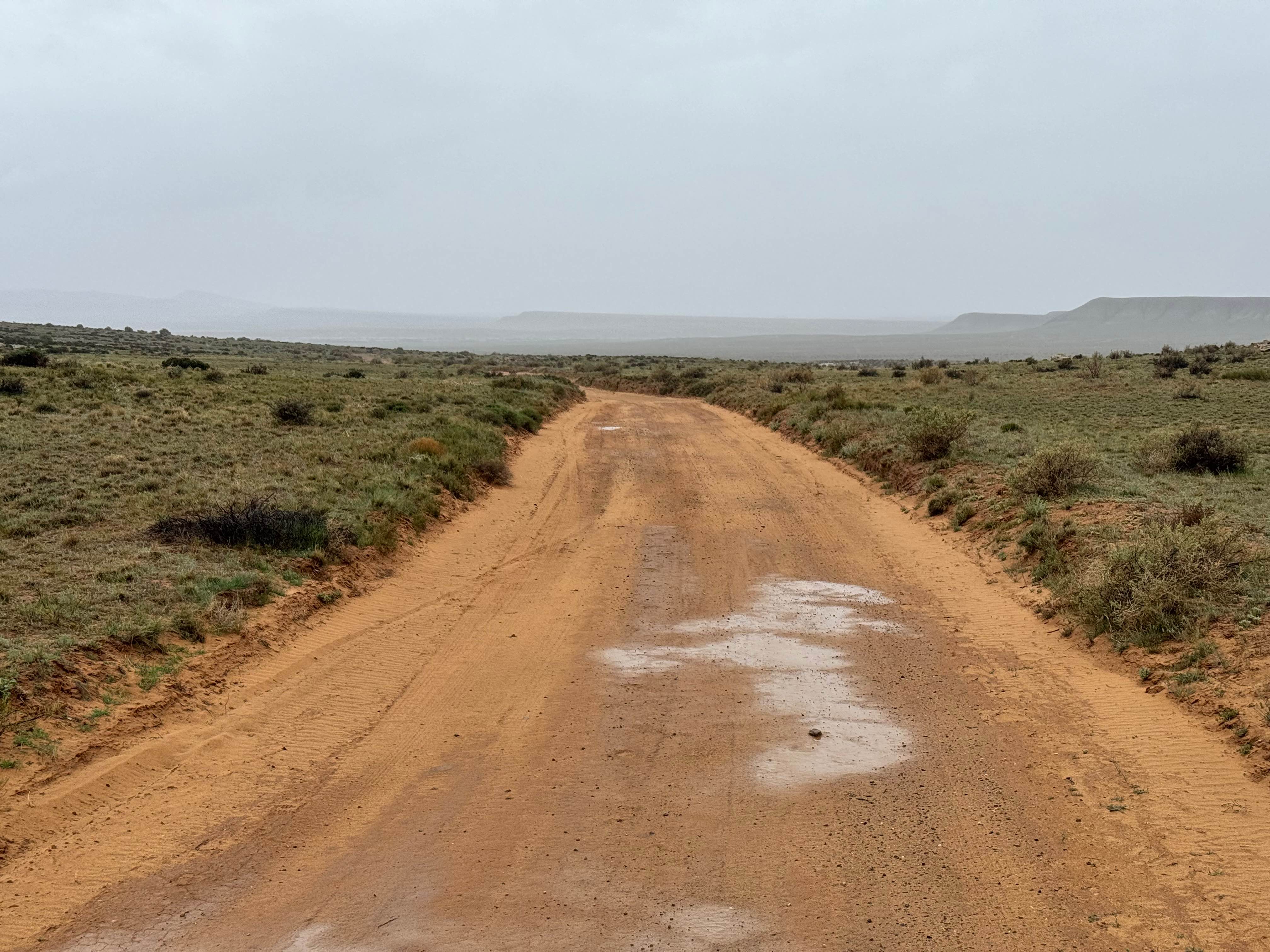
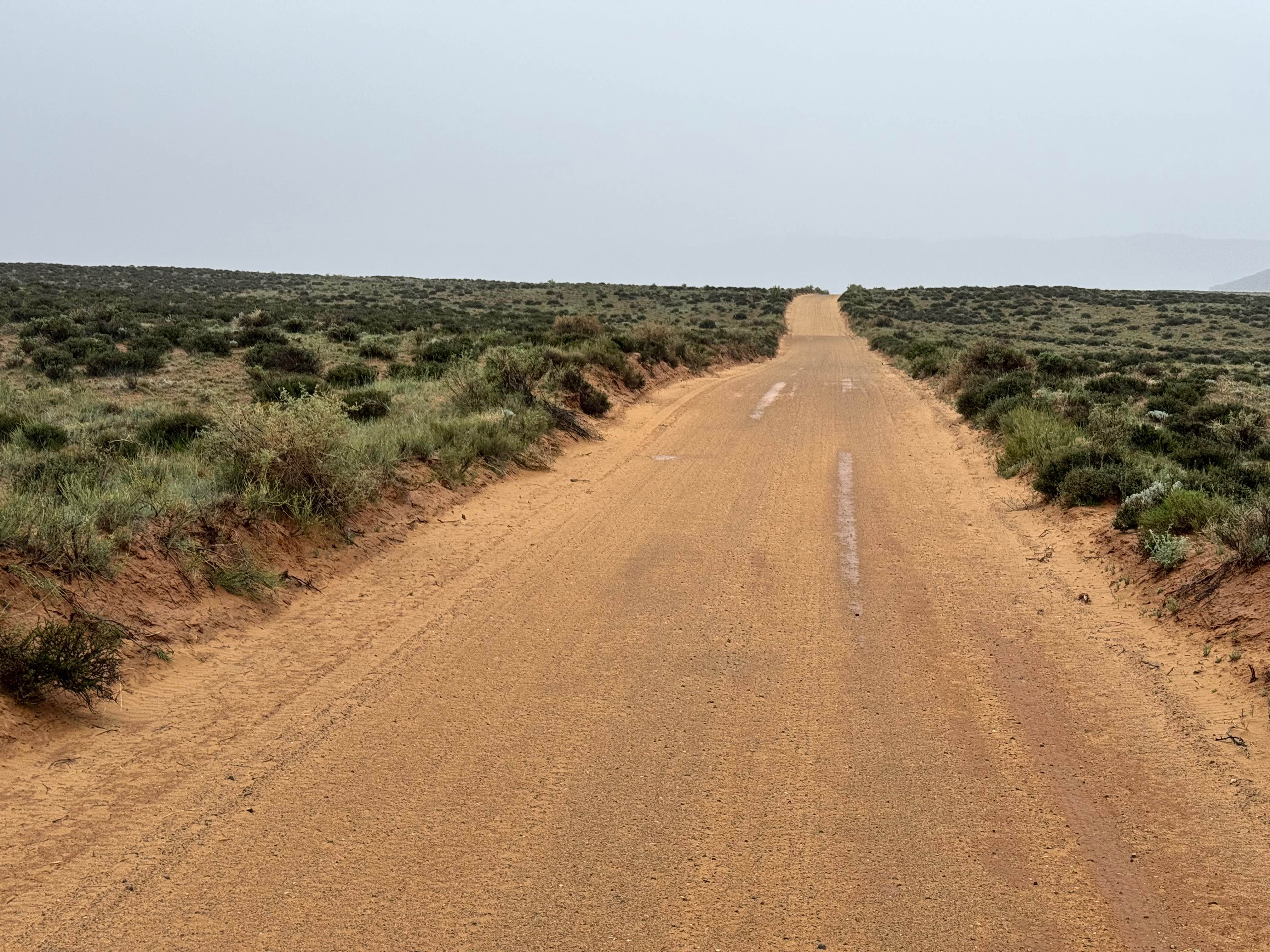
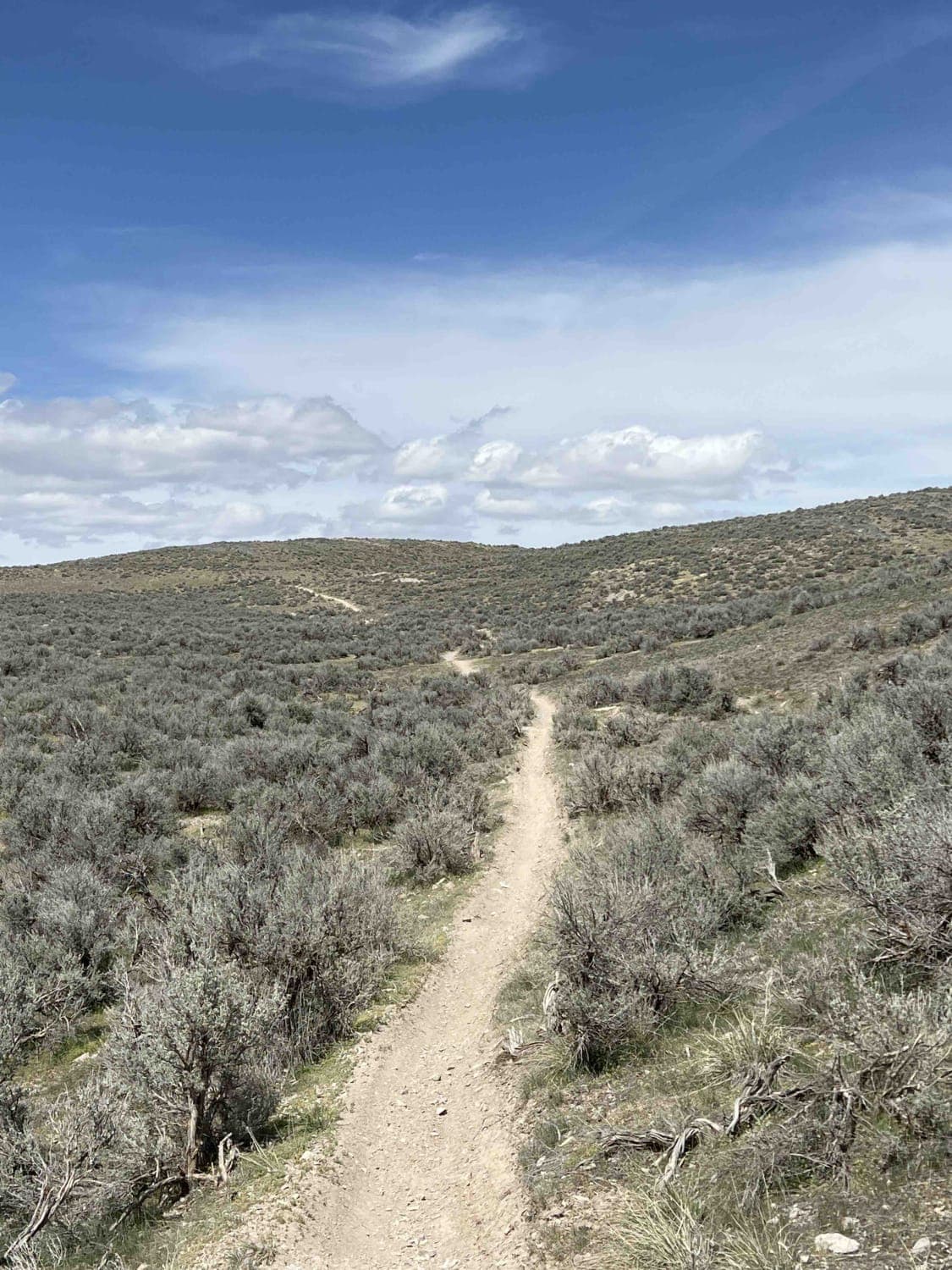
Non-Resident OHV permits apply to ATVs, UTVs, and dirt bikes. Plated street-legal vehicles typically do not need one on legal motorized routes. Salt Valley Gorge Road is a maintained BLM route that begins off Highway 191 and heads east into the broader Yellow Cat region, an area known for its uranium mining history during the 1950s boom. The road is primarily a sandy dirt surface and is generally easy to travel in dry conditions, making it a great scenic connector for exploring the surrounding desert. Along the drive, travelers are rewarded with distant views of the north side of Arches National Park, the La Sal Mountains, and Fisher Towers. As the route passes through Little Valley and toward Yellow Cat Flats, the scenery shifts into colorful badlands featuring red and gray clay hills, eroded formations, and wide open desert vistas. Wildlife sightings can include foxes and antelope, and scattered mining remnants add to the sense of history. Avoid traveling this road in wet or soggy weather, as the clay mud becomes extremely slick. Some wet-looking sections may not hold standing water, but they can still cause your vehicle to slide as if driving on ice.
Photos of Salt Valley Gorge
Difficulty
Salt Valley Gorge is a 2 vehicle-wide maintained BLM road that is typically straightforward in dry conditions and suitable for most vehicles, including 2WD. The sandy dirt surface is generally smooth with only minor roughness or washboard possible, depending on recent maintenance and traffic. Navigation is simple, and technical obstacles are minimal. The primary challenge is the weather. When wet, the clay-based sections can become extremely slick and unpredictable, causing loss of traction and handling similar to driving on ice. Avoid travel after rain or during soggy conditions. In dry weather, this is an easy scenic route with light difficulty.
History
The Yellow Cat region became active during the uranium boom of the 1950s, when prospectors and mining companies searched the area for ore used during the early nuclear era. Many roads in the area were improved or created to access claims, and scattered remnants of that history can still be found today.
Status Reports
Salt Valley Gorge can be accessed by the following ride types:
- High-Clearance 4x4
- SUV
- SxS (60")
- ATV (50")
- Dirt Bike
Salt Valley Gorge Map
Popular Trails
Dinosaur Quarry Road

Revenue Gulch to Rainbow Road
The onX Offroad Difference
onX Offroad combines trail photos, descriptions, difficulty ratings, width restrictions, seasonality, and more in a user-friendly interface. Available on all devices, with offline access and full compatibility with CarPlay and Android Auto. Discover what you’re missing today!