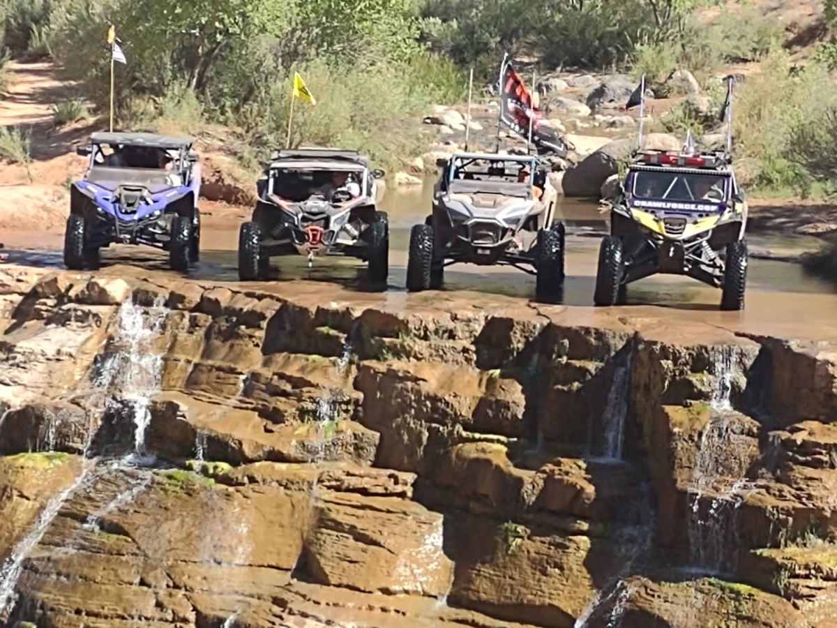
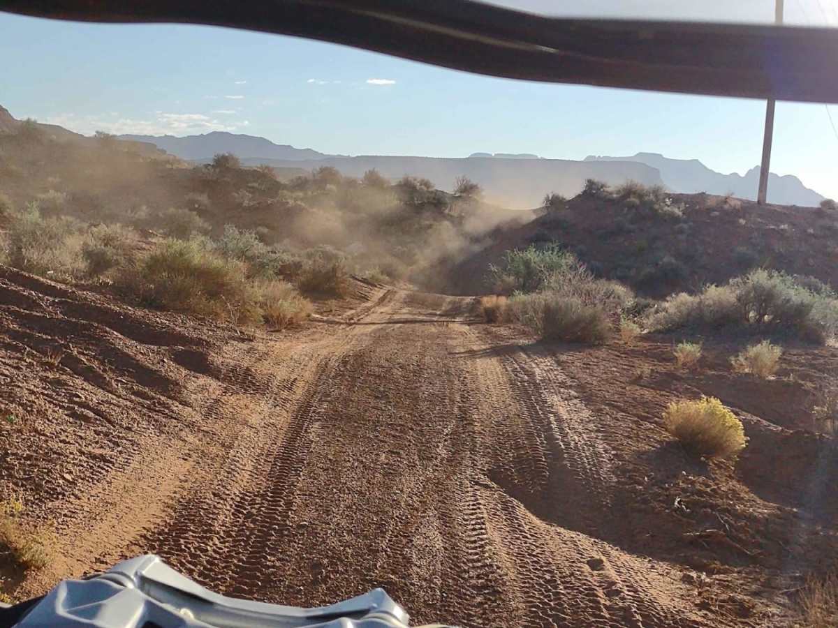
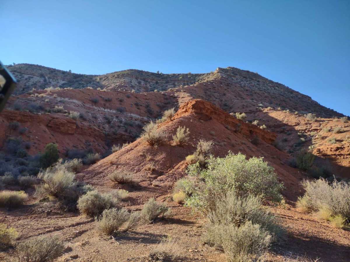
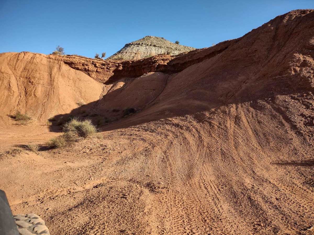
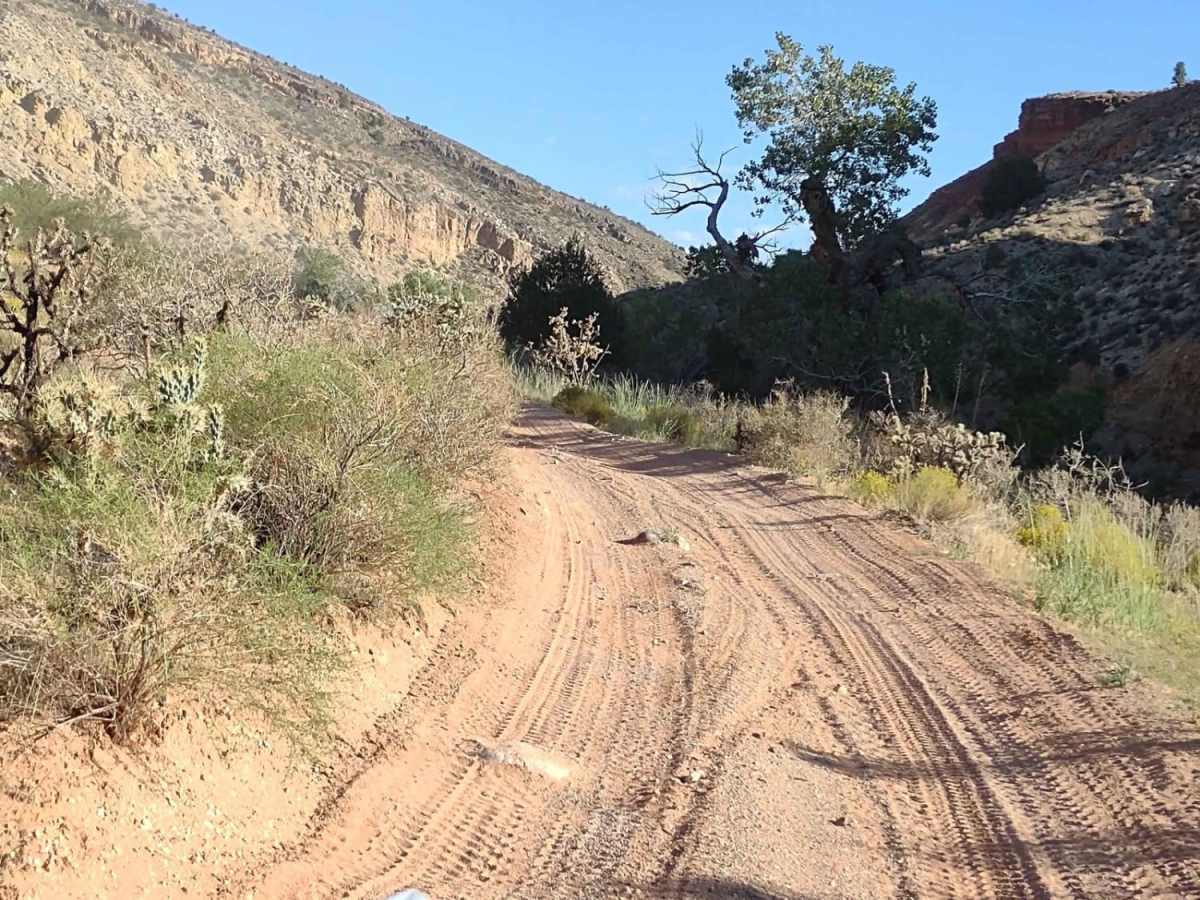
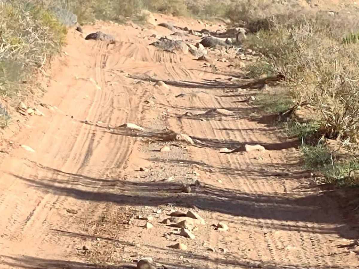
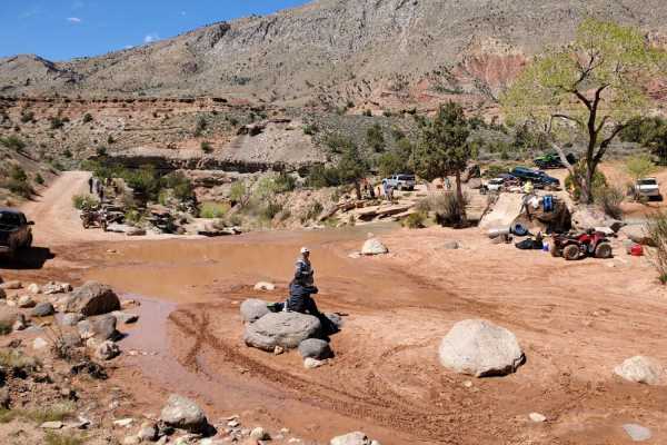
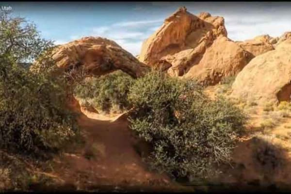
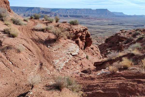
Rattlesnake Gulch to Toquerville Falls

Total Miles
6.5

Elevation

1,129.10 ft

Duration

4 Hours

Technical Rating

6

Moderate

Best Time

Spring, Summer, Fall

Trail Overview

A very challenging 6.4-mile trail that goes through the canyon, along Laverkin Creek, to the Toquerville Falls Trail, which takes you on to the Falls above Toquerville/Hurricane, UT. You cross the creek a minimum of 40 times, and there are places where you drive up through the creek. After a heavy rain, or in the springtime, these water crossings will be deep and fast. (Trail Rating of 7 would fit then.) There are big rocks, areas of erosion, and mud at some of the crossings. There is one roughly 6-foot vertical wall that you go down on your way up to the Falls, and you have to climb it on your way out. Our group had two YXZs, one Razor, and one CanAm. We had tires ranging from 30 to 35" and we all made it back up the wall. The 35" tires had the easiest time in the canyon. The others put their skid plates to the test in places. We labeled it a "dirt" adventure, but along the creek, it's mostly a "rock" and "water" adventure. The Falls is a favorite tourist spot, and it is accessible from a road, so it can get a bit crowded at the top, but only the truly adventurous will go through this canyon. The trail at the bottom is mostly dirt; at the top, it's mostly rocks. There is a little off-camber, but nothing too drastic. In most places, there is room to get over and let an oncoming vehicle pass. Photo opportunities abound all along the creek. If you bring your suit, you can swim in the creek right below the Falls or further down the canyon. Bring a picnic lunch to enjoy at the Falls.

Photos of Rattlesnake Gulch to Toquerville Falls

Rattlesnake Gulch to Toquerville Falls

Difficulty

Late in the fall, this trail is a 6. After a heavy rain or in the early spring, it could be a 7. There are lots of boulders, some slick rocks, areas of off-camber driving and a LOT of water crossings. There is one 6-foot vertical wall that you go down on your way up to the Falls, and you climb on your way back down the canyon. We had two YXZs, one Razor and one CanAm in our group, and our tires ranged from 30" to 35". We all made it up the vertical wall. The 35" tires were a big plus in this canyon; anything less tested their skid plates on a lot of rocks. Some of the water crossings are muddy, there are areas where you have to drive up the creek for a ways, and there are areas of erosion and off-camber driving. It's not really fair to say this is a dirt adventure, but primarily dirt/rock/water.

Technical Rating

6

Status Reports

Roy Ingram
Apr 06, 2024
SxS
Open
Rough/Deteriorated
Awesome trail! Snow melt hasn’t through heavy yet. Daughters rzr 570 made it no issues!
Jonathan Blood
Mar 12, 2024
4x4
Open
Rough/Deteriorated
The blue dot in the map image... this is as far as I could get in my vehicle and could not go any further. By myself, I wasn't able to complete this trail... it gets extremely rough in some places. Image 3 (with my dog) was where I ended it...
Conrad Beckstrand
Mar 10, 2024
4x4
Open
Normal
Trail was extremely fun for all in the group and was a good challenge for most. We had a 4 door Polaris Rzr 1000 on 32s, a stock 2 door Jeep JL rubicon on 33s, a 4 door Jeep Jk sport on 35s and a Jeep Gladiator rubicon on 37s. The first 1/3 of the trail is easy dirt trail, not bad at all. When the trail starts crossing the river and/or driving up the river is when it gets difficult. The Gladiator and RZR had the least amount of trouble. The RZR scrapped bottom a lot but was able to navigate around the bigger stuff relatively easily. The Gladiator had difficulties making it around some of the tighter turns and larger boulders but with time we were able to make it work. It also hit the hitch receiver a fair amount, a rocker guard and either the diff or skid plate once. No damage though. Both the JK and JL became high centered and the jk had to be winched off the rocks. Both scraped diffs, hit bumpers, skids, and rockers. No major damage though. I would highly recommend the trail. Super fun and very pretty.
Toyo Tundy
Mar 01, 2024
4x4
Open
Normal

Access Description

From State Street in Hurricane, go towards Virgin, UT, on East 500 North (Highway 9), to the Rattlesnake Gulch Trail. You can stage near the Valley Gun Club where Hwy 9 intersects with Rattlesnake Gulch. Follow this track to the Toquerville Falls Trail, and then go right, up that trail to the Falls.

Popular Trails

Go Farther

Try onX Offroad Elite for free for a week — no strings attached. Get access to thousands of off-road dirt trails and snowmobile trails across the nation. View your favorite zones in 3D. Send trails to friends. Start planning the trip of a lifetime now.