Overlook Trail Part 2
Total Miles
2.6
Technical Rating
Best Time
Fall, Spring
Trail Type
Single Track
Accessible By
Trail Overview
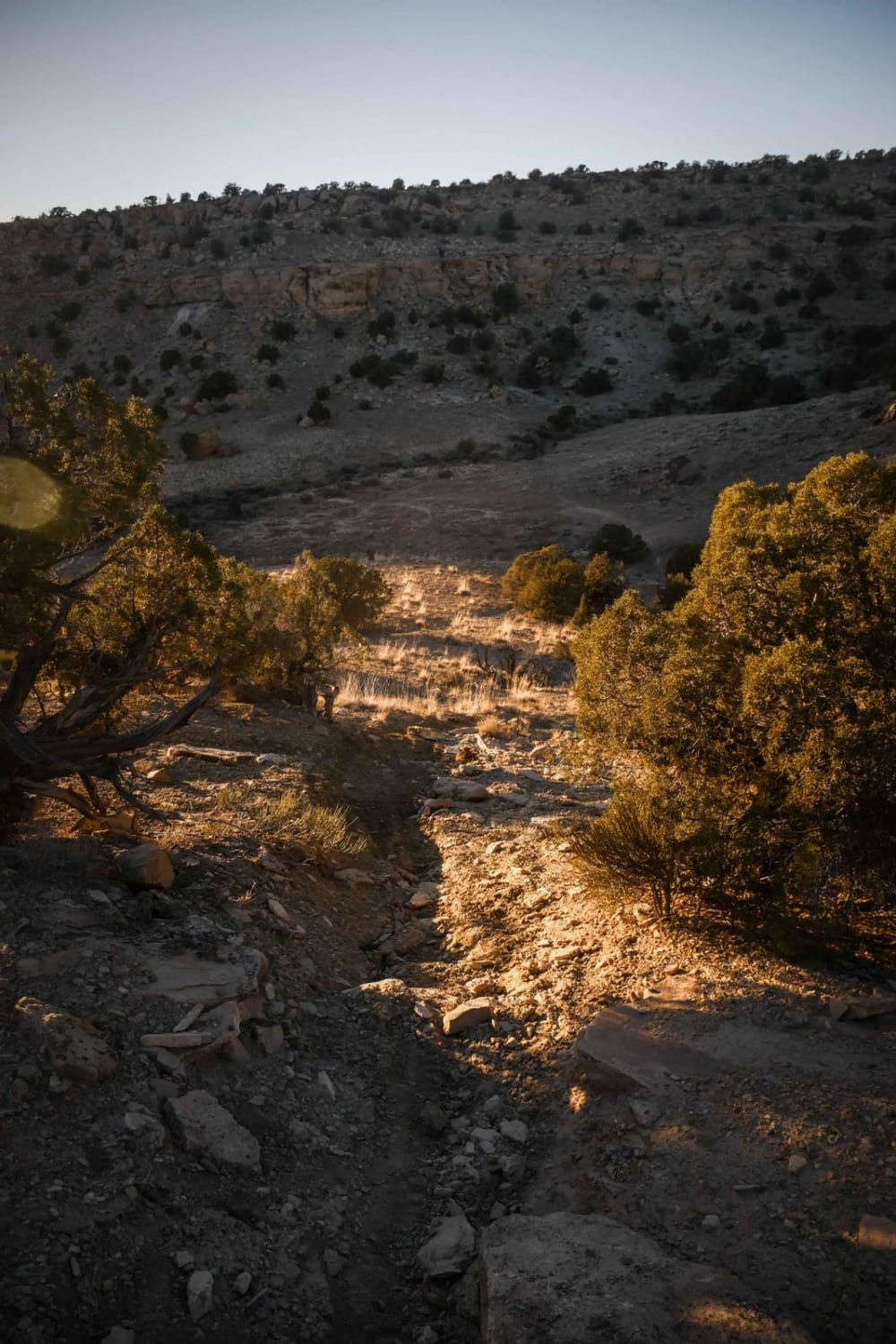
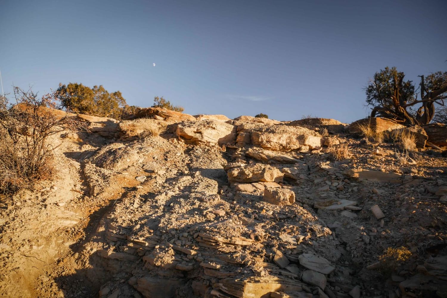
This southern section of the Overlook trail is more difficult than the northern section, with several loose rocky climbs and descents, more challenging rock ledges to get over, and an overall rockier surface. It departs from the canyon rim from the northern section and dips down into a valley that requires a steep, loose descent and tricky ascent back up to the neighboring canyon rim. The views are spectacular of the surrounding red canyons and river valleys. The southern end of this trail connects to other dirt bike single-track trails Arch Loop and Westwater Mesa Trail.
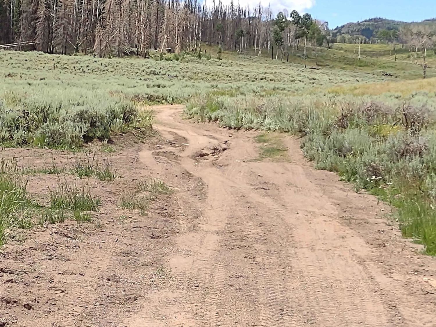
Photos of Overlook Trail Part 2
Difficulty
Steep and loose climbs make this trail a more challenging route.
Status Reports
Overlook Trail Part 2 can be accessed by the following ride types:
- Dirt Bike
Overlook Trail Part 2 Map
Popular Trails

Old Woman Power Line

South Duma Trail

Paiute Side Trail 53 (FS 41225)

FS 40439 Loop
The onX Offroad Difference
onX Offroad combines trail photos, descriptions, difficulty ratings, width restrictions, seasonality, and more in a user-friendly interface. Available on all devices, with offline access and full compatibility with CarPlay and Android Auto. Discover what you’re missing today!

