Exiting Manti Canyon
Total Miles
7.2
Technical Rating
Best Time
Summer, Fall
Trail Type
Full-Width Road
Accessible By
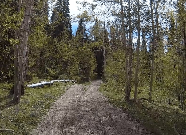
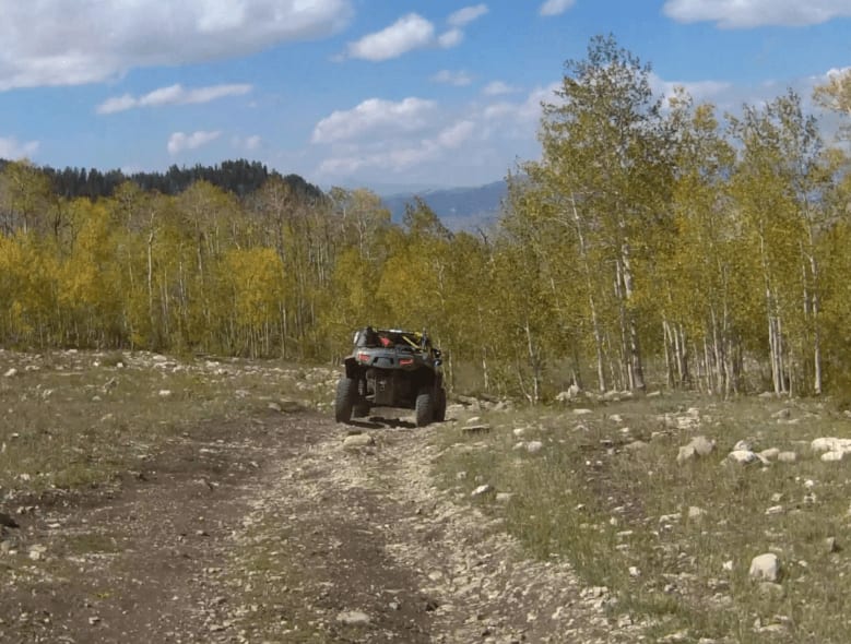
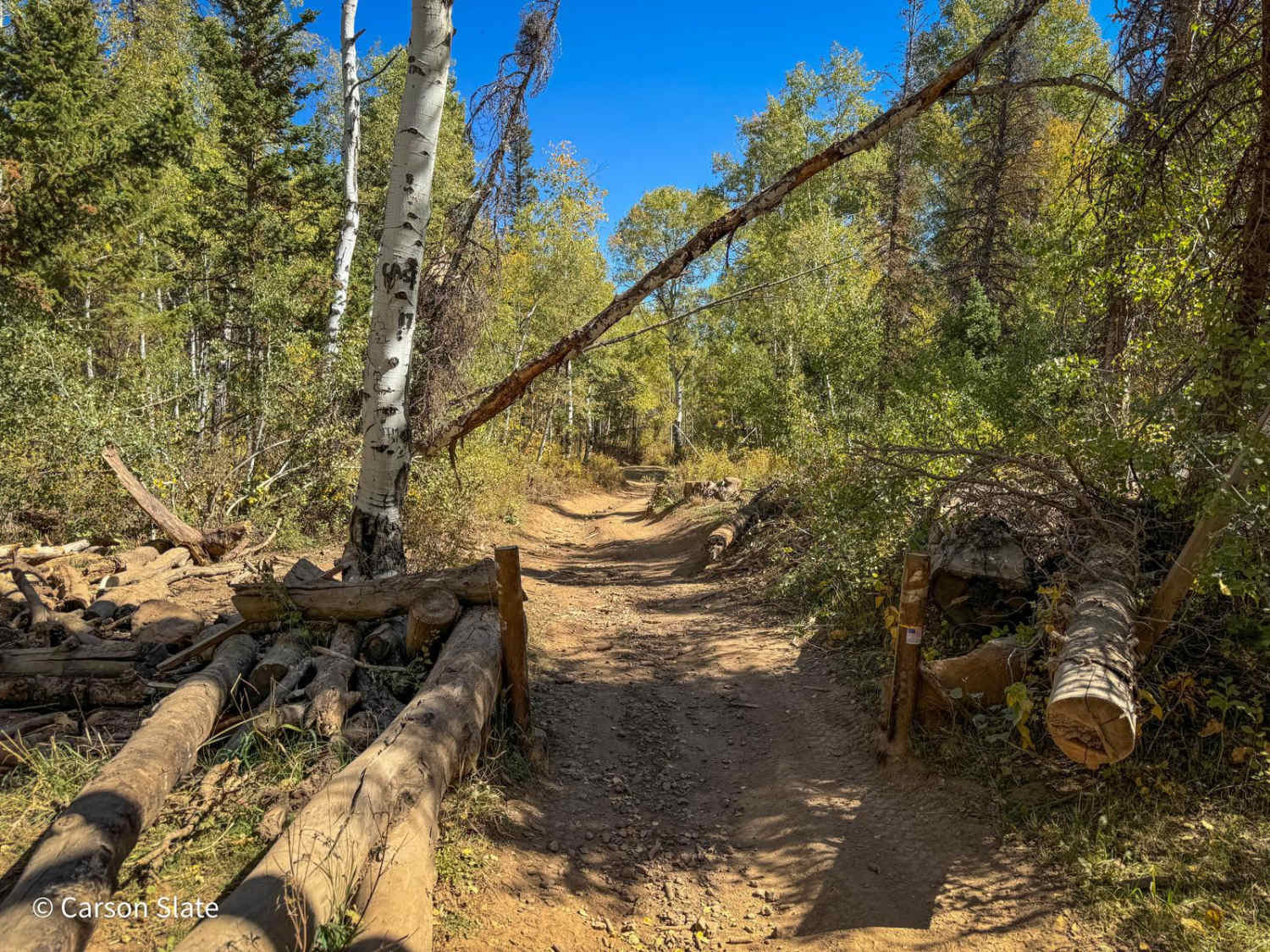
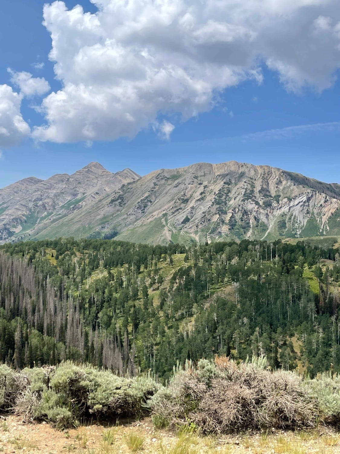
Trail Overview
This is a side trail that travels through the forest down from the intersection of Bench Road and Manti Cyn Road. It is wide enough for full-size SxSs and Jeeps. It does have an optional 66-inch gated section. The trail, while mostly downhill, does have several uphill rocky sections that appear just after some deep mud holes. Be sure to be in low gear and in 4-wheel drive and you will have no problem getting up the climb. While there are a few open areas that are good for lunch or breaks, most of this route is in the trees. At the end of the trail, you will have a great view of Manti and the Mormon Temple. From the start just off Bench Road to the end at State Route 89, the distance is just under 9 miles.
Photos of Exiting Manti Canyon
Difficulty
This trail is a solid 5 because of the many mud holes and short but steep climbs.
Exiting Manti Canyon can be accessed by the following ride types:
- High-Clearance 4x4
- SUV
- SxS (60")
- ATV (50")
- Dirt Bike
Exiting Manti Canyon Map
Popular Trails
Klondike Bluffs Trail
Public Grove ATV Trail
Twin Knolls/Big Swing

Kanarra Mountain Road
The onX Offroad Difference
onX Offroad combines trail photos, descriptions, difficulty ratings, width restrictions, seasonality, and more in a user-friendly interface. Available on all devices, with offline access and full compatibility with CarPlay and Android Auto. Discover what you’re missing today!