Rattlesnake Hill
Total Miles
2.8
Technical Rating
Best Time
Spring, Summer, Fall
Trail Type
Full-Width Road
Accessible By
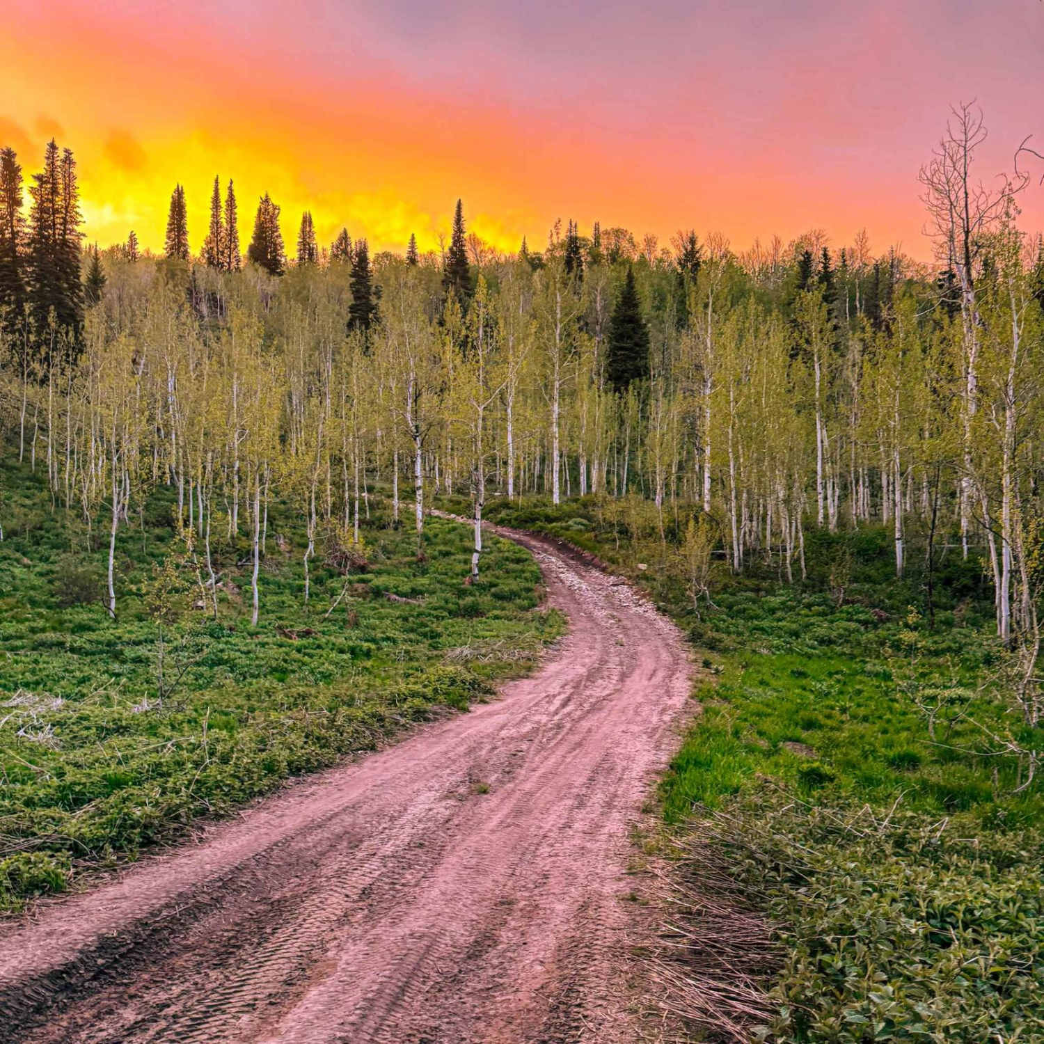
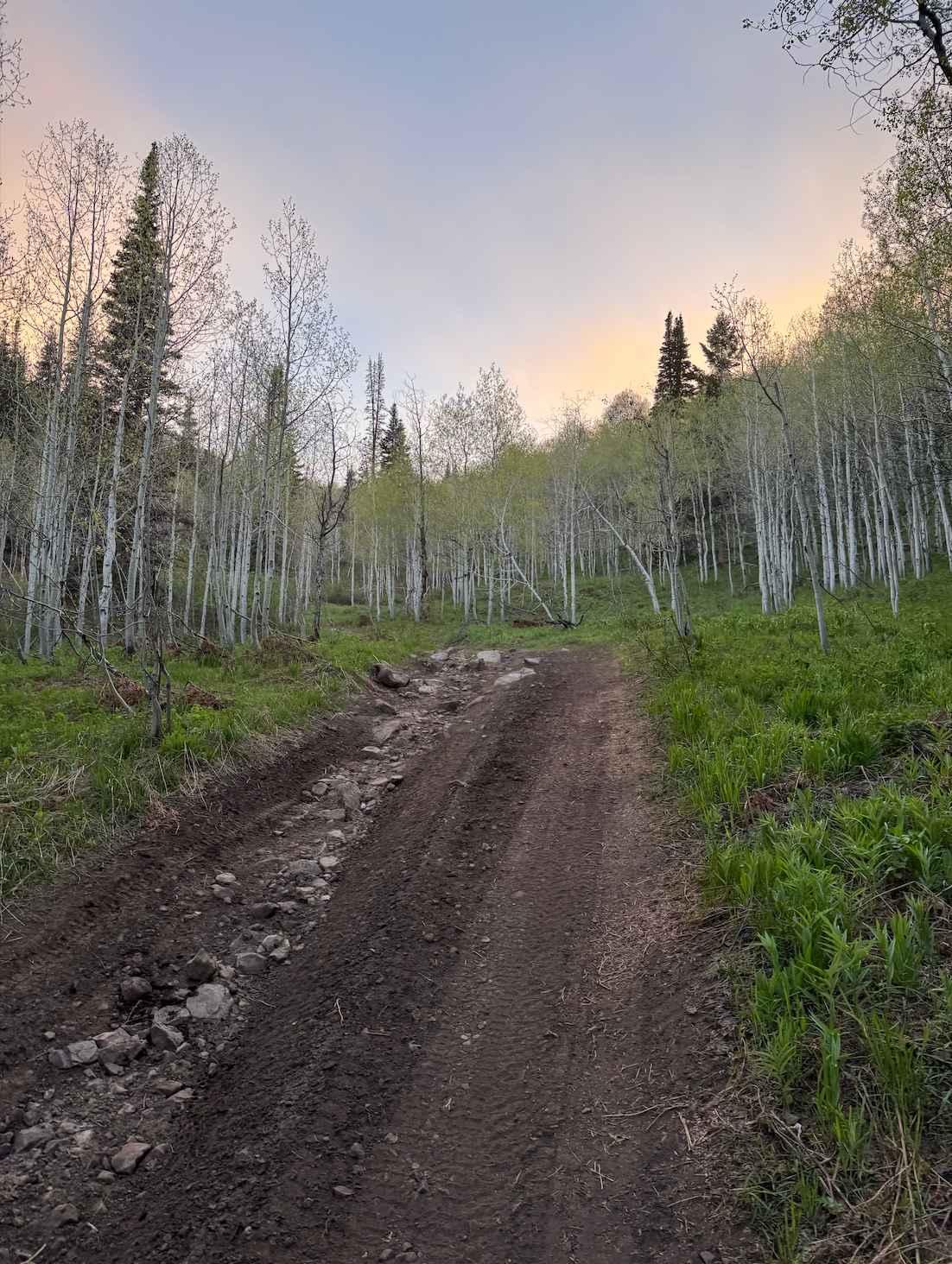
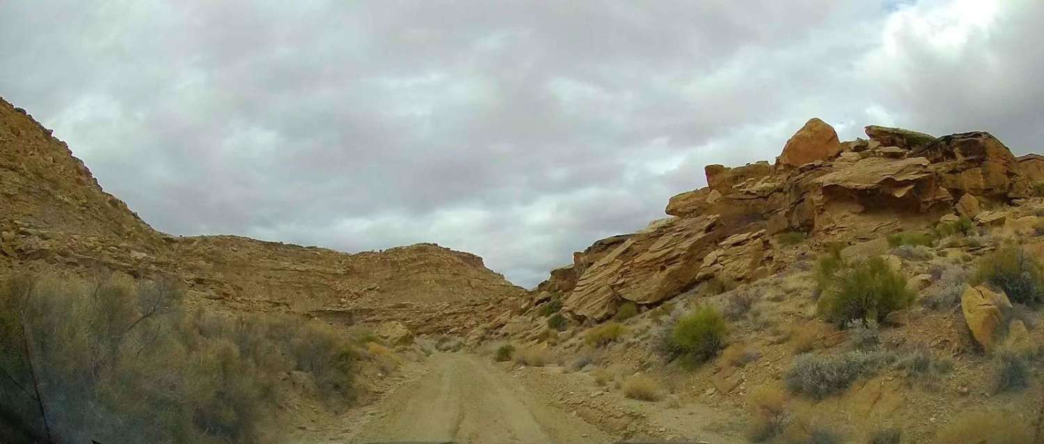
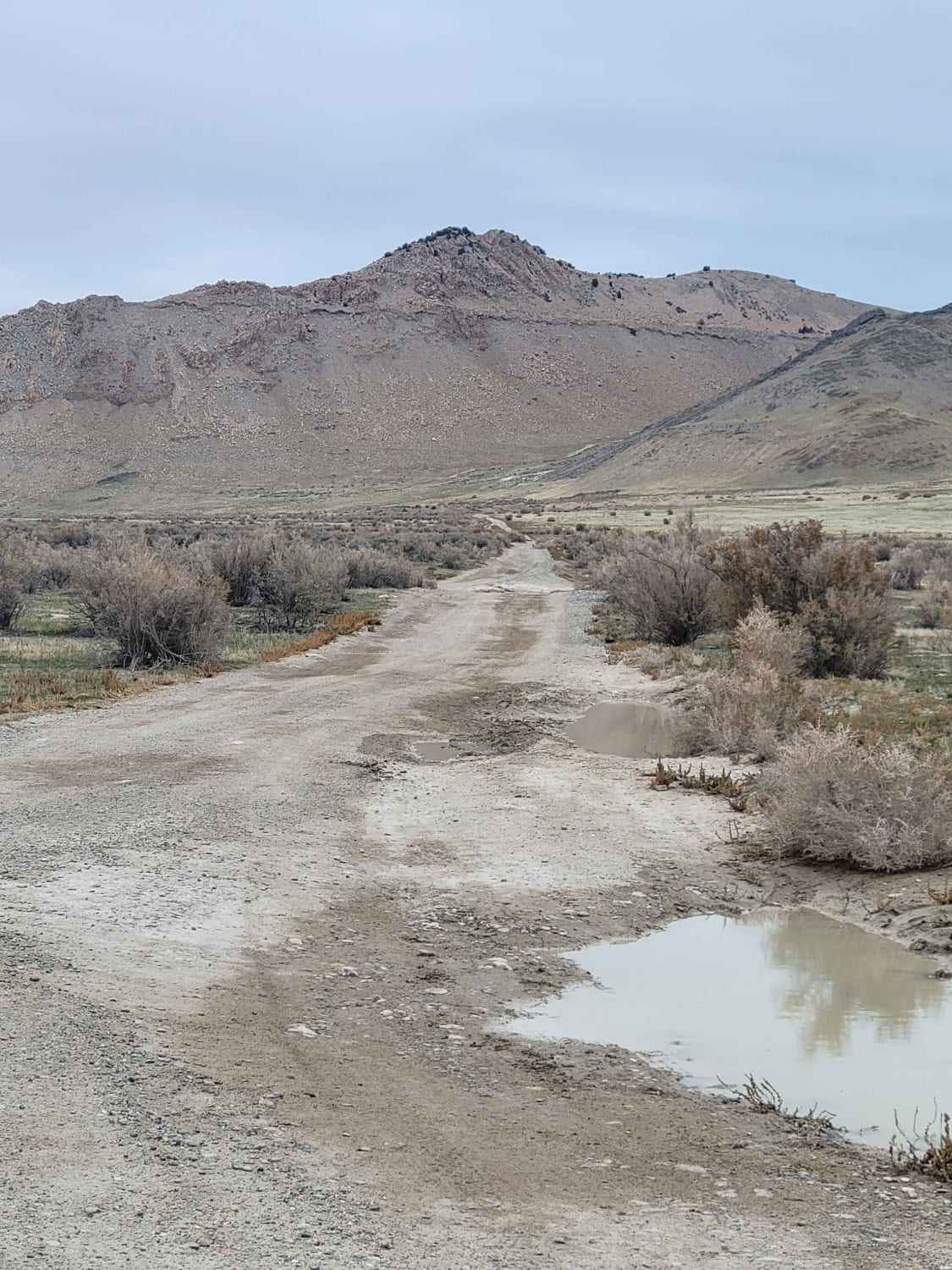
Trail Overview
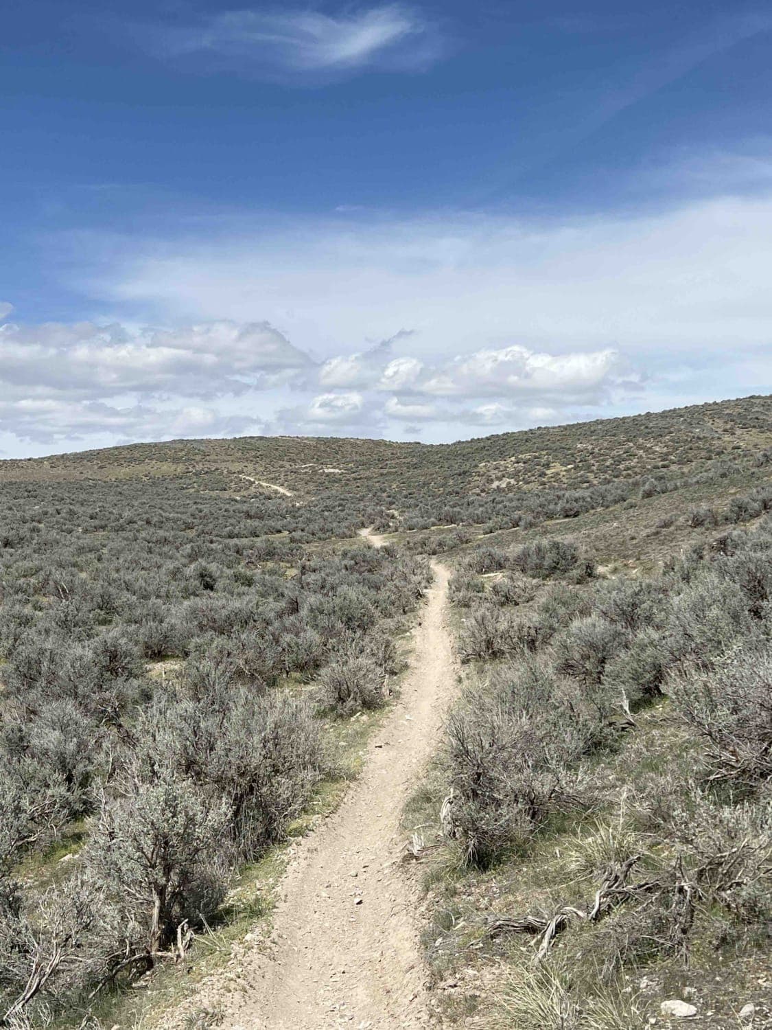
Rattlesnake Hill, named after the origins behind the name of the Snake Creek area, is a steep rocky trail with spectacular views. The trail has many steep grades with areas approaching or even surpassing 30 degrees, creating an exciting adventure. Near the bottom of the trail, there are some switchbacks of sorts that have some very large rocks that will take very careful maneuvering to avoid. There are also big ruts in this part of the trail and lots of tippy parts of the road that will make the car lean from one side to the other. The part where it connects back to the main paved road is extraordinarily tight, and there is one big rock sticking out into the trail, so go slow to avoid it and to avoid scratches from the tight trees.
Photos of Rattlesnake Hill
Difficulty
There are lots of large drop-offs and rocks that can reach over a foot in height. The trail also has very steep climbs and descents and big ruts.
History
It was named for the same reason Snake Creek was called Snake Creek. When the area was first found, there was a big pit with lots of rattlesnakes in it, giving the creek and area the name Snake Creek, which is why this trail is called Rattlesnake Hill. Most of these trails are old mining trails, but there is limited information on this specific trail.
Status Reports
Rattlesnake Hill can be accessed by the following ride types:
- High-Clearance 4x4
- SUV
- SxS (60")
- ATV (50")
- Dirt Bike
Rattlesnake Hill Map
Popular Trails
Smoky Hollow Road
Straight Shooter
Harris Mountain-BLM28-KC1400
The onX Offroad Difference
onX Offroad combines trail photos, descriptions, difficulty ratings, width restrictions, seasonality, and more in a user-friendly interface. Available on all devices, with offline access and full compatibility with CarPlay and Android Auto. Discover what you’re missing today!