Poverty Gulch Overlook
Total Miles
5.7
Technical Rating
Best Time
Spring, Summer, Fall
Trail Type
Full-Width Road
Accessible By
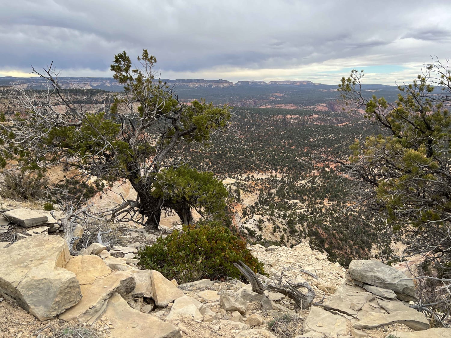
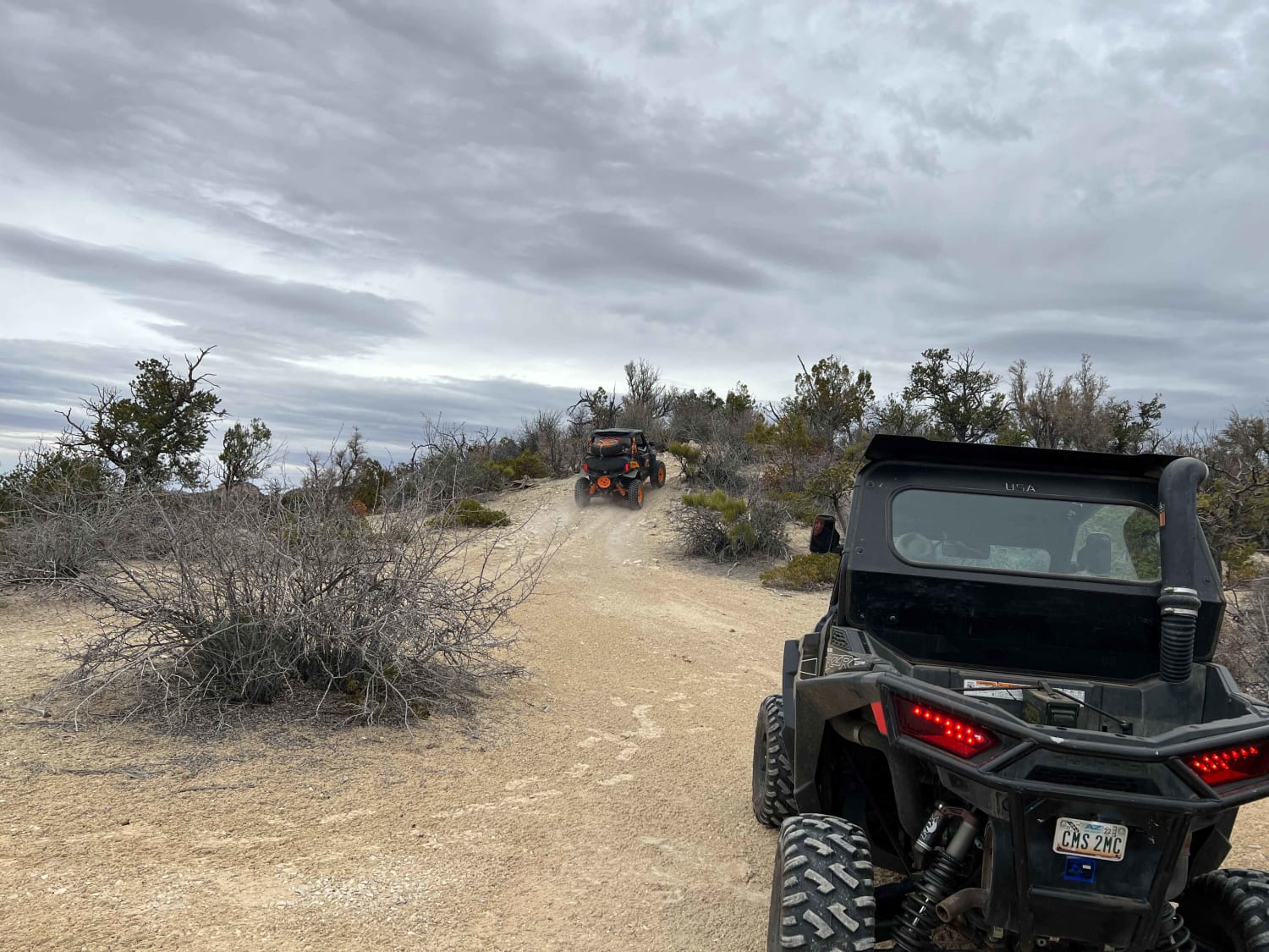
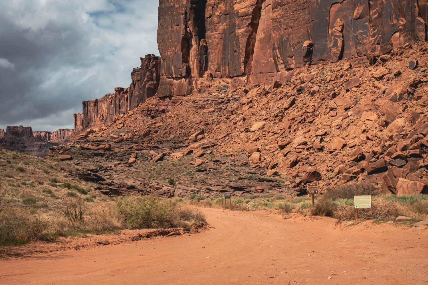
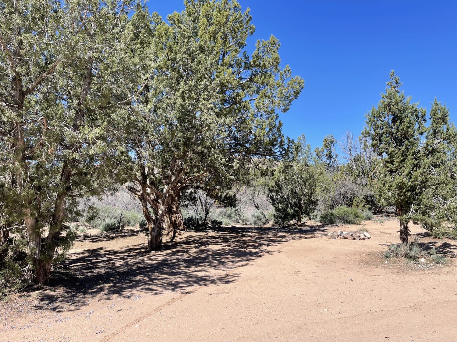
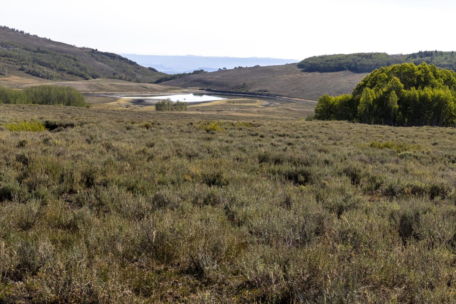
Trail Overview
This is a great way to start your Poverty Gulch adventure. This track stays above Poverty Gulch and rides a ridgeline looking down into Poverty Gulch. This is a relatively easy track; however, it is narrow in spots with trees and bushes extending into the track so that wider vehicles can get some scratches. Other than the dirt areas, which can quickly turn into the deep mud, this is very family-friendly with short runs and then some beautiful views that seem to extend forever.
Photos of Poverty Gulch Overlook
Difficulty
As with all of Poverty Gulch this is not a track to take if the ground and roads are wet. The road to the trailhead quickly turns to deep clay-based mud once rain or storms start.. The track to trailhead has areas of clay and vehicles can easily find themselves in 8" of thick clay-based mud.
Status Reports
Poverty Gulch Overlook can be accessed by the following ride types:
- High-Clearance 4x4
- SUV
- SxS (60")
- ATV (50")
- Dirt Bike
Poverty Gulch Overlook Map
Popular Trails
Long Canyon
Trust Lands Singletrack (South)
Sheep Valley Road
The onX Offroad Difference
onX Offroad combines trail photos, descriptions, difficulty ratings, width restrictions, seasonality, and more in a user-friendly interface. Available on all devices, with offline access and full compatibility with CarPlay and Android Auto. Discover what you’re missing today!