Potash Road, Shafer Switchbacks
Total Miles
18.2
Technical Rating
Best Time
Spring, Summer, Fall
Trail Type
Full-Width Road
Accessible By
Trail Overview
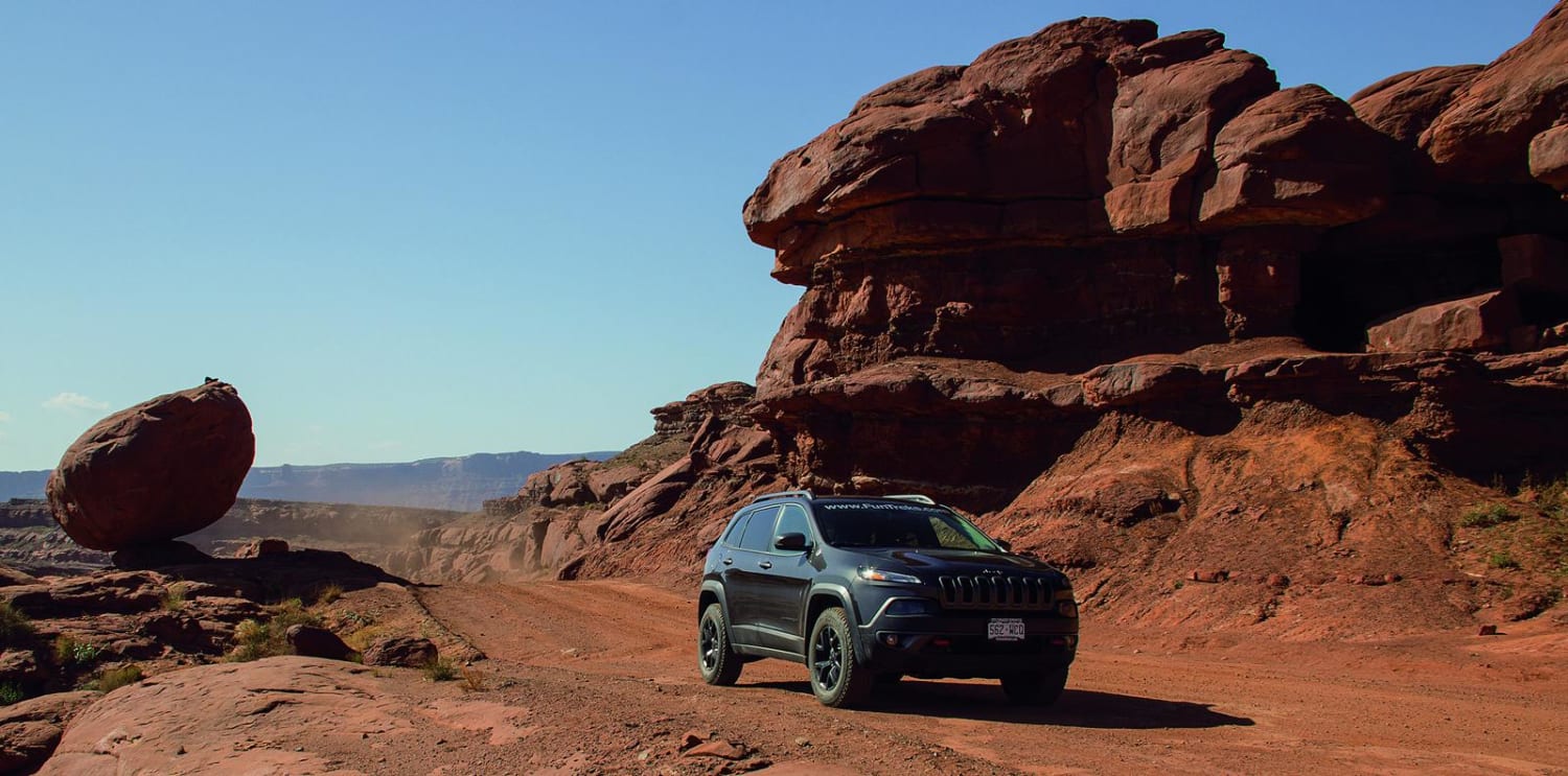
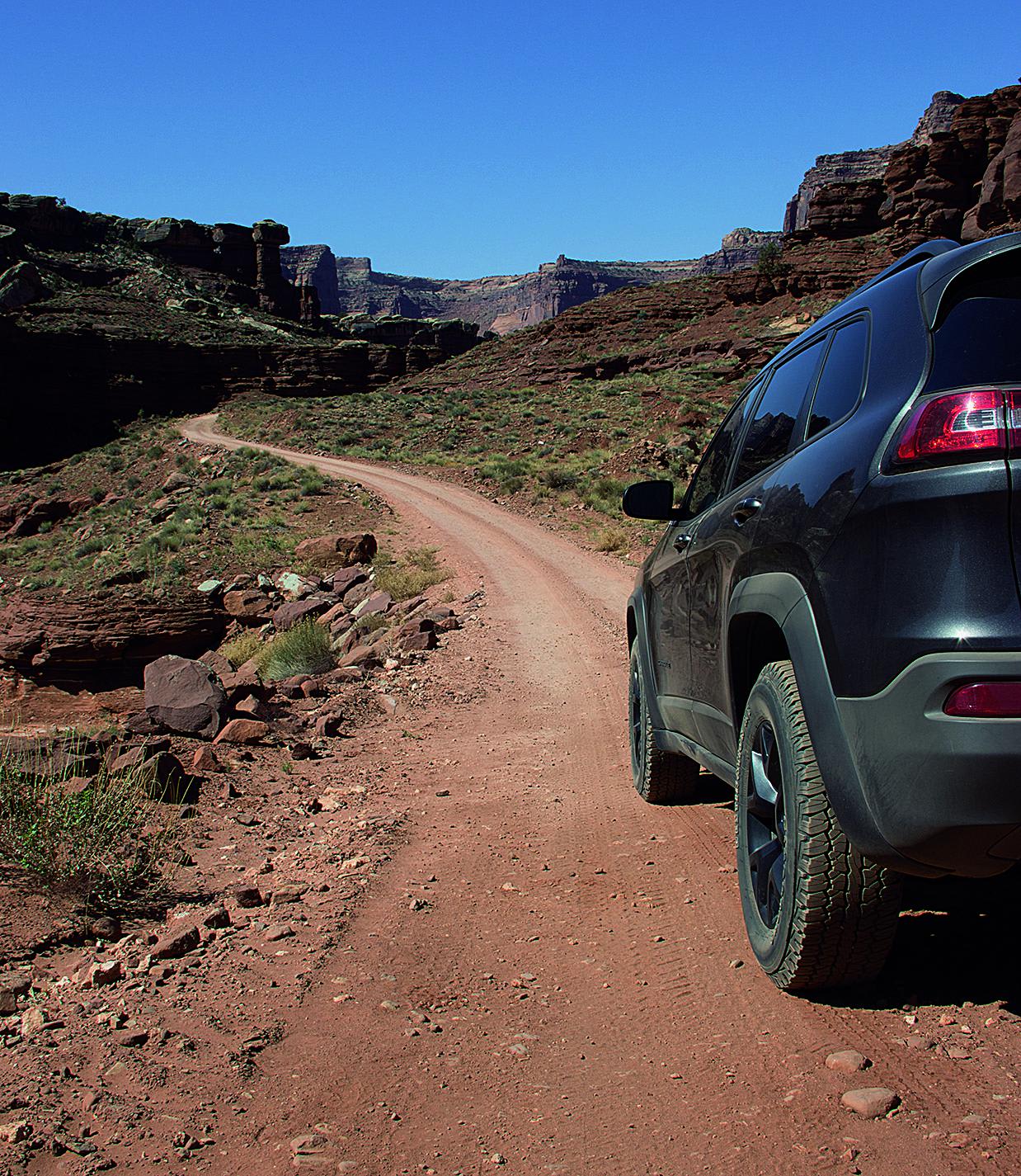
If you're looking for beautiful scenery, this route will deliver. Potash Road and its side roads are legal for ATVs and UTVs. You must stop at the Canyonlands National Park border, even if you are licensed. Pay a small fee when you leave the trail, or stop at the fee station. No pets allowed in the park.
Photos of Potash Road, Shafer Switchbacks
Difficulty
Easy. Under normal conditions, you'll want a little more clearance than an ordinary passenger car. Small ruts and washouts are possible after heavy rainstorms, during which time you may need 4-wheel drive. We made it through easily in our stock Trailhawk.
History
The evaporation ponds you drive past are man-made, rubber-lined lakes. Deep underground, brine dissolved potash is pumped to the surface and allowed to evaporate in the desert heat. Blue dye is added to speed up the process, which takes about 300 days. The bright blue color varies in inten- sity and can be seen from space.
Status Reports
Potash Road, Shafer Switchbacks can be accessed by the following ride types:
- High-Clearance 4x4
- SUV
- SxS (60")
- ATV (50")
- Dirt Bike
Potash Road, Shafer Switchbacks Map
Popular Trails

Duma Mine Cutoff

Baker Hot Springs North Entrance

Murdock Bench - FR 70503
The onX Offroad Difference
onX Offroad combines trail photos, descriptions, difficulty ratings, width restrictions, seasonality, and more in a user-friendly interface. Available on all devices, with offline access and full compatibility with CarPlay and Android Auto. Discover what you’re missing today!


