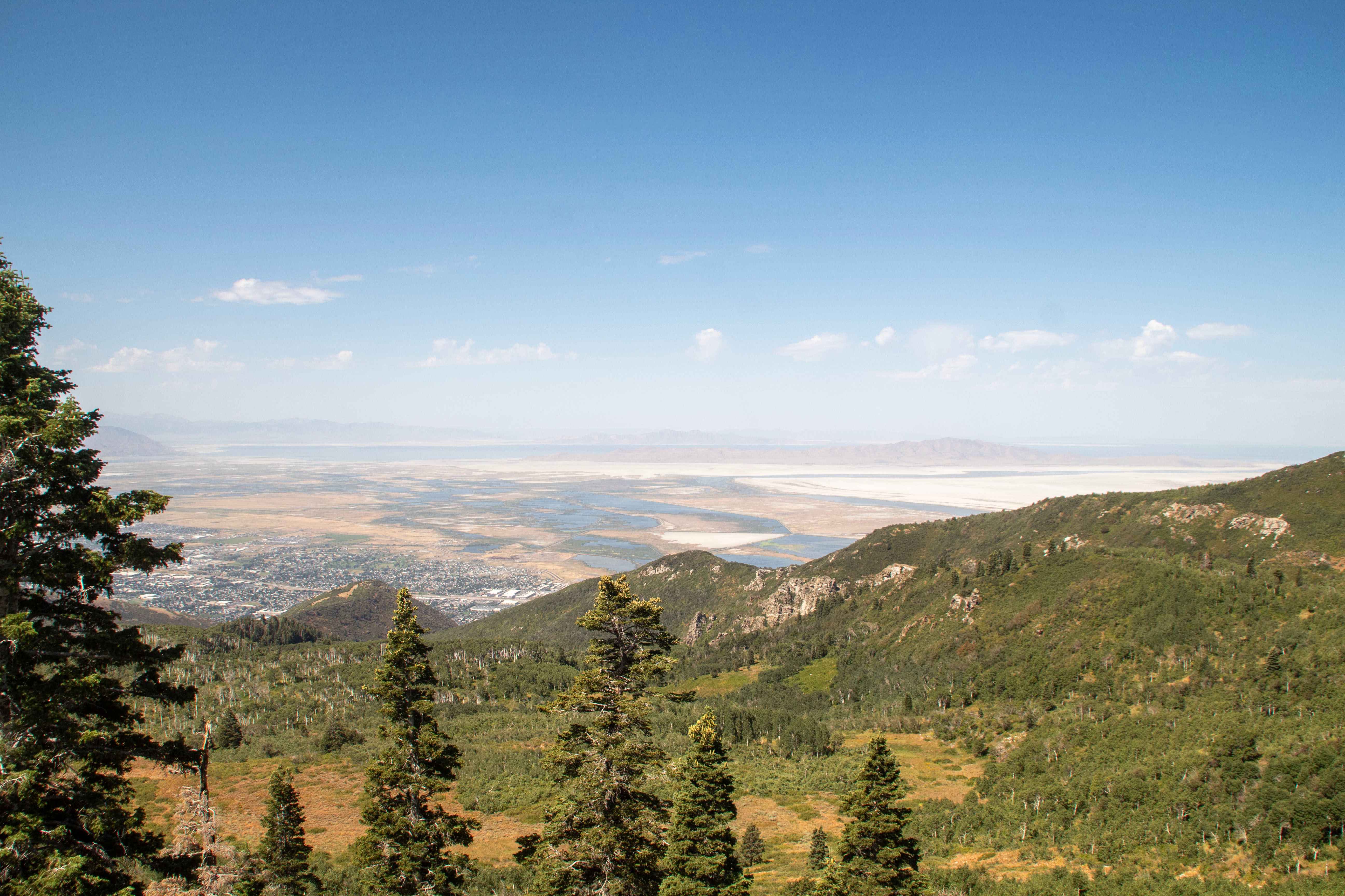
Off-Road Trails in Utah
Discover off-road trails in Utah
Learn more about Paiute Side Trail 53 (FS 41225)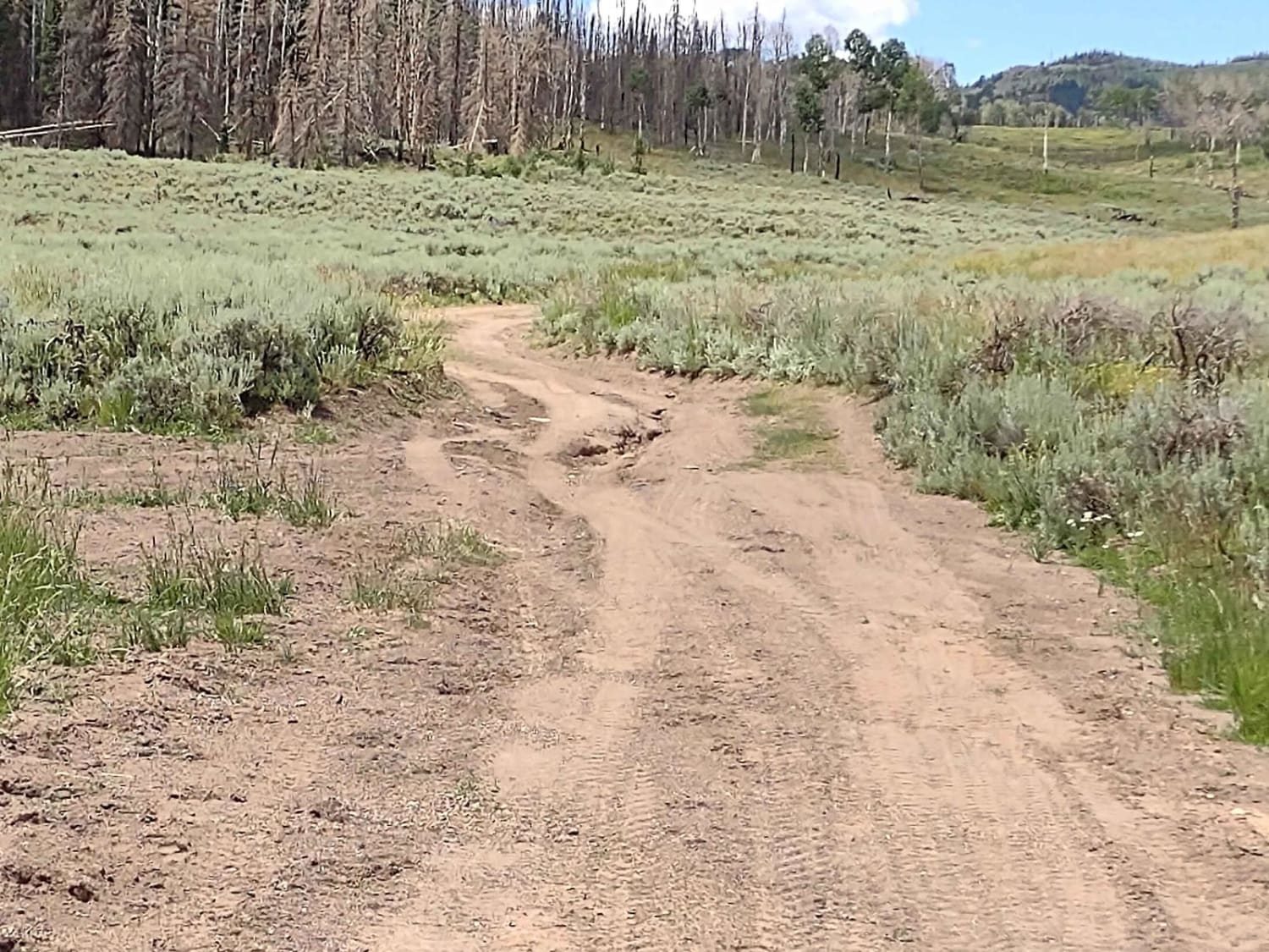
Paiute Side Trail 53 (FS 41225)
Total Miles
1.9
Tech Rating
Easy
Best Time
Spring, Summer, Fall
Learn more about Paiute Trail #15 to Paiute Trail #6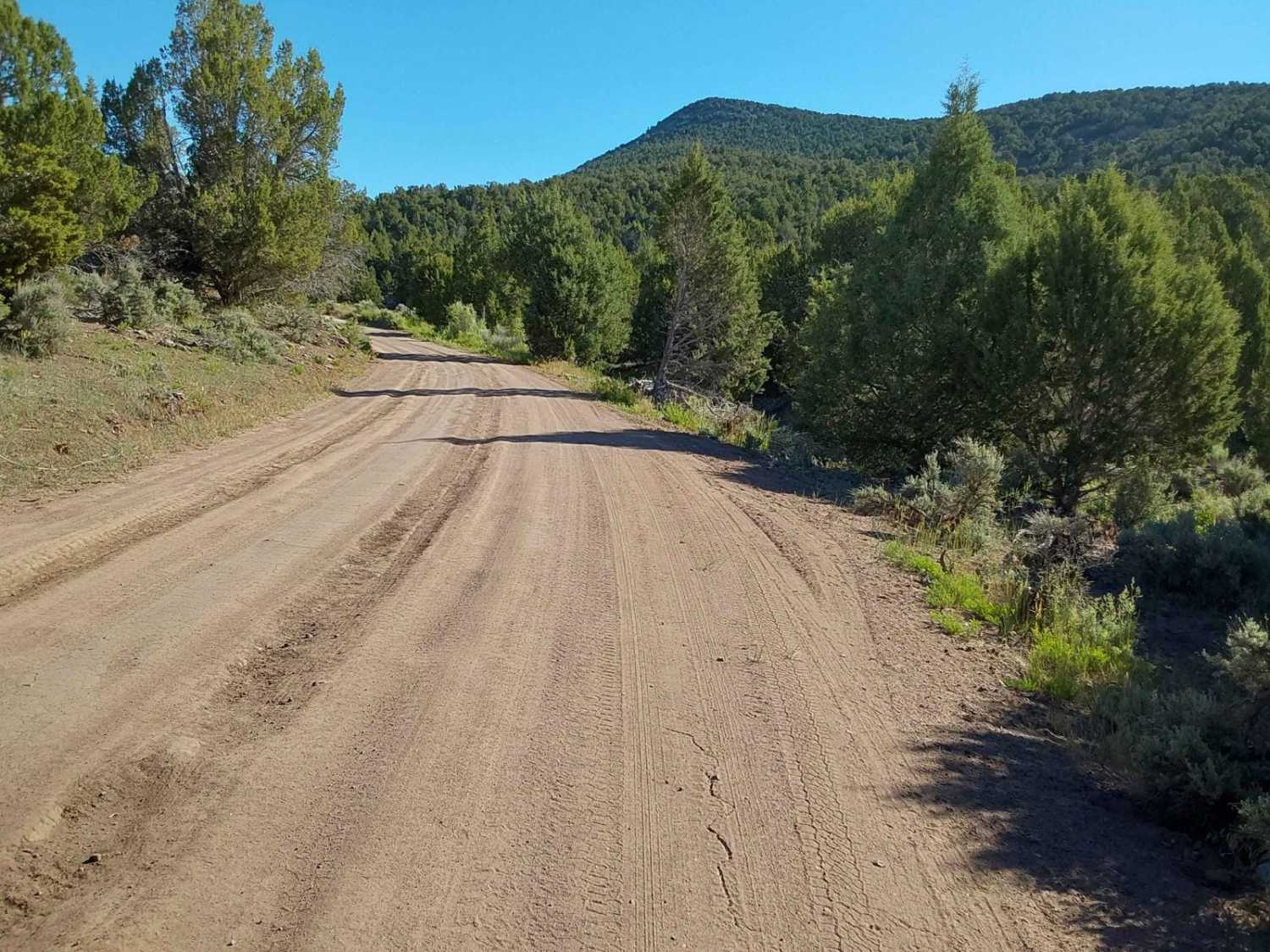
Paiute Trail #15 to Paiute Trail #6
Total Miles
19.1
Tech Rating
Easy
Best Time
Spring, Fall, Summer
Learn more about Panguitch Lake - Scenic Route
Panguitch Lake - Scenic Route
Total Miles
31.6
Tech Rating
Easy
Best Time
Spring, Summer, Fall
Learn more about Panorama Point Way
Panorama Point Way
Total Miles
8.3
Tech Rating
Moderate
Best Time
Spring
Learn more about Papa Bear Poker Run 2021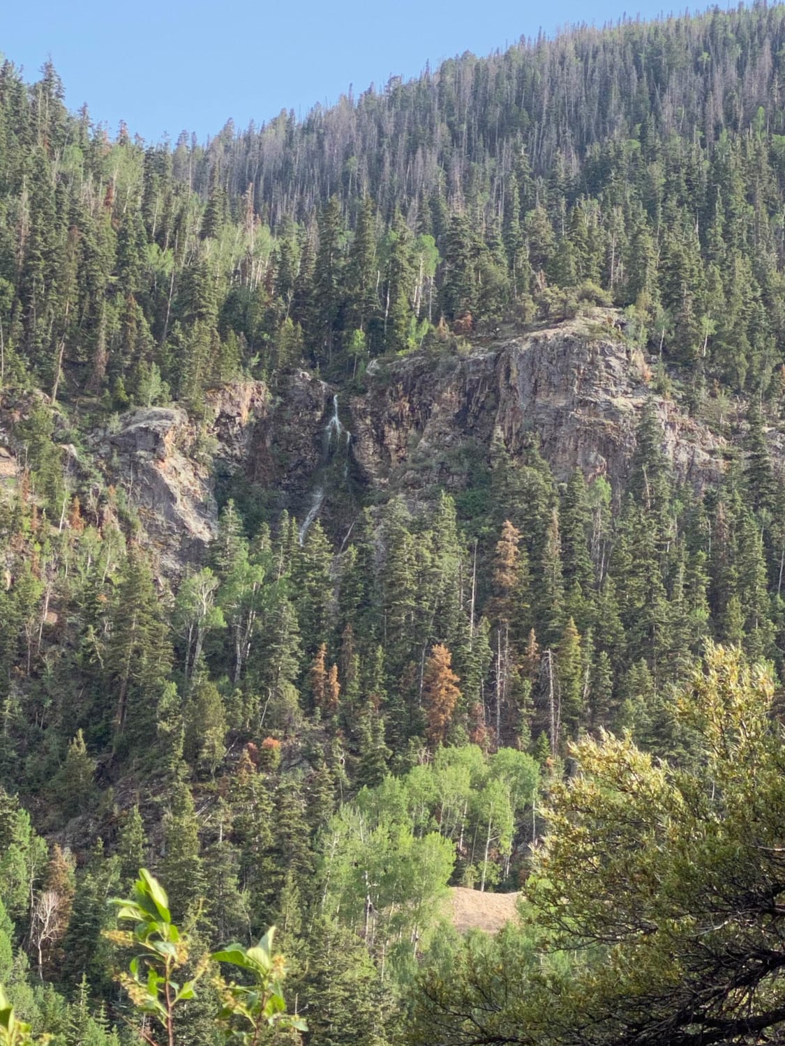
Papa Bear Poker Run 2021
Total Miles
65.9
Tech Rating
Easy
Best Time
Winter, Fall, Summer, Spring
Learn more about Papa Bear Spur (FS 41229 & 42467)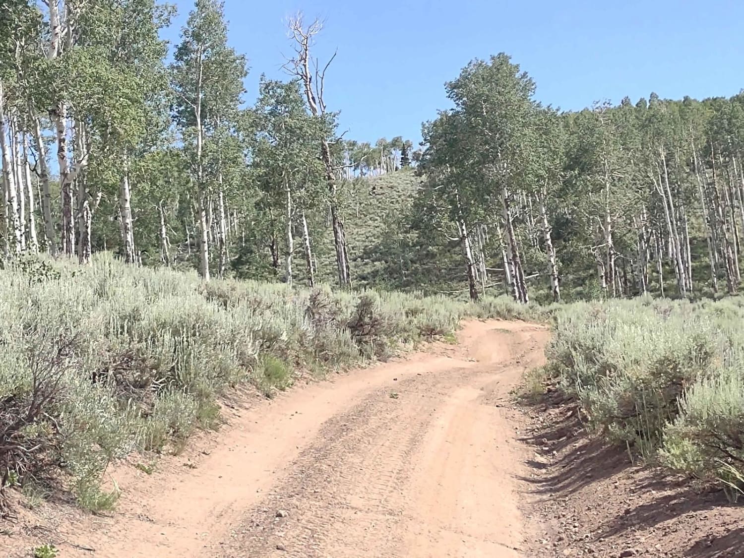
Papa Bear Spur (FS 41229 & 42467)
Total Miles
0.8
Tech Rating
Easy
Best Time
Spring, Summer, Fall
Learn more about Papa Bear Spur FS 42118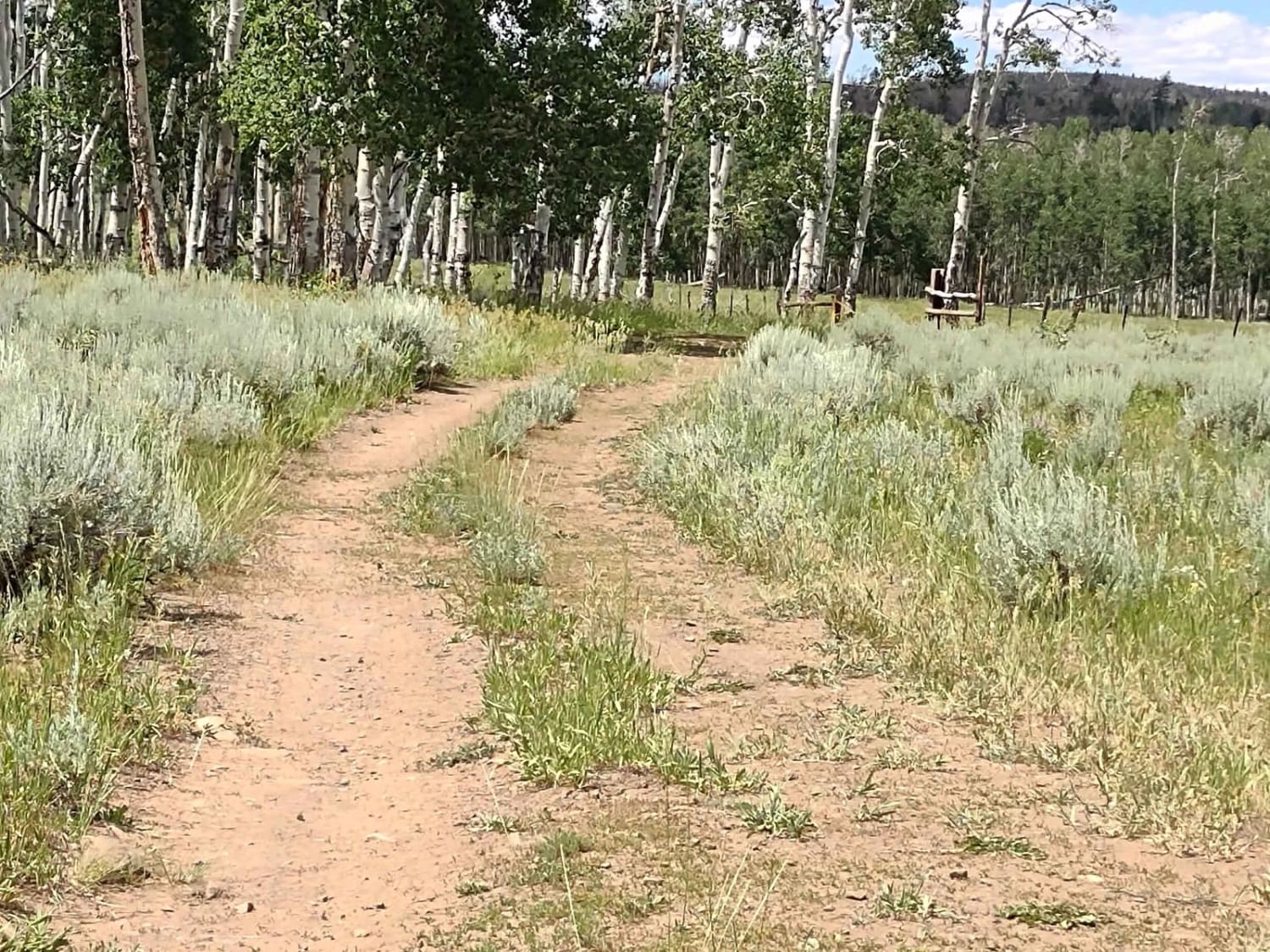
Papa Bear Spur FS 42118
Total Miles
0.5
Tech Rating
Easy
Best Time
Spring, Summer, Fall
Learn more about Papa Bear Spur FS 4848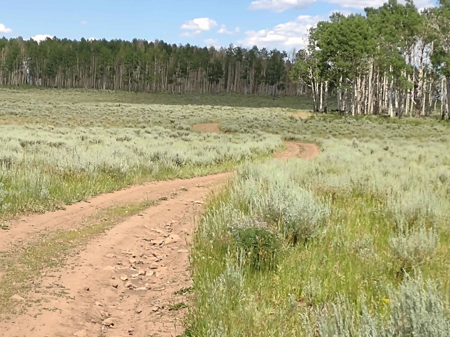
Papa Bear Spur FS 4848
Total Miles
0.5
Tech Rating
Easy
Best Time
Spring, Summer, Fall
Learn more about Papa Bear Spur Loop (FS 42453, 42449, 42450)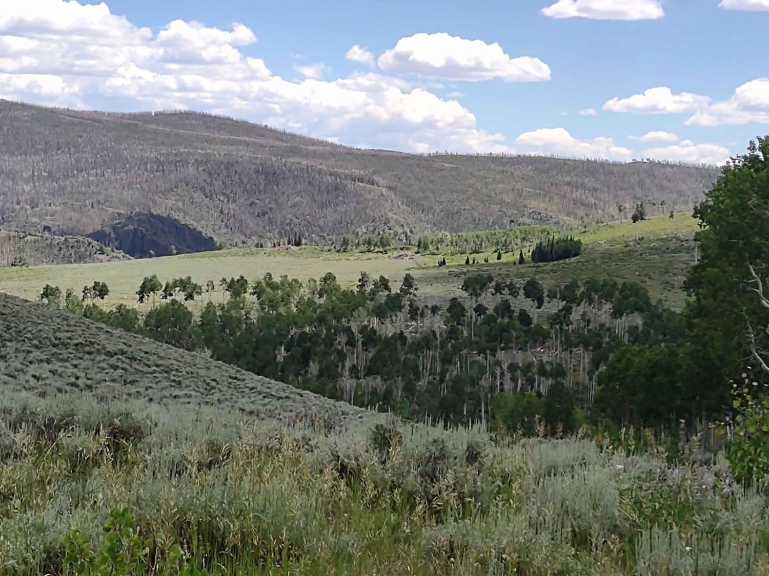
Papa Bear Spur Loop (FS 42453, 42449, 42450)
Total Miles
1.0
Tech Rating
Easy
Best Time
Fall, Summer, Spring
Learn more about Papa Smurf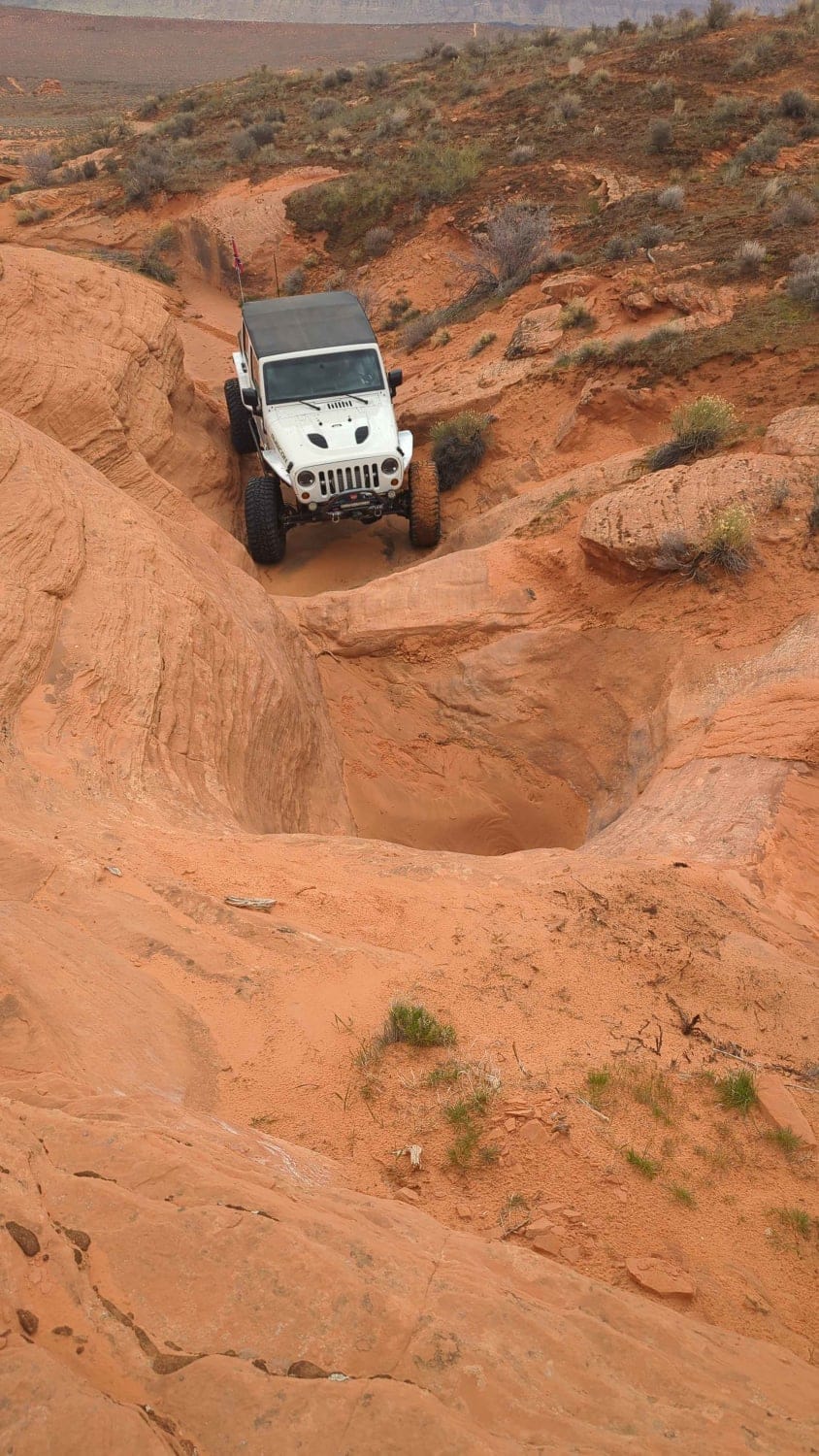
Papa Smurf
Total Miles
1.4
Tech Rating
Difficult
Best Time
Spring, Summer, Fall, Winter
Learn more about Parcos Mines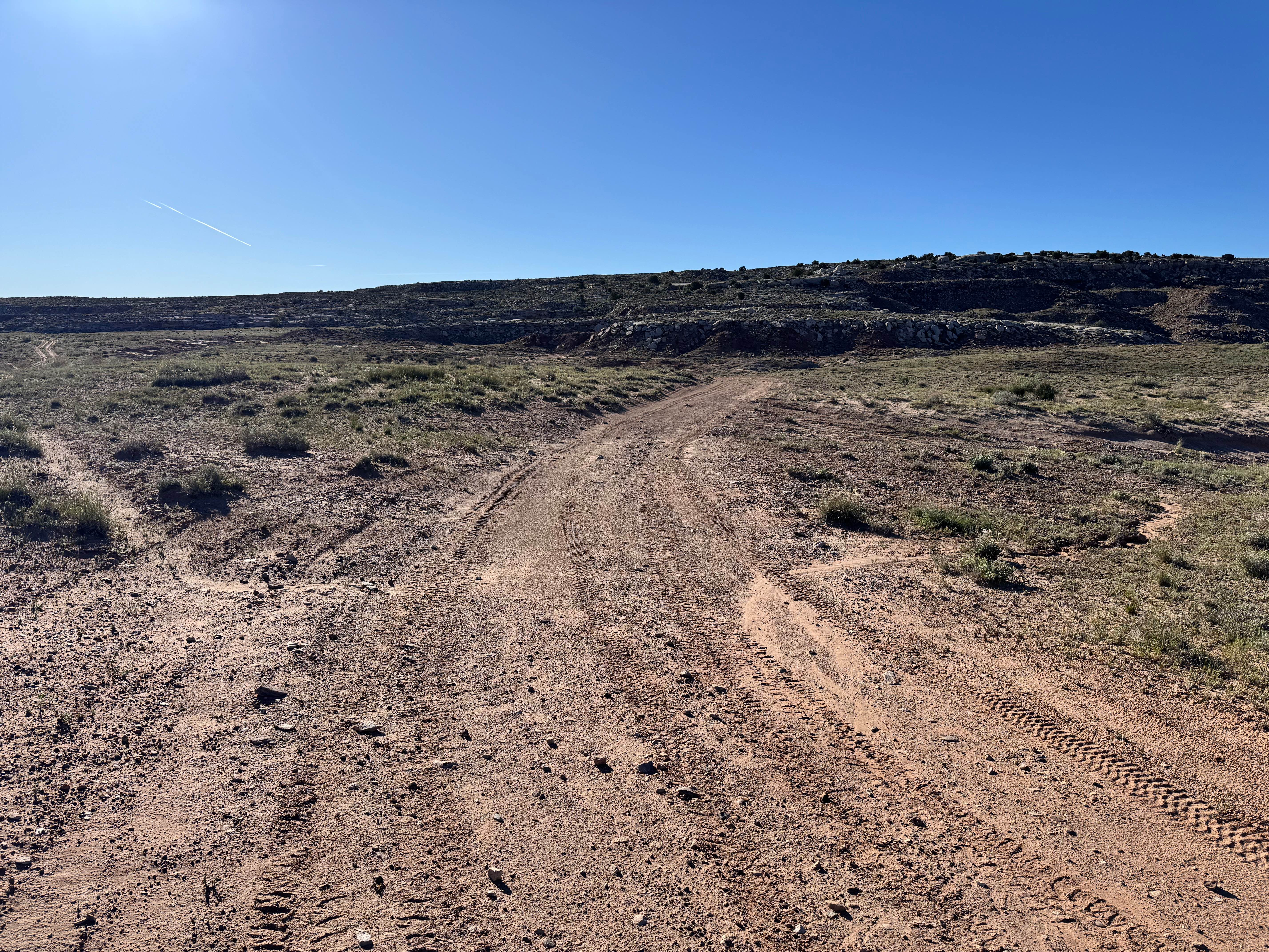
Parcos Mines
Total Miles
0.8
Tech Rating
Easy
Best Time
Spring, Summer, Fall, Winter
Learn more about Park Wash Road (K4360)
Park Wash Road (K4360)
Total Miles
6.8
Tech Rating
Easy
Best Time
Summer, Fall
Learn more about Park Wash/Buckskin Wash Connector 
Park Wash/Buckskin Wash Connector
Total Miles
1.6
Tech Rating
Easy
Best Time
Spring, Summer, Fall
Learn more about Parker Mountain #22
Parker Mountain #22
Total Miles
8.9
Tech Rating
Easy
Best Time
Summer, Spring, Fall
Learn more about Parker Mountain 1-21
Parker Mountain 1-21
Total Miles
8.3
Tech Rating
Easy
Best Time
Spring, Summer, Fall
Learn more about Parker Mountain 17
Parker Mountain 17
Total Miles
8.1
Tech Rating
Easy
Best Time
Spring, Summer, Fall
Learn more about Parker Mountain 18
Parker Mountain 18
Total Miles
9.9
Tech Rating
Easy
Best Time
Spring, Summer, Fall
Learn more about Parker Mountain Trail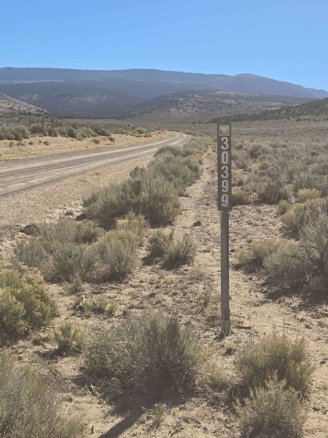
Parker Mountain Trail
Total Miles
32.5
Tech Rating
Easy
Best Time
Spring, Summer, Fall
Learn more about Parker Mountain Trail (PMT) 1 to PMT 15
Parker Mountain Trail (PMT) 1 to PMT 15
Total Miles
11.8
Tech Rating
Easy
Best Time
Summer
ATV trails in Utah

Learn more about 14 Mile Road
14 Mile Road
Total Miles
14.7
Tech Rating
Easy
Best Time
Spring, Summer, Fall, Winter


UTV/side-by-side trails in Utah
Learn more about 14 Mile Road
14 Mile Road
Total Miles
14.7
Tech Rating
Easy
Best Time
Spring, Summer, Fall, Winter
The onX Offroad Difference
onX Offroad combines trail photos, descriptions, difficulty ratings, width restrictions, seasonality, and more in a user-friendly interface. Available on all devices, with offline access and full compatibility with CarPlay and Android Auto. Discover what you’re missing today!