Off-Road Trails in Utah
Discover off-road trails in Utah
Learn more about Oak Ridge to Brown's Hole Trail
Oak Ridge to Brown's Hole Trail
Total Miles
1.9
Tech Rating
Easy
Best Time
Spring, Summer
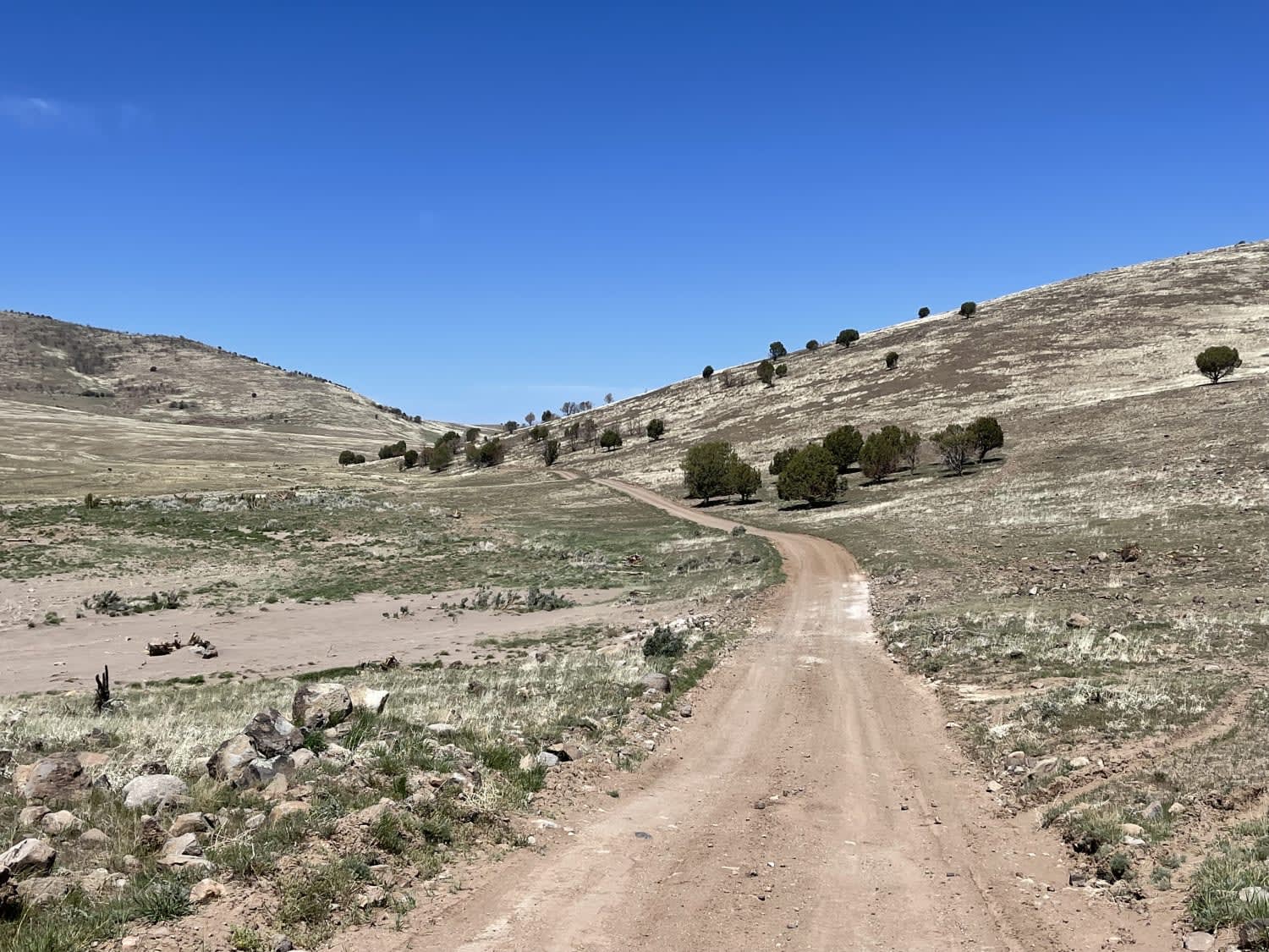
Learn more about Oak Ridge Trail
Oak Ridge Trail
Total Miles
2.1
Tech Rating
Easy
Best Time
Spring, Summer, Fall
Learn more about Oak Spring Rollercoaster
Oak Spring Rollercoaster
Total Miles
3.2
Tech Rating
Moderate
Best Time
Summer, Fall
Learn more about Odds North Access Trail 
Odds North Access Trail
Total Miles
1.2
Tech Rating
Moderate
Best Time
Spring, Fall, Winter
Learn more about Odds West Access Trail 
Odds West Access Trail
Total Miles
1.5
Tech Rating
Easy
Best Time
Spring, Fall, Winter
Learn more about Oh The View - County Road 648
Oh The View - County Road 648
Total Miles
6.6
Tech Rating
Easy
Best Time
Spring, Summer, Fall, Winter
Learn more about Oil Well Road
Oil Well Road
Total Miles
9.8
Tech Rating
Easy
Best Time
Spring, Summer, Fall, Winter
Learn more about Oil Well Wash 
Oil Well Wash
Total Miles
2.3
Tech Rating
Easy
Best Time
Winter, Spring, Fall
Learn more about Old Canyon Road
Old Canyon Road
Total Miles
1.5
Tech Rating
Easy
Best Time
Spring, Fall, Summer
Learn more about Old Canyon Trail
Old Canyon Trail
Total Miles
20.7
Tech Rating
Easy
Best Time
Spring, Summer, Fall
Learn more about Old Escalante Road FH 17
Old Escalante Road FH 17
Total Miles
21.9
Tech Rating
Easy
Best Time
Spring, Summer, Fall
Learn more about Old Highway 73
Old Highway 73
Total Miles
4.0
Tech Rating
Easy
Best Time
Spring, Summer, Fall
Learn more about Old Iron Town East BLM 31027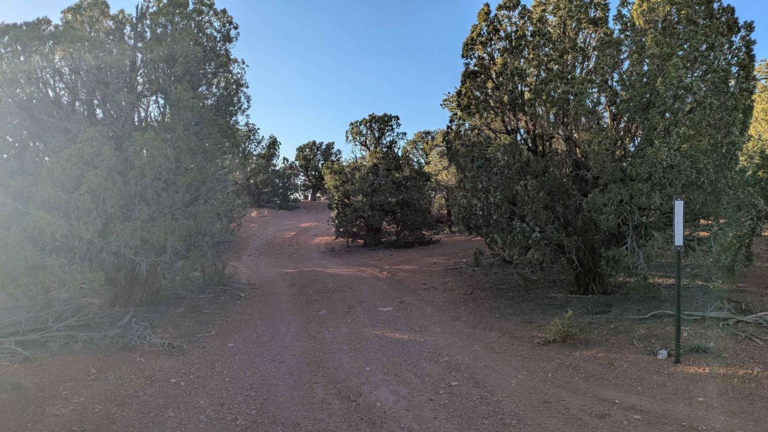
Old Iron Town East BLM 31027
Total Miles
2.6
Tech Rating
Easy
Best Time
Fall, Summer, Spring, Winter
Learn more about Old New Castle Road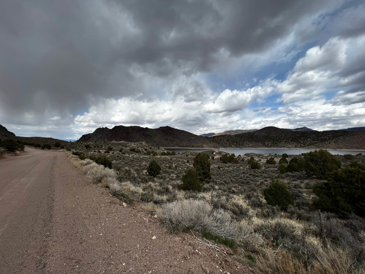
Old New Castle Road
Total Miles
10.5
Tech Rating
Easy
Best Time
Spring, Summer, Fall
Learn more about Old River Bed Road-TC02836
Old River Bed Road-TC02836
Total Miles
5.7
Tech Rating
Easy
Best Time
Spring, Summer, Fall, Winter
Learn more about Old Spanish Trail Spur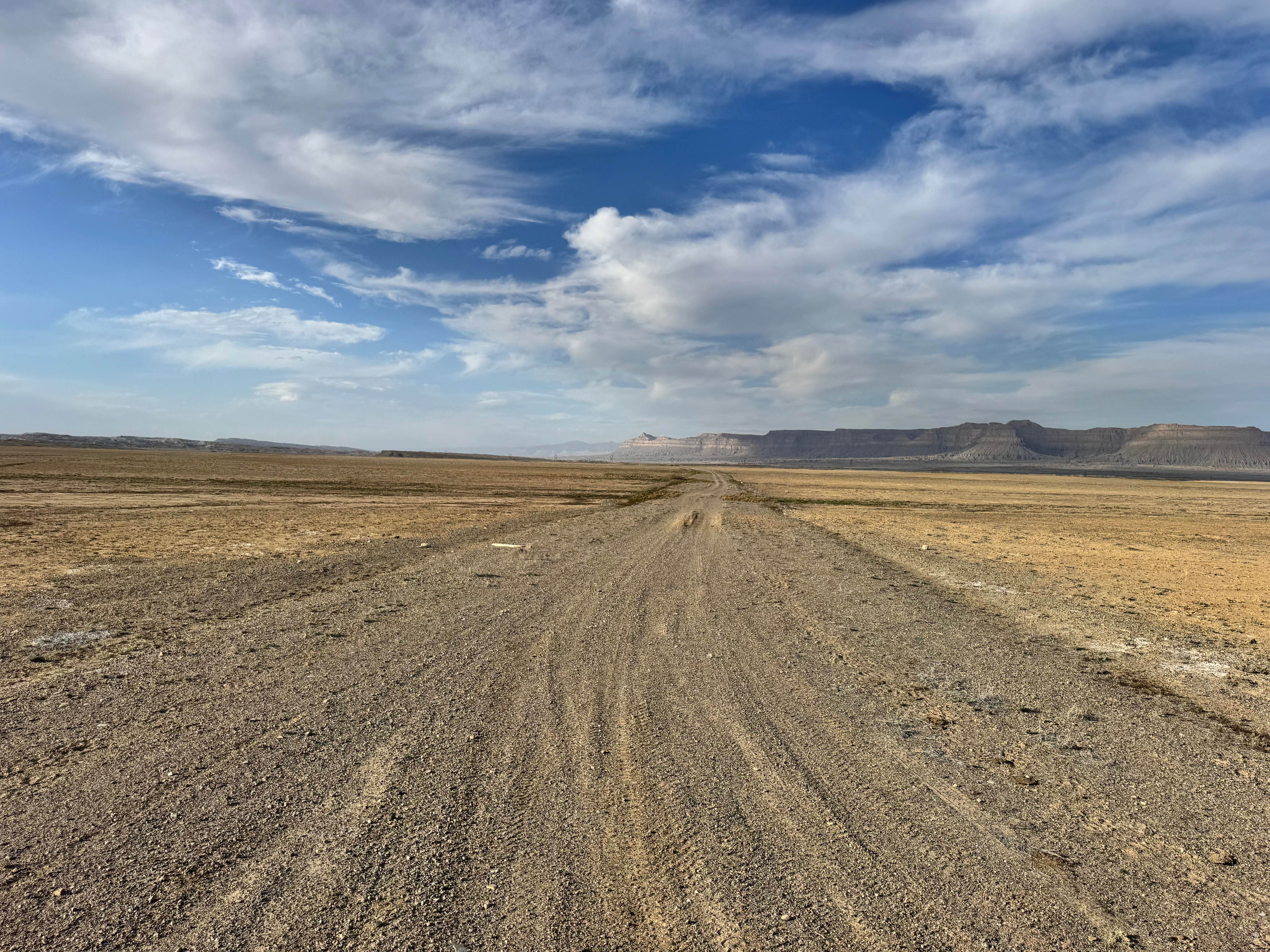
Old Spanish Trail Spur
Total Miles
3.2
Tech Rating
Moderate
Best Time
Spring, Summer, Fall
Learn more about Old Trench Road (2181)
Old Trench Road (2181)
Total Miles
2.0
Tech Rating
Easy
Best Time
Summer, Fall
Learn more about Old Ward Canyon Road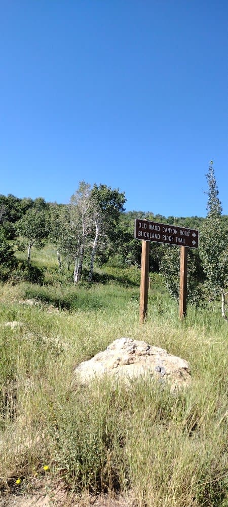
Old Ward Canyon Road
Total Miles
0.7
Tech Rating
Moderate
Best Time
Summer, Fall
ATV trails in Utah

Learn more about 14 Mile Road
14 Mile Road
Total Miles
14.7
Tech Rating
Easy
Best Time
Spring, Summer, Fall, Winter


UTV/side-by-side trails in Utah
Learn more about 14 Mile Road
14 Mile Road
Total Miles
14.7
Tech Rating
Easy
Best Time
Spring, Summer, Fall, Winter
The onX Offroad Difference
onX Offroad combines trail photos, descriptions, difficulty ratings, width restrictions, seasonality, and more in a user-friendly interface. Available on all devices, with offline access and full compatibility with CarPlay and Android Auto. Discover what you’re missing today!