Trail Overview
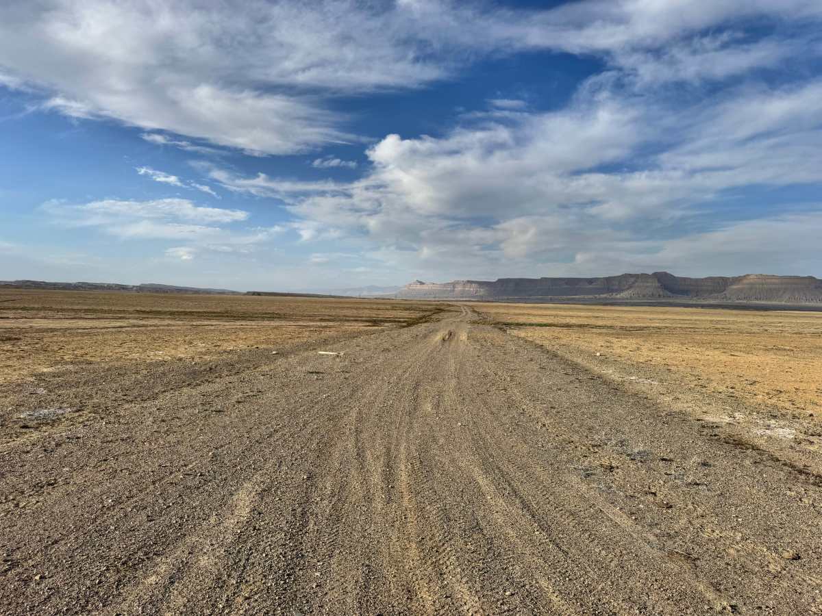
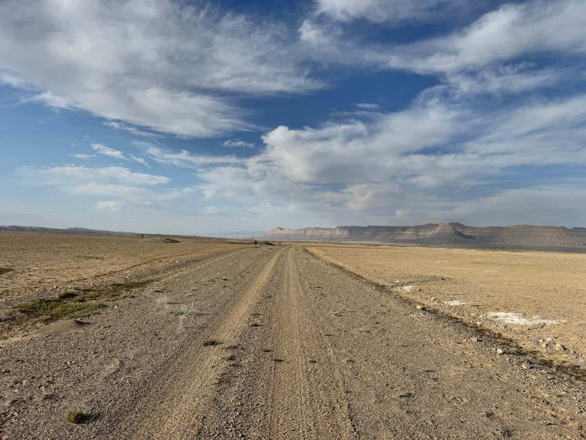
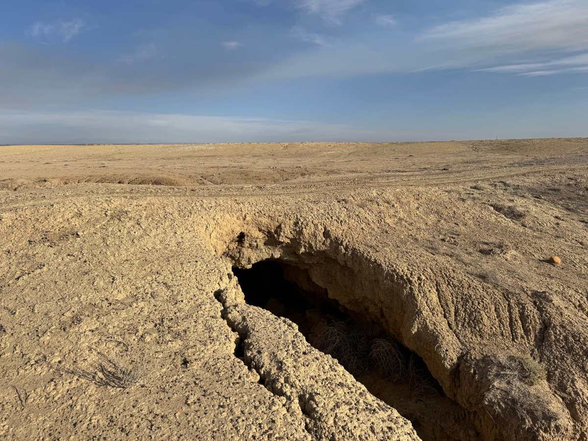
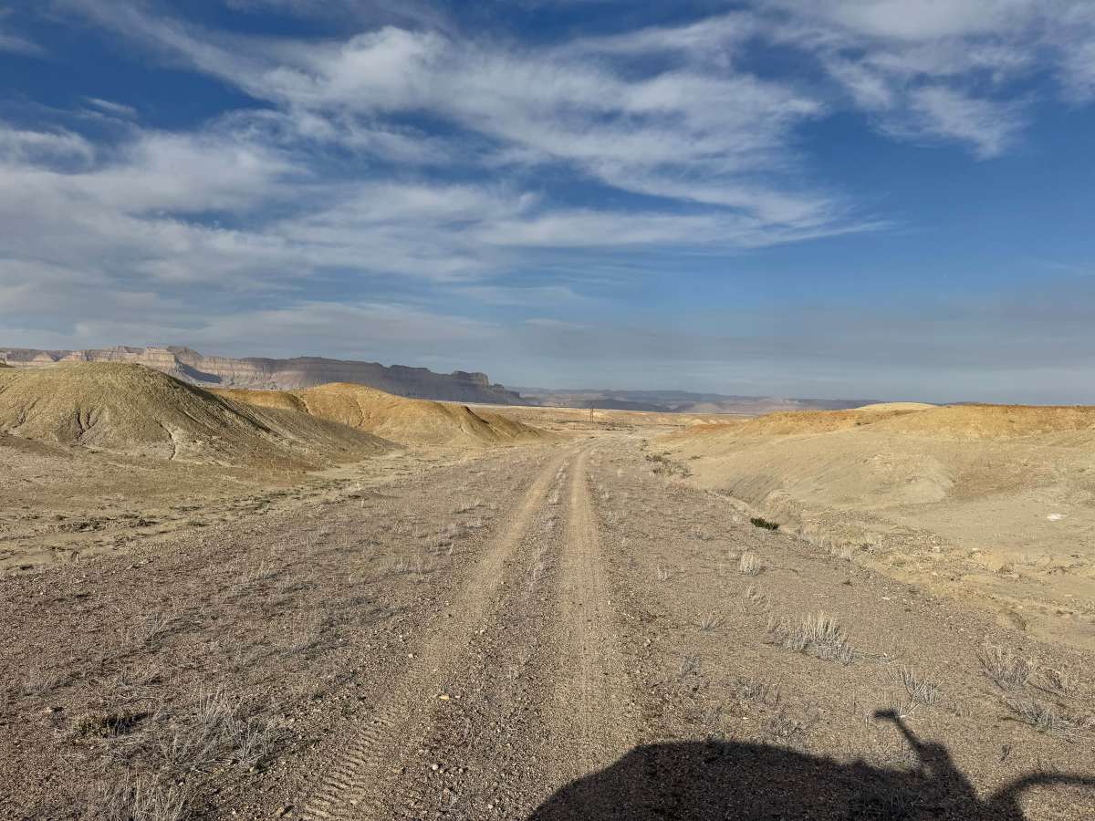
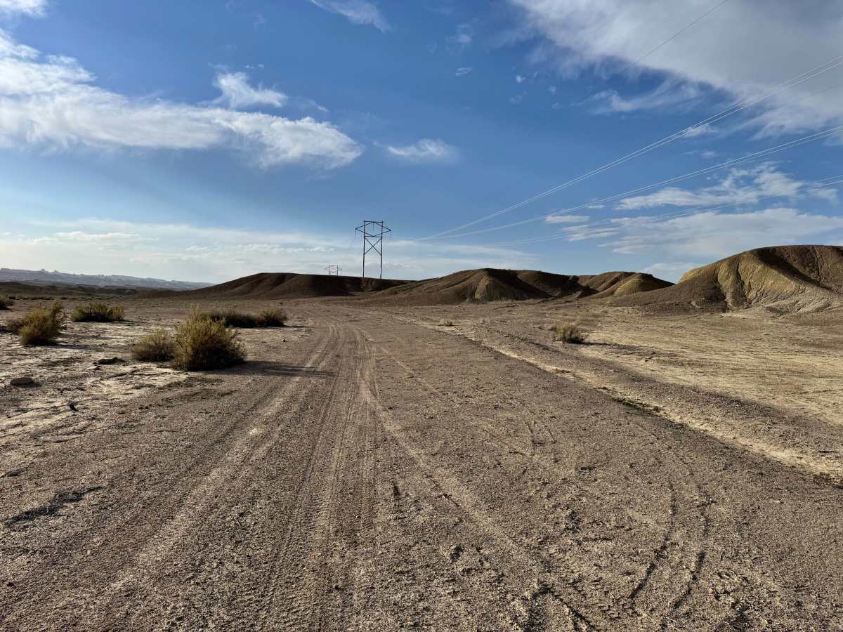
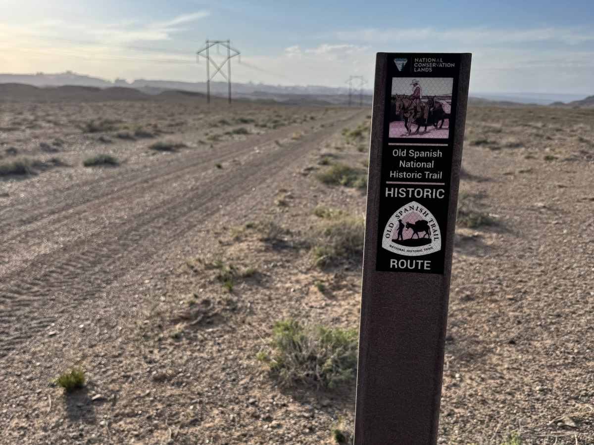
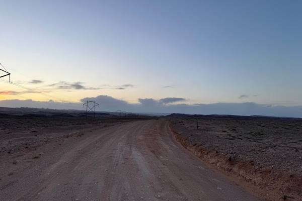
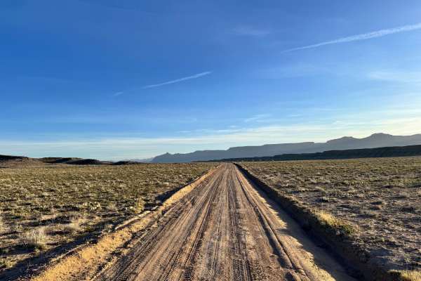
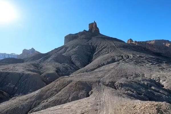
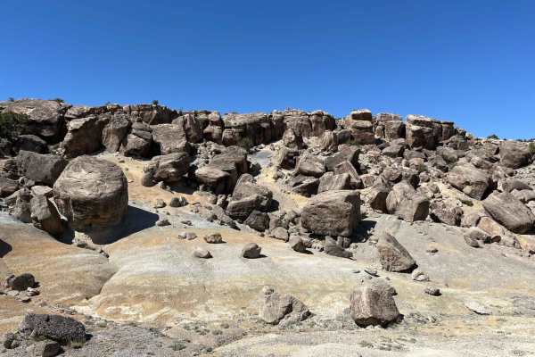
Follow a surviving piece of western migration history on this scenic section of the Old Spanish Trail, where settlers once traveled by oxen, horses, and covered wagons in search of new opportunities out west. Much of the route is relatively easy and crosses wide open desert on loose, soft dirt that was once graded in places. The sense of isolation here helps paint a picture of what early travelers endured. A more challenging section drops into a ravine and climbs back out, where stock high-clearance 4x4 vehicles are recommended. The route also crosses a natural bridge that is actively eroding underneath, so caution is critical. One wash crossing is not advised due to dangerous blind washouts, and bypassing the crumbling bridge area is the safer option. Historic trail markers remain, guiding modern travelers through Cottonwood Wash and across this rugged landscape. Primitive dispersed camping can be found in open areas, but expect wind and exposed conditions.
Difficulty
Mostly an easy desert two-track with loose dirt, open travel, and mild terrain. Difficulty increases at the ravine descent/climb, soft sections, and dangerous washouts that require careful line choice. A stock high-clearance 4x4 is recommended for the rougher section. The main challenge comes from erosion hazards, blind drop-offs, and changing conditions rather than technical obstacles. Avoid the unstable natural bridge crossing.
History
This route follows part of the historic Old Spanish Trail, once traveled by settlers, traders, and explorers using horses, oxen, and wagons. It served as an important corridor across harsh desert country and still preserves a sense of what those early crossings were like.