Trail Overview
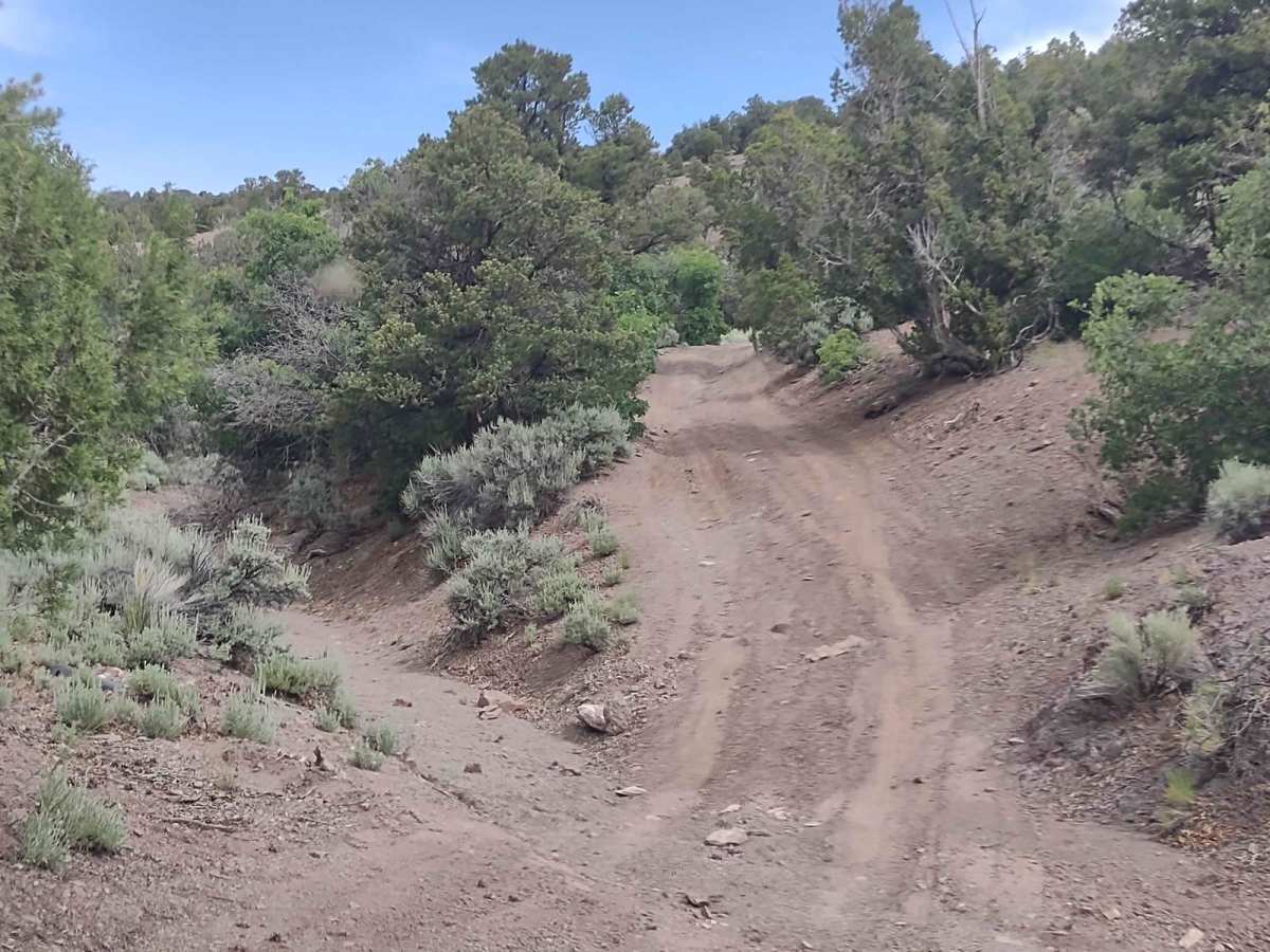
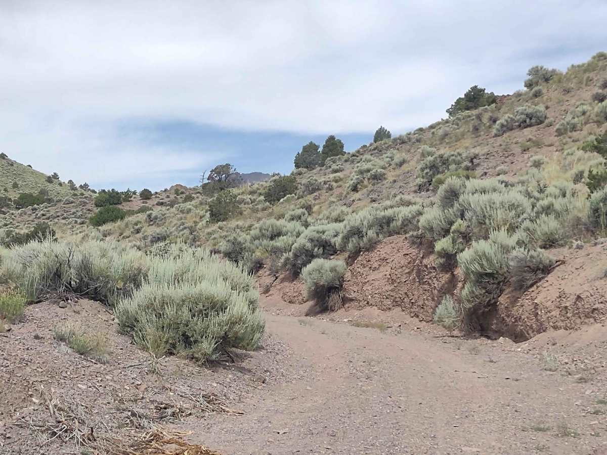
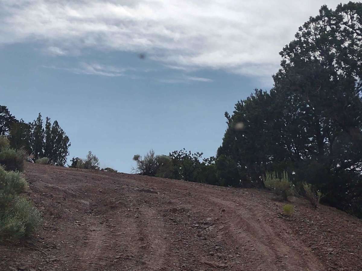
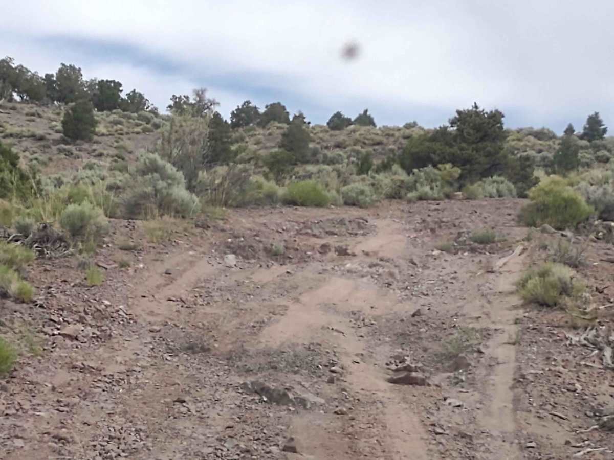
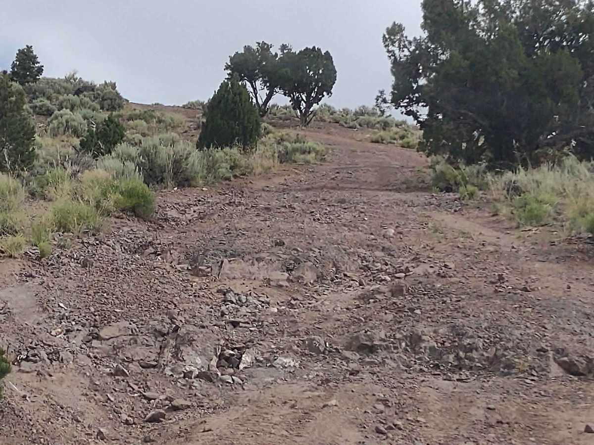
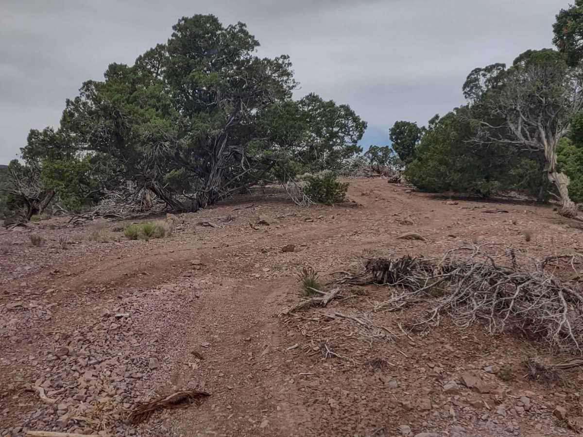
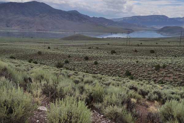
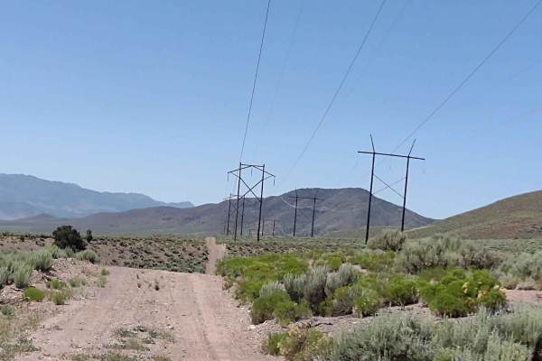
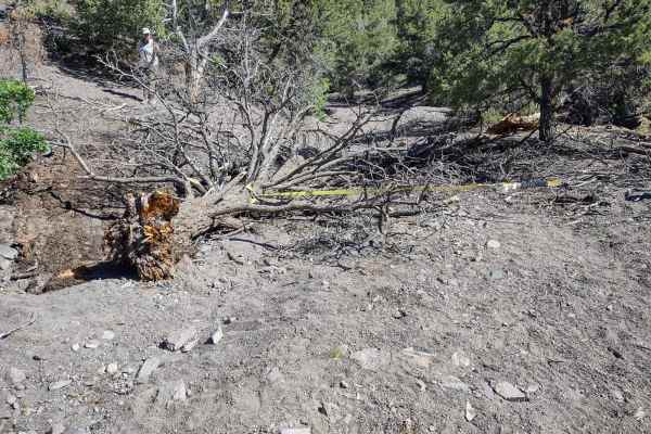
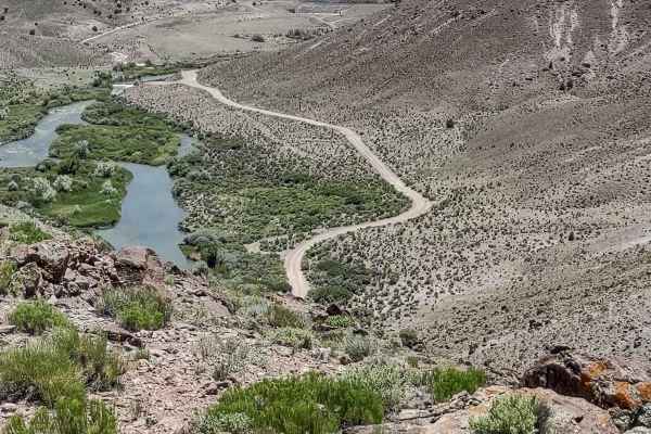
The Rollercoaster starts out as a dirt trail, wandering through the draws between the hills in this area. Before long, you are in and out of the wash, so early spring this trail will be wet, if accessible at all. Heavy summer rains may close this area, too. Once you turn uphill and leave the wash, the rollercoaster begins with a long, steep, rocky pull to the top of the first hill. The views of Piute Reservoir and the valley below are great from up high. Then you drop down off the hill, into the draw to the south, winding through the trees and some water runoff areas. The next phase of the Rollercoaster goes back uphill, over some very rocky terrain, through and around the trees. The trail has been cleared of branches and even trees in some areas to make the track navigable. We drive a 4-seater 72" SXS, and the trail was wide enough for us. From the top of the next hill, you begin to drop down into the next draw. There are places you're going down what looks like a rock slide, but it's stable and not difficult. You drop down almost to the bottom of the draw, and unfortunately, the two-track trail ends there. Hopefully, the Forest Service will finish clearing the track to make this loop complete, but for now, it's a dead-end, and you return on the Rollercoaster in the opposite direction. The rating of a 4 is based on the steepness of the hills in places, the rock obstacles, and the potential for water in the bottom of the draws. It's not fast like a rollercoaster, but it's got the ups, the downs, the twists, and the turns. Don't forget, to off-road in UT you need to have the online education course certificate as well as the OHV sticker.