Off-Road Trails in Utah
Discover off-road trails in Utah
Learn more about Motoqua - Square Top Mountain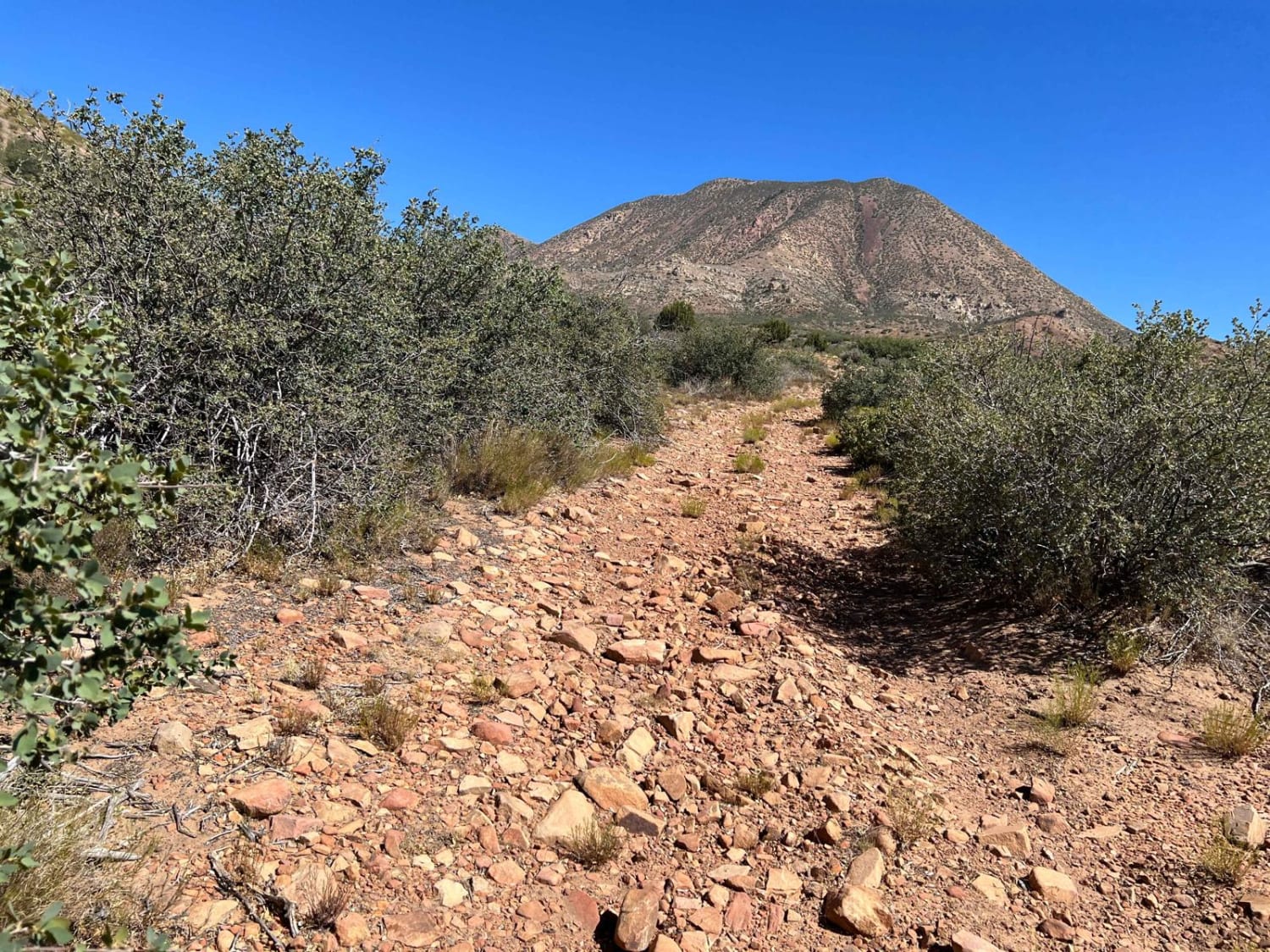
Motoqua - Square Top Mountain
Total Miles
12.2
Tech Rating
Easy
Best Time
Spring, Summer, Fall, Winter
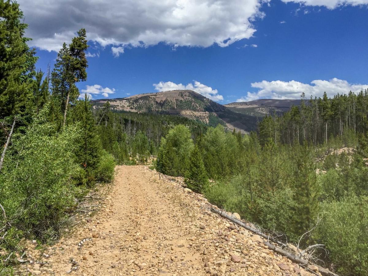
Learn more about Mount Baldy Road
Mount Baldy Road
Total Miles
4.5
Tech Rating
Moderate
Best Time
Fall, Summer, Spring
Learn more about Mount Dutton - Cottonwood (30125/30353)
Mount Dutton - Cottonwood (30125/30353)
Total Miles
39.1
Tech Rating
Easy
Best Time
Spring, Summer, Fall
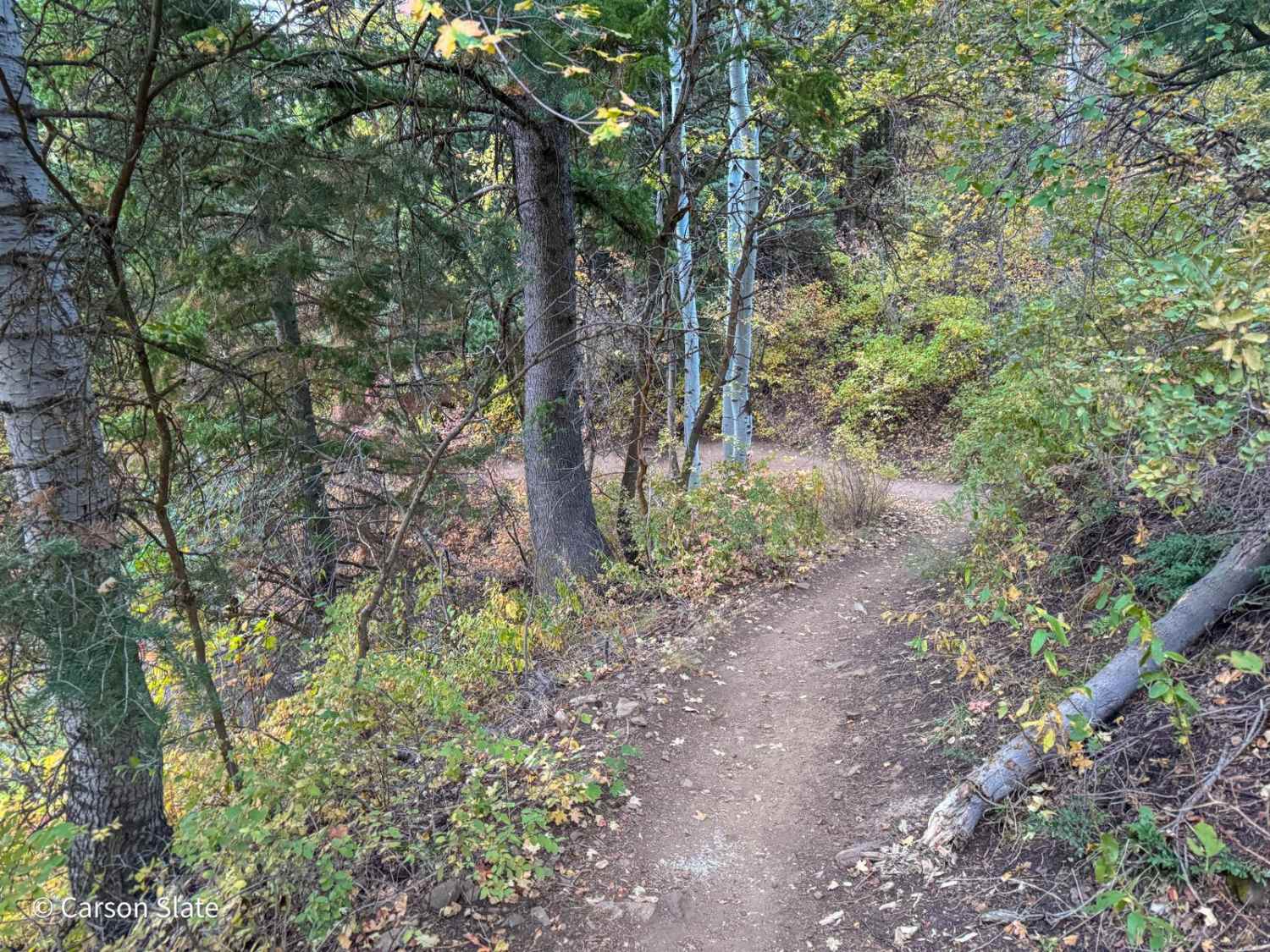
Learn more about Mount Logan Millville Canyon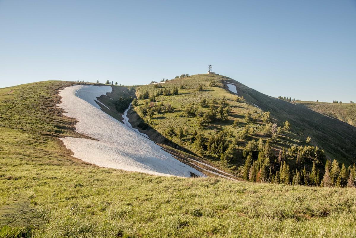
Mount Logan Millville Canyon
Total Miles
12.1
Tech Rating
Moderate
Best Time
Spring, Summer, Fall, Winter
Learn more about Mount Logan Right Hand Fork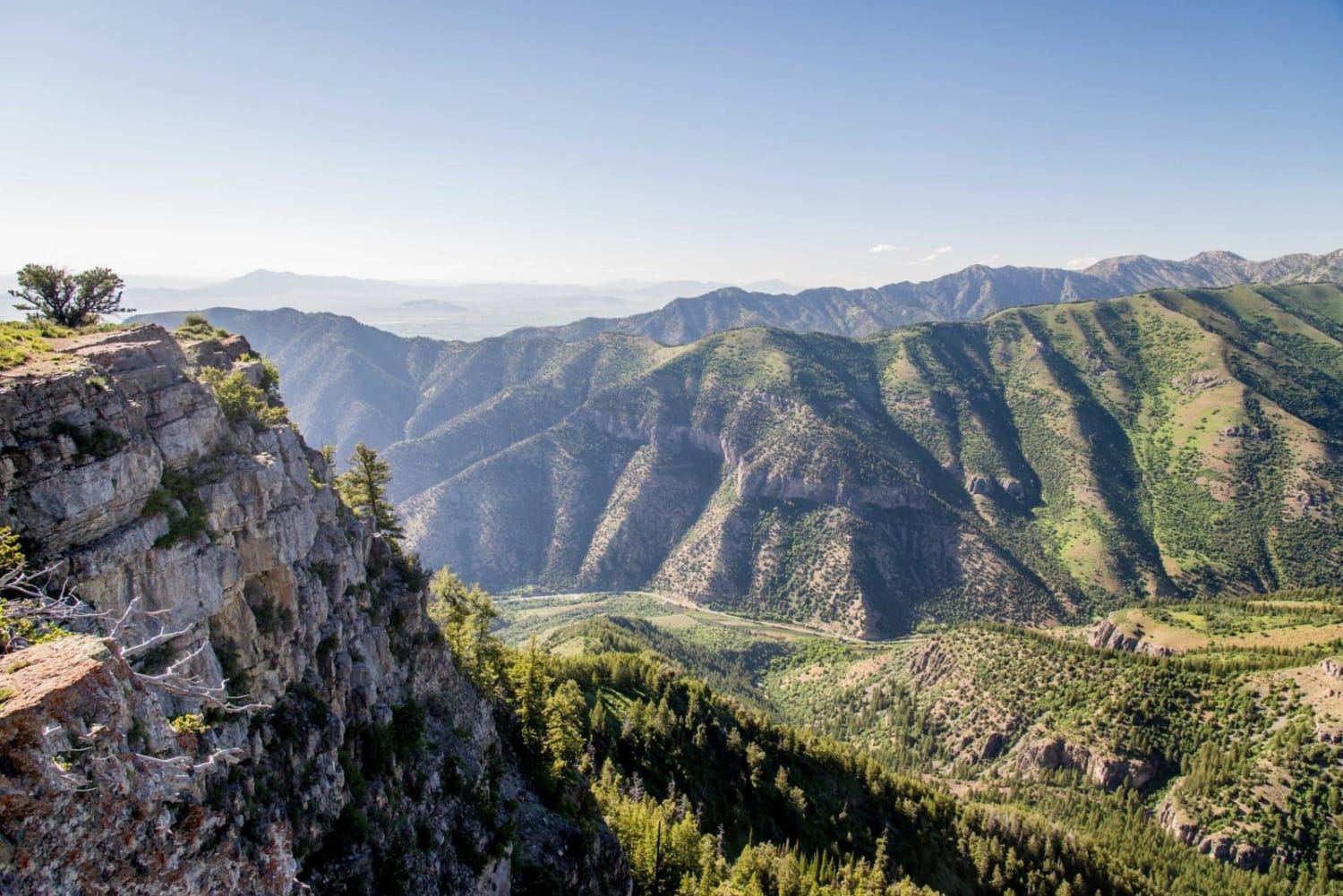
Mount Logan Right Hand Fork
Total Miles
28.0
Tech Rating
Moderate
Best Time
Spring, Summer, Fall, Winter

Learn more about Mount Pisgah Road
Mount Pisgah Road
Total Miles
5.8
Tech Rating
Easy
Best Time
Spring, Summer, Fall
Learn more about Mountain Pass alt route
Mountain Pass alt route
Total Miles
4.3
Tech Rating
Easy
Best Time
Spring, Summer, Fall
Learn more about Mud Creek Road - 70150
Mud Creek Road - 70150
Total Miles
4.5
Tech Rating
Easy
Best Time
Spring, Summer, Fall
Learn more about Mud Flat Clear Cr (FS# 40115 & 41038)
Mud Flat Clear Cr (FS# 40115 & 41038)
Total Miles
2.1
Tech Rating
Moderate
Best Time
Summer, Fall
Learn more about Mud Springs (2173)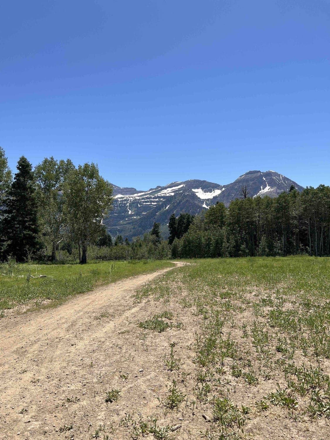
Mud Springs (2173)
Total Miles
2.7
Tech Rating
Moderate
Best Time
Summer
Learn more about Mud Springs Road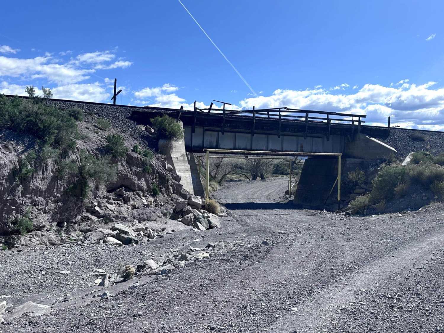
Mud Springs Road
Total Miles
4.8
Tech Rating
Easy
Best Time
Spring, Summer, Fall
Learn more about Muddy Creek Wilderness Trail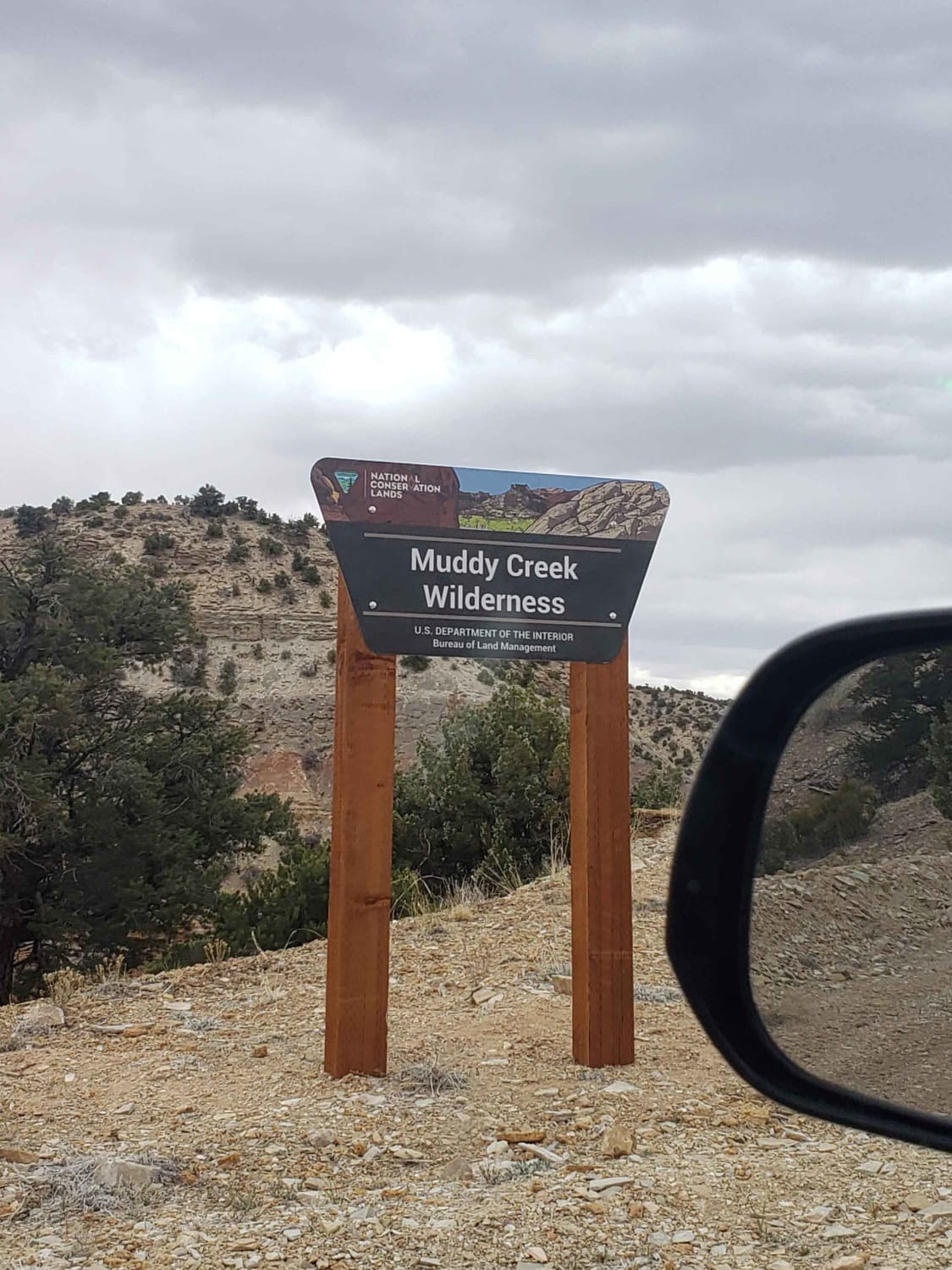
Muddy Creek Wilderness Trail
Total Miles
14.6
Tech Rating
Easy
Best Time
Winter, Fall, Summer, Spring
Learn more about Muddy Thru Reef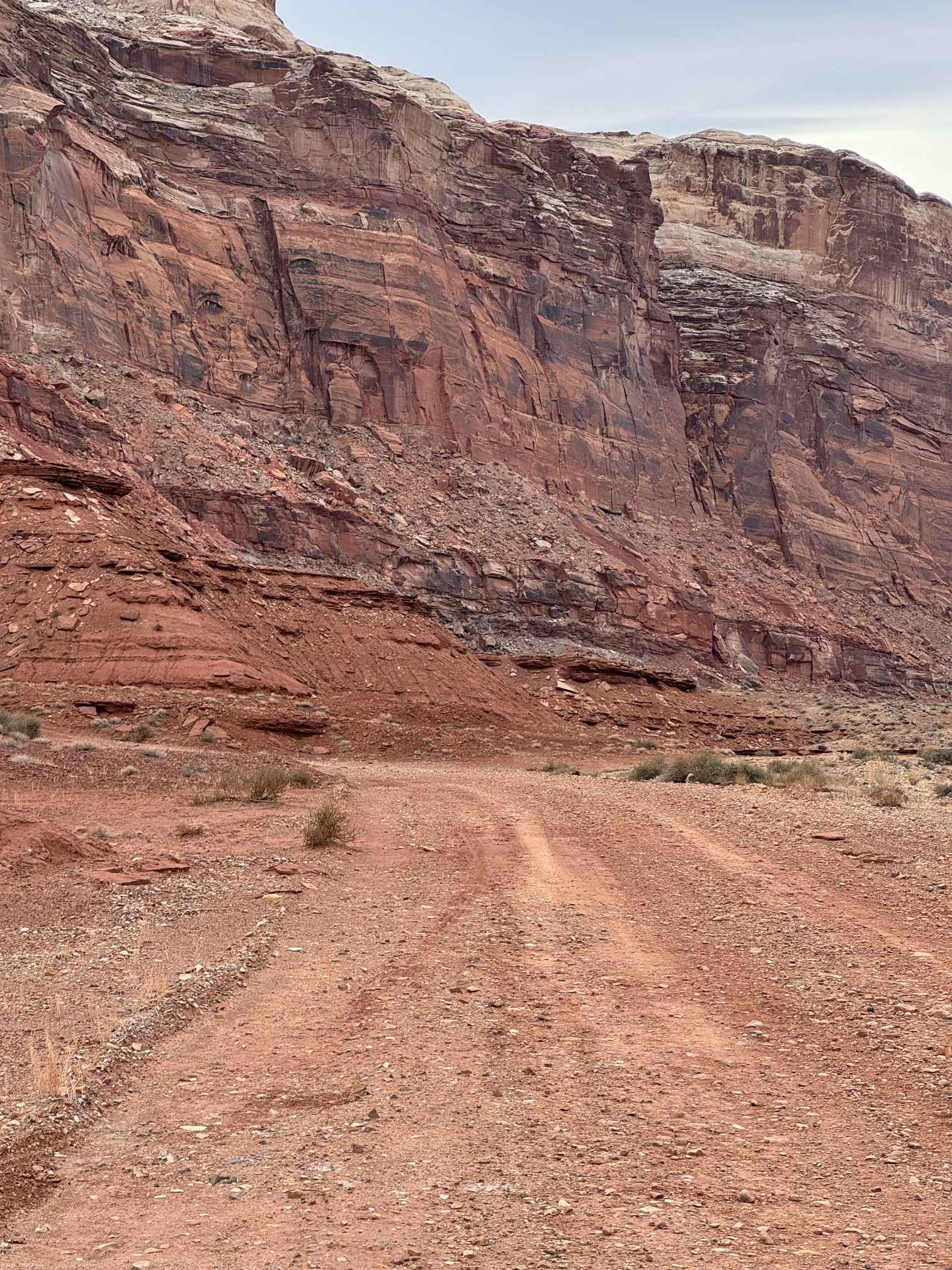
Muddy Thru Reef
Total Miles
0.5
Tech Rating
Easy
Best Time
Spring, Summer, Fall, Winter

Learn more about Muley Point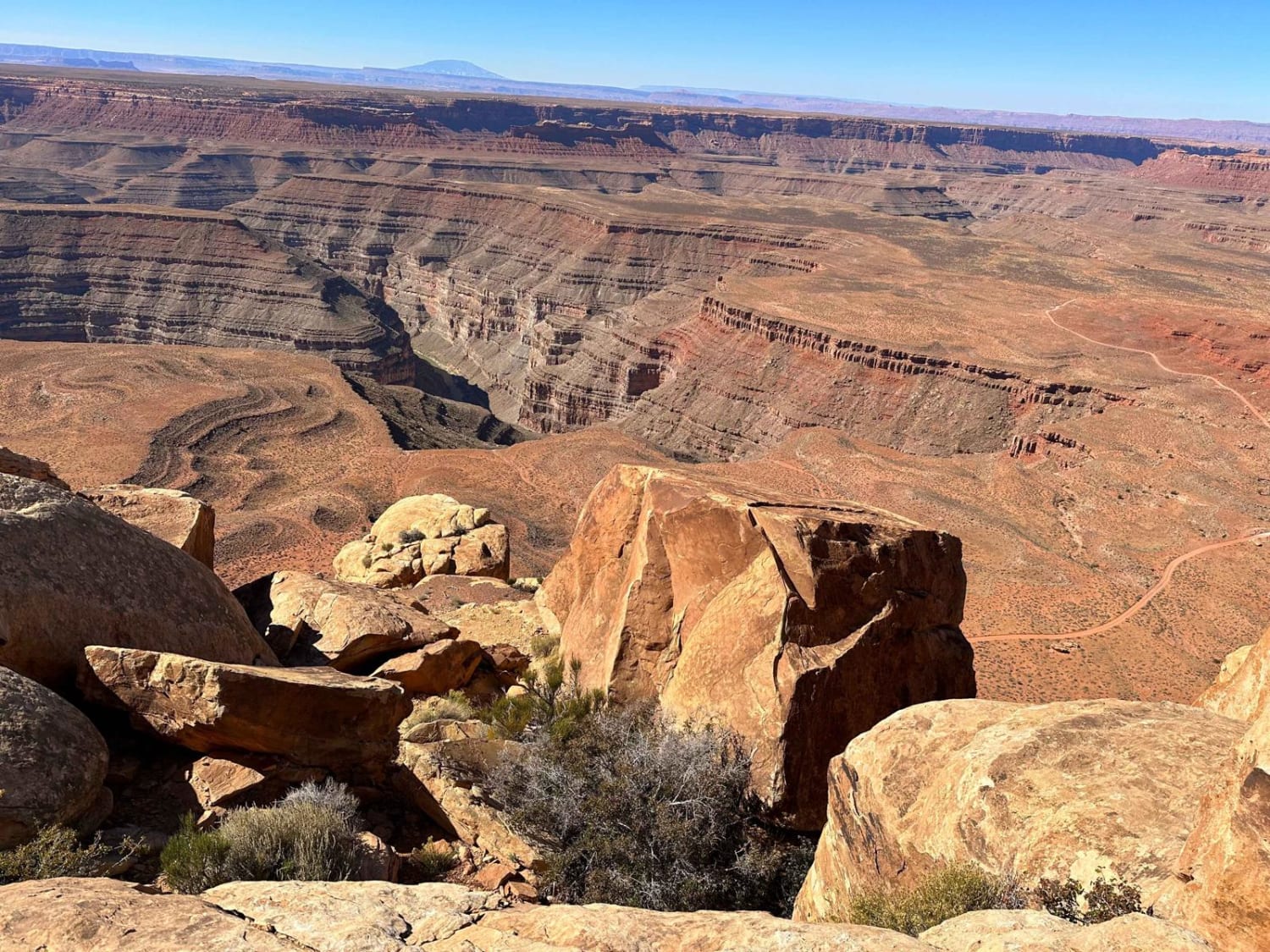
Muley Point
Total Miles
4.9
Tech Rating
Easy
Best Time
Spring, Summer, Fall, Winter
Learn more about Murdock Basin - FR 80137
Murdock Basin - FR 80137
Total Miles
8.4
Tech Rating
Moderate
Best Time
Summer, Fall
ATV trails in Utah

Learn more about 14 Mile Road
14 Mile Road
Total Miles
14.7
Tech Rating
Easy
Best Time
Spring, Summer, Fall, Winter


UTV/side-by-side trails in Utah
Learn more about 14 Mile Road
14 Mile Road
Total Miles
14.7
Tech Rating
Easy
Best Time
Spring, Summer, Fall, Winter
The onX Offroad Difference
onX Offroad combines trail photos, descriptions, difficulty ratings, width restrictions, seasonality, and more in a user-friendly interface. Available on all devices, with offline access and full compatibility with CarPlay and Android Auto. Discover what you’re missing today!