Motoqua - Square Top Mountain
Total Miles
12.2
Technical Rating
Best Time
Spring, Summer, Fall, Winter
Trail Type
High-Clearance 4x4 Trail
Accessible By
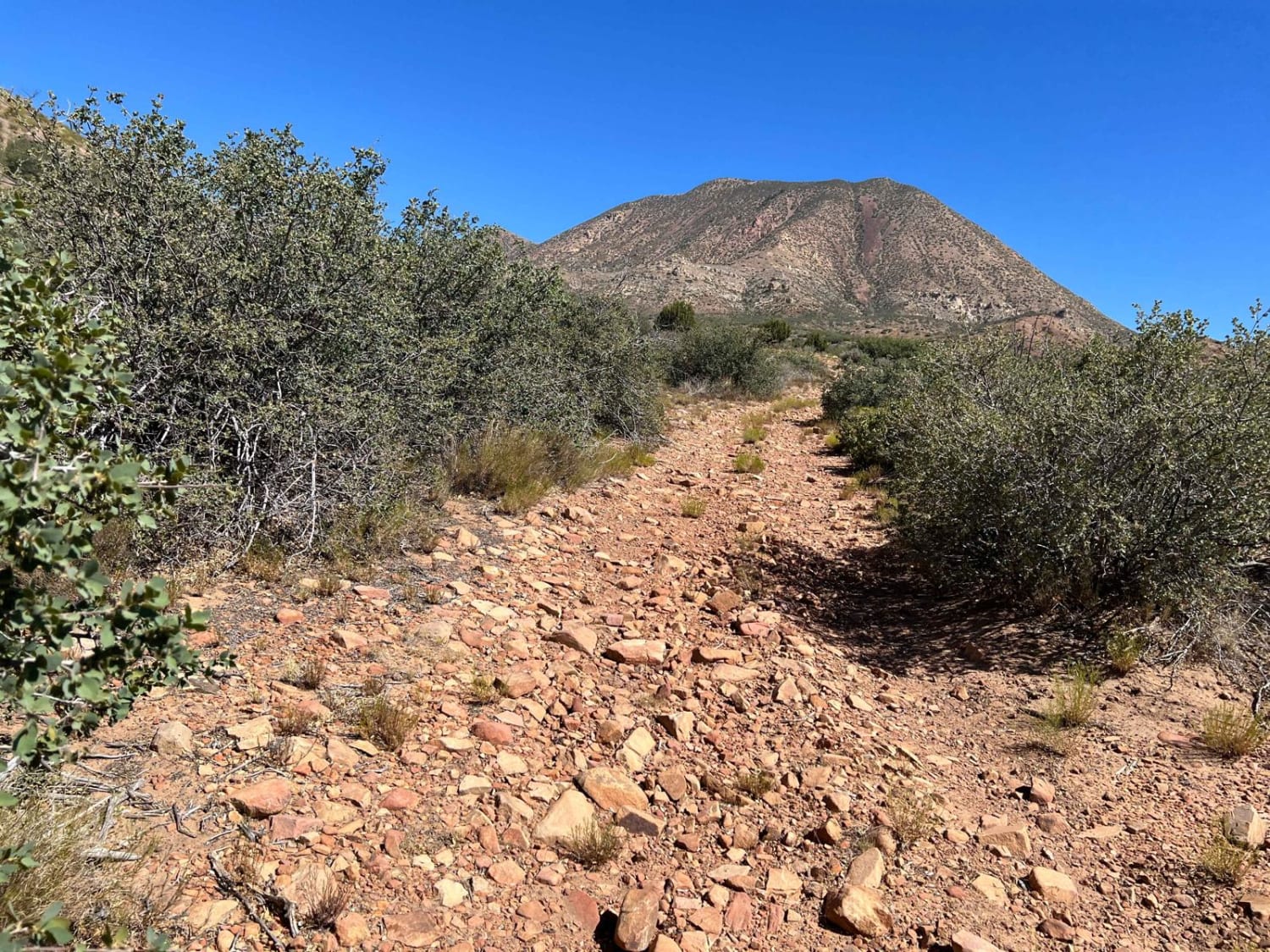
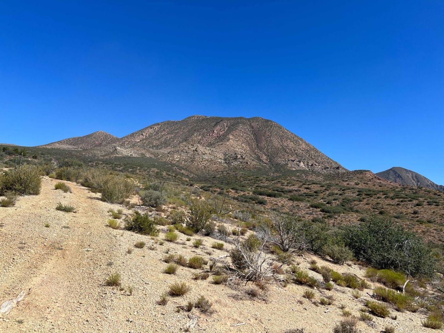
Trail Overview
This is a side trip off Motoqua Road that will take you near the base of Square Top Mountain. In 1983 a B-52 missed clearing the top by 250'. Those that have been to the top say the area looks like someone took a B-52 and put it in a blender and then scattered the results. This is a very rocky trail and if all you want to do is see the mountain from afar, then go to where the rocks start and turn around. It doesn't get any better. There is an interesting wildlife water catchment system and another, unknown, item up the trail.
Photos of Motoqua - Square Top Mountain
Difficulty
This trail is rated a 2 but the trail is very rocky with sharp rocks. The best description of the trail is annoyingly rocky. There are some beautiful views of the valley upon the return but those can be had with much less trouble.
Status Reports
Motoqua - Square Top Mountain can be accessed by the following ride types:
- High-Clearance 4x4
- SxS (60")
- ATV (50")
- Dirt Bike
Motoqua - Square Top Mountain Map
Popular Trails

BLM D0148 - Ruin Canyon
Sheep Creek Road

Spring Desert Road - BLM13410
Salt Valley Gorge Connector East
The onX Offroad Difference
onX Offroad combines trail photos, descriptions, difficulty ratings, width restrictions, seasonality, and more in a user-friendly interface. Available on all devices, with offline access and full compatibility with CarPlay and Android Auto. Discover what you’re missing today!