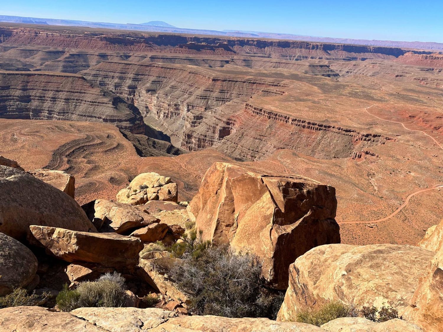
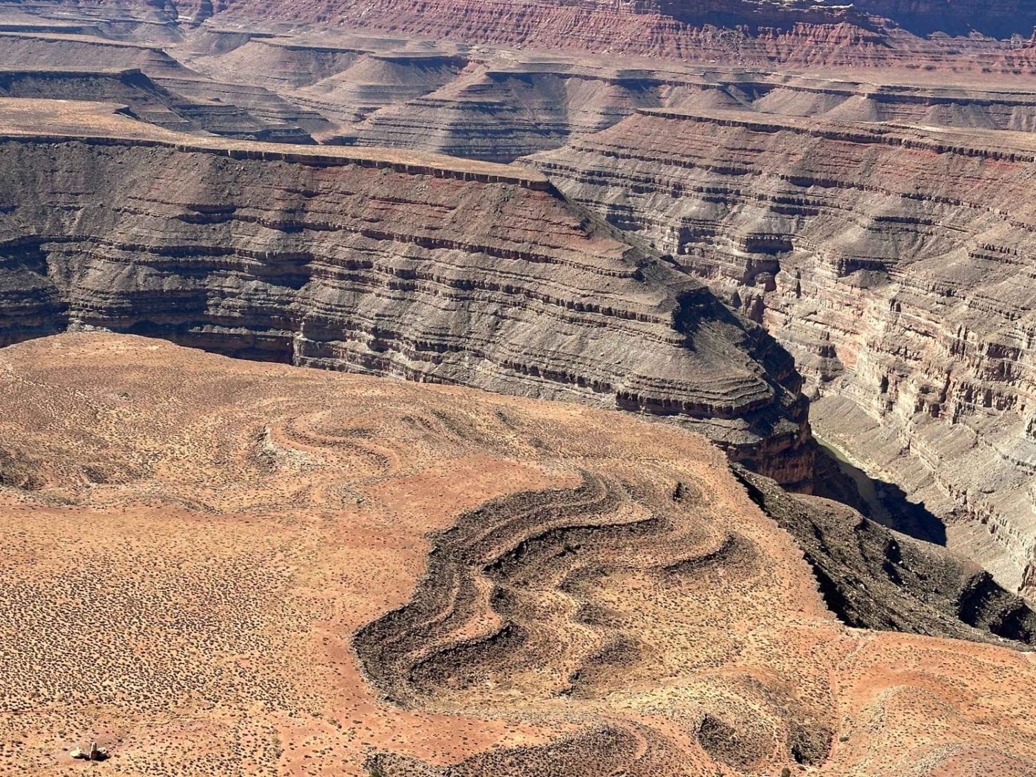
Muley Point
Total Miles
4.9
Technical Rating
Best Time
Spring, Summer, Fall, Winter
Trail Type
Full-Width Road
Accessible By
Trail Overview
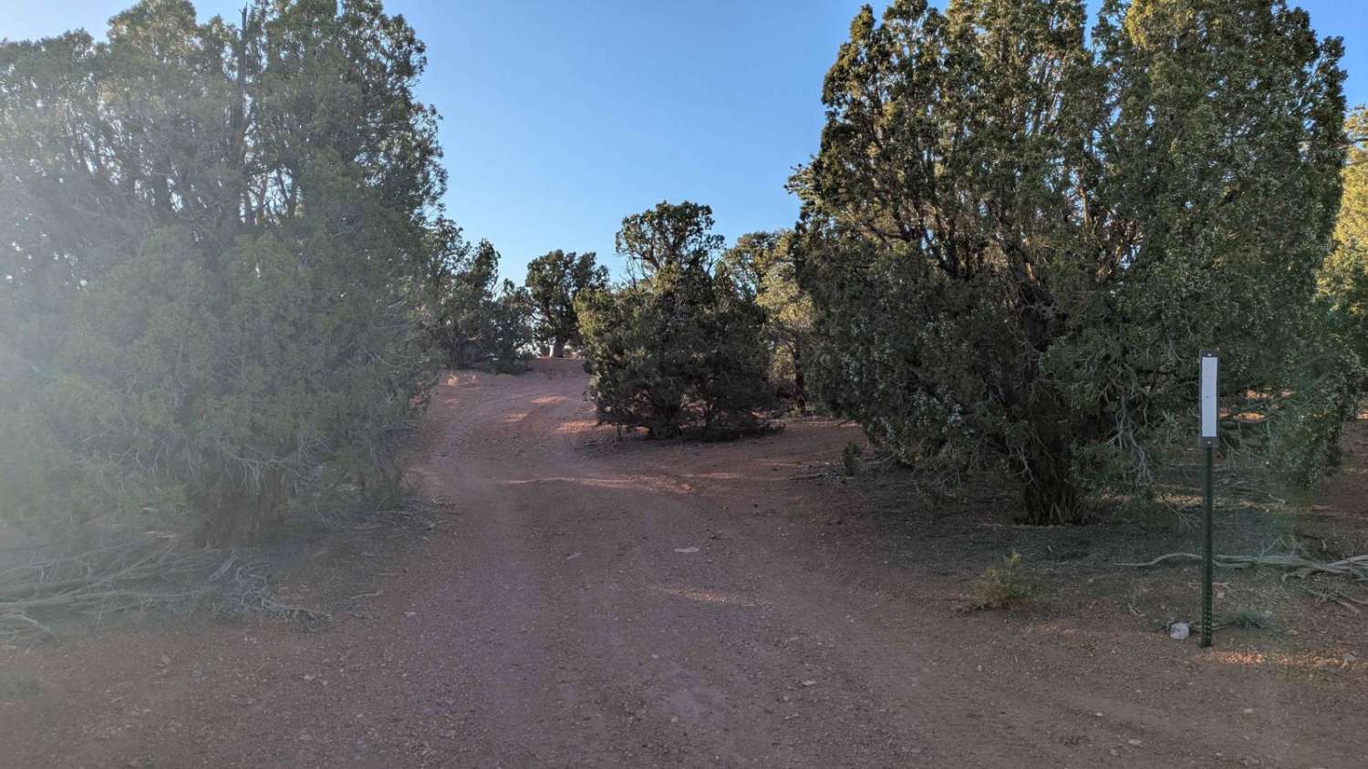
This route follows a gravel road that is easy to navigate when dry, but a high-clearance vehicle with 4WD is preferred. It offers great viewpoints of the San Juan River Canyon. Starting from Highway 261 on Cedar Mesa at the top of Moki Dugway, it is best traveled in dry conditions, as the road will be slick and greasy when wet.
Photos of Muley Point
Difficulty
Highway 261 is the only access; licensed vehicles are required to get to the trail. There are no services.
Status Reports
Muley Point can be accessed by the following ride types:
- High-Clearance 4x4
- SUV
- SxS (60")
- ATV (50")
- Dirt Bike
Muley Point Map
Popular Trails
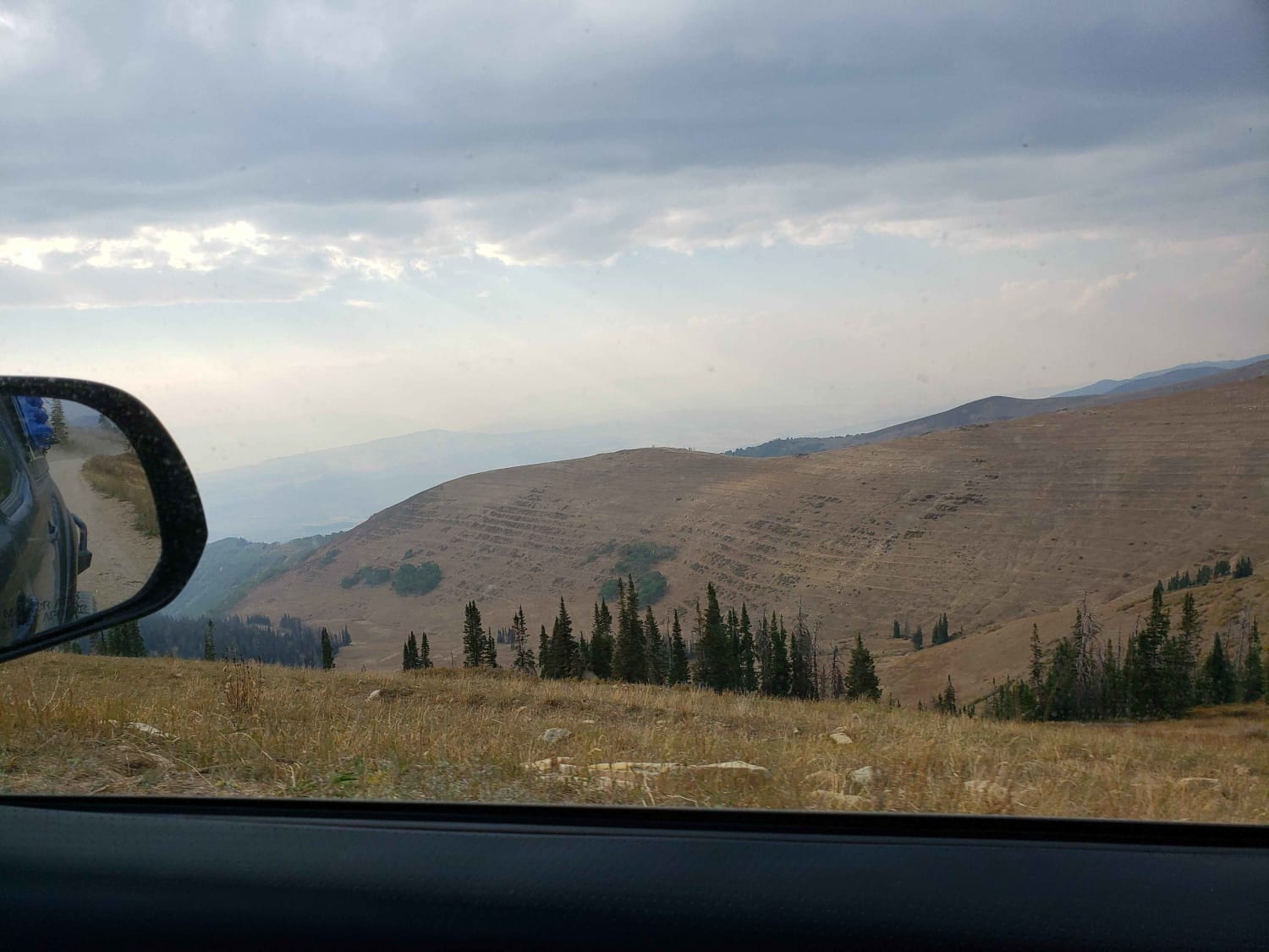
Skyline Drive North
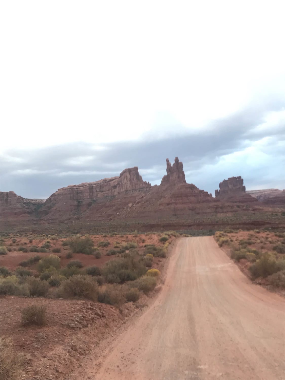
Valley of the Gods
Old Iron Town East BLM 31027
The onX Offroad Difference
onX Offroad combines trail photos, descriptions, difficulty ratings, width restrictions, seasonality, and more in a user-friendly interface. Available on all devices, with offline access and full compatibility with CarPlay and Android Auto. Discover what you’re missing today!
