Mount Logan Right Hand Fork
Total Miles
28.0
Technical Rating
Best Time
Spring, Summer, Fall, Winter
Trail Type
Full-Width Road
Accessible By
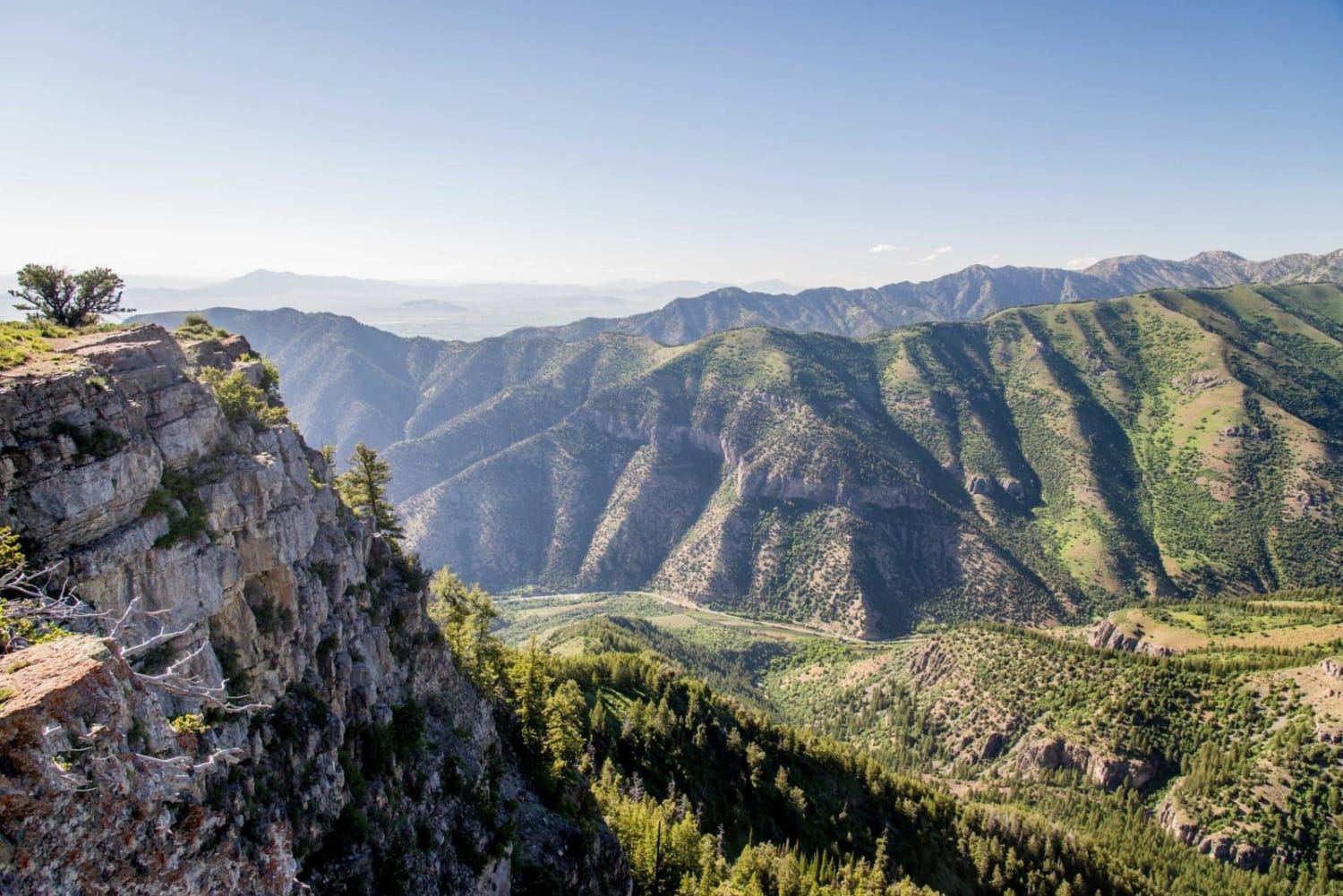
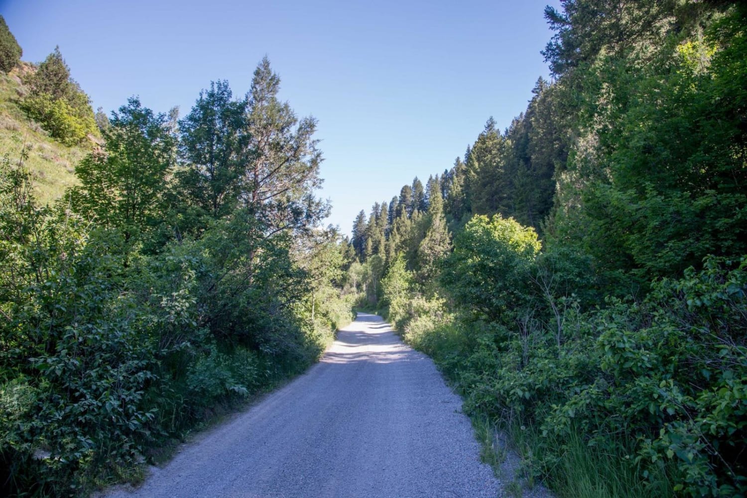
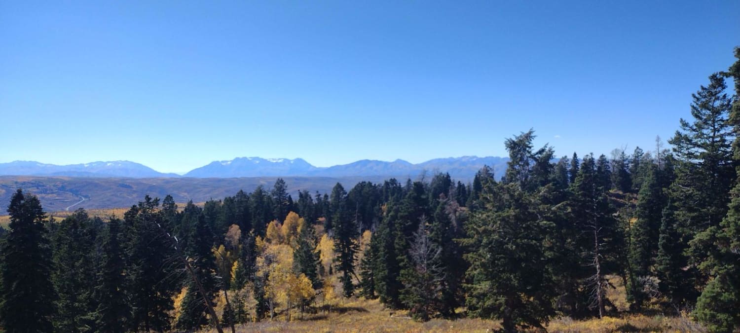
Trail Overview
This ride is the easiest way to reach Logan Peak. It starts out going from Right Hand Fork up Cowley Canyon before climbing all the way to the peak. There are some beatufiul side roads along the way, and options for several days of riding in the area.
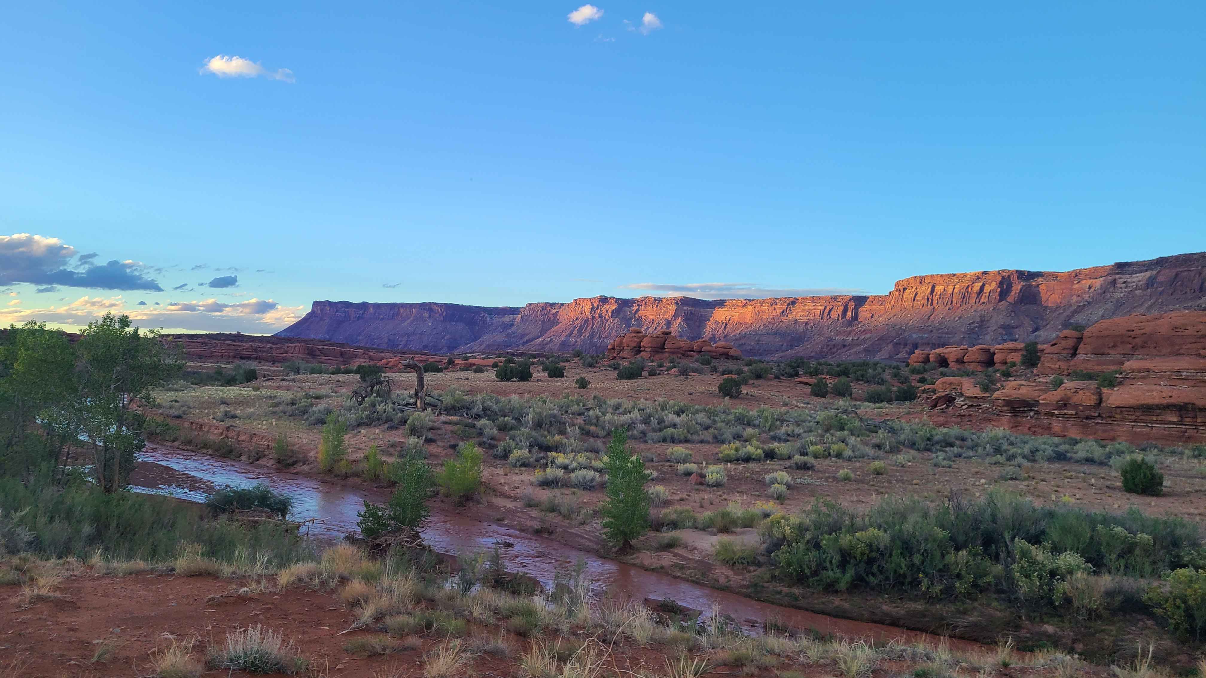
Photos of Mount Logan Right Hand Fork
Status Reports
Mount Logan Right Hand Fork can be accessed by the following ride types:
- High-Clearance 4x4
- SUV
- SxS (60")
- ATV (50")
- Dirt Bike
Mount Logan Right Hand Fork Map
Popular Trails
Limekiln Road-BLM2350
Total Miles
8.7
Tech Rating
Easy
Best Time
Sp / Su / Fa

Sweetwater-NFS30494
Total Miles
2.9
Tech Rating
Easy
Best Time
Sp / Su
FS 80200 Cedar Hollow North 1
Total Miles
1.5
Tech Rating
Moderate
Best Time
Su / Fa
Hamburgler - BLM D1453/D1455
Total Miles
1.5
Tech Rating
Easy
Best Time
Sp / Fa
The onX Offroad Difference
onX Offroad combines trail photos, descriptions, difficulty ratings, width restrictions, seasonality, and more in a user-friendly interface. Available on all devices, with offline access and full compatibility with CarPlay and Android Auto. Discover what you’re missing today!