Off-Road Trails in Utah
Discover off-road trails in Utah
Learn more about Mill Hollow - Duchesne Ridge (FR 70054)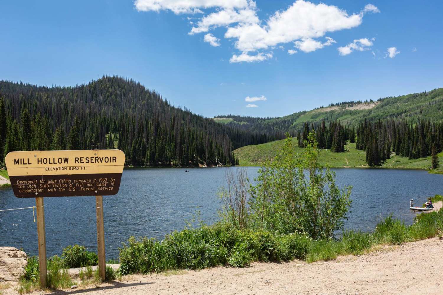
Mill Hollow - Duchesne Ridge (FR 70054)
Total Miles
10.4
Tech Rating
Easy
Best Time
Summer, Fall
Learn more about Mill Hollow Ridge - FR 70060
Mill Hollow Ridge - FR 70060
Total Miles
3.5
Tech Rating
Easy
Best Time
Summer, Fall
Learn more about Mill Hollow to Current Creek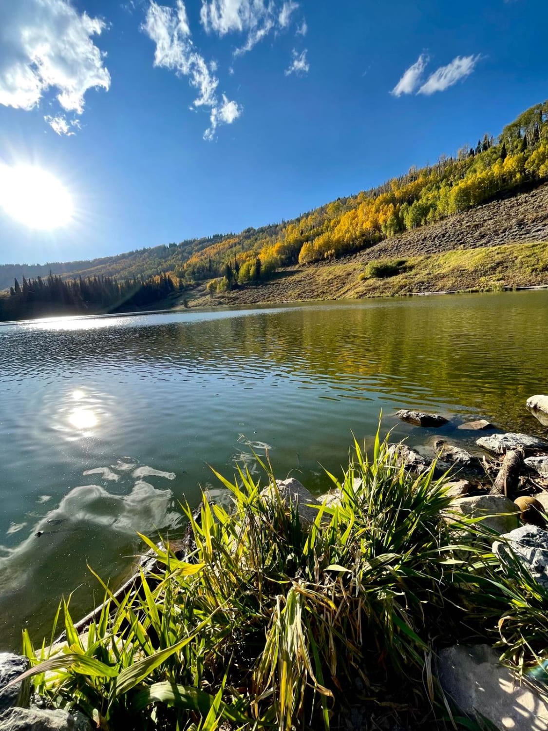
Mill Hollow to Current Creek
Total Miles
23.0
Tech Rating
Easy
Best Time
Fall

Learn more about Millers Flat Road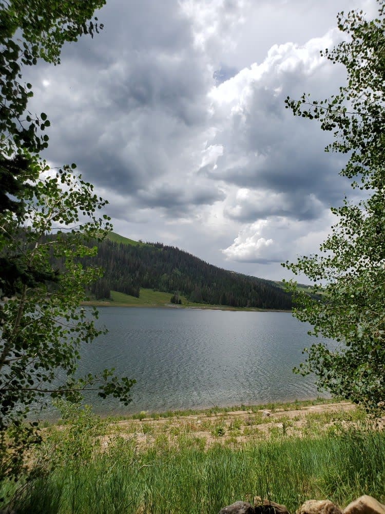
Millers Flat Road
Total Miles
17.6
Tech Rating
Easy
Best Time
Spring, Summer
Learn more about Millie Springs Road
Millie Springs Road
Total Miles
5.6
Tech Rating
Easy
Best Time
Fall, Summer, Spring
Learn more about Milt's Mile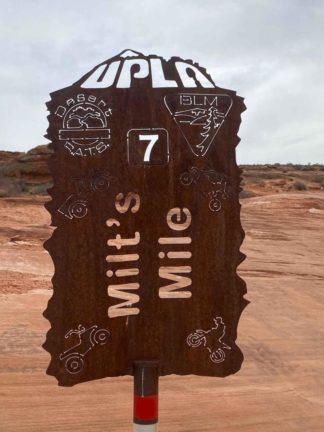
Milt's Mile
Total Miles
1.6
Tech Rating
Difficult
Best Time
Spring, Fall, Winter
Learn more about Milt's Mile Lite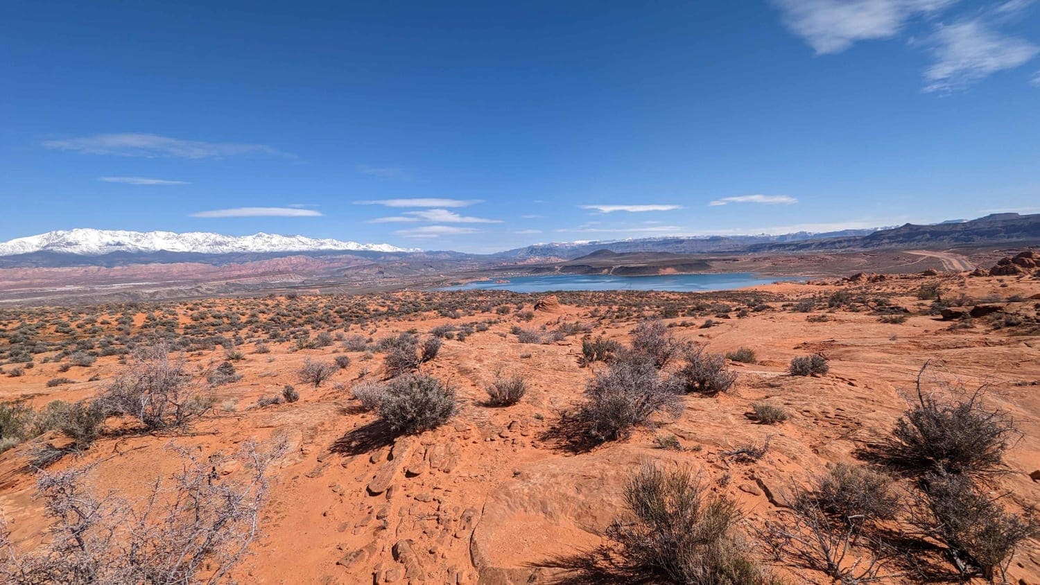
Milt's Mile Lite
Total Miles
4.0
Tech Rating
Moderate
Best Time
Spring, Summer, Fall, Winter
Learn more about Miner Canyon/Kimbell Mine
Miner Canyon/Kimbell Mine
Total Miles
4.4
Tech Rating
Moderate
Best Time
Fall, Summer, Spring
Learn more about Miner's Cabin (Gold Gulch Canyon FS# 41078)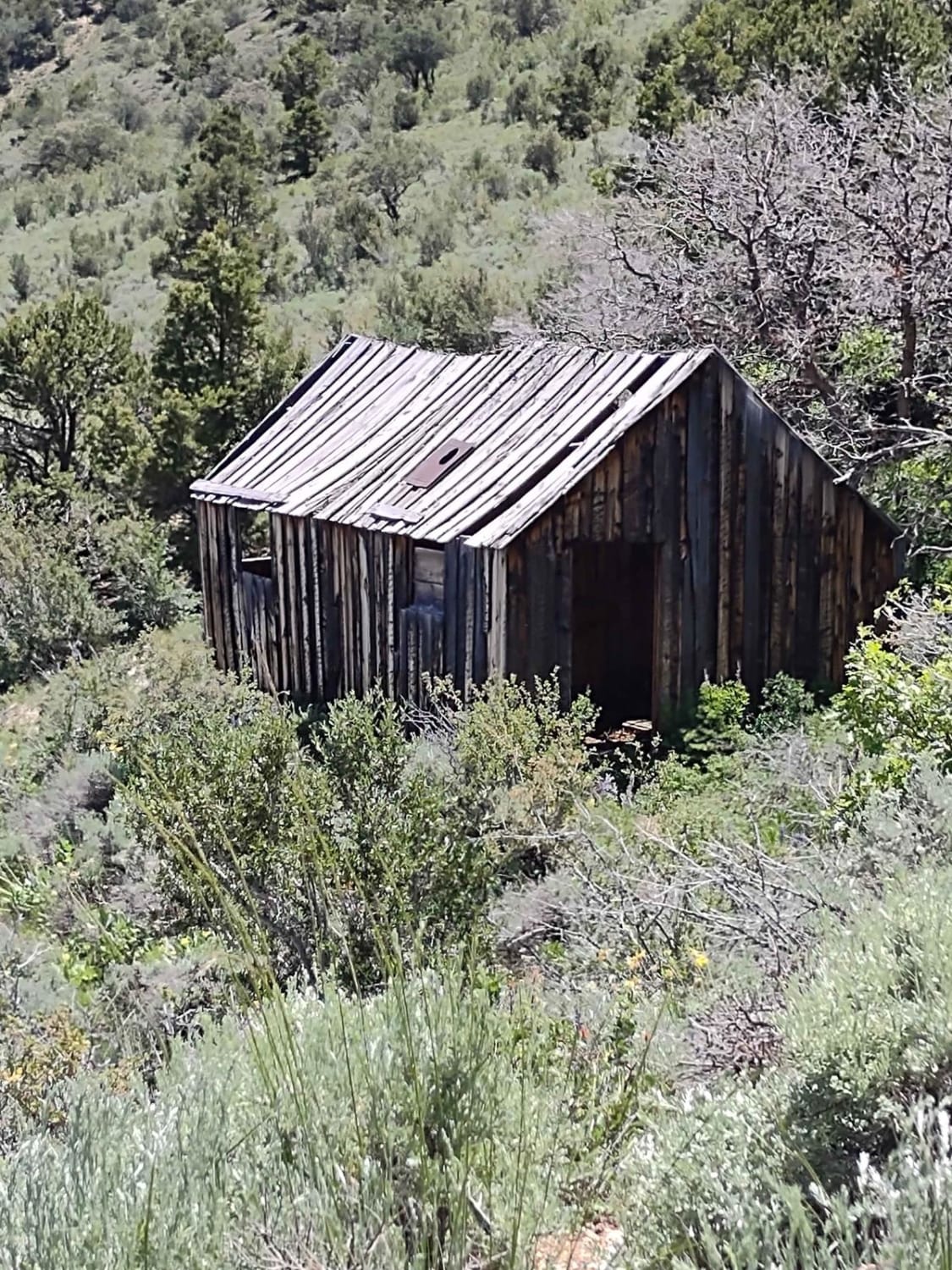
Miner's Cabin (Gold Gulch Canyon FS# 41078)
Total Miles
1.9
Tech Rating
Easy
Best Time
Summer, Fall
Learn more about Miner's Canyon Road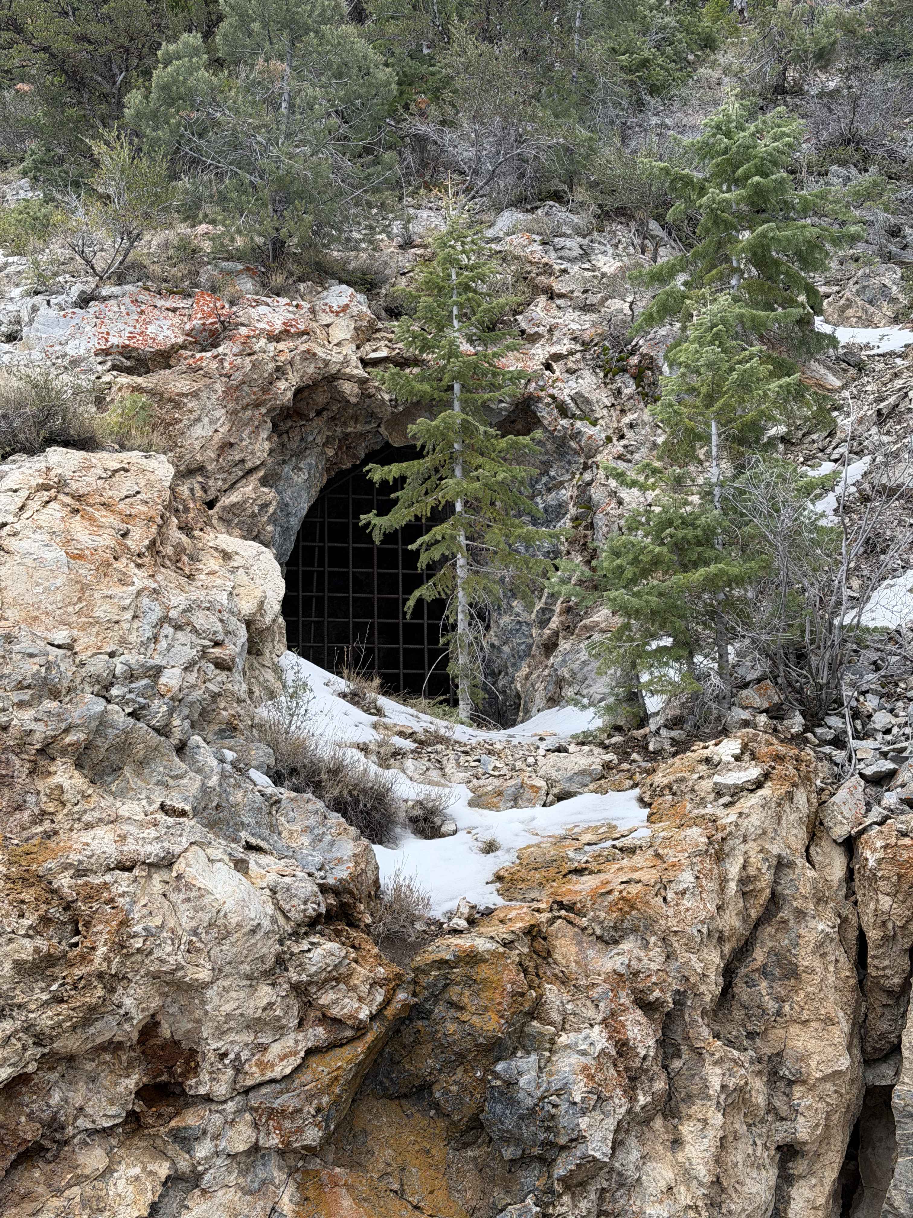
Miner's Canyon Road
Total Miles
4.0
Tech Rating
Easy
Best Time
Spring, Summer, Fall
Learn more about Miner's Ridge BLM30741
Miner's Ridge BLM30741
Total Miles
3.2
Tech Rating
Easy
Best Time
Fall, Summer, Spring
Learn more about Mineral Basin Trail
Mineral Basin Trail
Total Miles
2.8
Tech Rating
Difficult
Best Time
Summer
Learn more about Mineral Canyon Road-Grand CR129
Mineral Canyon Road-Grand CR129
Total Miles
3.3
Tech Rating
Easy
Best Time
Spring, Summer, Fall, Winter
ATV trails in Utah

Learn more about 14 Mile Road
14 Mile Road
Total Miles
14.7
Tech Rating
Easy
Best Time
Spring, Summer, Fall, Winter


UTV/side-by-side trails in Utah
Learn more about 14 Mile Road
14 Mile Road
Total Miles
14.7
Tech Rating
Easy
Best Time
Spring, Summer, Fall, Winter
The onX Offroad Difference
onX Offroad combines trail photos, descriptions, difficulty ratings, width restrictions, seasonality, and more in a user-friendly interface. Available on all devices, with offline access and full compatibility with CarPlay and Android Auto. Discover what you’re missing today!