Off-Road Trails in Utah
Discover off-road trails in Utah
Learn more about Lower South Desert Overlook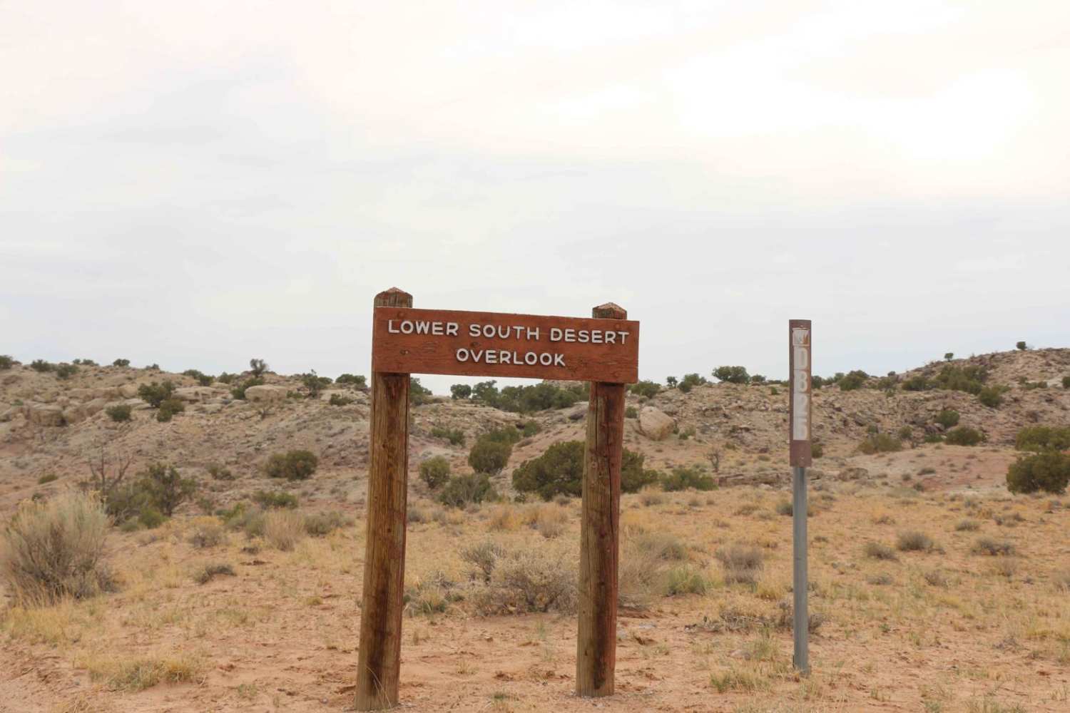
Lower South Desert Overlook
Total Miles
1.1
Tech Rating
Easy
Best Time
Spring, Summer, Fall, Winter
Learn more about Lower Stock Pond Trail
Lower Stock Pond Trail
Total Miles
1.6
Tech Rating
Moderate
Best Time
Spring, Summer, Fall
Learn more about Lower Toquerville Alternate - Single Track
Lower Toquerville Alternate - Single Track
Total Miles
1.2
Tech Rating
Moderate
Best Time
Spring, Summer, Fall, Winter
Learn more about Lower Warner Ridge
Lower Warner Ridge
Total Miles
1.6
Tech Rating
Moderate
Best Time
Spring, Summer, Fall, Winter
Learn more about Lower Warner Ridge- Southern Portion
Lower Warner Ridge- Southern Portion
Total Miles
1.8
Tech Rating
Easy
Best Time
Summer, Fall, Winter, Spring
Learn more about Lower Wedge Road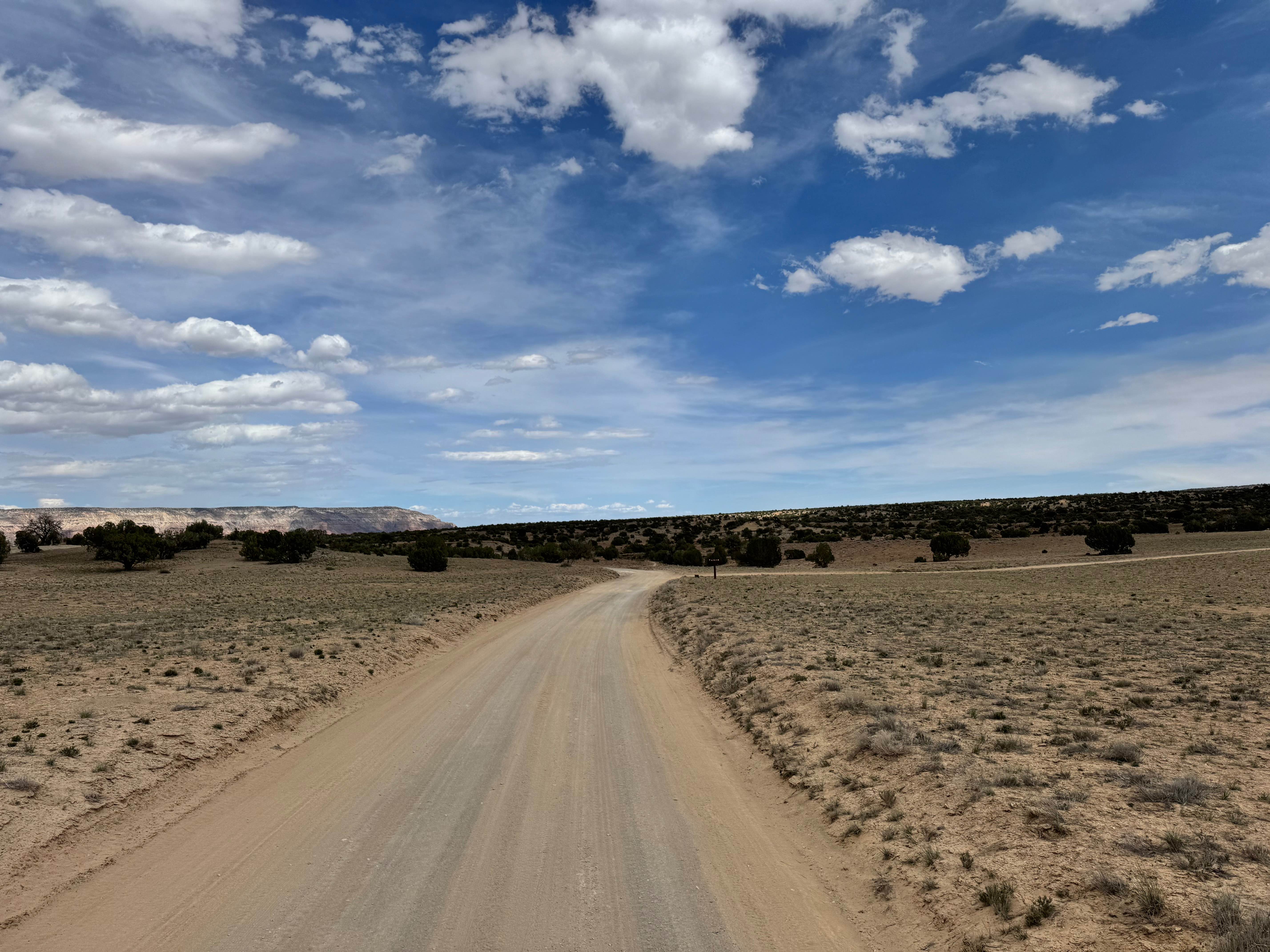
Lower Wedge Road
Total Miles
3.7
Tech Rating
Easy
Best Time
Spring, Summer, Fall, Winter
Learn more about Lowry Fork Fox Run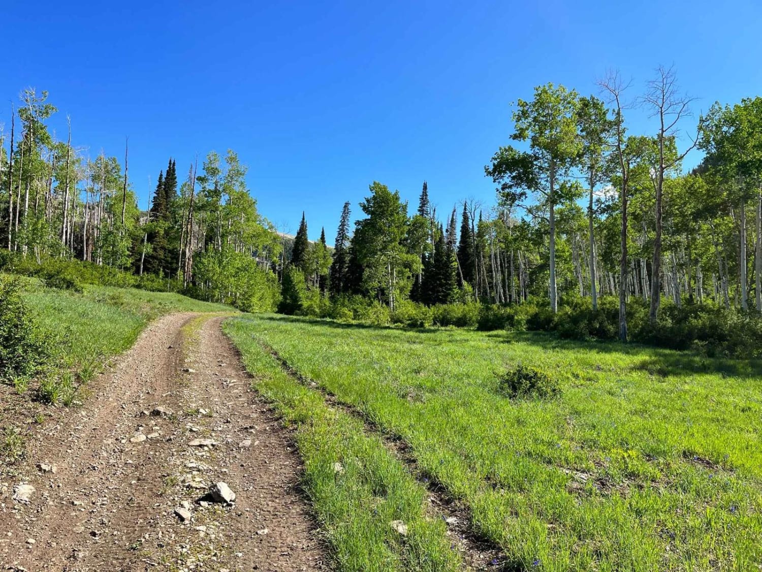
Lowry Fork Fox Run
Total Miles
4.6
Tech Rating
Easy
Best Time
Spring, Summer, Fall
Learn more about Lym Lake 4x4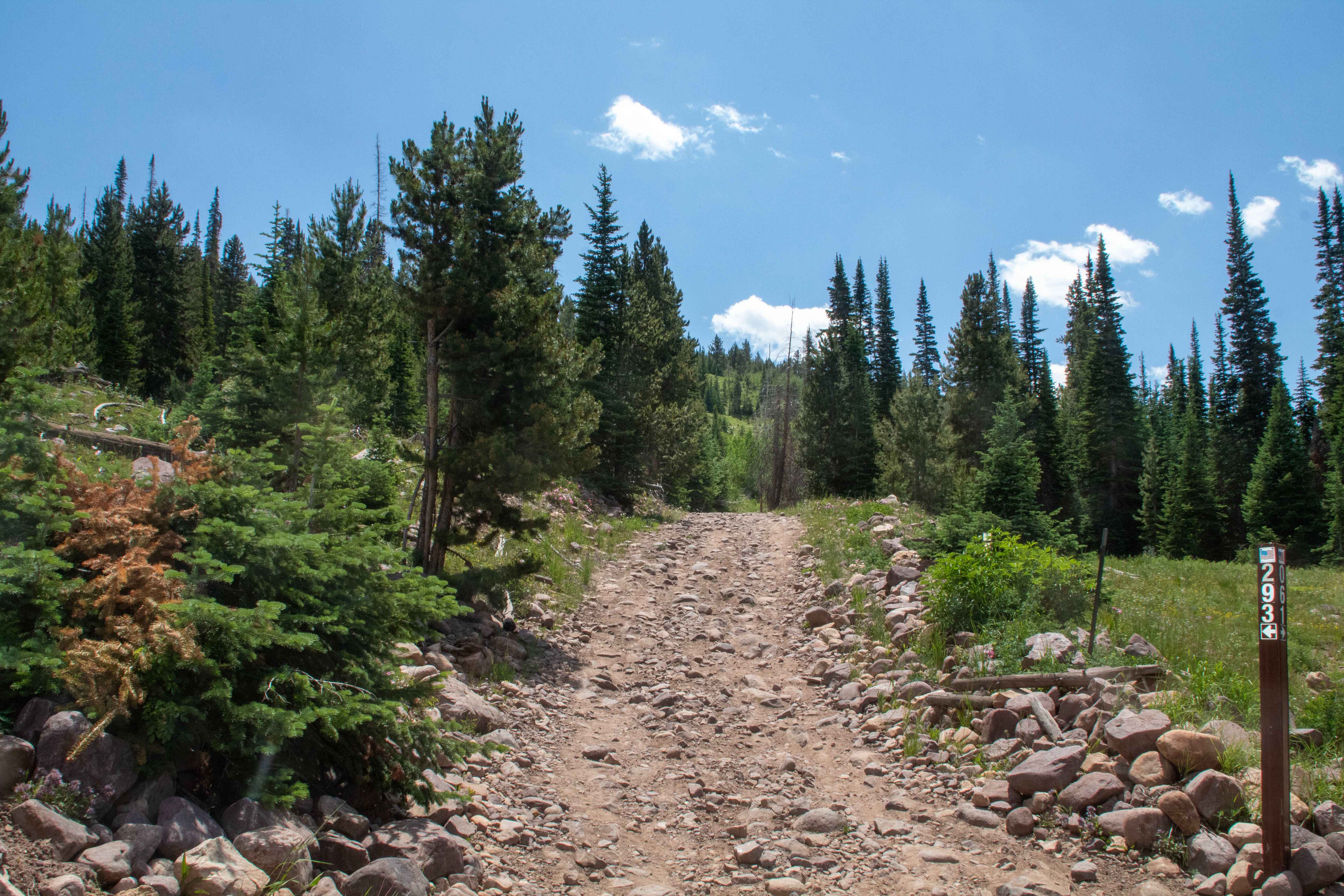
Lym Lake 4x4
Total Miles
3.3
Tech Rating
Moderate
Best Time
Spring, Summer, Fall
Learn more about Lytle Ranch Road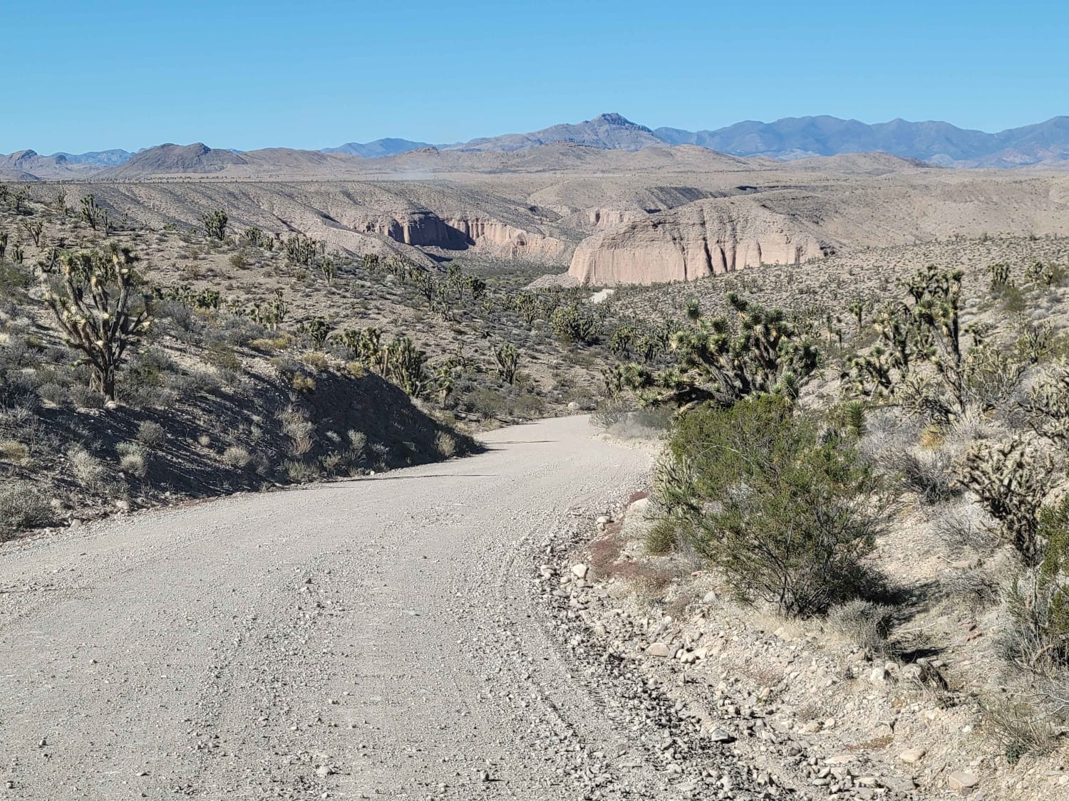
Lytle Ranch Road
Total Miles
5.8
Tech Rating
Easy
Best Time
Winter, Fall, Spring
Learn more about Lytle Ranch Road East
Lytle Ranch Road East
Total Miles
4.8
Tech Rating
Easy
Best Time
Spring, Summer, Fall, Winter
Learn more about Magpie Road to West Canyon Trailhead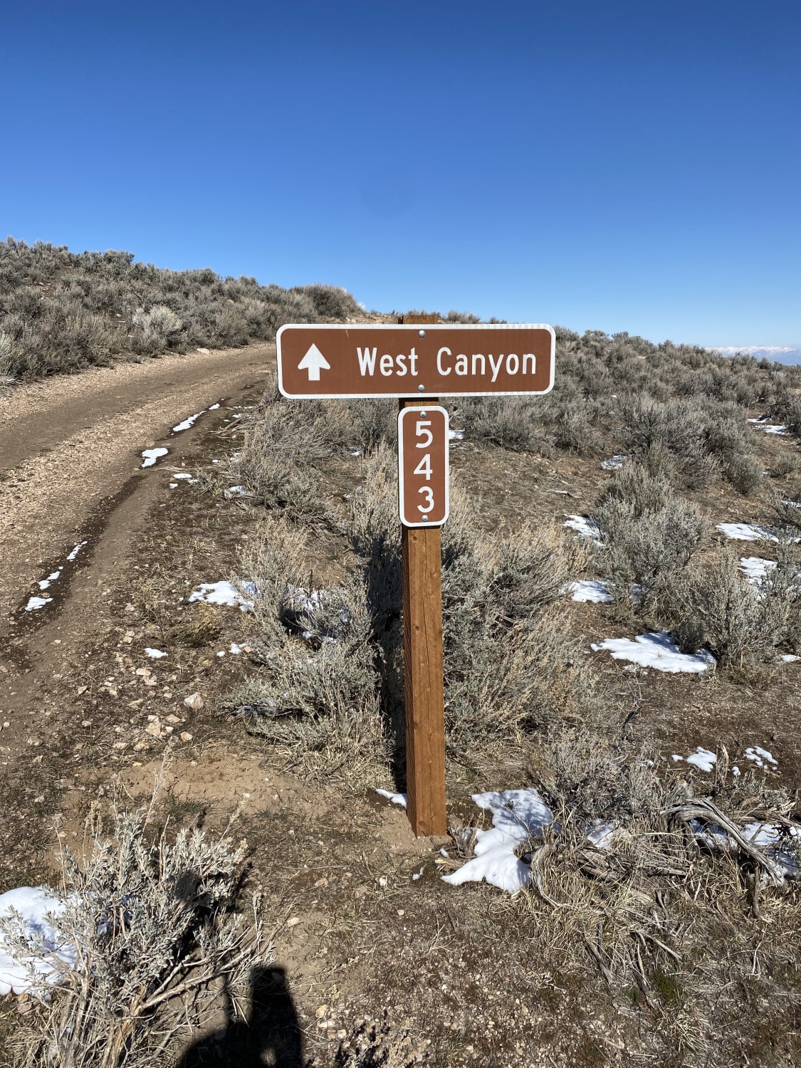
Magpie Road to West Canyon Trailhead
Total Miles
4.1
Tech Rating
Easy
Best Time
Spring, Summer, Fall, Winter
Learn more about Main Canyon - FS 70046
Main Canyon - FS 70046
Total Miles
11.2
Tech Rating
Moderate
Best Time
Summer, Fall
Learn more about Mammoth Cave Road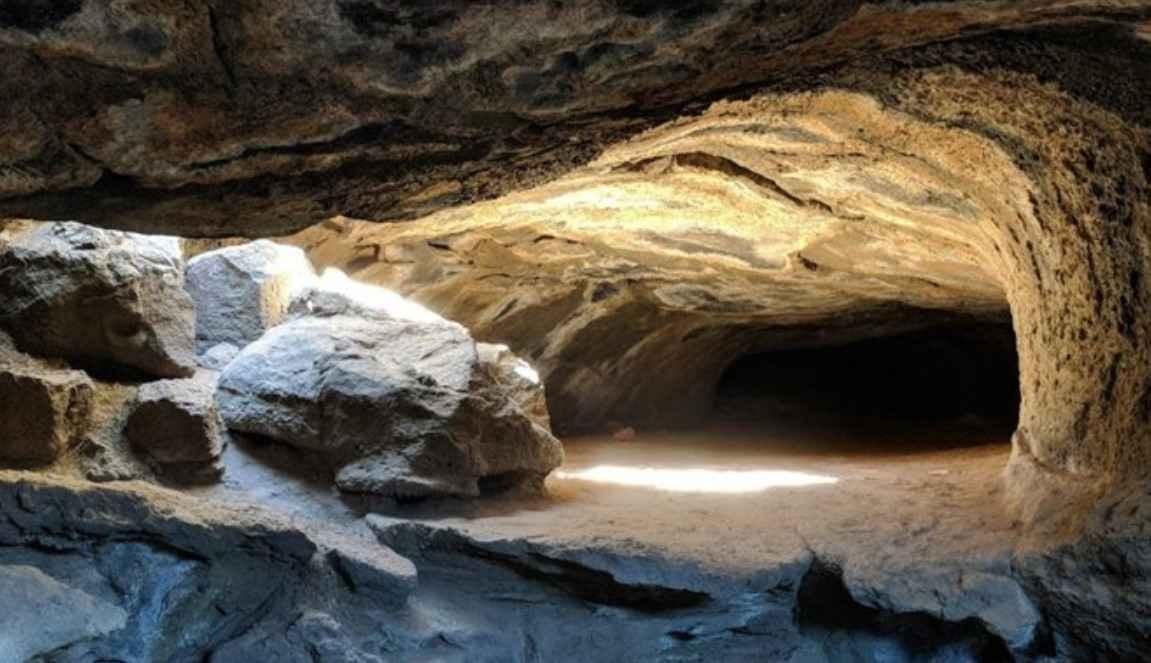
Mammoth Cave Road
Total Miles
2.5
Tech Rating
Easy
Best Time
Spring, Summer, Fall, Winter
Learn more about Manning Creek Canyon (FS# 42000)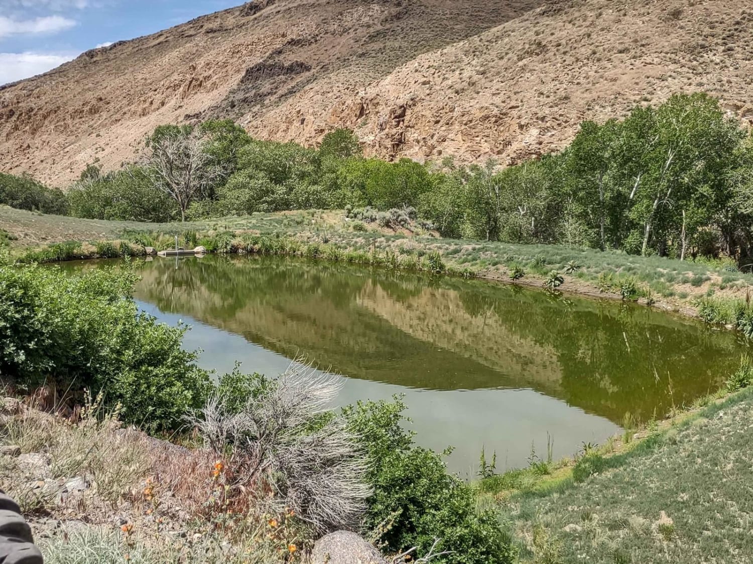
Manning Creek Canyon (FS# 42000)
Total Miles
2.4
Tech Rating
Easy
Best Time
Spring, Summer, Fall
Learn more about Mansard Trail North (BLM 104)
Mansard Trail North (BLM 104)
Total Miles
3.9
Tech Rating
Easy
Best Time
Spring, Summer, Fall
Learn more about Maple Bench Road
Maple Bench Road
Total Miles
3.6
Tech Rating
Moderate
Best Time
Spring, Summer, Fall, Winter
Learn more about Maple Springs Trail
Maple Springs Trail
Total Miles
9.0
Tech Rating
Moderate
Best Time
Spring, Summer, Fall
Learn more about Mapleton-Sawmill Hollow (8013)
Mapleton-Sawmill Hollow (8013)
Total Miles
4.8
Tech Rating
Moderate
Best Time
Summer, Fall
Learn more about Maragunt Plateau 1
Maragunt Plateau 1
Total Miles
2.0
Tech Rating
Easy
Best Time
Summer, Fall
ATV trails in Utah

Learn more about 14 Mile Road
14 Mile Road
Total Miles
14.7
Tech Rating
Easy
Best Time
Spring, Summer, Fall, Winter


UTV/side-by-side trails in Utah
Learn more about 14 Mile Road
14 Mile Road
Total Miles
14.7
Tech Rating
Easy
Best Time
Spring, Summer, Fall, Winter
The onX Offroad Difference
onX Offroad combines trail photos, descriptions, difficulty ratings, width restrictions, seasonality, and more in a user-friendly interface. Available on all devices, with offline access and full compatibility with CarPlay and Android Auto. Discover what you’re missing today!