Lower Wedge Road
Total Miles
3.7
Technical Rating
Best Time
Spring, Summer, Fall, Winter
Trail Type
Full-Width Road
Accessible By
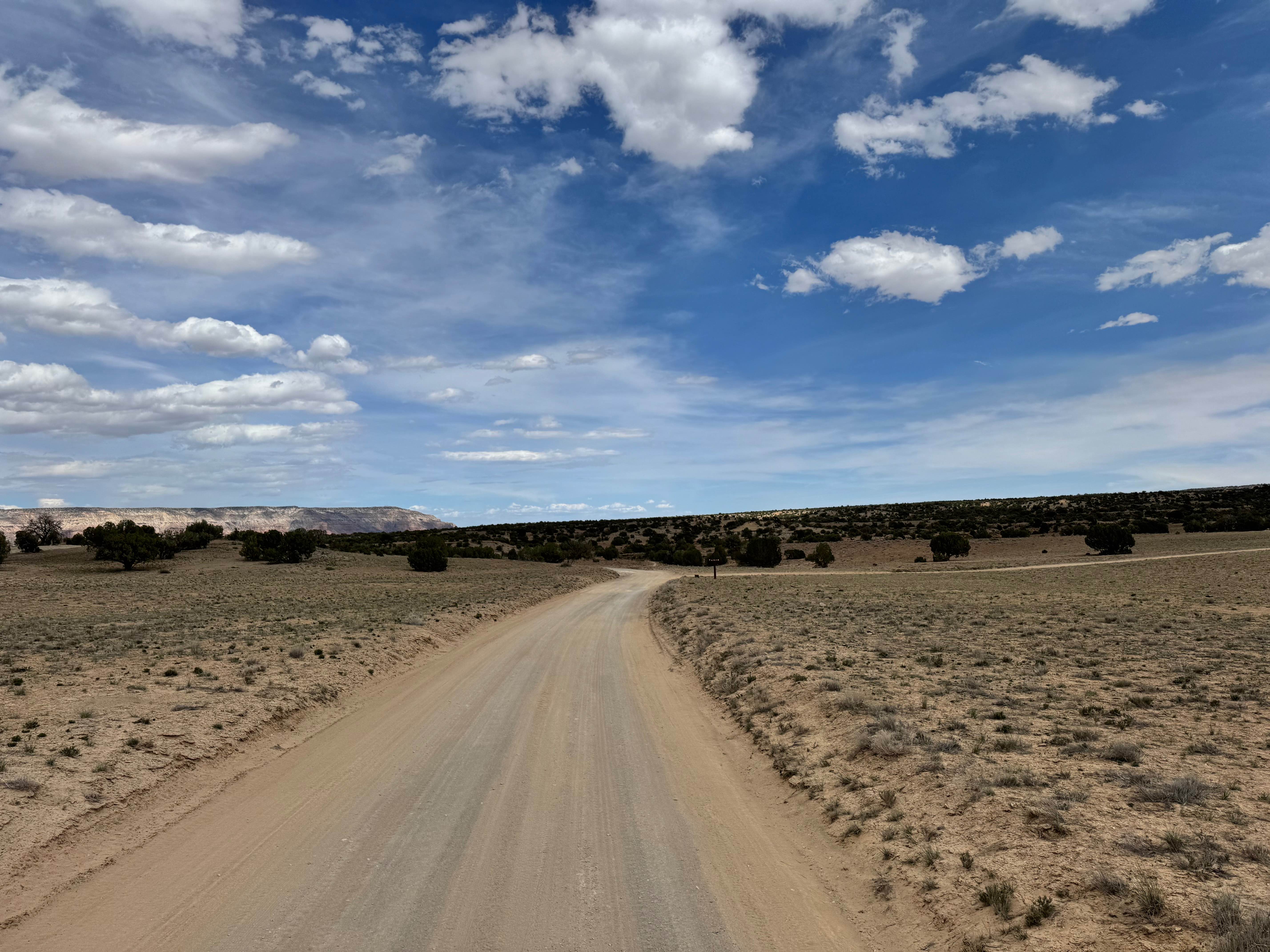
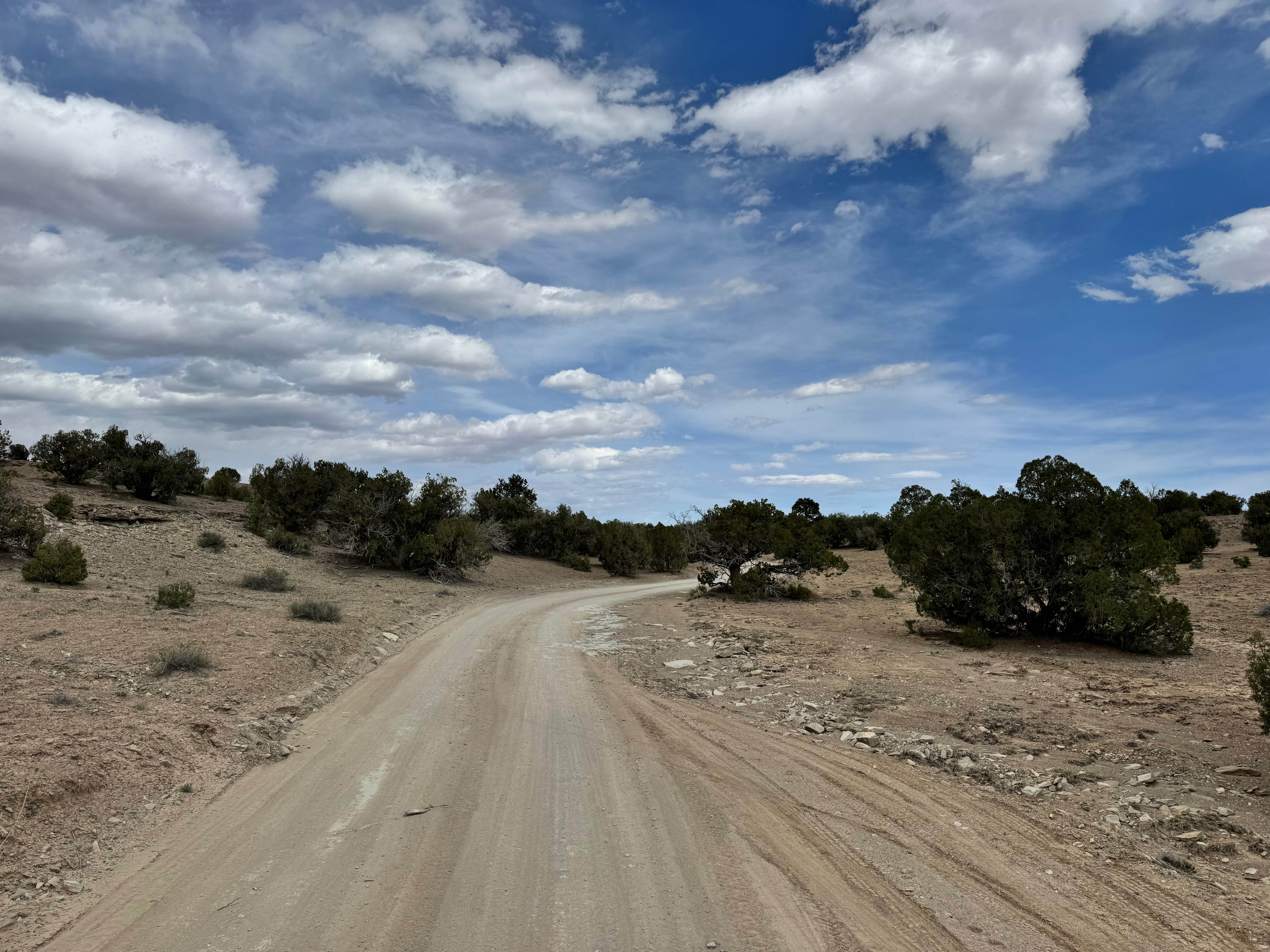
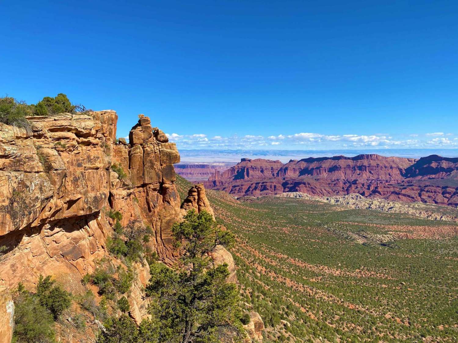
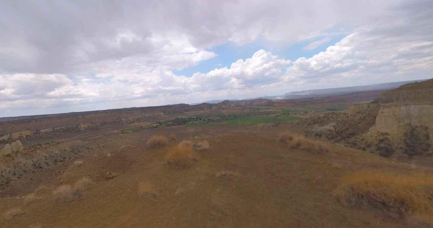
Trail Overview
Non-Resident OHV permits apply to ATVs, UTVs, and dirt bikes. Plated street-legal vehicles typically do not need one on legal motorized routes. This route is a very well-maintained dirt road and one of the easiest accesses in the area, making it suitable for most vehicles, including 2WD trucks and even larger campers when conditions are dry. The road winds through scattered trees and leads to the Lower Wedge area, known for having some of the best camping opportunities nearby. Campsites include both free BLM-designated sites and improved fee sites, ranging from large open spaces for RVs or groups to smaller, more private tent sites with scenic canyon views. Dispersed camping outside marked areas is not allowed. Vault toilets are located near campsite 5 for visitor convenience. The trail ends at a scenic turnaround overlooking the canyon with Cedar Mountain in the distance. Large campers should avoid continuing all the way to the overlook due to narrow sections and a tight turnaround. The main challenge is navigating blind corners around the trees, so drive slowly and watch for oncoming traffic.
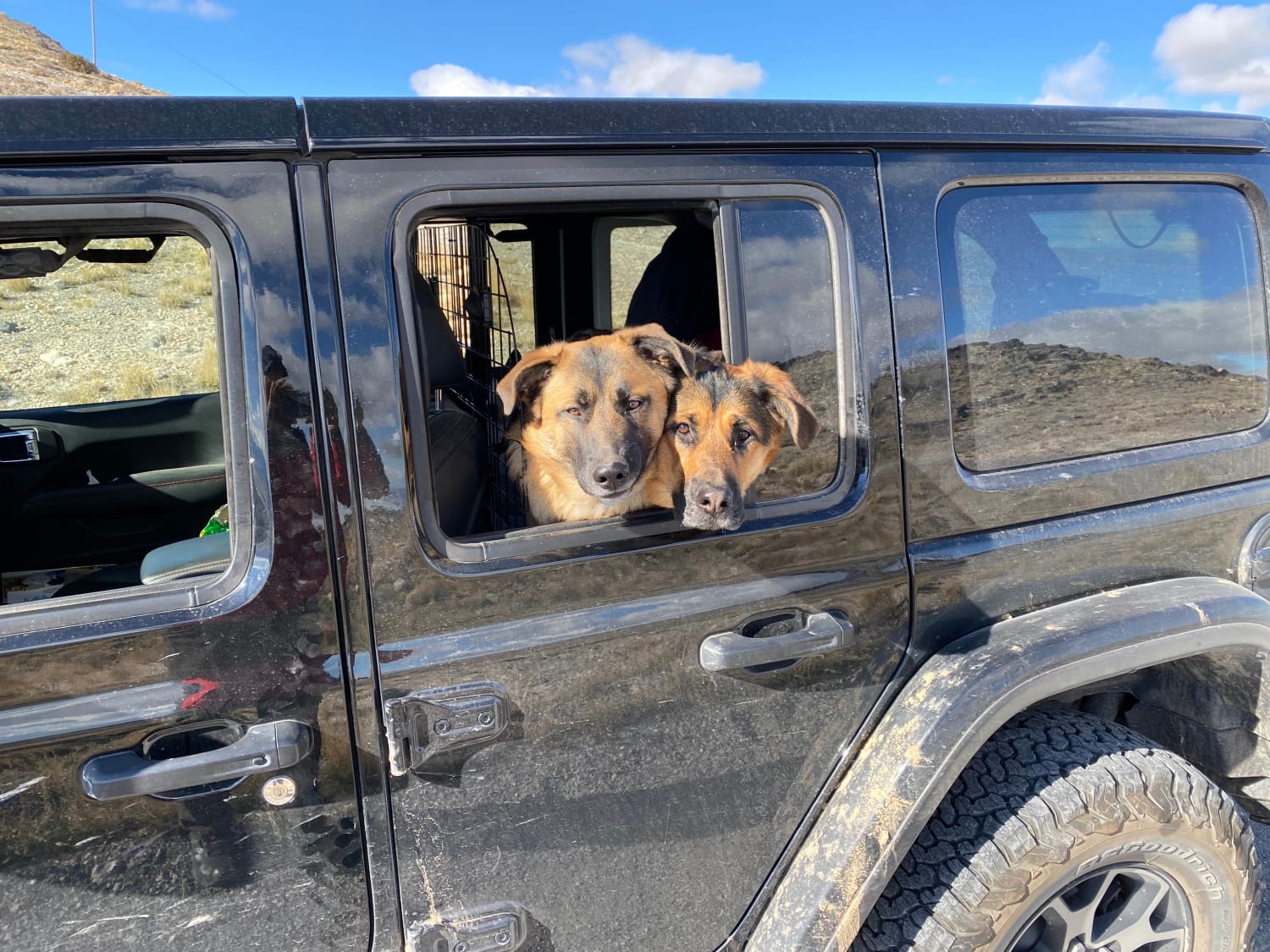
Photos of Lower Wedge Road
Difficulty
This is a smooth, well-maintained dirt road with no significant obstacles, steep climbs, or technical terrain in dry conditions. Suitable for passenger vehicles, 2WD trucks, vans, and most campers. The only notable challenges are blind corners around the trees, occasional narrow sections near the overlook, and the tight turnaround at the end. Large RVs or trailers should use caution past the main camping areas. Avoid travel during heavy rain, when dirt roads can become slick or soft.
History
The San Rafael Swell is a massive geologic uplift shaped by erosion into canyons, mesas, domes, and reefs. Many roads in the region were later used for ranching, mining, and energy exploration, creating the access routes travelers still use today.
Status Reports
Lower Wedge Road can be accessed by the following ride types:
- High-Clearance 4x4
- SUV
- SxS (60")
- ATV (50")
- Dirt Bike
Lower Wedge Road Map
Popular Trails
Temple Fork and Old Ephraim's Grave
Coal Bench Road-Garfield County 7800
Black Mountain Road to Tower Site
The onX Offroad Difference
onX Offroad combines trail photos, descriptions, difficulty ratings, width restrictions, seasonality, and more in a user-friendly interface. Available on all devices, with offline access and full compatibility with CarPlay and Android Auto. Discover what you’re missing today!