Off-Road Trails in Utah
Discover off-road trails in Utah
Learn more about Lockhart Canyon - CR122
Lockhart Canyon - CR122
Total Miles
5.3
Tech Rating
Easy
Best Time
Spring, Summer, Fall, Winter
Learn more about Lone Cedar Road - BLM14900
Lone Cedar Road - BLM14900
Total Miles
4.3
Tech Rating
Easy
Best Time
Spring, Summer, Fall, Winter
Learn more about Lone Rock Loop
Lone Rock Loop
Total Miles
3.0
Tech Rating
Easy
Best Time
Spring, Summer, Fall, Winter
Learn more about Long Canyon
Long Canyon
Total Miles
7.5
Tech Rating
Easy
Best Time
Spring, Summer, Fall, Winter
Learn more about Long Hollow ATV 
Long Hollow ATV
Total Miles
7.2
Tech Rating
Moderate
Best Time
Spring, Summer, Fall
Learn more about Long Juab Canyon
Long Juab Canyon
Total Miles
5.2
Tech Rating
Easy
Best Time
Spring, Summer, Fall, Winter
Learn more about Long Ridge - FS 10148
Long Ridge - FS 10148
Total Miles
10.4
Tech Rating
Easy
Best Time
Summer, Fall
Learn more about Long Valley Climb
Long Valley Climb
Total Miles
1.4
Tech Rating
Moderate
Best Time
Spring, Summer, Fall, Winter
Learn more about Long Valley Cutoff
Long Valley Cutoff
Total Miles
1.2
Tech Rating
Easy
Best Time
Spring, Summer, Fall, Winter
Learn more about Long Valley Foothills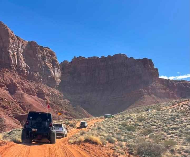
Long Valley Foothills
Total Miles
7.3
Tech Rating
Moderate
Best Time
Spring, Summer, Fall, Winter
Learn more about Long Valley Loop
Long Valley Loop
Total Miles
3.6
Tech Rating
Easy
Best Time
Spring, Summer, Fall, Winter
Learn more about Long Valley Road
Long Valley Road
Total Miles
7.0
Tech Rating
Easy
Best Time
Spring, Summer, Fall, Winter
Learn more about Looking Glass to Anticline Overlook
Looking Glass to Anticline Overlook
Total Miles
33.9
Tech Rating
Easy
Best Time
Spring, Summer, Fall, Winter

Learn more about Loop Road Trail FR Rd 636
Loop Road Trail FR Rd 636
Total Miles
1.8
Tech Rating
Easy
Best Time
Spring, Summer, Fall
Learn more about Lost Creek Rex Reservoir- FS 40053
Lost Creek Rex Reservoir- FS 40053
Total Miles
5.3
Tech Rating
Easy
Best Time
Spring, Summer, Fall
Learn more about Lost Creek Road
Lost Creek Road
Total Miles
10.6
Tech Rating
Moderate
Best Time
Spring, Summer, Fall
ATV trails in Utah

Learn more about 14 Mile Road
14 Mile Road
Total Miles
14.7
Tech Rating
Easy
Best Time
Spring, Summer, Fall, Winter


UTV/side-by-side trails in Utah
Learn more about 14 Mile Road
14 Mile Road
Total Miles
14.7
Tech Rating
Easy
Best Time
Spring, Summer, Fall, Winter
The onX Offroad Difference
onX Offroad combines trail photos, descriptions, difficulty ratings, width restrictions, seasonality, and more in a user-friendly interface. Available on all devices, with offline access and full compatibility with CarPlay and Android Auto. Discover what you’re missing today!