Off-Road Trails in Utah
Discover off-road trails in Utah
Learn more about Lambert Many Rds 2 (FR 80920)
Lambert Many Rds 2 (FR 80920)
Total Miles
0.6
Tech Rating
Moderate
Best Time
Summer, Fall
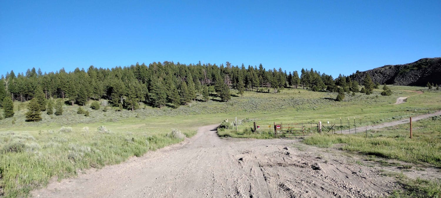
Learn more about Lambert Meadows - FR 80107
Lambert Meadows - FR 80107
Total Miles
4.1
Tech Rating
Moderate
Best Time
Summer, Fall
Learn more about Lambs Canyon 4x4
Lambs Canyon 4x4
Total Miles
3.8
Tech Rating
Moderate
Best Time
Summer, Fall
Learn more about Lame Horse (2055)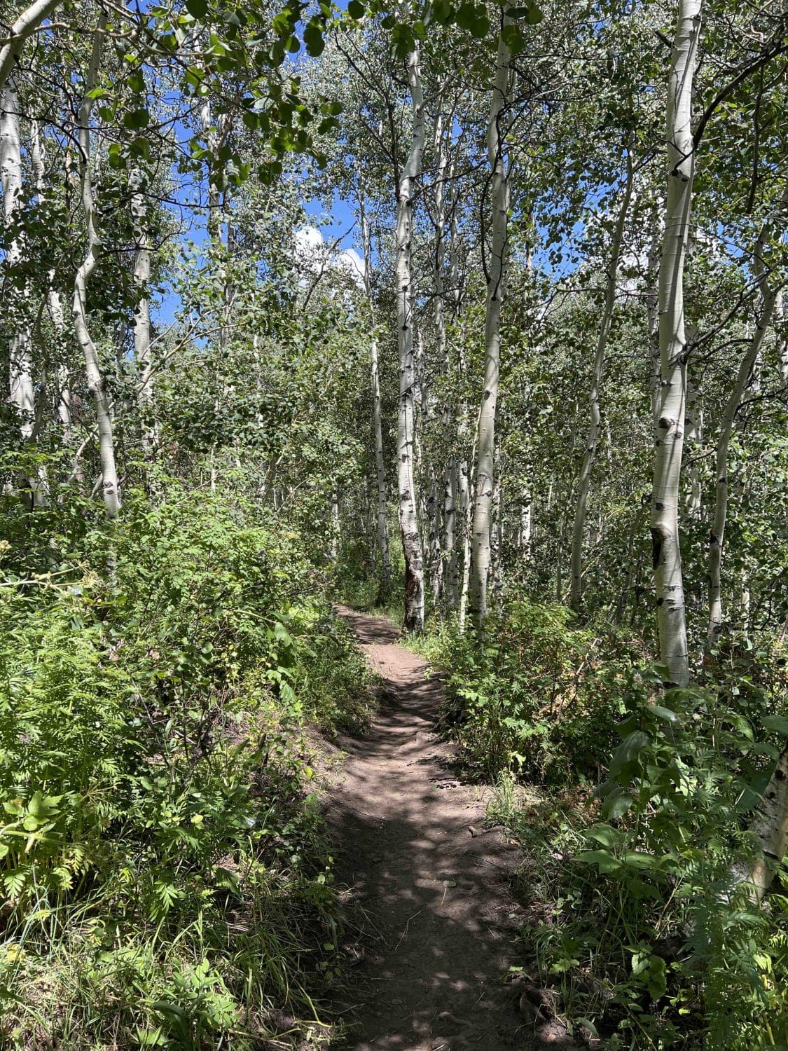
Lame Horse (2055)
Total Miles
3.4
Tech Rating
Easy
Best Time
Summer, Fall
Learn more about Lamerdorf Kiln Trail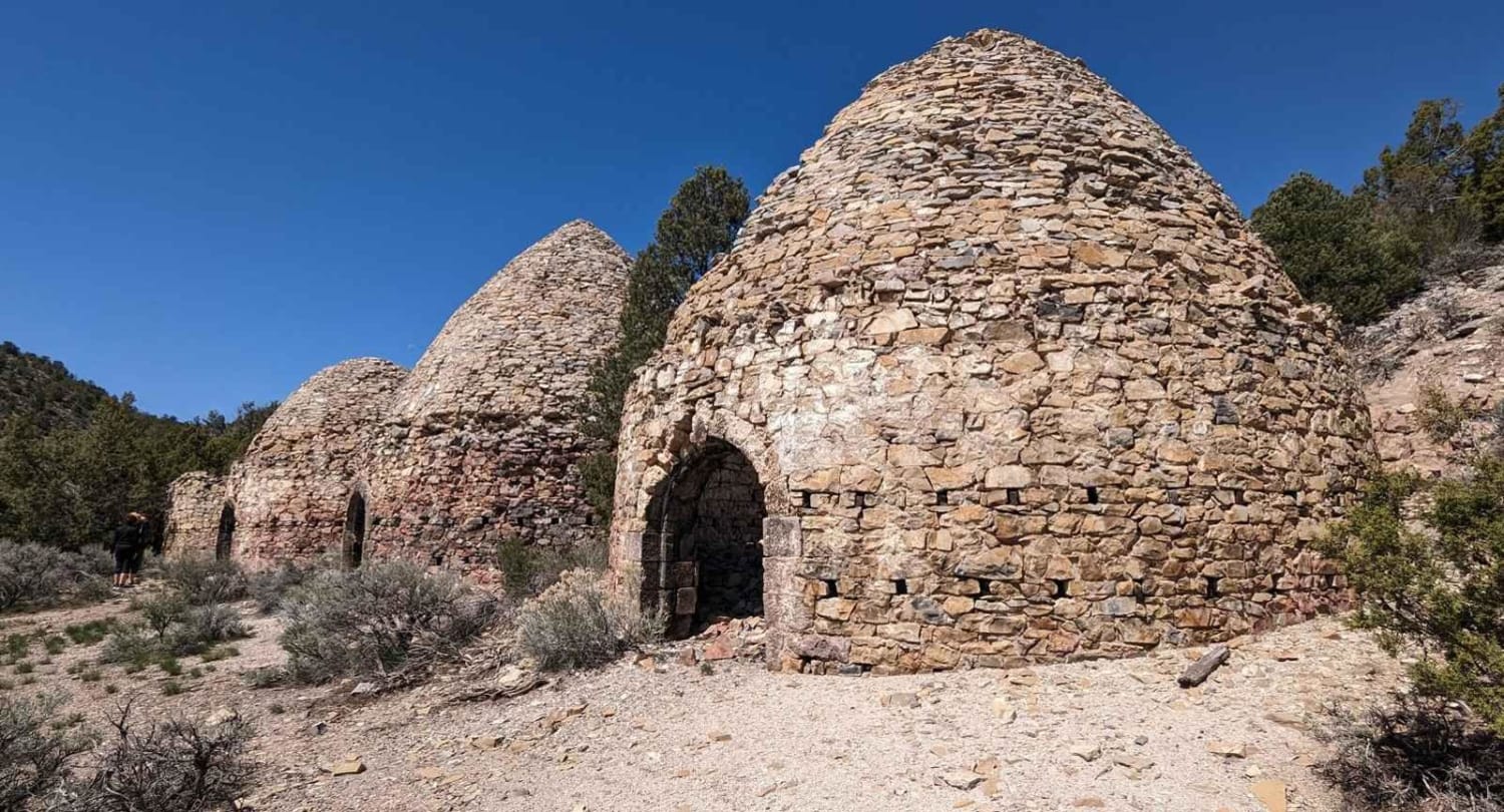
Lamerdorf Kiln Trail
Total Miles
1.5
Tech Rating
Moderate
Best Time
Spring, Summer, Fall, Winter
Learn more about Land of Standing Rocks, Doll House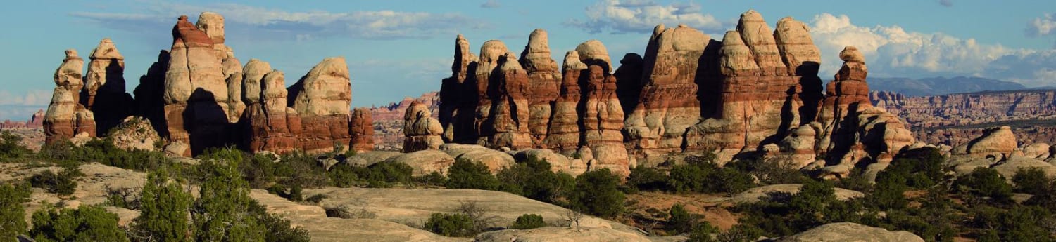
Land of Standing Rocks, Doll House
Total Miles
21.8
Tech Rating
Difficult
Best Time
Spring, Summer, Fall
Learn more about Last Chance Road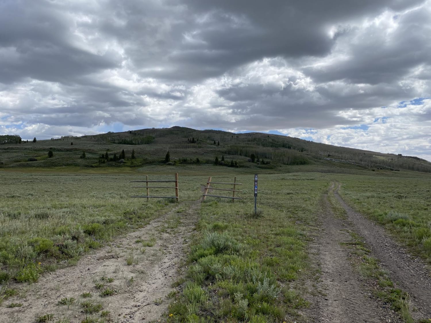
Last Chance Road
Total Miles
11.9
Tech Rating
Easy
Best Time
Spring, Summer, Fall
Learn more about Lathrop Canyon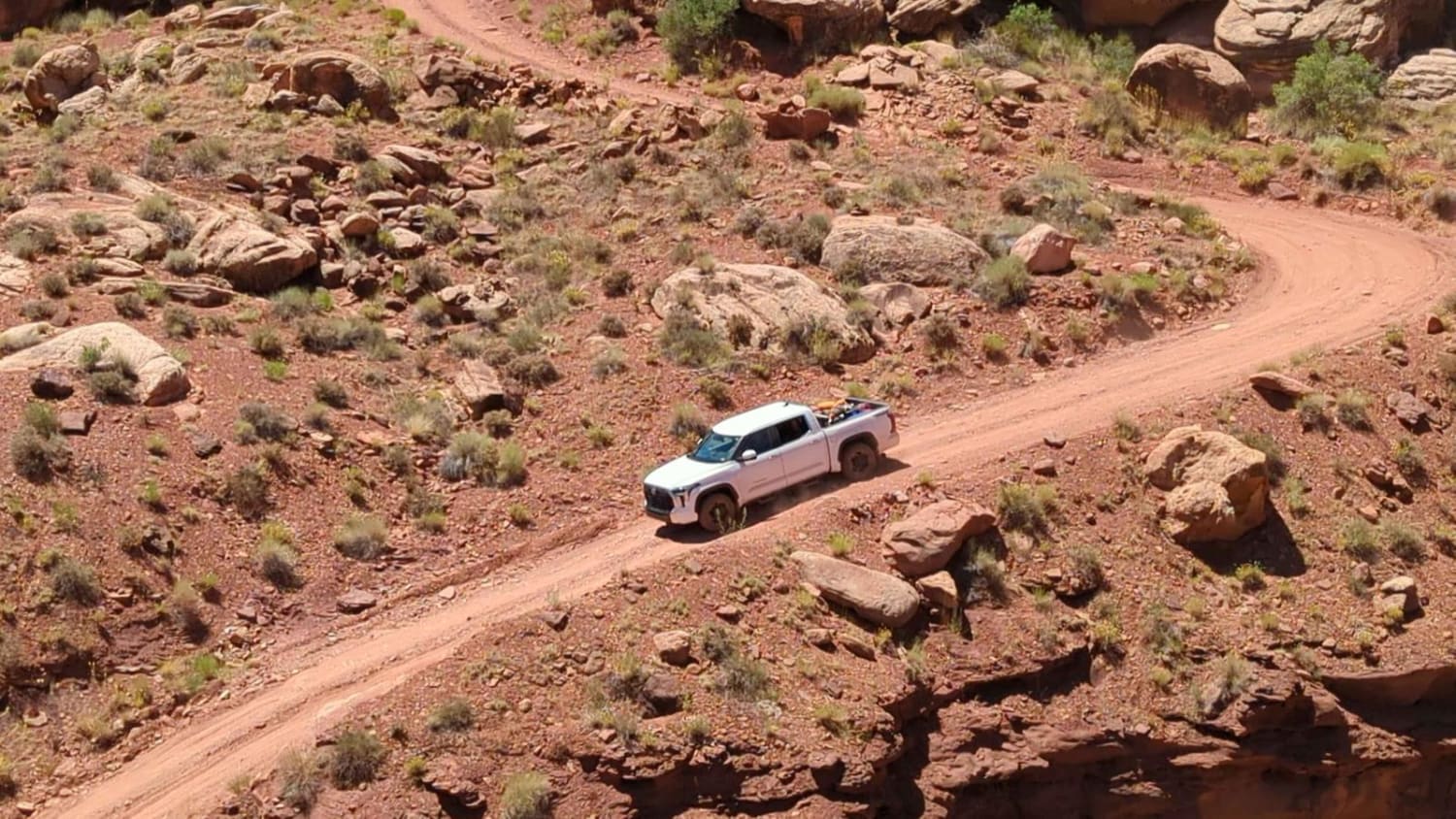
Lathrop Canyon
Total Miles
3.9
Tech Rating
Easy
Best Time
Spring, Summer, Fall, Winter
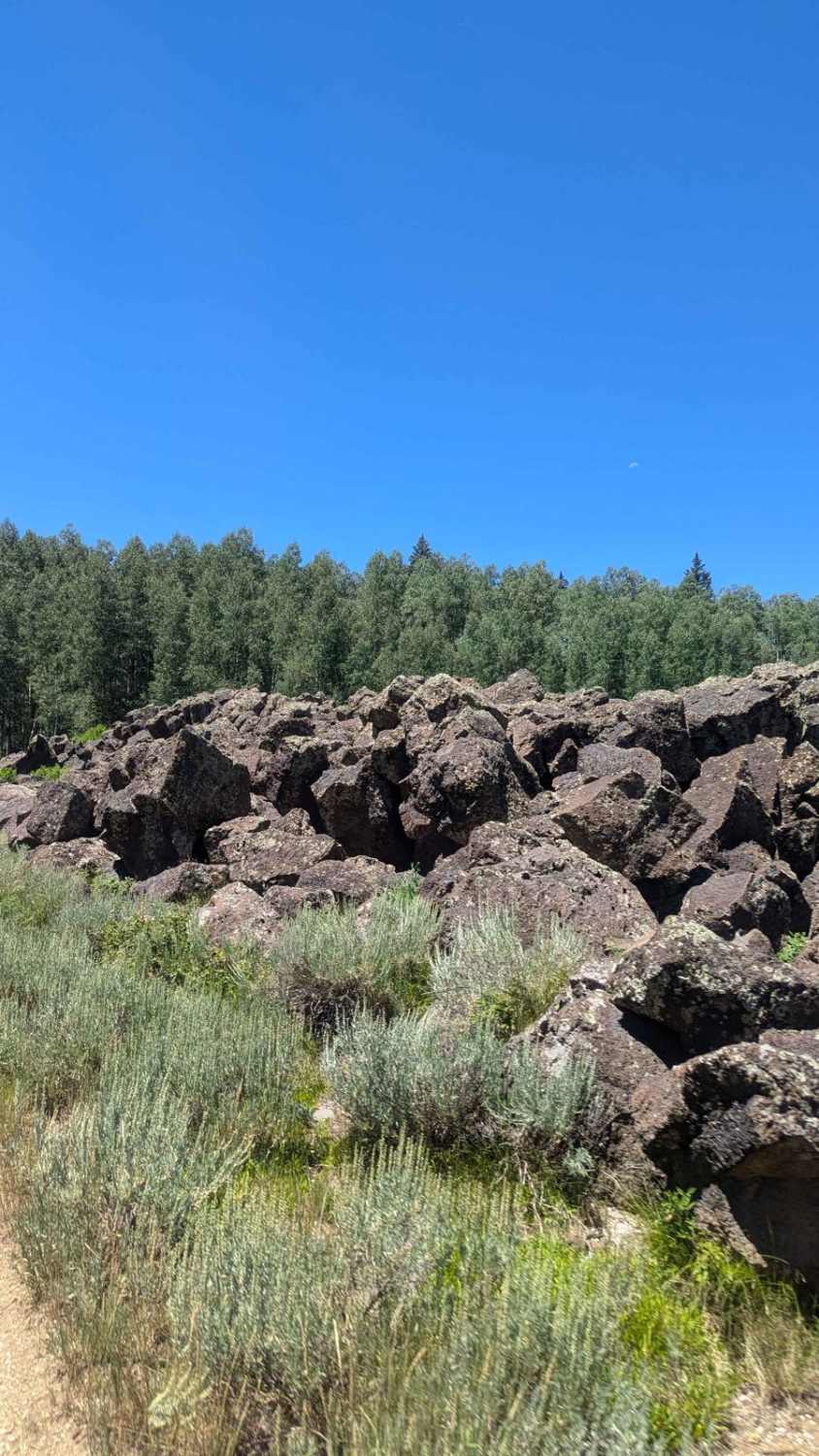
Learn more about Lava Rock Lookout
Lava Rock Lookout
Total Miles
0.9
Tech Rating
Easy
Best Time
Fall, Spring
Learn more about Lavender Canyon Road - North
Lavender Canyon Road - North
Total Miles
9.4
Tech Rating
Easy
Best Time
Fall, Winter, Spring
Learn more about Lawson's Ledge 
Lawson's Ledge
Total Miles
0.4
Tech Rating
Moderate
Best Time
Spring, Winter, Fall
Learn more about Layout - FR 70246
Layout - FR 70246
Total Miles
5.7
Tech Rating
Moderate
Best Time
Summer, Fall
Learn more about Leeds Cr-Cottonwood North Spur #30903
Leeds Cr-Cottonwood North Spur #30903
Total Miles
0.7
Tech Rating
Easy
Best Time
Spring, Summer, Fall, Winter
Learn more about Leeds Creek - Cottonwood Vista Loop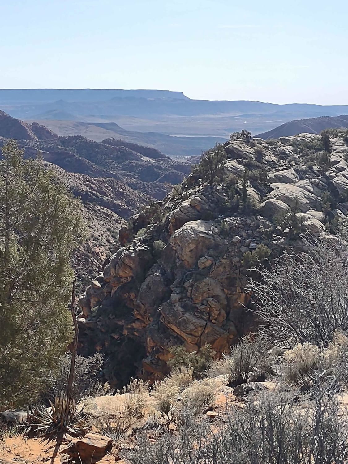
Leeds Creek - Cottonwood Vista Loop
Total Miles
0.4
Tech Rating
Easy
Best Time
Spring, Summer, Fall, Winter
Learn more about Leeds Creek-Cottonwood Spur #30905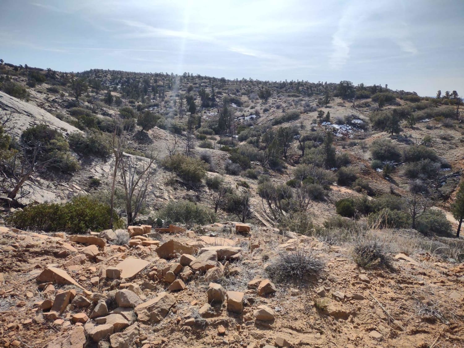
Leeds Creek-Cottonwood Spur #30905
Total Miles
0.6
Tech Rating
Easy
Best Time
Spring, Summer, Fall, Winter
Learn more about Leeds-Cottonwood Elephant Skin Canyon
Leeds-Cottonwood Elephant Skin Canyon
Total Miles
0.8
Tech Rating
Easy
Best Time
Spring, Summer, Fall, Winter
ATV trails in Utah

Learn more about 14 Mile Road
14 Mile Road
Total Miles
14.7
Tech Rating
Easy
Best Time
Spring, Summer, Fall, Winter


UTV/side-by-side trails in Utah
Learn more about 14 Mile Road
14 Mile Road
Total Miles
14.7
Tech Rating
Easy
Best Time
Spring, Summer, Fall, Winter
The onX Offroad Difference
onX Offroad combines trail photos, descriptions, difficulty ratings, width restrictions, seasonality, and more in a user-friendly interface. Available on all devices, with offline access and full compatibility with CarPlay and Android Auto. Discover what you’re missing today!