Off-Road Trails in Utah
Discover off-road trails in Utah
Learn more about Kanab Creek Trail
Kanab Creek Trail
Total Miles
8.6
Tech Rating
Moderate
Best Time
Spring, Summer, Fall
Learn more about Kanab Creek-BLM107
Kanab Creek-BLM107
Total Miles
8.2
Tech Rating
Easy
Best Time
Spring, Summer, Fall, Winter
Learn more about Kanarra Mountain Road
Kanarra Mountain Road
Total Miles
7.0
Tech Rating
Easy
Best Time
Spring, Summer, Fall
Learn more about Kane Creek Canyon
Kane Creek Canyon
Total Miles
13.5
Tech Rating
Difficult
Best Time
Spring, Summer, Fall
Learn more about Kane Creek Overlook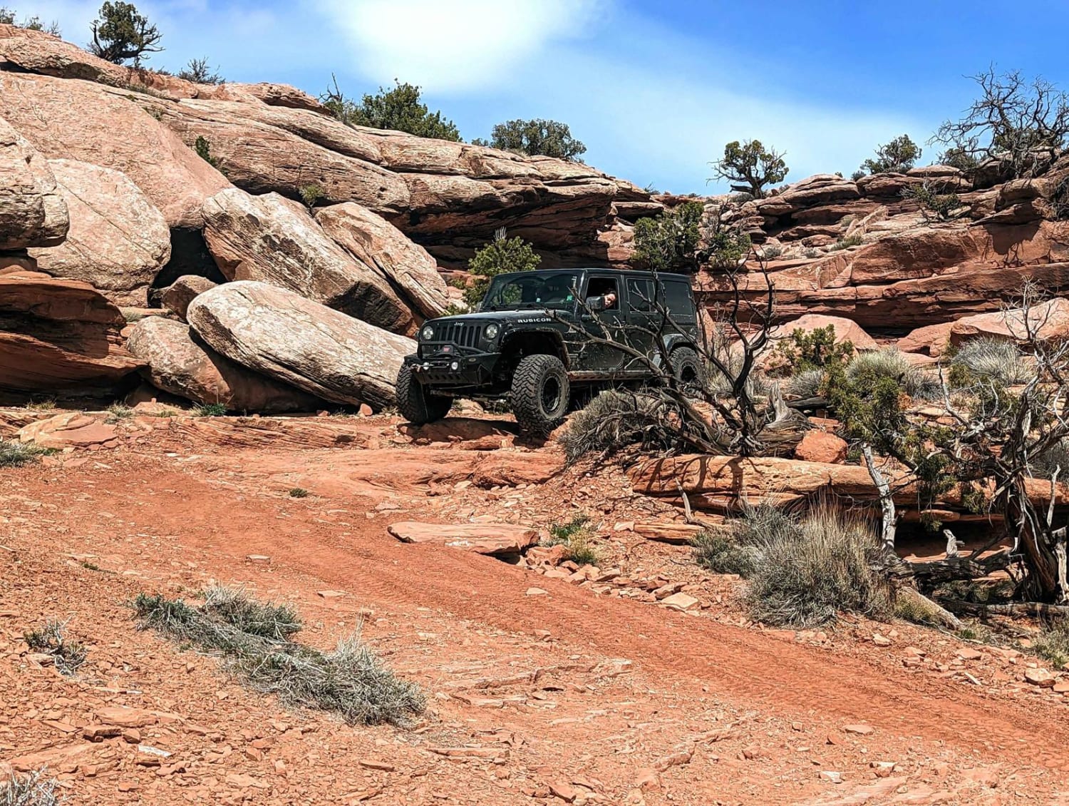
Kane Creek Overlook
Total Miles
7.0
Tech Rating
Easy
Best Time
Spring, Fall, Summer
Learn more about Keg Mountain Road
Keg Mountain Road
Total Miles
13.0
Tech Rating
Easy
Best Time
Spring, Fall
Learn more about Kennecott Copper Mine Overlook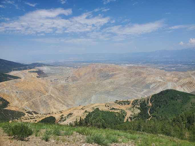
Kennecott Copper Mine Overlook
Total Miles
2.5
Tech Rating
Easy
Best Time
Summer
Learn more about Kent's Lakes to LeBaron Lake (FS 40137)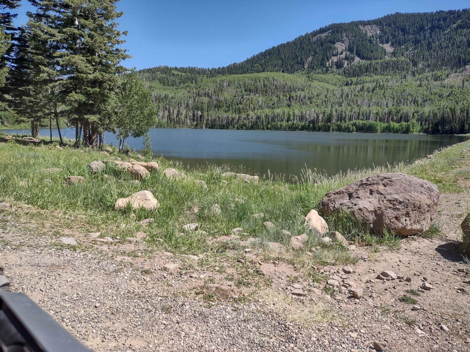
Kent's Lakes to LeBaron Lake (FS 40137)
Total Miles
15.8
Tech Rating
Easy
Best Time
Spring, Summer, Fall
Learn more about King Ranch Road-BLM14200
King Ranch Road-BLM14200
Total Miles
12.8
Tech Rating
Easy
Best Time
Spring, Summer, Fall, Winter
Learn more about Kingston Canyon (Paiute 1 Trail)
Kingston Canyon (Paiute 1 Trail)
Total Miles
8.4
Tech Rating
Easy
Best Time
Spring, Summer, Fall
Learn more about Kirkman Hollow (8012)
Kirkman Hollow (8012)
Total Miles
2.7
Tech Rating
Moderate
Best Time
Summer, Fall
Learn more about Klondike Bluffs Trail 
Klondike Bluffs Trail
Total Miles
2.4
Tech Rating
Moderate
Best Time
Spring, Fall, Winter
Learn more about Knoll Hollow ATV Trail
Knoll Hollow ATV Trail
Total Miles
3.0
Tech Rating
Easy
Best Time
Spring, Summer, Fall
Learn more about Kokopelli and Westwater Loop
Kokopelli and Westwater Loop
Total Miles
25.6
Tech Rating
Moderate
Best Time
Spring, Summer, Fall
Learn more about Kokopelli Trail (Castle Valley Overlook to Sand Flats Road)
Kokopelli Trail (Castle Valley Overlook to Sand Flats Road)
Total Miles
3.3
Tech Rating
Easy
Best Time
Spring, Summer, Fall
Learn more about Kokopelli Trail (Onion Creek to Andy Mesa)
Kokopelli Trail (Onion Creek to Andy Mesa)
Total Miles
18.9
Tech Rating
Easy
Best Time
Spring, Summer, Fall
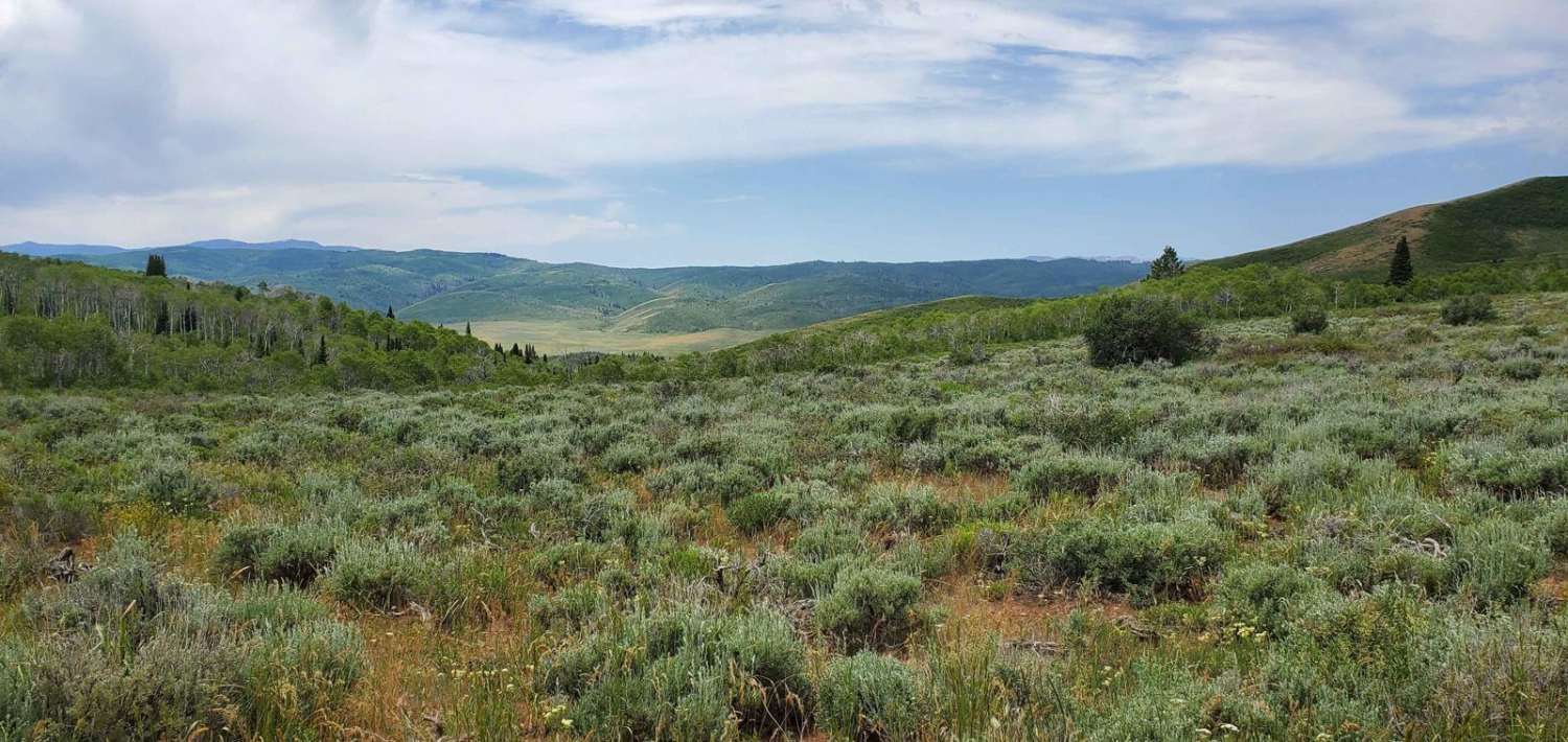
Learn more about Kolob Terrace Road
Kolob Terrace Road
Total Miles
15.2
Tech Rating
Easy
Best Time
Spring, Summer, Fall
ATV trails in Utah

Learn more about 14 Mile Road
14 Mile Road
Total Miles
14.7
Tech Rating
Easy
Best Time
Spring, Summer, Fall, Winter


UTV/side-by-side trails in Utah
Learn more about 14 Mile Road
14 Mile Road
Total Miles
14.7
Tech Rating
Easy
Best Time
Spring, Summer, Fall, Winter
The onX Offroad Difference
onX Offroad combines trail photos, descriptions, difficulty ratings, width restrictions, seasonality, and more in a user-friendly interface. Available on all devices, with offline access and full compatibility with CarPlay and Android Auto. Discover what you’re missing today!